Downloaded 371 times

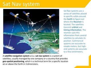
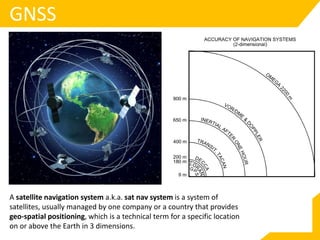
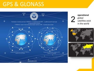

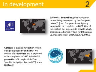
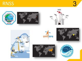
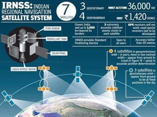
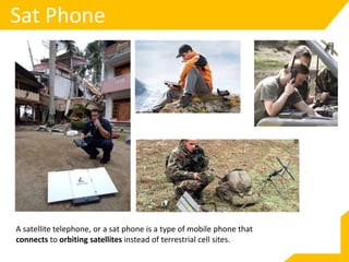
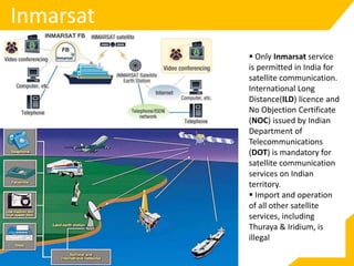
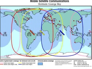
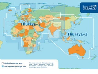
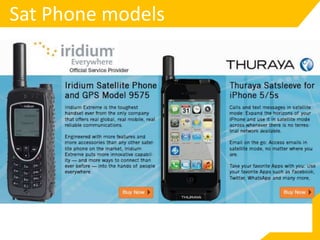


A satellite navigation system uses a network of satellites to provide geo-spatial positioning by calculating the location of a receiver on Earth from signals from multiple satellites. There are currently two global satellite navigation systems, GPS and GLONASS, as well as two more in development, Compass and Galileo. Satellite phones connect to communications satellites instead of terrestrial cell towers to provide mobile service anywhere. They have both military and civilian applications including precision weapons guidance, aircraft passenger information, and personal satellite communications.


!["GPS" Global Positioning System [PDF]](https://cdn.slidesharecdn.com/ss_thumbnails/globalpositioningsystemgpsmainpdf-101105164539-phpapp01-thumbnail.jpg?width=640&height=640&fit=bounds)


