Download as PDF, PPTX

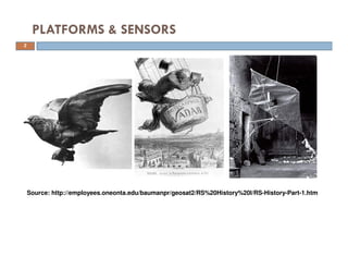
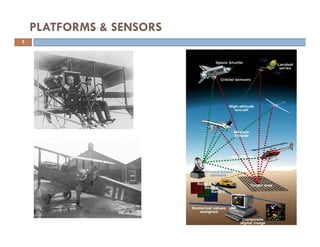
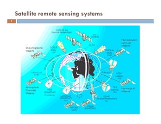
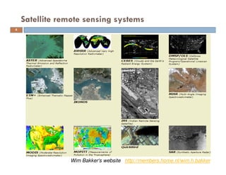
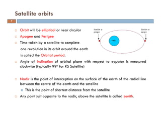
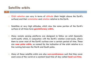
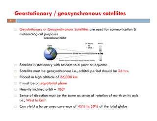
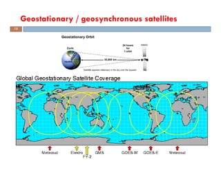
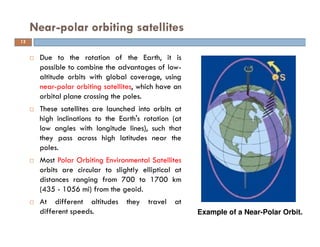
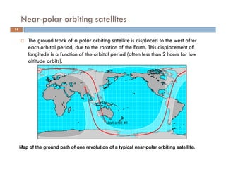
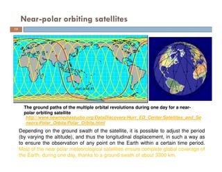
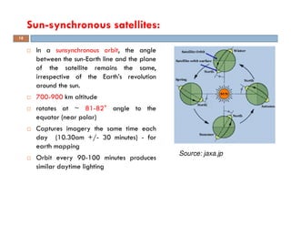
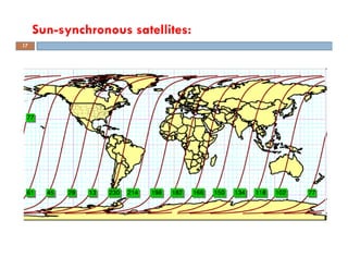
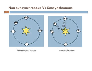
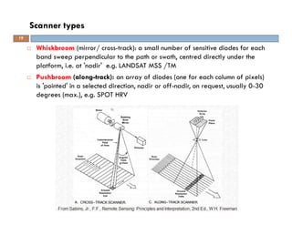
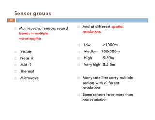
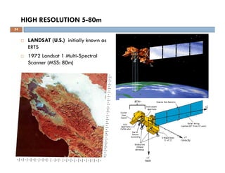
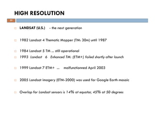
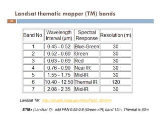
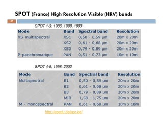

Remote sensing platforms can be satellites or aircraft that carry sensors to record wavelengths of energy reflected or emitted from the Earth's surface. Common satellite platforms include Landsat and SPOT, which have multispectral sensors that image the surface at spatial resolutions from 5-80 meters. Satellite orbits vary depending on the purpose, and include low Earth, sun-synchronous, and geostationary orbits. Near-polar orbiting satellites have orbits that cross the poles and combine with the Earth's rotation to provide global coverage over time. Remote sensing provides valuable data for applications in civil engineering and other fields.


![Engineering Economics: Solved exam problems [ch1-ch4]](https://cdn.slidesharecdn.com/ss_thumbnails/solvedexamproblemsch1-ch4-200220070043-thumbnail.jpg?width=640&height=640&fit=bounds)