Download as PDF, PPTX


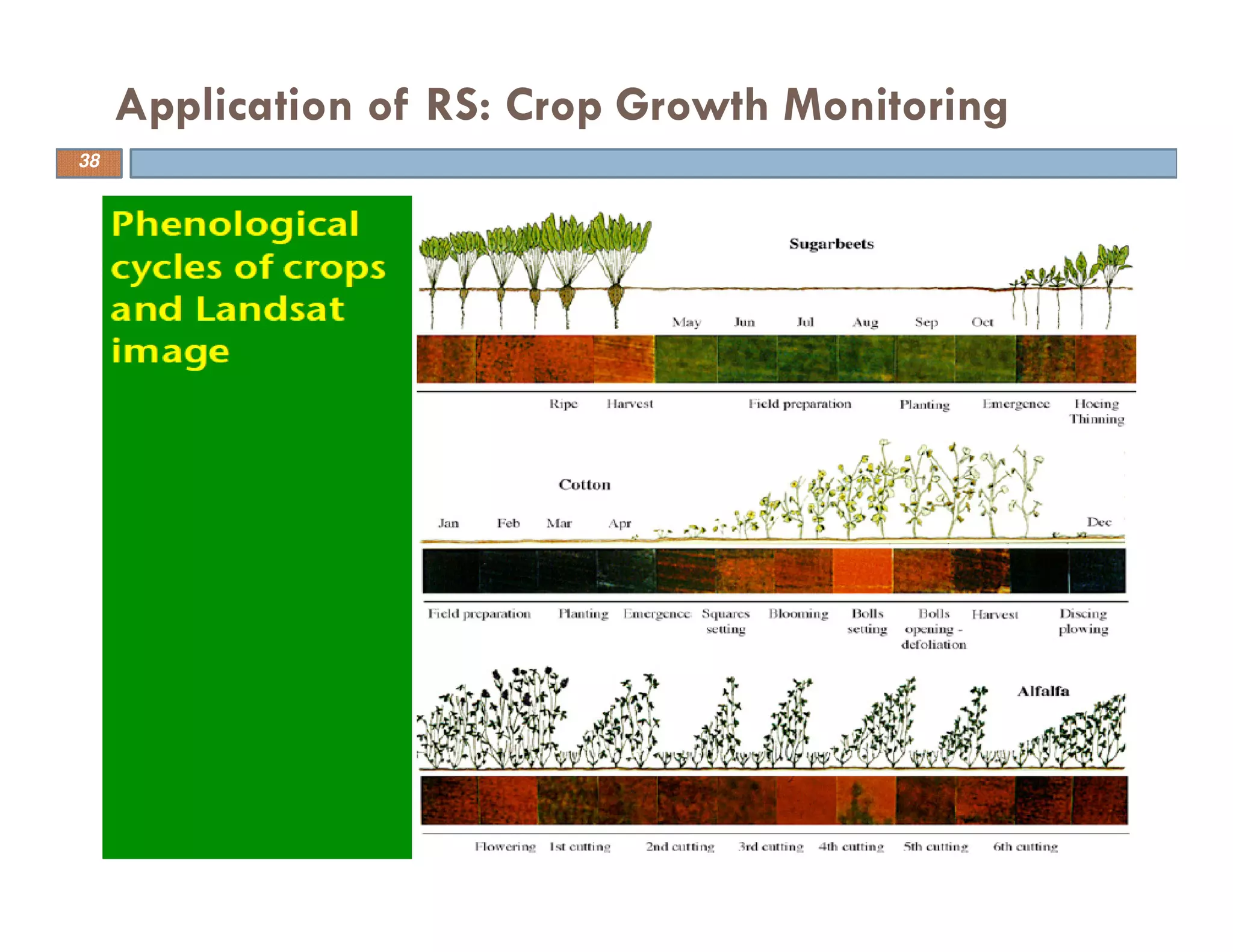
![Global Normalized difference vegetation index
(NDVI) map by MODIS (2003)
Application of RS: Crop Growth Monitoring
[GSFC, 2003]
39](https://image.slidesharecdn.com/introductiontoremotesensingandgis-150316013701-conversion-gate01/75/Introduction-to-remote-sensing-and-gis-39-2048.jpg)
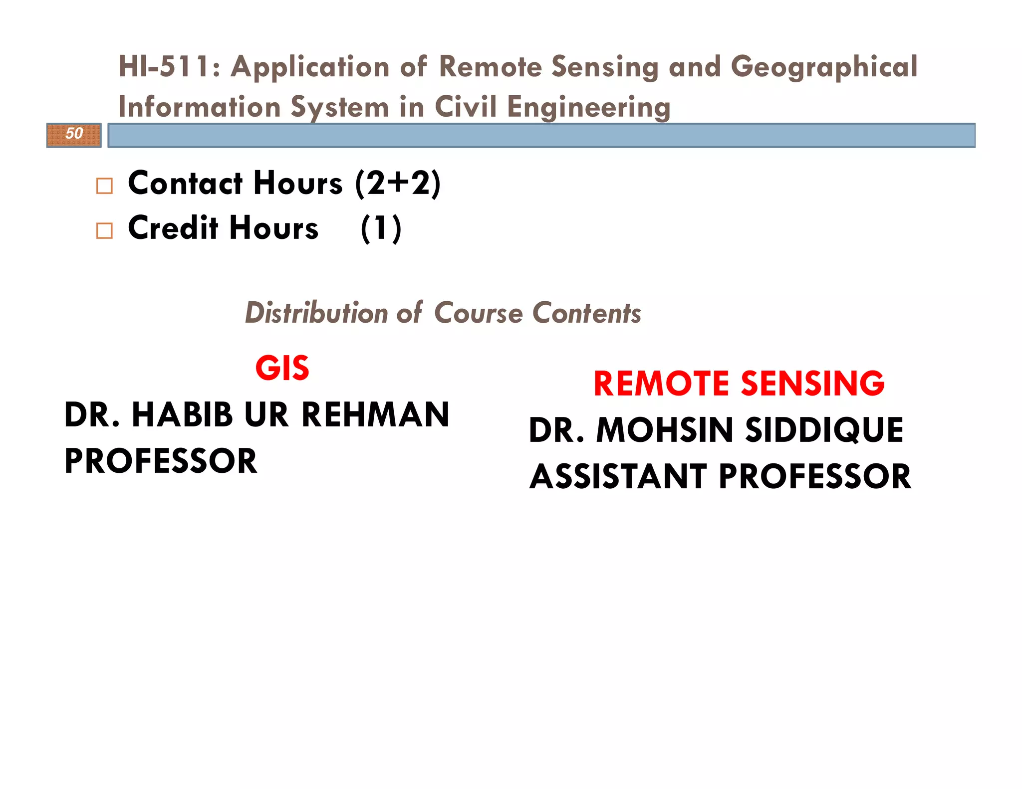
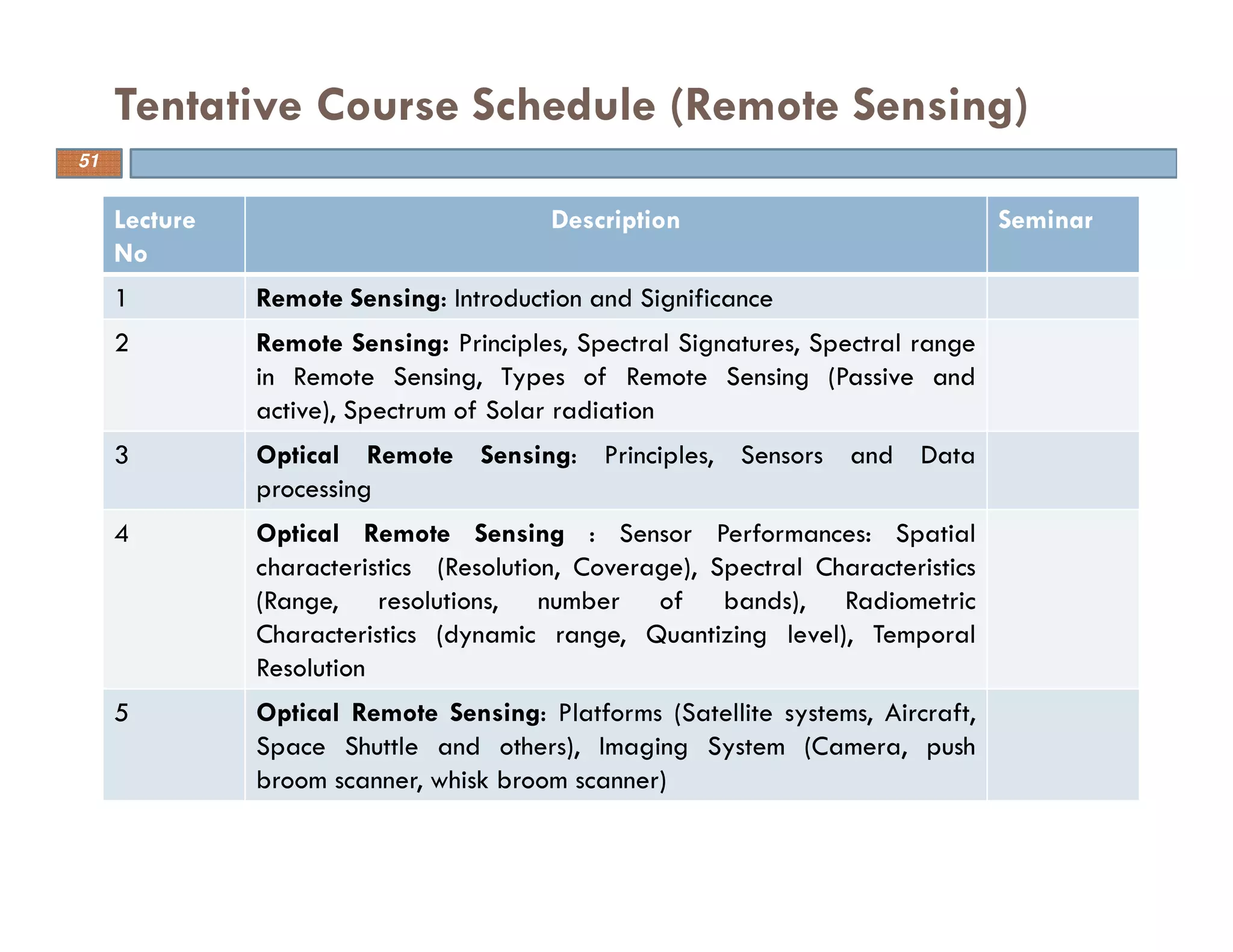
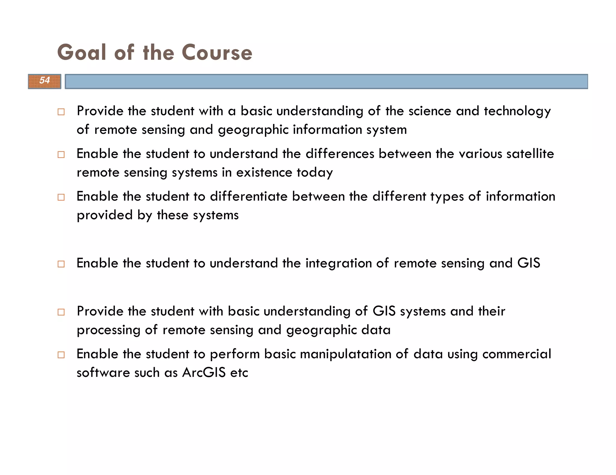


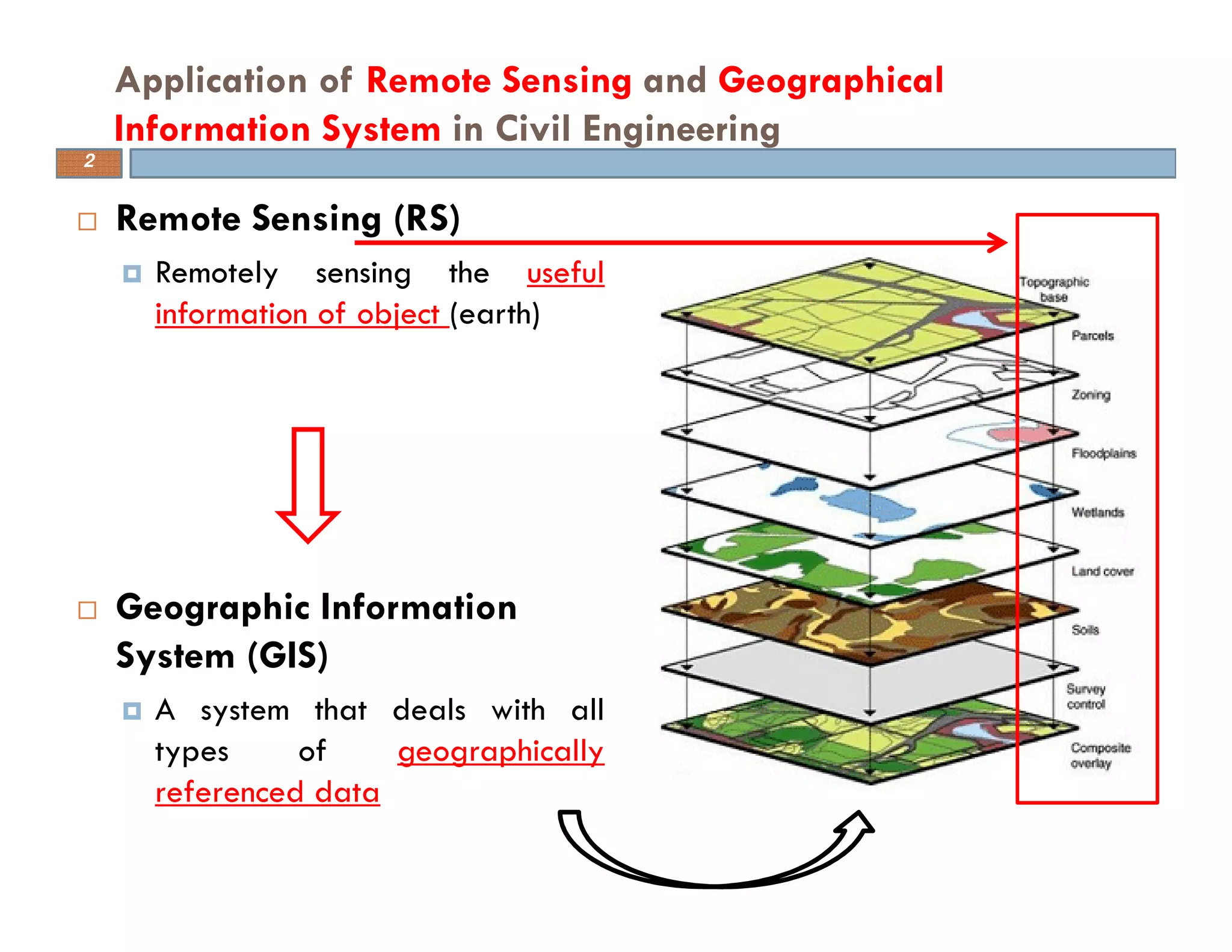
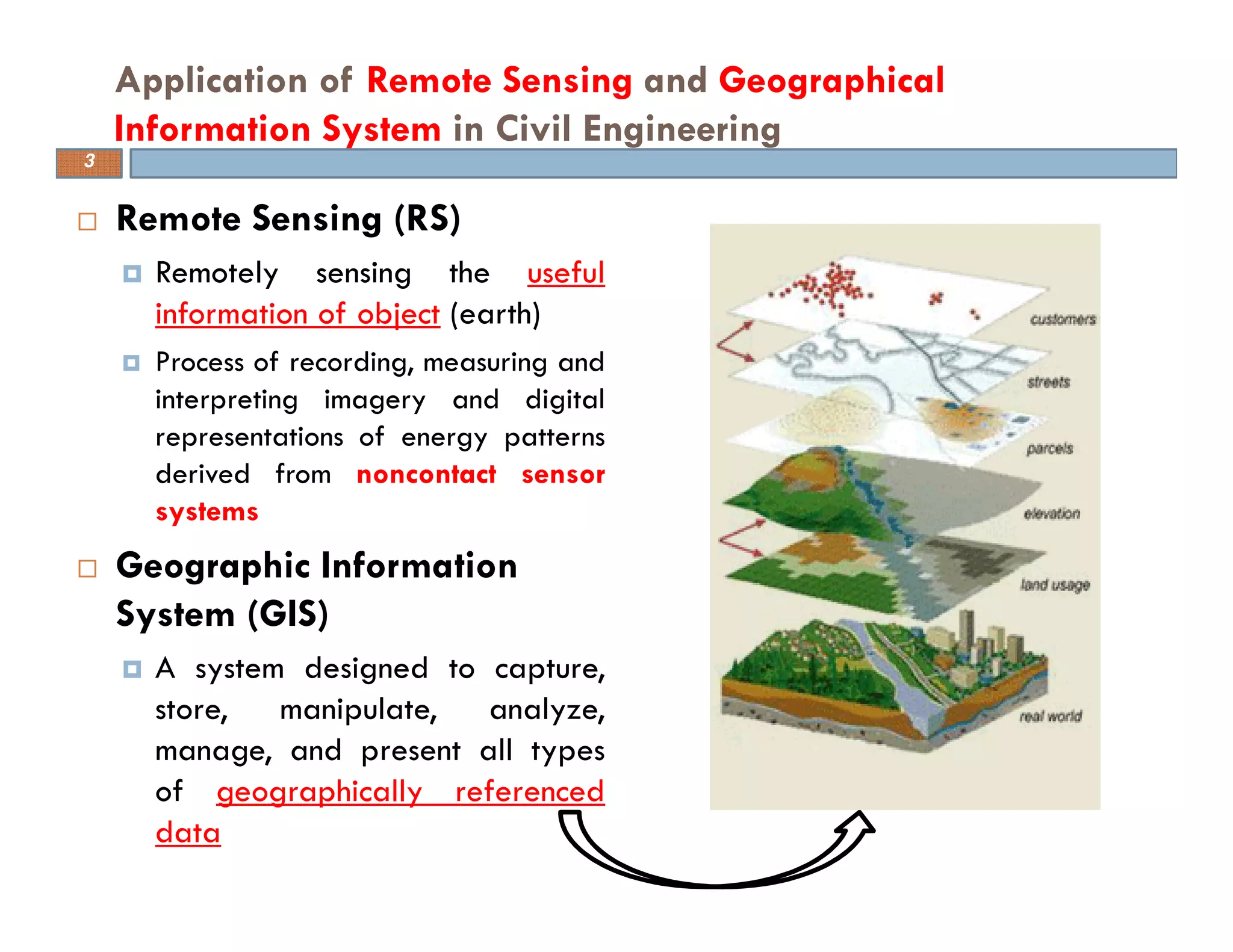
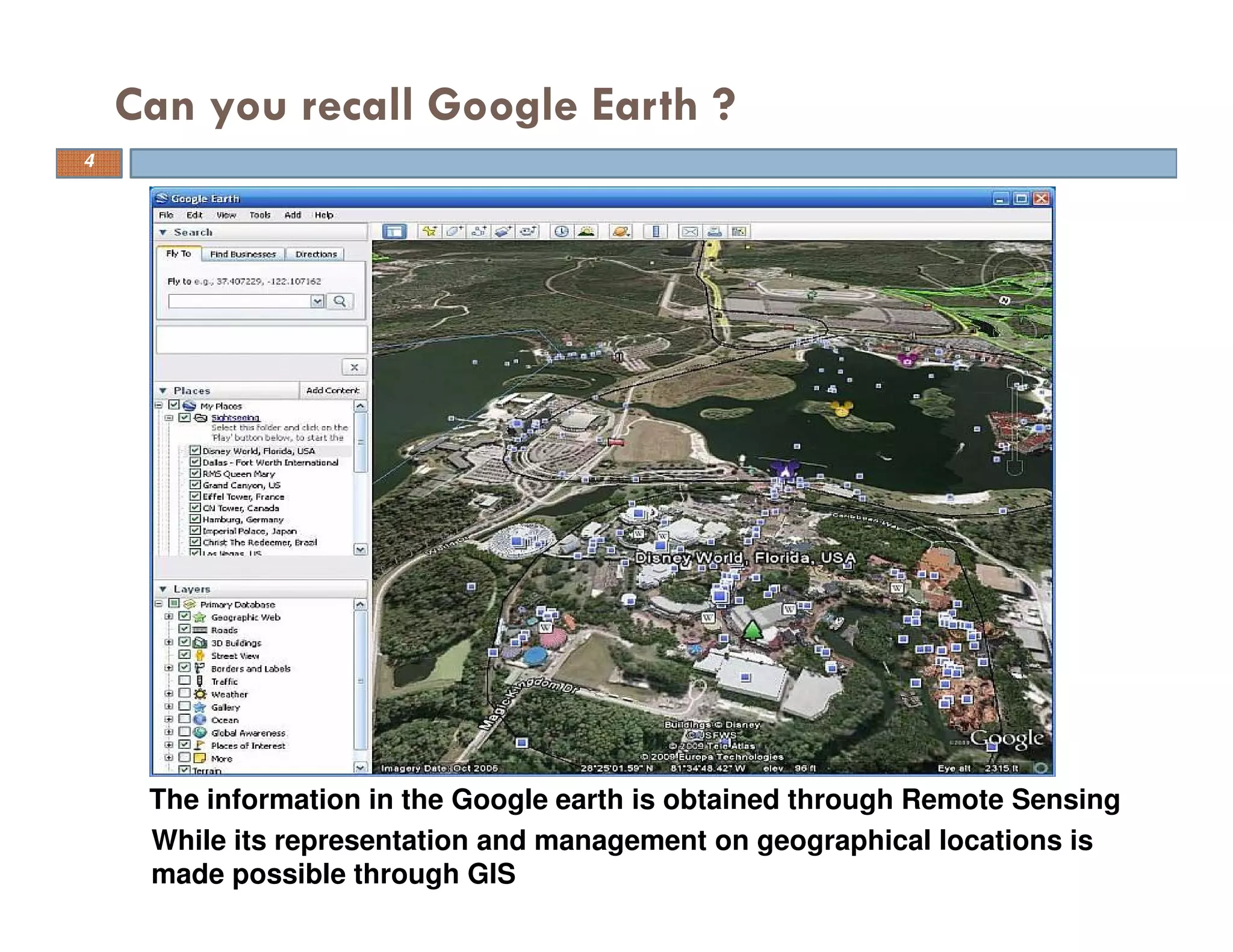
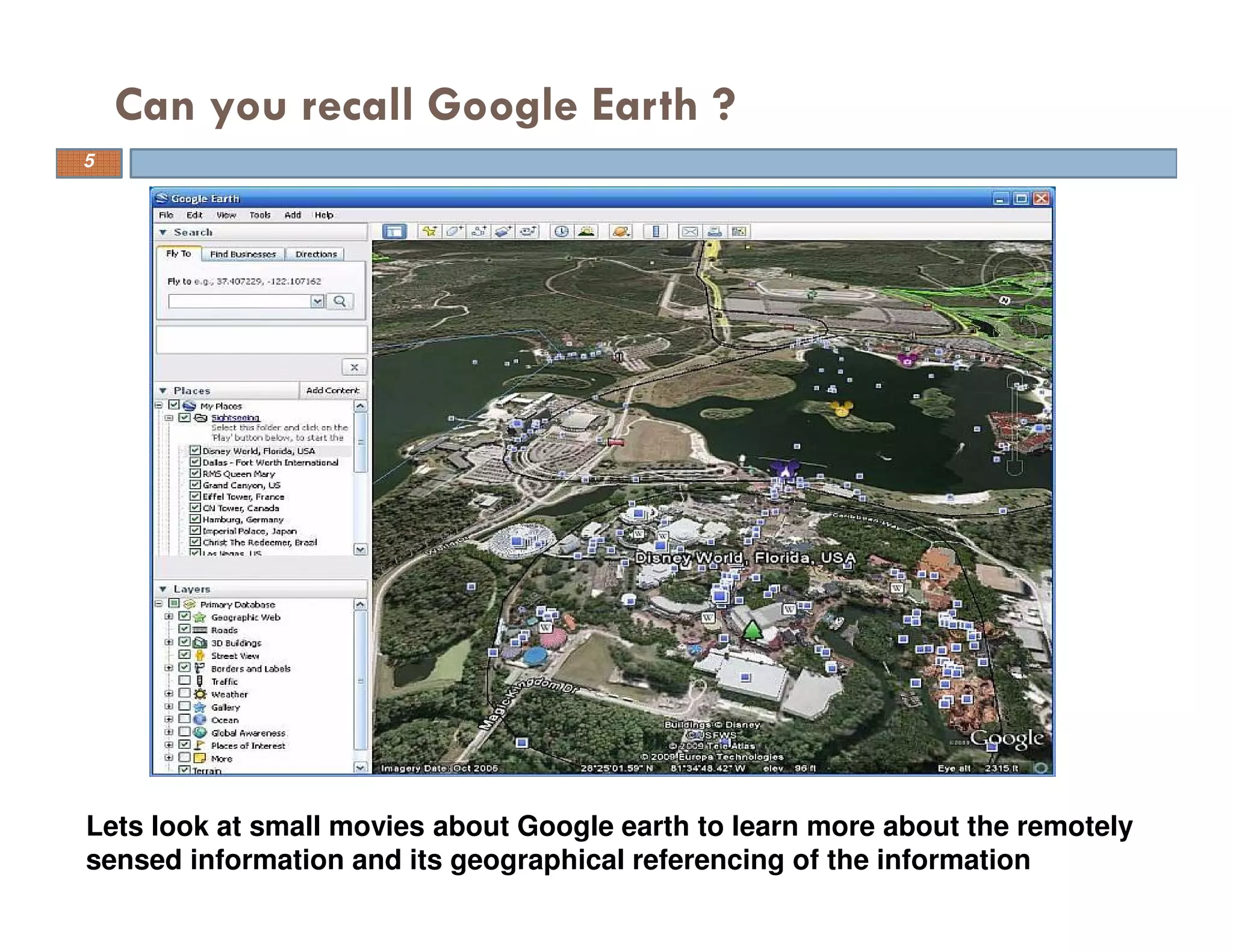
This document provides an overview of a course on applying remote sensing and geographical information systems in civil engineering. The course consists of lectures and seminars covering topics in remote sensing and GIS. For remote sensing, lectures will discuss principles, sensors, data processing, platforms, image processing software, and microwave sensing. For GIS, lectures will cover concepts, data structures, software tools like ArcGIS, spatial queries, and applications in hydrological modeling. The goal of the course is to provide students with an understanding of remote sensing and GIS and their integration, and to learn basic skills in working with related data and software.


![Engineering Economics: Solved exam problems [ch1-ch4]](https://cdn.slidesharecdn.com/ss_thumbnails/solvedexamproblemsch1-ch4-200220070043-thumbnail.jpg?width=640&height=640&fit=bounds)