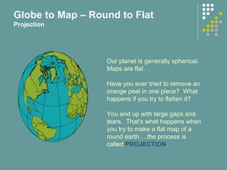
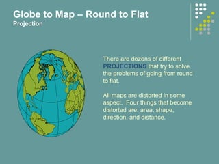
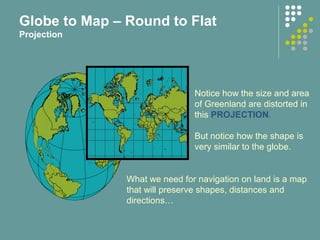
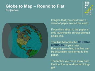
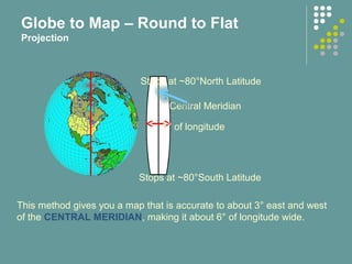
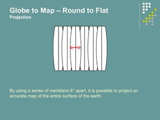
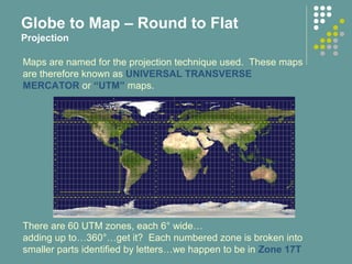
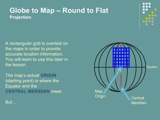
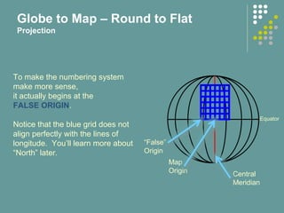
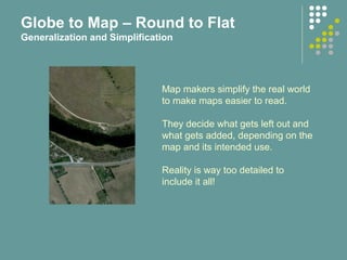
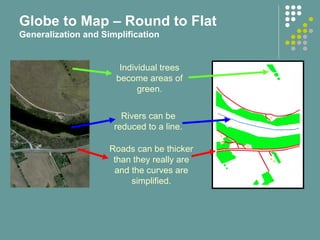
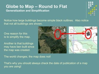
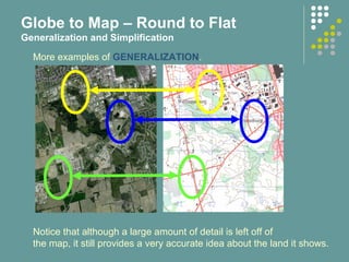
This document provides an introduction to map and compass navigation. It consists of four parts that cover the topics of globe to map projections, topographic maps, the magnetic compass, and navigation. The first part explains how maps are created by projecting the round earth onto a flat surface, which results in distortions of areas, shapes, directions and distances. It also discusses common map projections and techniques to minimize distortions, such as using a series of transverse Mercator projections.