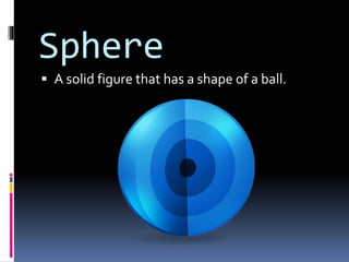
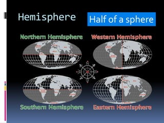
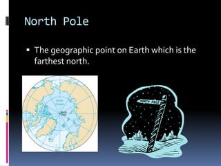
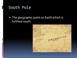
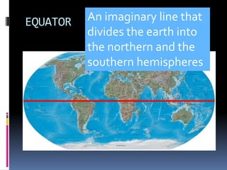
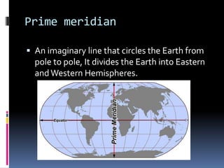
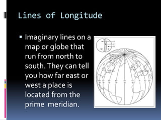
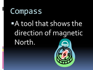
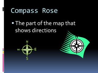
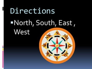
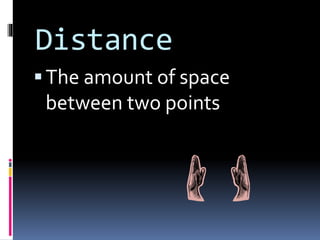
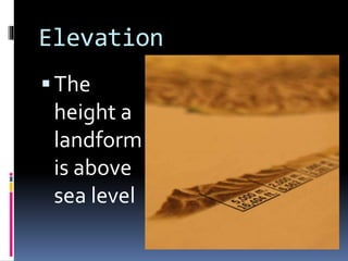
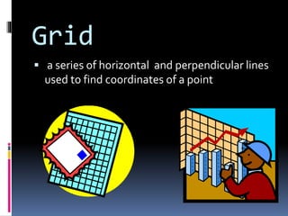
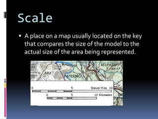
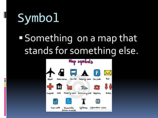
The document defines key map terminology including location, maps, globes, hemispheres, poles, the equator, prime meridian, lines of longitude and latitude, compasses, compass roses, directions, distance, elevation, grids, scales, symbols and sources. Maps are drawings that provide information about features of an area using these geographic representations and conventions.


![Day and night[3342]](https://cdn.slidesharecdn.com/ss_thumbnails/dayandnight3342-170923102823-thumbnail.jpg?width=640&height=640&fit=bounds)


