Downloaded 649 times


The document discusses different types of maps and their uses. It explains that maps are drawings that represent the earth's surface at a reduced scale to fit on a page. While globes are useful for studying the entire earth, maps provide more detailed information about specific regions. There are different types of maps like physical maps, political maps, and thematic maps that focus on natural features, borders, or specific data like transportation or rainfall. Maps allow distances and locations to be accurately measured using scales that relate distances on the map to actual distances on ground. Symbols, directions, and scales are important components of maps that provide detailed information in a clear format.
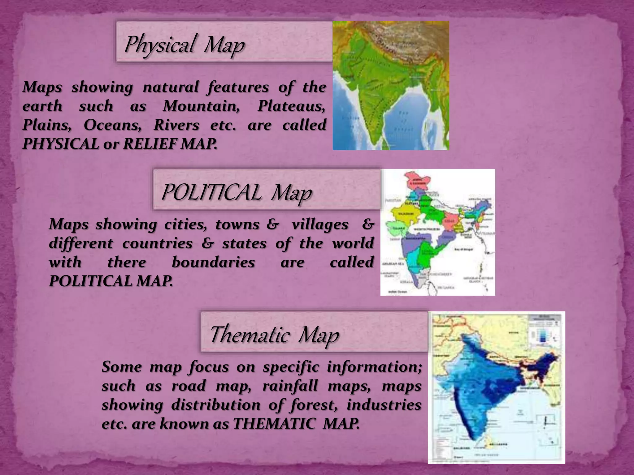
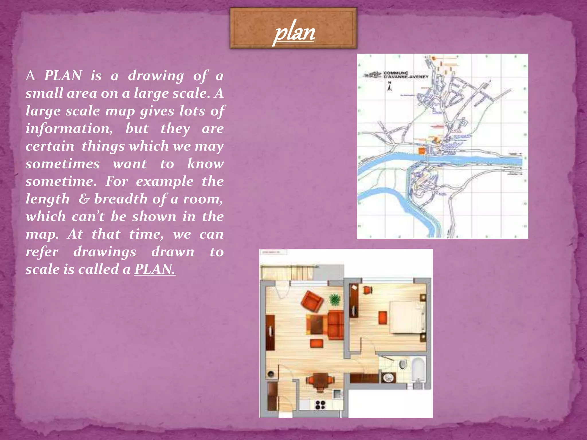
Maps are key for studying Earth's parts. Types include Physical, Political, Thematic Maps, Sketches, and Plans.
Maps reduce distances with scales, allowing for calculations of real distances. Different scales (small & large) are used for different areas.
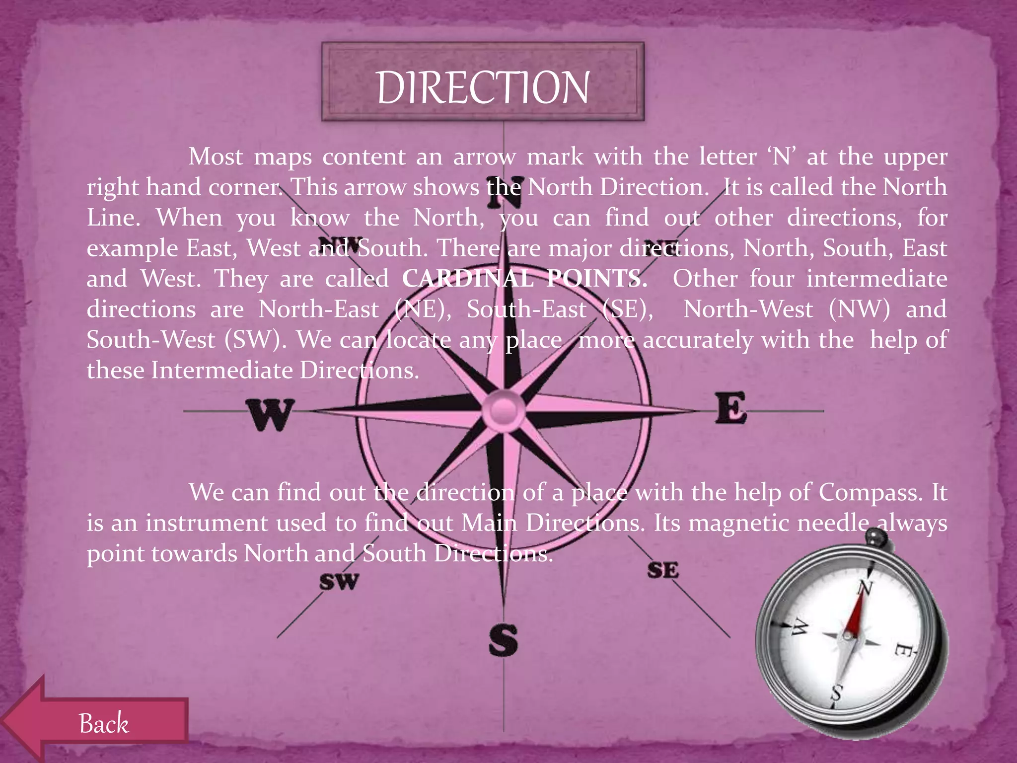
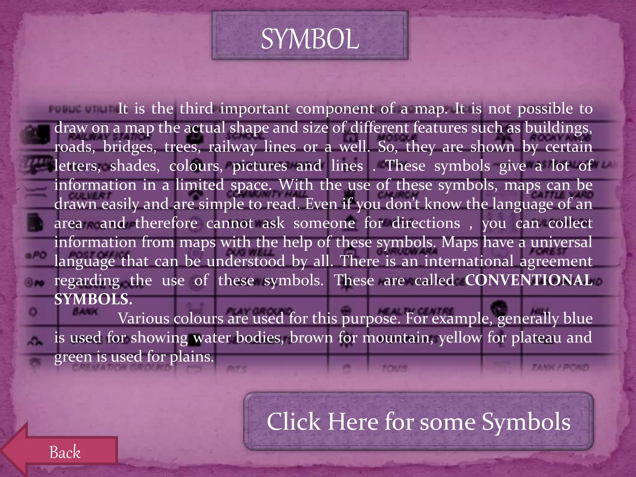
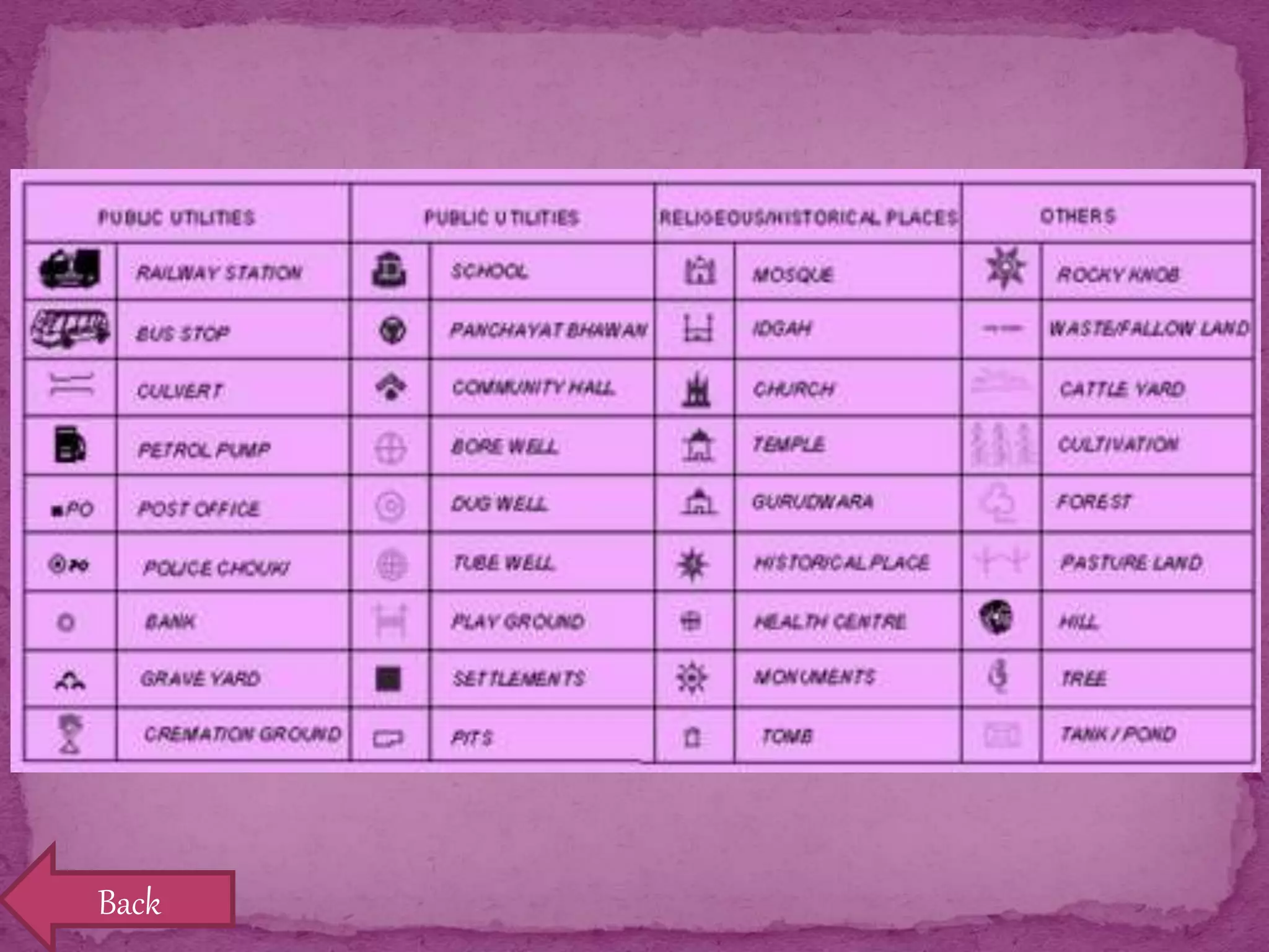
Maps show directions with cardinal points. A compass helps find directions; symbols represent features on maps for easy understanding.


![S.Sc. Project [Class 8] AGRICULTURE](https://cdn.slidesharecdn.com/ss_thumbnails/s-150619094659-lva1-app6891-thumbnail.jpg?width=640&height=640&fit=bounds)


