Downloaded 244 times


![2011 LC Paper (Higher)
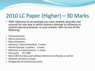
Explain how isostatic changes have impacted on the Irish
landscape, using examples that you have studied [30m]
Impact /Feature identified 2 + 2 marks
Example 2 + 2 marks
Explanation 11 x SRPs
Accept features of emergence only
Accept river features of rejuvenation
Give credit for 1 SRP for a 3rd named feature
All other features must be explained
Give credit for 1 SRP for diagram without annotation
Credit relevant diagrams with extra information](https://image.slidesharecdn.com/fluvialprocesses2-151209220429-lva1-app6891/85/Fluvial-River-Processes-94-320.jpg)


Here are the key points about how isostatic changes have impacted the Irish landscape: - Isostatic changes refer to vertical movements of the Earth's crust due to adjustments in land masses following the melting of ice sheets during glacial periods. - During the last ice age, much of Ireland was depressed under thick ice sheets, weighing the land surface down. As the ice melted about 10,000 years ago, the land began to rise again in a process known as isostatic rebound. - This caused rivers to be elevated above their original base levels. Many rivers underwent rejuvenation as they cut downwards, forming features like waterfalls, incised meanders and terraces along their courses as they


