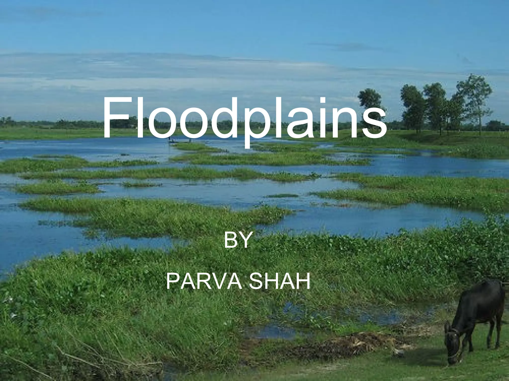
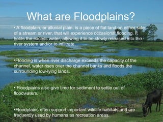
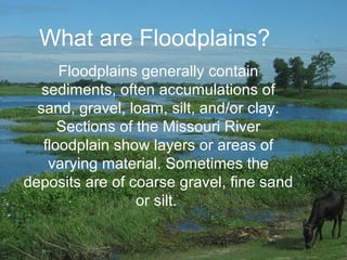
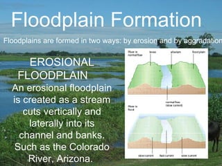
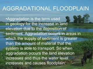
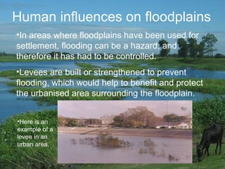
Floodplains are flat areas of land adjacent to rivers that experience occasional flooding when river discharge exceeds channel capacity. Floodplains hold excess water, allowing it to be slowly released and infiltrate while also providing time for sediment to settle. They support important wildlife habitats and are used for agriculture, recreation, and settlement due to fertile soil and access to transportation, though flooding must be controlled in urban areas through measures like levees. Floodplains form through erosion as rivers cut into channels and banks or through aggradation when sediment supply exceeds transport capacity, raising land elevation and water levels.