Downloaded 117 times
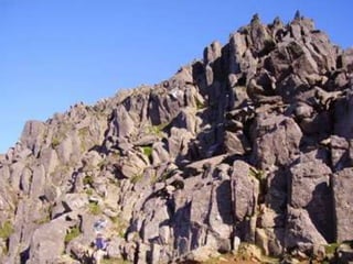
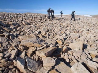
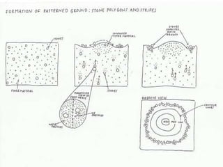
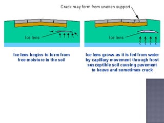
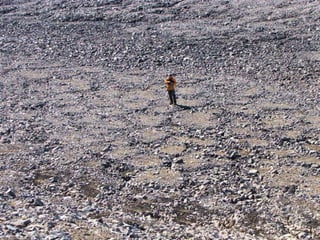
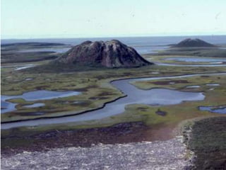

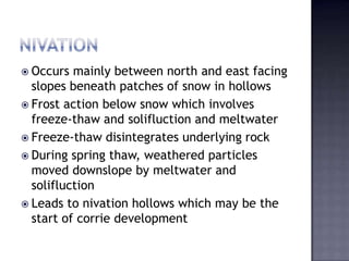
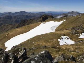
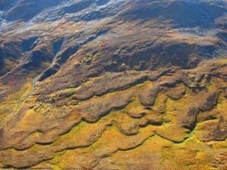
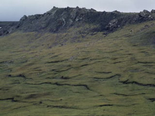
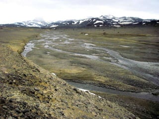

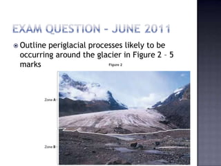

Here are the key periglacial processes likely occurring around the glacier shown in Figure 2: - Frost shattering of rock producing scree slopes at the base of valley sides due to repeated freezing and thawing. - Solifluction occurring on valley sides within the active layer, transporting fine material downslope and leaving lobes and terraces. - Nivation occurring in hollows beneath snowpatches on north-facing slopes, deepening the hollows through frost action and meltwater erosion. - Patterned ground such as stone stripes forming in better drained areas subjected to freeze-thaw cycles. - Fluvial erosion by meltwater streams flowing from the glacier, causing erosion and leaving braided


