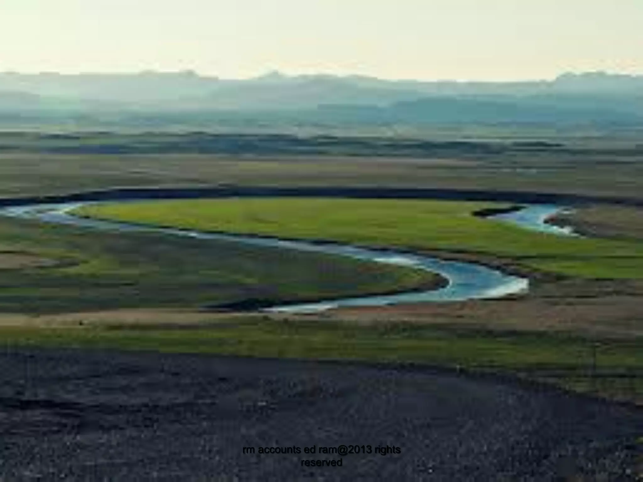
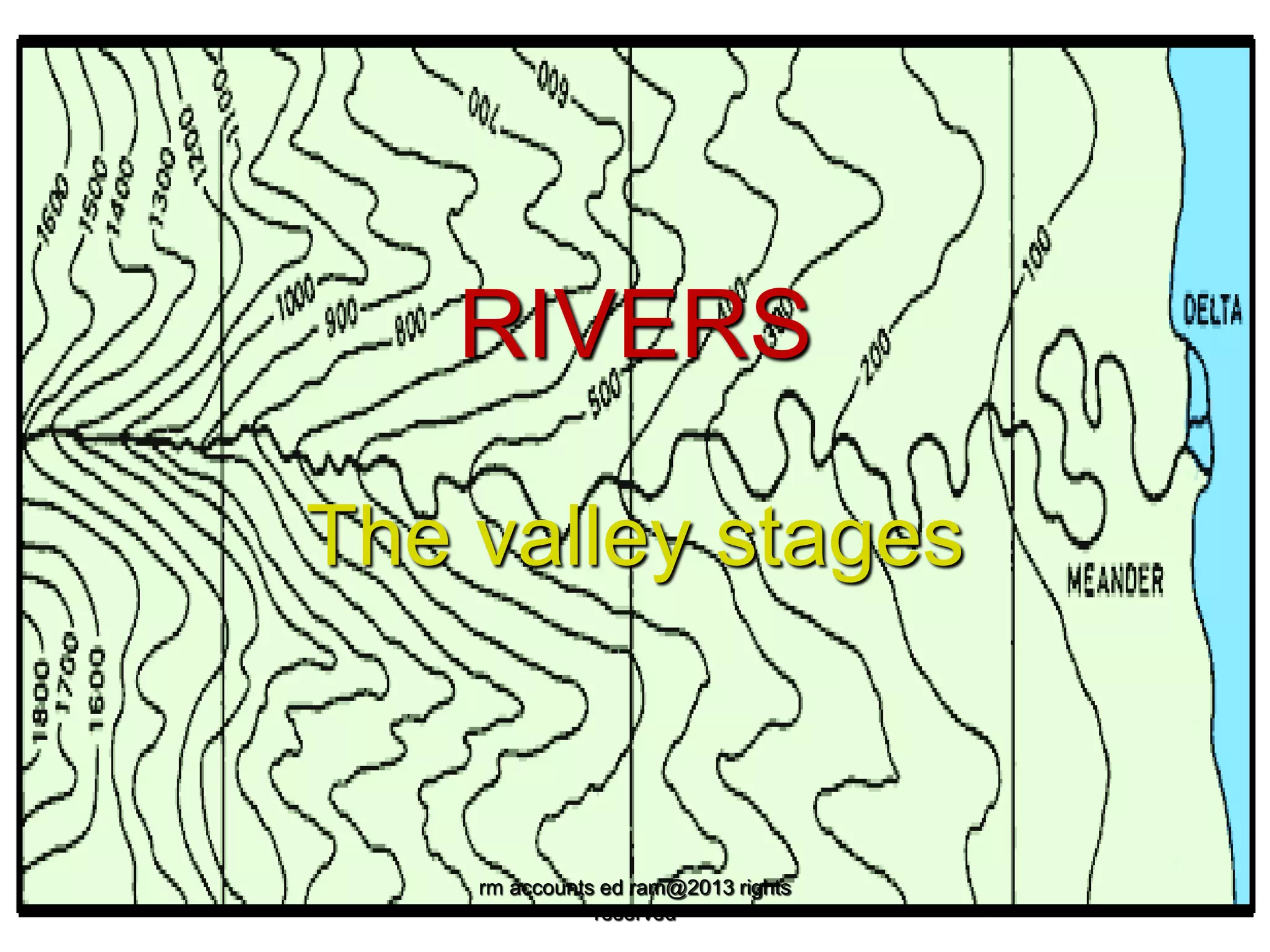
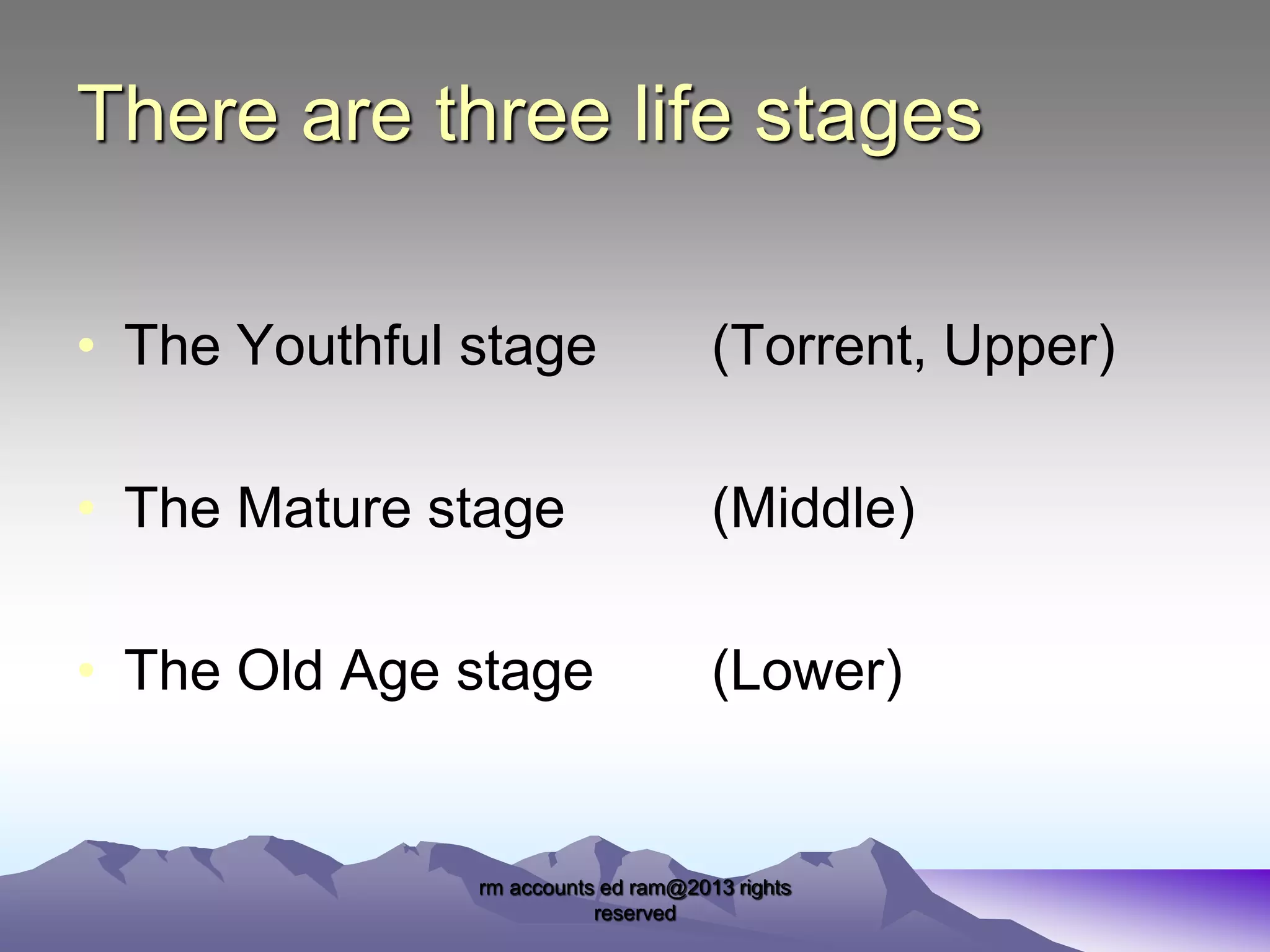
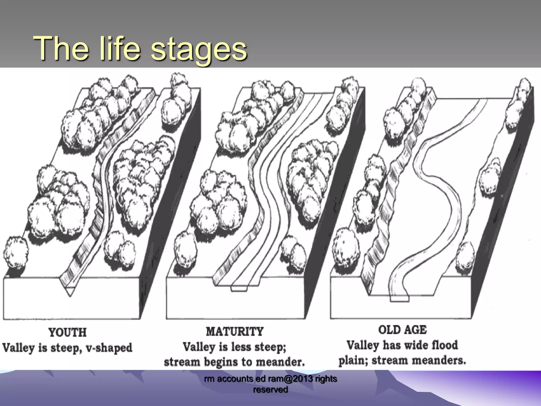
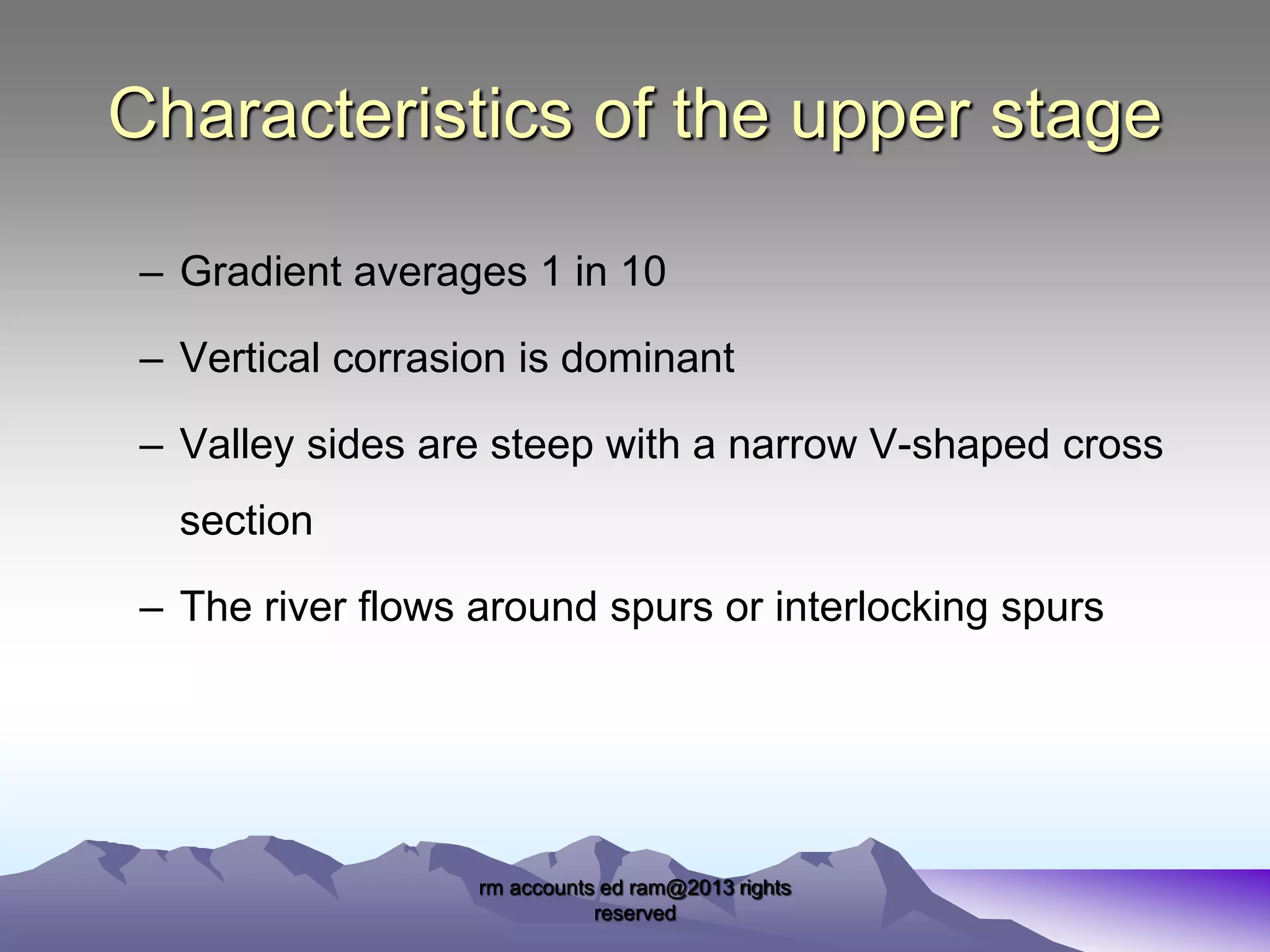
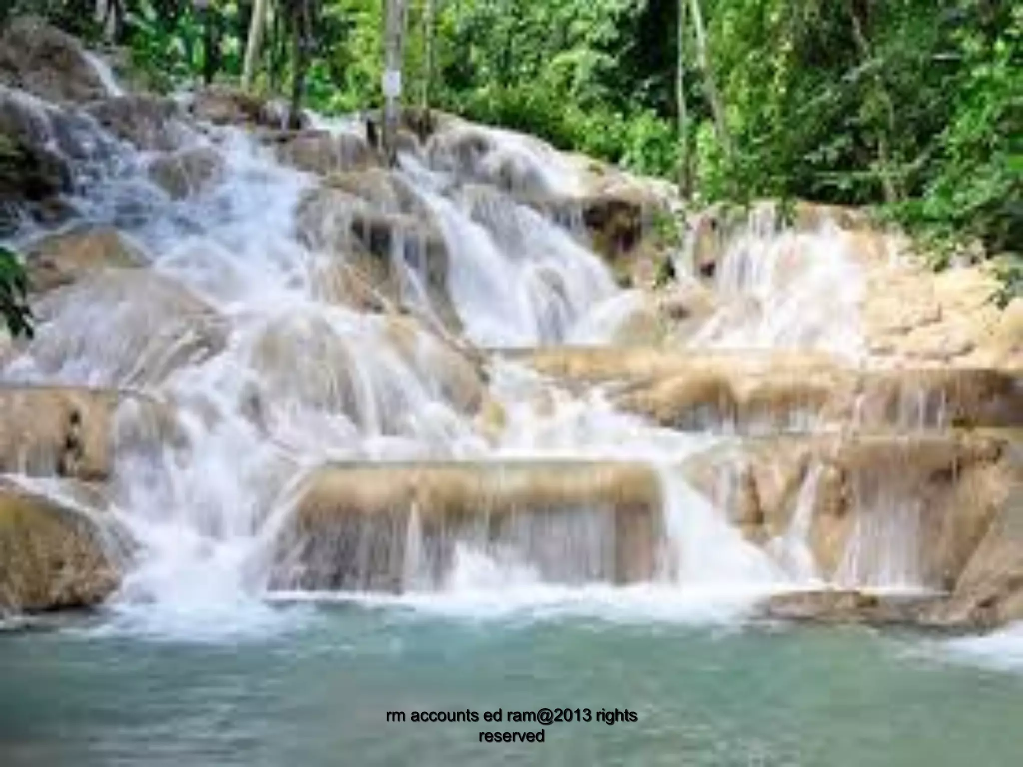
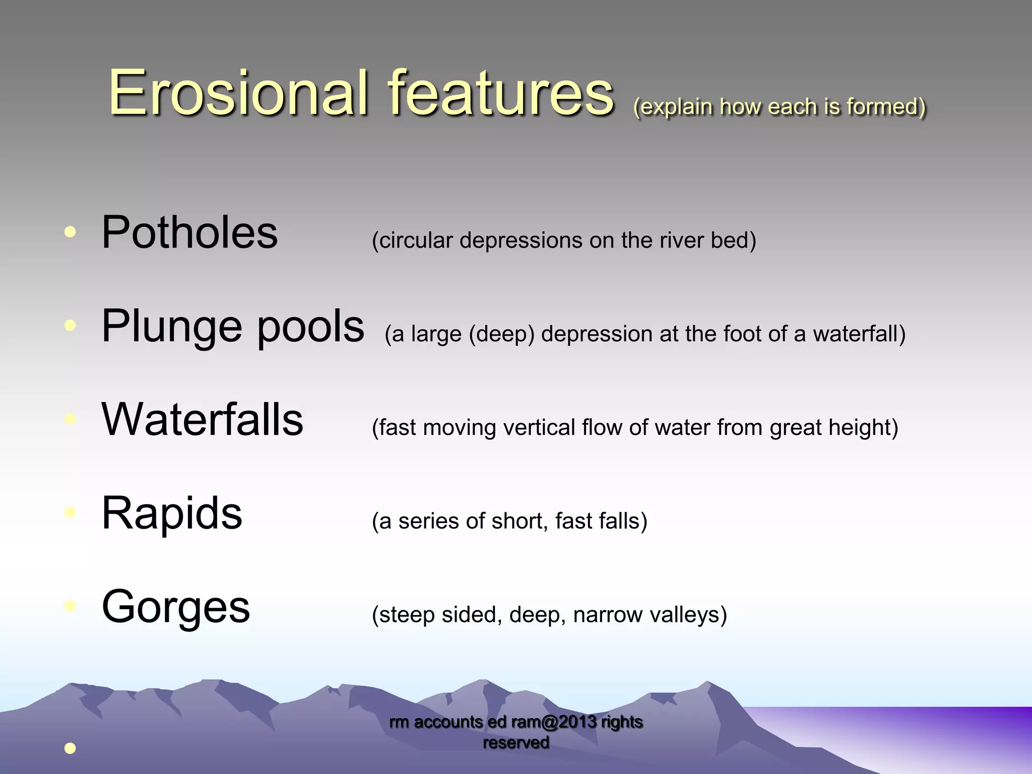
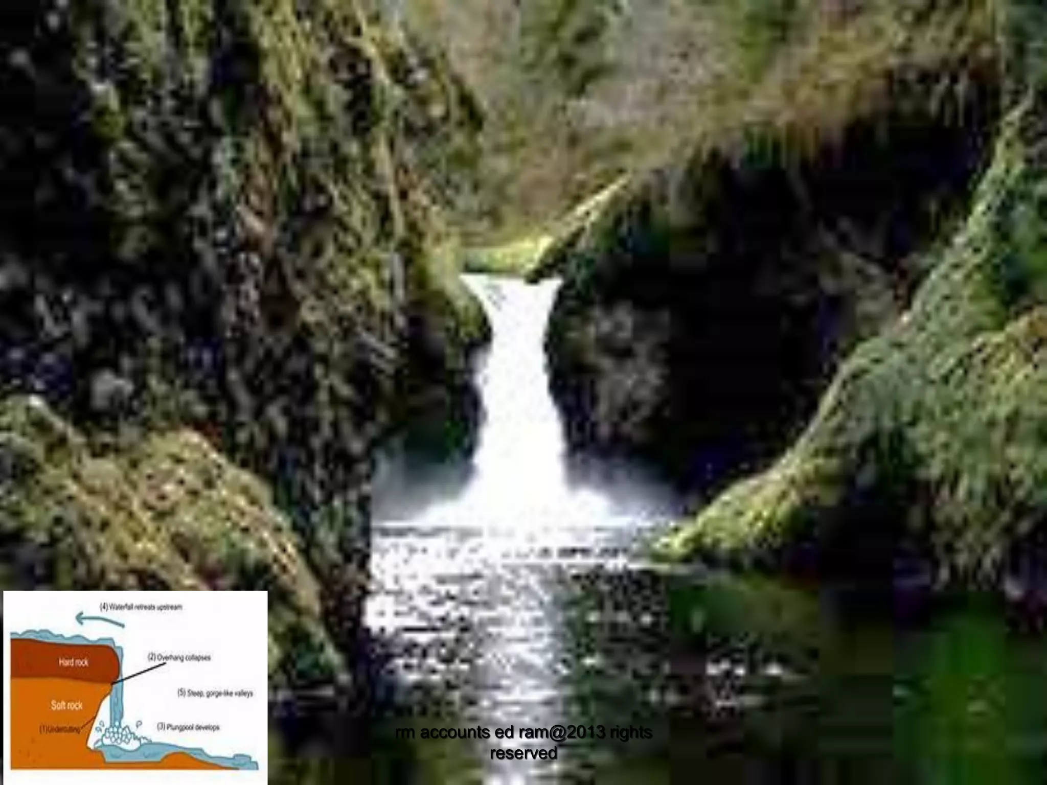
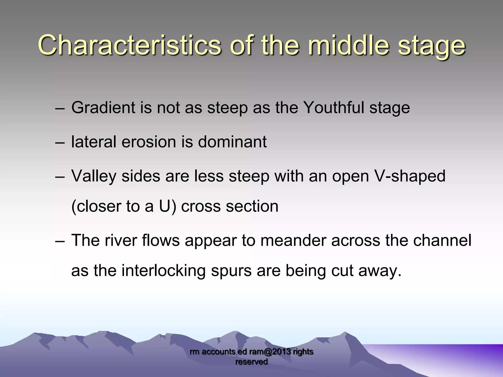
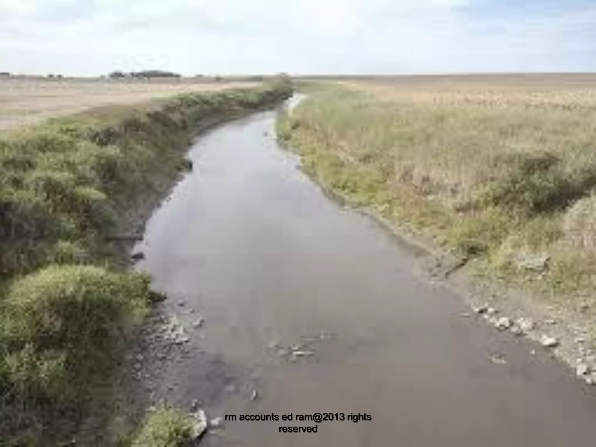
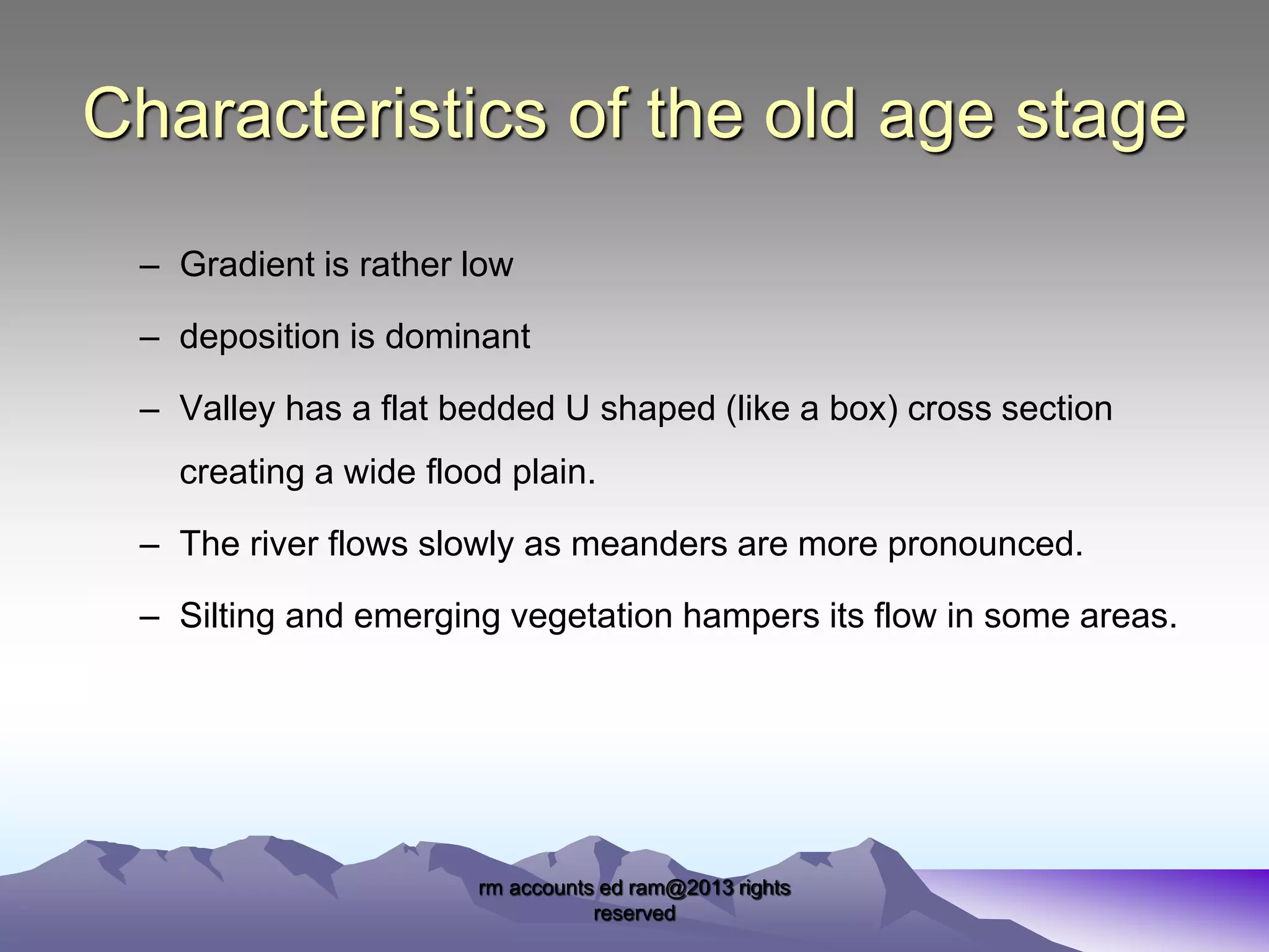
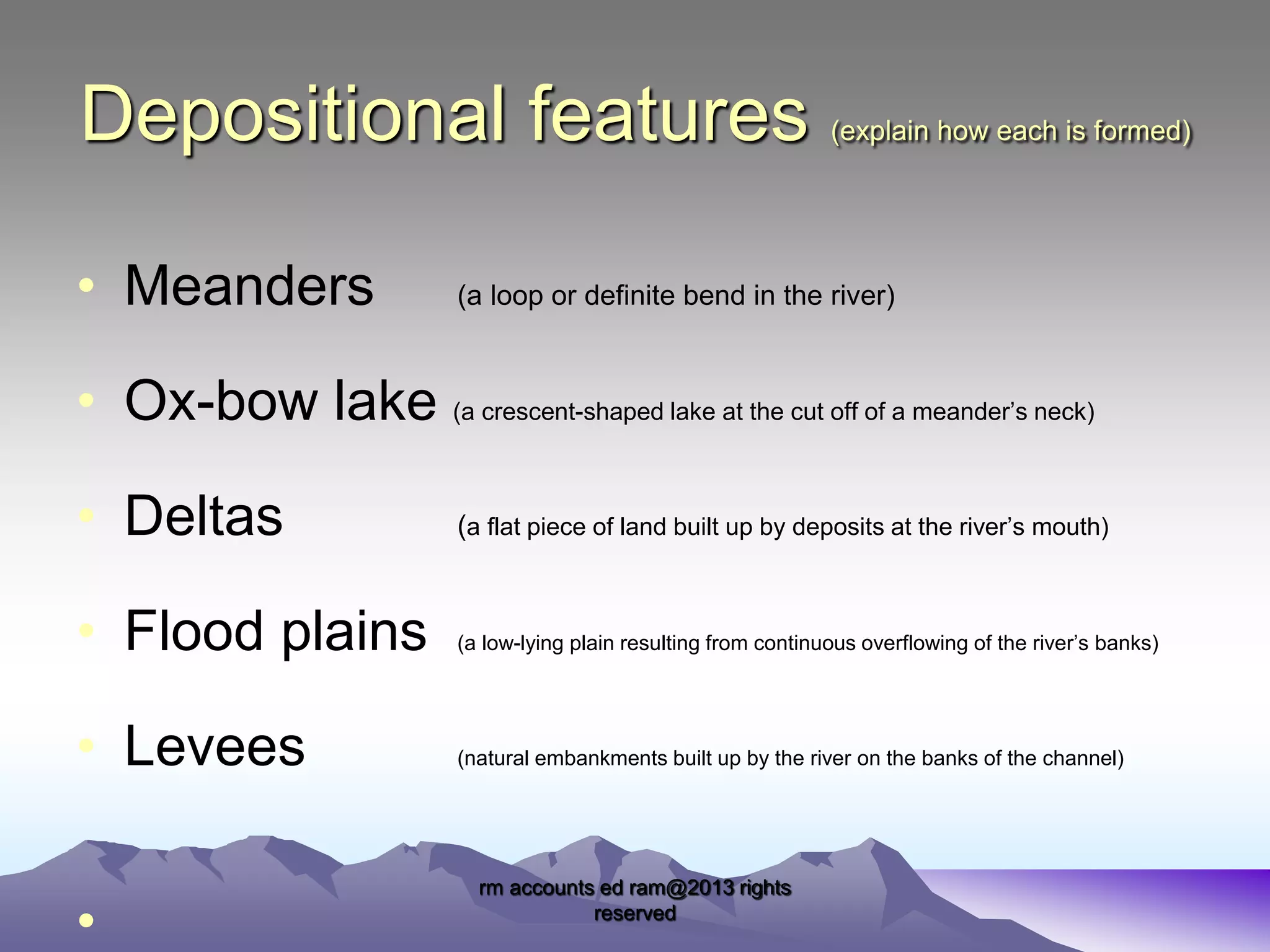
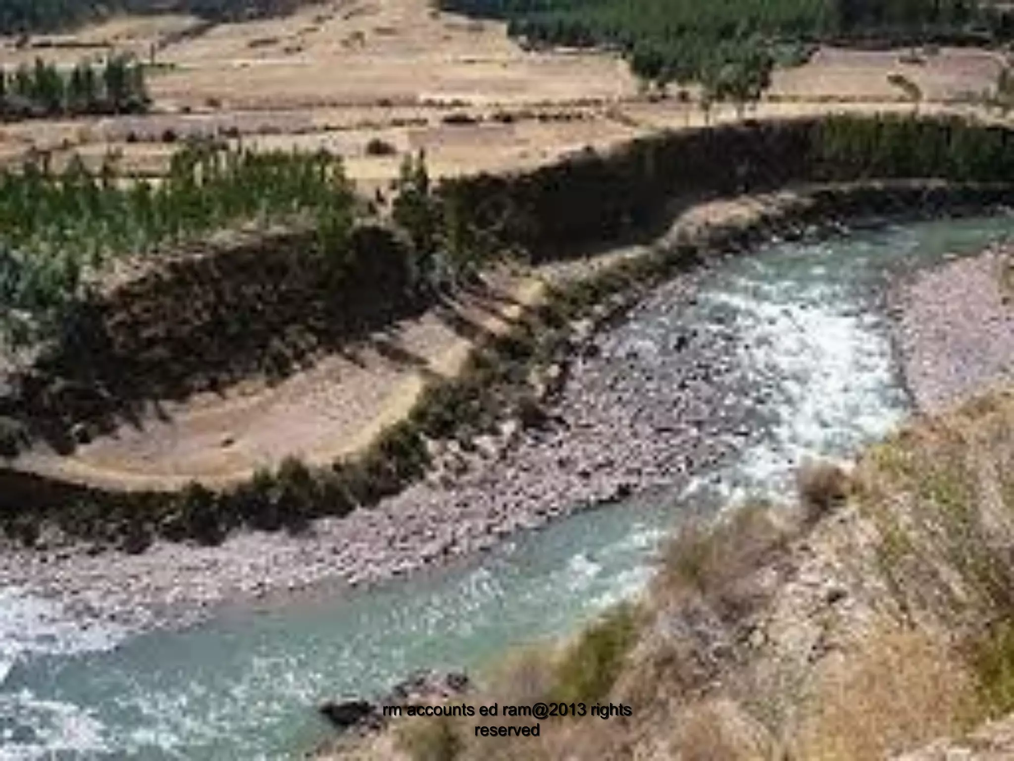
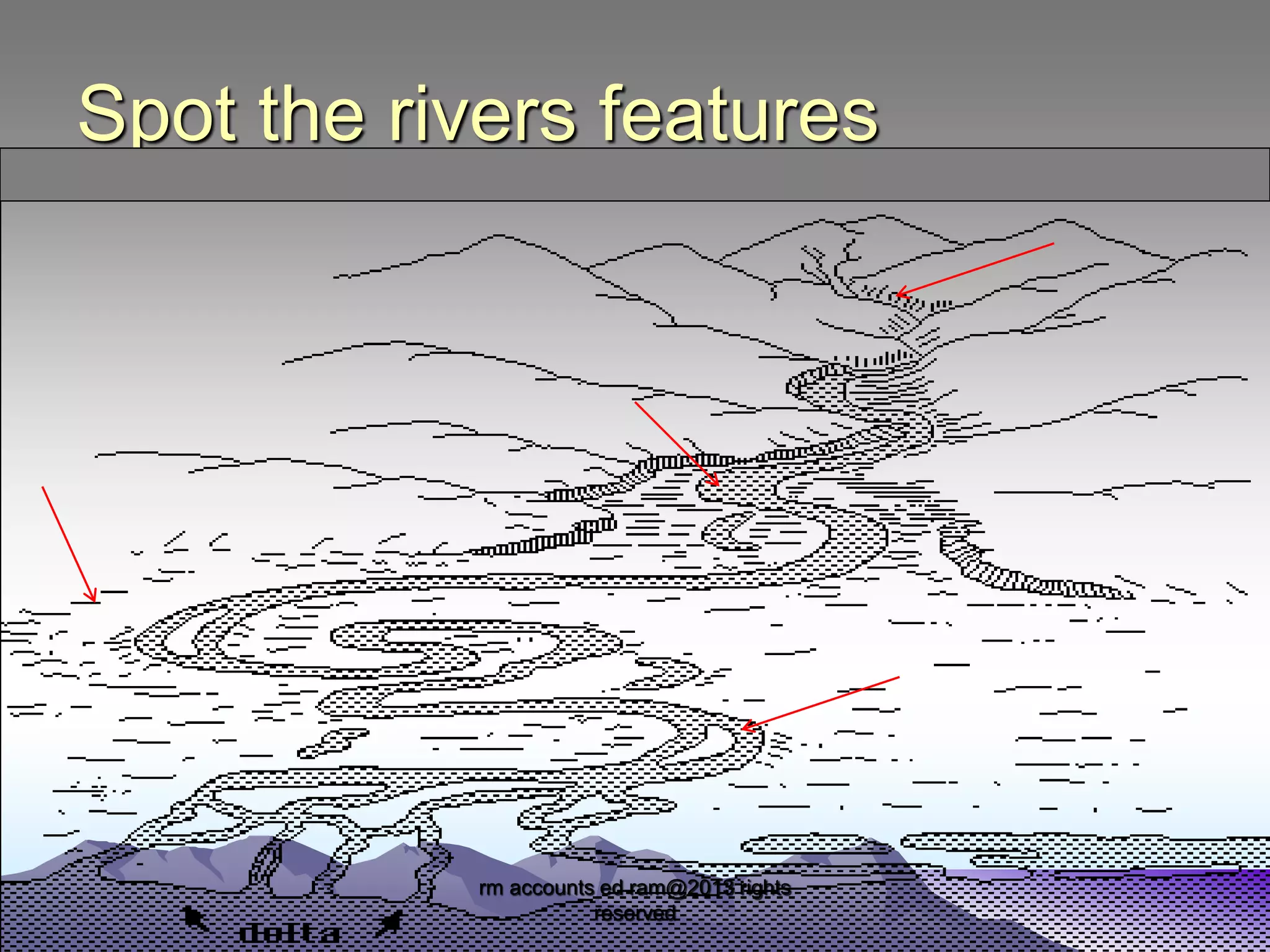
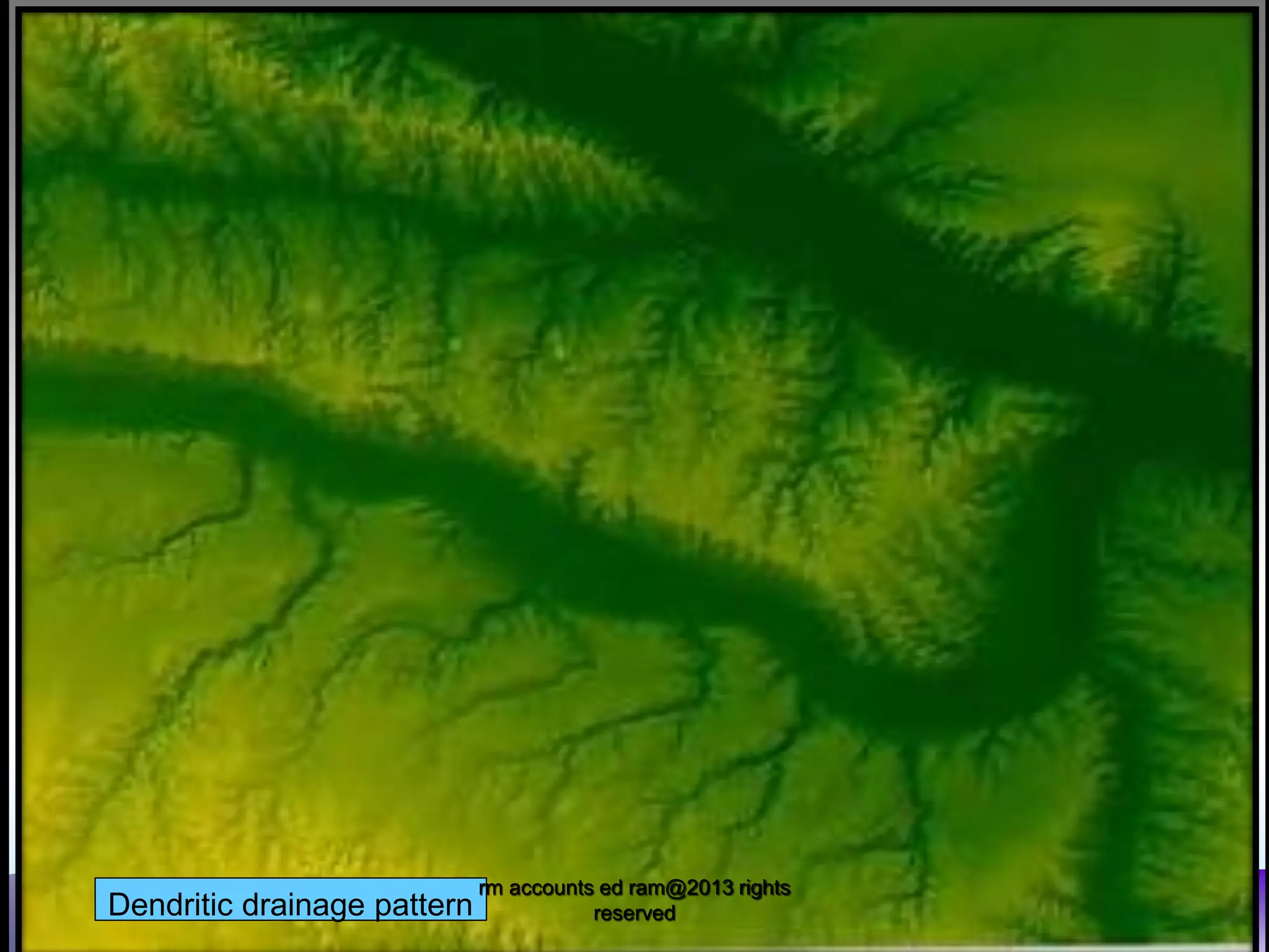
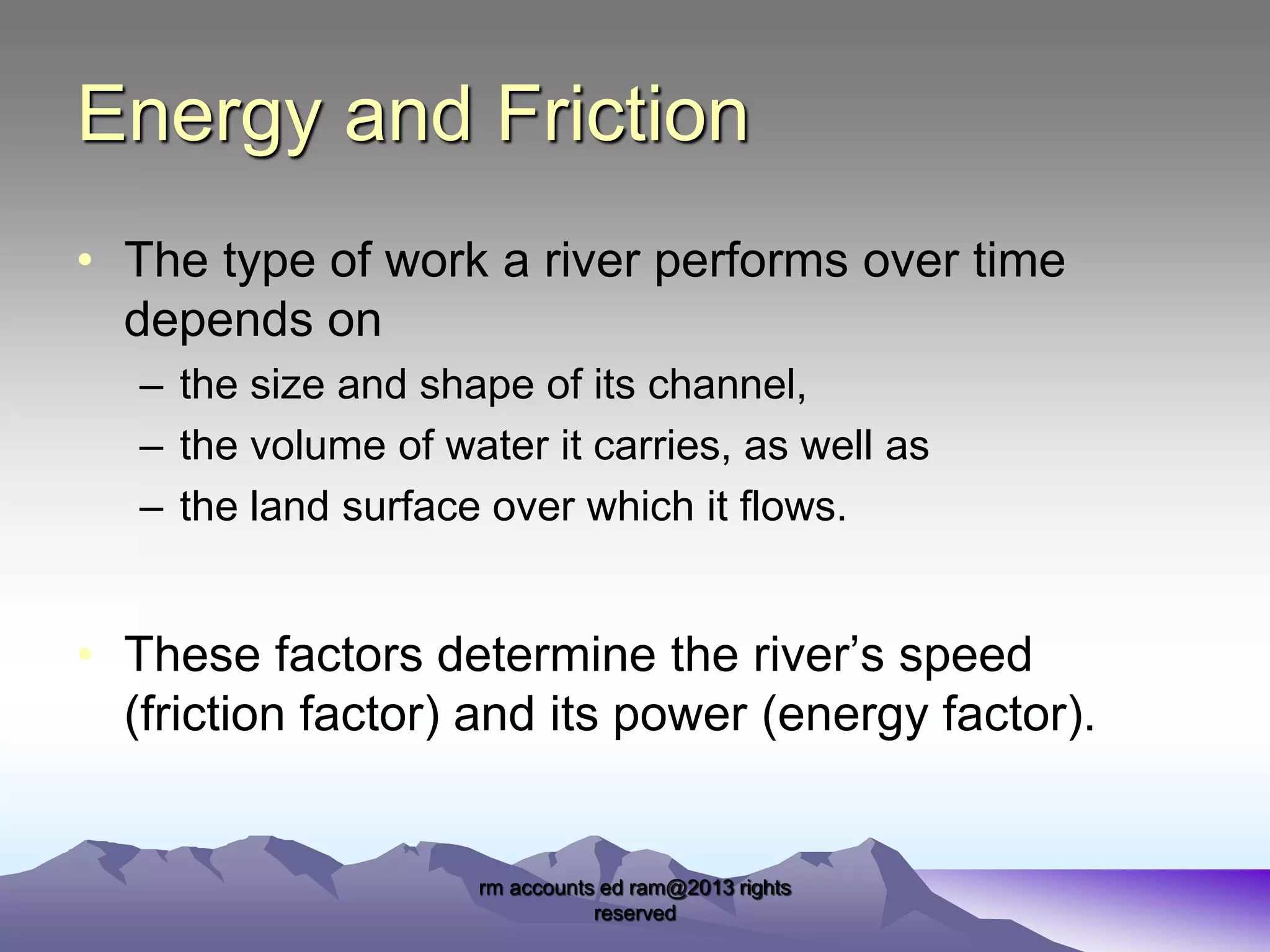
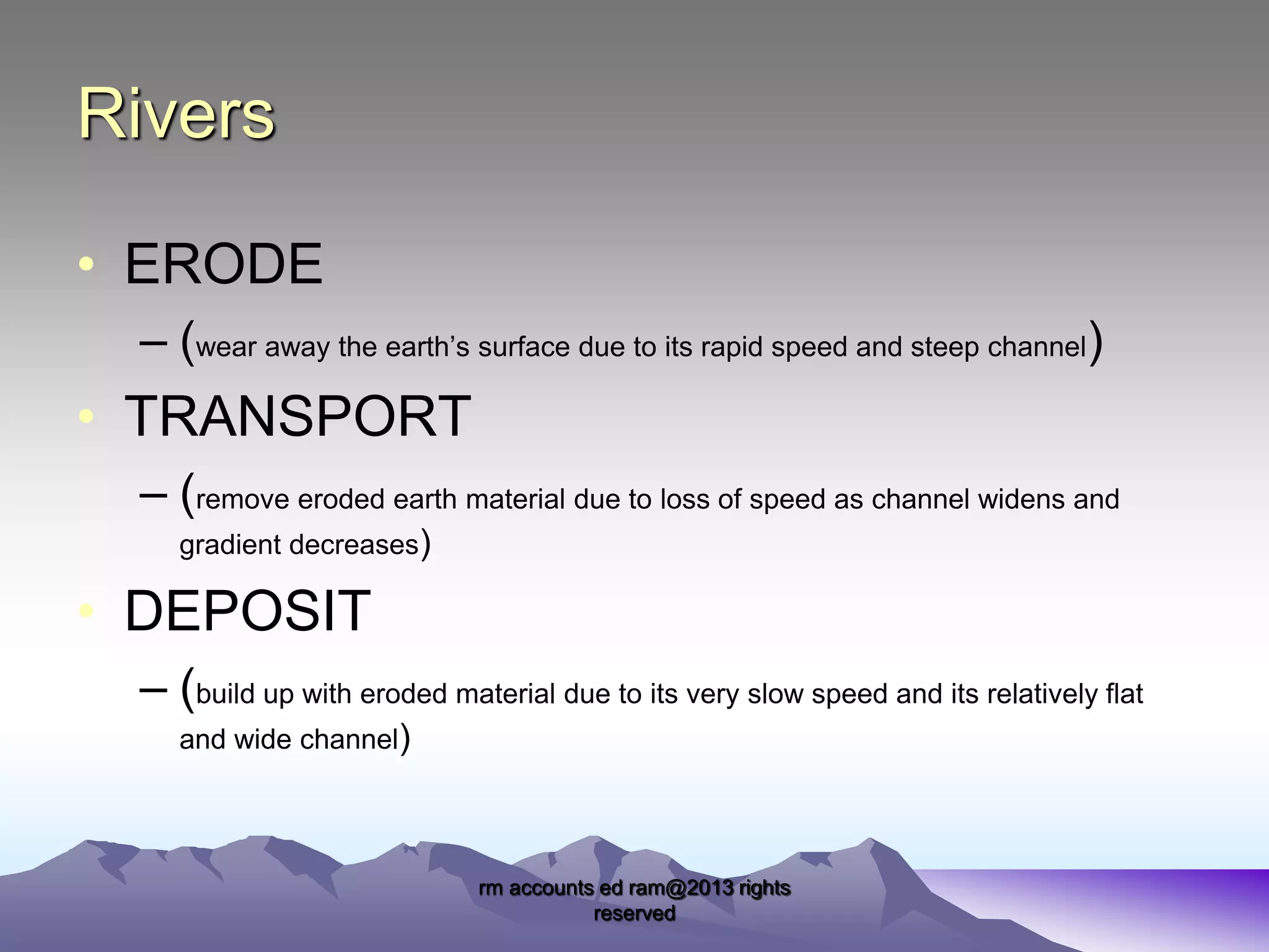
Rivers have distinct features that change as they age. Young rivers in their upper stages have steep valleys and erode features like waterfalls through processes like abrasion. Mature rivers in their middle stages have less steep valleys and erode laterally. Old rivers in their lower stages have flatter valleys and deposit features like meanders and floodplains due to lower gradients. Rivers erode, transport, and deposit materials based on their volume and channel characteristics.
This document covers rivers from the CSEC Geography syllabus. It covers the water cycle, drainage basin, drainage density, drainage patterns, river processes, characteristics of rivers and river landforms
This document looks at volcanoes in detail. It starts with the definition of volcanoes and the labeling of the different parts of a volcano. Then it looks at the different extrusive and intrusive volcanic features. It also looks at the positive and negative effects of volcanic activity
Human Geography- Economic activities in the CaribbeanOral Johnson
This document reviews the economic activities in the Caribbean which latter part of the human geography for CSEC Geography. It includes fishing, bauxite, food processing, agriculture and tourism. The impact of these activities on the environment coupled with the sustainable practices which can reduce the said impact on the environment completes the document.
CSEC Human Geography- Population , Urbanization and MigrationOral Johnson
This document entails the first half of the human geography syllabus for CSEC ( excluding economic activities. It looks at population, urbanization and Migration
CSEC Geography- Vegetation and Soils. This document defines an ecosystem and describes the major components of an ecosystem. It also looks on the two major biomes, tropical rainforest and tropical marine.
CSEC Geography- Internal Forces - Plate Tectonics and EarthquakesOral Johnson
This document looks at the Earth's internal forces. The main layers of the earth are described. The history surrounding plate tectonics is discussed. The different types of plate boundaries is also explained.
This document looks at the factors that affect weather and climate. The weather systems that also affect the Caribbean is also examined. These include ITCZ, Hurricanes, Cold Fronts, Easterly waves, Anticyclones
This is the entire CSEC geography syllabus (some things might be missing). The information was collected from various websites and textbooks. The topics are:
- Internal forces
-External forces
-Rivers
-Limestone
-Coasts
-Coral reefs and Mangroves
-Weather and Climate
- Ecosystems (vegetation and soils)
-Natural hazards
- Urbanization
-Economic activity
-Environmental degradation
The purpose of this presentation is to aid students' understanding of the region. The Caribbean is unique in that no single definition can be used to state what the region is. The presentation looks at its geological, geographical, historical and political definitions.
CAPE UNIT 1 (ONE) GEOGRAPHY- POPULATION NOTES/SLIDESOral Johnson
This is the population aspect of the CAPE geography unit one syllabus. Its not the entire notes in an expansive format but i think it sums it up nicely. The topics are:
Population distribution
Population change- natural
Population change-migration
Population Structure
Population and Resources
This document looks at natural hazards in the Caribbean. Various natural hazards affect the Caribbean but the ones that will be focused on will be: earthquake, volcanoes and hurricanes.
caribbean studies material ... questions along with the answers
hope it comes in handle for persons who are doing the subject make good use of it
*i am not the owner of the material*
An investigation into the behavioural pattern and academic performance of students within single parent families. The paper assess the causes of behaviour and academic performance and provides reasoning as to why this is so.
Francesca Gottschalk - How can education support child empowerment.pptxEduSkills OECD
Francesca Gottschalk from the OECD’s Centre for Educational Research and Innovation presents at the Ask an Expert Webinar: How can education support child empowerment?
Executive Directors Chat Leveraging AI for Diversity, Equity, and InclusionTechSoup
Let’s explore the intersection of technology and equity in the final session of our DEI series. Discover how AI tools, like ChatGPT, can be used to support and enhance your nonprofit's DEI initiatives. Participants will gain insights into practical AI applications and get tips for leveraging technology to advance their DEI goals.
Unit 8 - Information and Communication Technology (Paper I).pdfThiyagu K
This slides describes the basic concepts of ICT, basics of Email, Emerging Technology and Digital Initiatives in Education. This presentations aligns with the UGC Paper I syllabus.
Introduction to AI for Nonprofits with Tapp NetworkTechSoup
Dive into the world of AI! Experts Jon Hill and Tareq Monaur will guide you through AI's role in enhancing nonprofit websites and basic marketing strategies, making it easy to understand and apply.
Acetabularia Information For Class 9 .docxvaibhavrinwa19
Acetabularia acetabulum is a single-celled green alga that in its vegetative state is morphologically differentiated into a basal rhizoid and an axially elongated stalk, which bears whorls of branching hairs. The single diploid nucleus resides in the rhizoid.
Exploiting Artificial Intelligence for Empowering Researchers and Faculty, In...Dr. Vinod Kumar Kanvaria
Exploiting Artificial Intelligence for Empowering Researchers and Faculty,
International FDP on Fundamentals of Research in Social Sciences
at Integral University, Lucknow, 06.06.2024
By Dr. Vinod Kumar Kanvaria
Synthetic Fiber Construction in lab .pptxPavel ( NSTU)
Synthetic fiber production is a fascinating and complex field that blends chemistry, engineering, and environmental science. By understanding these aspects, students can gain a comprehensive view of synthetic fiber production, its impact on society and the environment, and the potential for future innovations. Synthetic fibers play a crucial role in modern society, impacting various aspects of daily life, industry, and the environment. ynthetic fibers are integral to modern life, offering a range of benefits from cost-effectiveness and versatility to innovative applications and performance characteristics. While they pose environmental challenges, ongoing research and development aim to create more sustainable and eco-friendly alternatives. Understanding the importance of synthetic fibers helps in appreciating their role in the economy, industry, and daily life, while also emphasizing the need for sustainable practices and innovation.
Macroeconomics- Movie Location
This will be used as part of your Personal Professional Portfolio once graded.
Objective:
Prepare a presentation or a paper using research, basic comparative analysis, data organization and application of economic information. You will make an informed assessment of an economic climate outside of the United States to accomplish an entertainment industry objective.
Operation “Blue Star” is the only event in the history of Independent India where the state went into war with its own people. Even after about 40 years it is not clear if it was culmination of states anger over people of the region, a political game of power or start of dictatorial chapter in the democratic setup.
The people of Punjab felt alienated from main stream due to denial of their just demands during a long democratic struggle since independence. As it happen all over the word, it led to militant struggle with great loss of lives of military, police and civilian personnel. Killing of Indira Gandhi and massacre of innocent Sikhs in Delhi and other India cities was also associated with this movement.
2. Rivers
• Definition
– The natural flow of water from areas of
highland towards low-lying areas a long a
definite course (water course); and emptying itself
in
–
–
–
–
–
The Sea
Another river (tributary)
A Lake
A Swamp
A Swallow Hole (reemerge as springs)
rm accounts ed ram@2013 rights
reserved
3. Some of the main features
Source
– The start of a river’s course
Mouth
– The point where a river flows into the sea
Channel
- the area along which the river flows
• Tributary
– a small river which flow into a larger one
• Confluence – the point where a tributary joins the main river
• Meander
- a bend in the river
rm accounts ed ram@2013 rights
reserved
4. Stream Ordering
Streams are ordered from the number 1
onward i.e. there are:
– 1st order streams (the main river)
– 2nd order streams (a tributary which feeds the main river)
– 3rd order streams (a tributary which feeds another tributary
which in turn feeds the main river)
rm accounts ed ram@2013 rights
reserved
6. The drainage pattern is
• the pattern created by a river and its tributaries
as seen from above.
• the pattern is based on a number of factors:
– The type and structure of the underlying rock
– The shape of the land mass
– The topography (layout of the land)
rm accounts ed ram@2013 rights
reserved
7. Types of drainage patterns
• There are three types of drainage patterns :
– Radial
• (like the spokes of a bicycle wheel)
– Trellised
• (like the rectangular pattern created in block work)
– Dendritic
• (like the veins of a leaf)
rm accounts ed ram@2013 rights
reserved
9. Energy and Friction
• The type of work a river performs over time
depends on
– the size and shape of its channel,
– the volume of water it carries, as well as
– the land surface over which it flows.
• These factors determine the river’s speed
(friction factor) and its power (energy factor).
rm accounts ed ram@2013 rights
reserved
10. Rivers
• ERODE
– (wear away the earth’s surface due to its rapid speed and steep channel)
• TRANSPORT
– (remove eroded earth material due to loss of speed as channel widens and
gradient decreases)
• DEPOSIT
– (build up with eroded material due to its very slow speed and its relatively flat
and wide channel)
rm accounts ed ram@2013 rights
reserved
11. River Erosion involves…
• Corrosion
(the water dissolves and removes soluble material in its path)
• Abrasion
(the water scours the bed and sides of its channel with its load)
• Corrasion
(
[see abrasion] the water uses the load to mechanically gouge of areas of the channel
• Hydraulic Action (the force of the water dislodges material from the channel)
• Attrition
(the material in load bumps into each other an disintegrate)
rm accounts ed ram@2013 rights
reserved
)
12. River Transportation involves…
• Suspension (the lightest materials float along in the water’s currents)
• Traction
(
the heaviest materials bounce or roll along by the force of the water
• Saltation
(
some of the material hops and floats as the water moves downward
• Solution
(the dissolved minerals are carried along in the water itself)
rm accounts ed ram@2013 rights
reserved
)
)
13. Deposition is a result of…
• Rivers drop off their load when
– Gradient or slope of the river bed decreases
– The channel widens or becomes shallow
– It enters an arid region and loses discharge and
volume
– It reaches a lake or sea, slowing it down
rm accounts ed ram@2013 rights
reserved
16. There are three life stages
• The Youthful stage
(Torrent, Upper)
• The Mature stage
(Middle)
• The Old Age stage
(Lower)
rm accounts ed ram@2013 rights
reserved
18. Characteristics of the upper stage
– Gradient averages 1 in 10
– Vertical corrasion is dominant
– Valley sides are steep with a narrow V-shaped cross
section
– The river flows around spurs or interlocking spurs
rm accounts ed ram@2013 rights
reserved
20. Erosional features
• Potholes
• Plunge pools
(explain how each is formed)
(circular depressions on the river bed)
(a large (deep) depression at the foot of a waterfall)
• Waterfalls
(fast moving vertical flow of water from great height)
• Rapids
(a series of short, fast falls)
• Gorges
(steep sided, deep, narrow valleys)
•
rm accounts ed ram@2013 rights
reserved
22. Characteristics of the middle stage
– Gradient is not as steep as the Youthful stage
– lateral erosion is dominant
– Valley sides are less steep with an open V-shaped
(closer to a U) cross section
– The river flows appear to meander across the channel
as the interlocking spurs are being cut away.
rm accounts ed ram@2013 rights
reserved
24. Characteristics of the old age stage
– Gradient is rather low
– deposition is dominant
– Valley has a flat bedded U shaped (like a box) cross section
creating a wide flood plain.
– The river flows slowly as meanders are more pronounced.
– Silting and emerging vegetation hampers its flow in some areas.
rm accounts ed ram@2013 rights
reserved
26. Depositional features
• Meanders
(explain how each is formed)
(a loop or definite bend in the river)
• Ox-bow lake (a crescent-shaped lake at the cut off of a meander’s neck)
• Deltas
(a flat piece of land built up by deposits at the river’s mouth)
• Flood plains
(a low-lying plain resulting from continuous overflowing of the river’s banks)
• Levees
(natural embankments built up by the river on the banks of the channel)
•
rm accounts ed ram@2013 rights
reserved