Download as PDF, PPTX


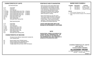


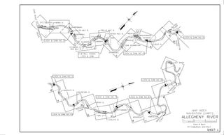

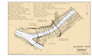
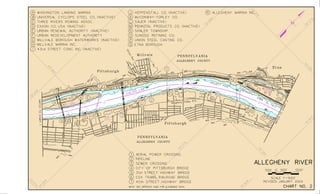


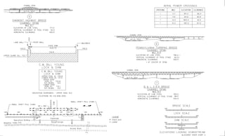


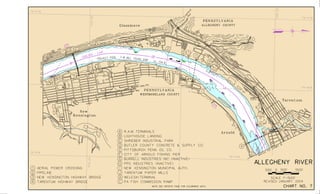


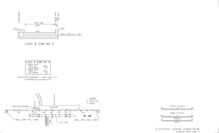


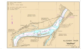


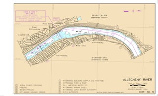


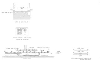
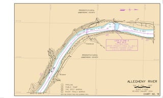


This document contains navigation charts and information for the Allegheny River between Pittsburgh, Pennsylvania and East Brady, Pennsylvania. It provides details on lock hours of operation, regulations for vessel operation, permit requirements, and contact information for navigation questions. The charts depict features like channels, buoys, mile points, and aids to navigation. General notes explain that minimum depths and geographic coordinates are based on historical soundings and aerial photos from 1992-1999.


