Downloaded 130 times

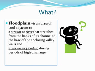
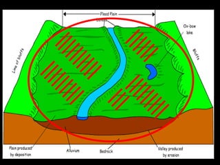
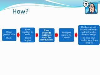
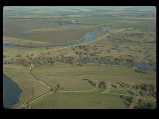


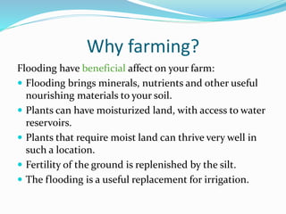

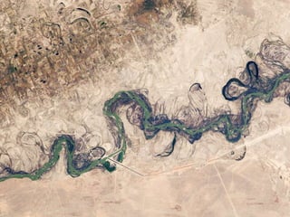
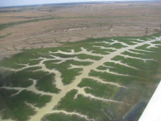
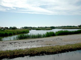
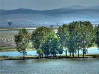


The document defines floodplains as areas adjacent to rivers that experience flooding during high discharge events. Flooding can benefit agriculture by depositing nutrient-rich materials on the land, providing moisture for plants, and replenishing soil fertility. However, there are serious risks associated with living and working in floodplain areas, necessitating caution and expert consultation before undertaking activities there.


