Downloaded 201 times
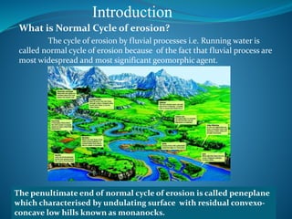
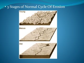
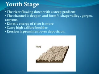
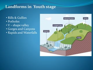
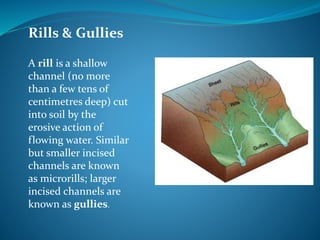
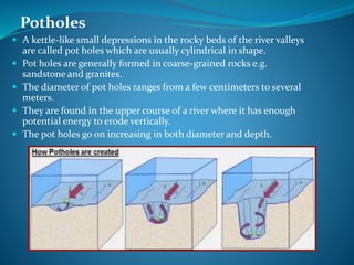

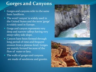
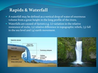
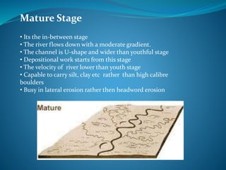
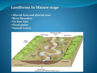
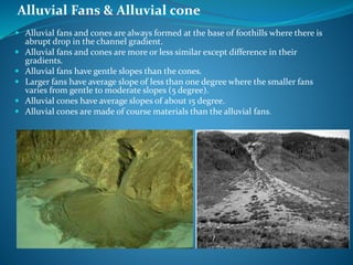

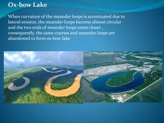
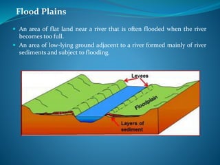

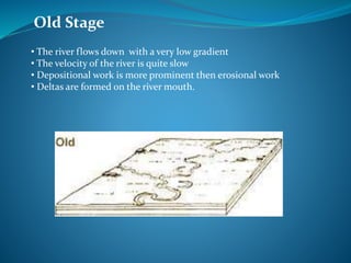


This document summarizes the normal cycle of erosion by fluvial processes. It describes the three stages: youth, mature, and old. In the youth stage, the river flows steeply, forming V-shaped valleys, gorges, and waterfalls through vigorous erosion. In the mature stage, the river gradient decreases and deposition begins, forming landforms like meanders, ox-bow lakes, and floodplains. In the old stage, the river gradient is low and deposition dominates, forming deltas at the river's mouth. The ideal cycle ends with the formation of a peneplain, but crustal instability prevents most landscapes from reaching this final stage.