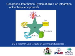
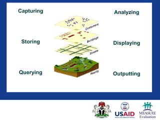
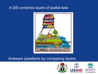
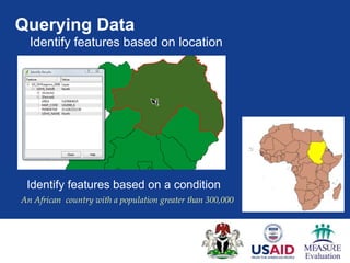
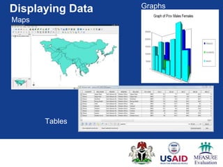
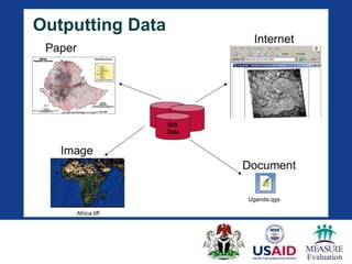
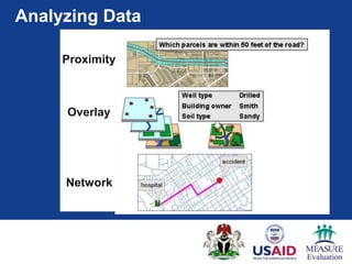
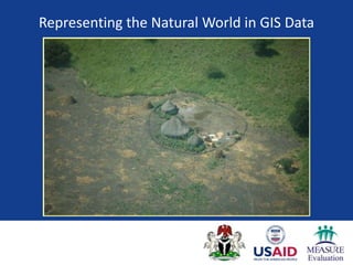
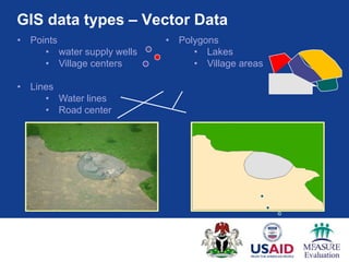
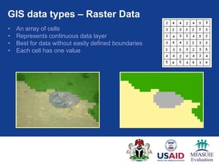
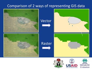
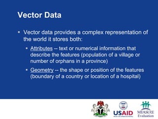
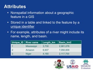
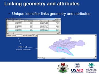
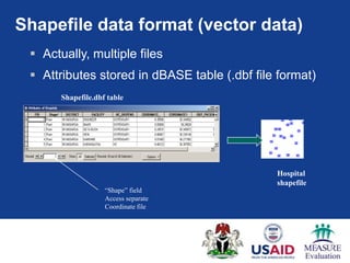
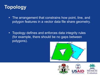
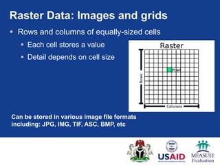
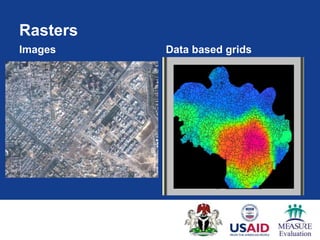
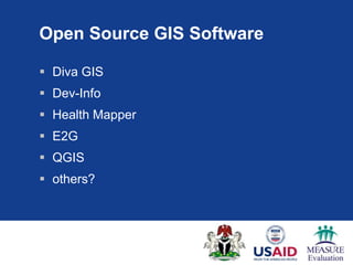
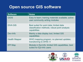
This document provides an introduction to geographic information systems (GIS) and mapping software. It discusses that GIS integrates spatial data by capturing, storing, analyzing, displaying, and outputting different layers of information. These layers can represent data as either raster images made of cells or vector features defined by points, lines, and polygons with associated attributes. The document recommends QGIS as open source software that is easy to learn and has an active user community for creating and analyzing maps.