Downloaded 84 times


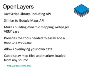
![Spatial Lite
• The SpatiaLite extension enables SQLite to
support spatial data too [aka GEOMETRY], in a
way conformant to Open GIS specifications.
• Supports all spatial data formats with open
GIS specifications
• supports importing and exporting from /
to shape files](https://image.slidesharecdn.com/free-opensourcegis-121012230556-phpapp01/85/Free-open-source-gis-17-320.jpg)


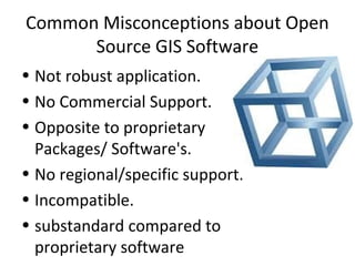


This document provides an overview of free and open source GIS software. It discusses what open source GIS is, including the four basic freedoms it provides. It outlines some major open source GIS projects like QGIS, GRASS, PostGIS, GeoServer, and OpenLayers. The document explains why one would use and teach open source GIS, including low costs, community support, and driving innovation. It also addresses some common misconceptions about open source GIS software.