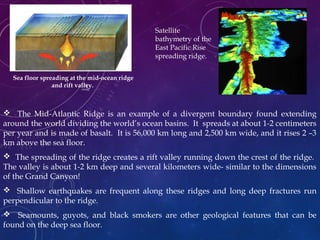
Downloaded 287 times

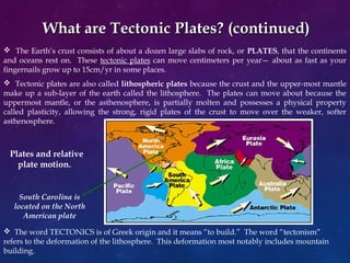
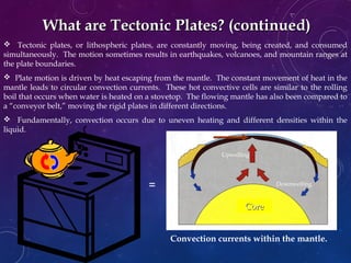
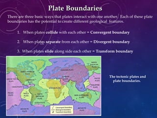
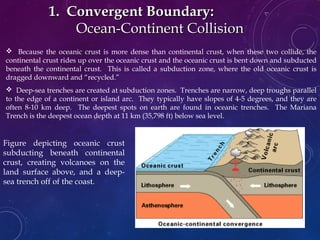
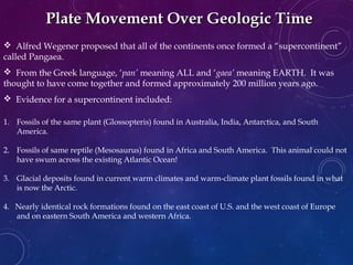
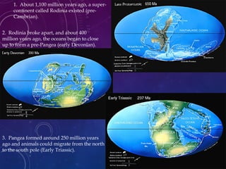
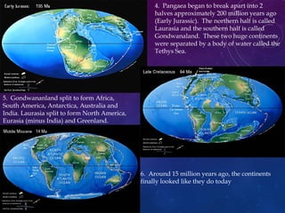


The document provides an overview of plate tectonics, detailing the Earth's layers, the nature of tectonic plates, and the three types of plate boundaries: convergent, divergent, and transform. It discusses the historical development of tectonic theory, from continental drift proposed by Alfred Wegener to its integration with sea-floor spreading in the 1960s. Furthermore, it explores the geological features and phenomena, such as earthquakes, volcanic activity, and mountain formation, resulting from plate interactions.