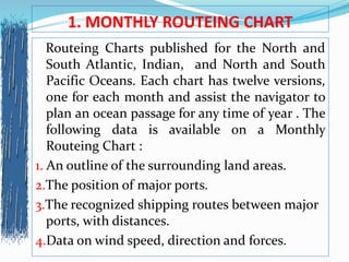
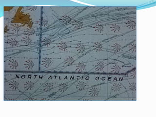
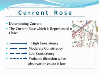
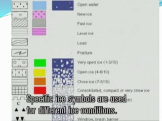
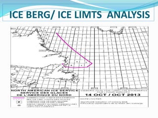
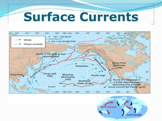
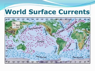
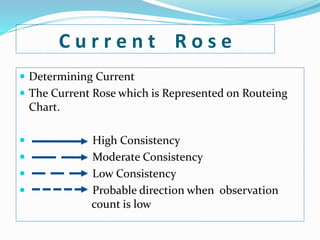
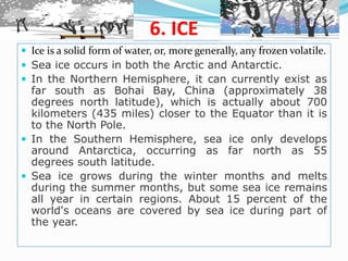
This document discusses various factors that can be used to determine the optimum shipping route, including monthly routeing charts, wave charts, ice charts, current information, prevailing winds, ice conditions, and other weather information sources like Navtex. Monthly routeing charts provide data on winds, temperatures, currents, and ice limits to assist navigators in planning ocean passages. Wave charts show actual and predicted wave heights and directions. Ice charts indicate ice amounts, pack locations, and iceberg positions. Current information is important for reducing travel time and fuel costs. Prevailing winds are the dominant wind patterns in different regions. Ice conditions vary by location and season. Navtex broadcasts navigational warnings and weather updates to ships.