![Isolines ,[object Object],[object Object]](data:image/gif;base64,R0lGODlhAQABAIAAAAAAAP///yH5BAEAAAAALAAAAAABAAEAAAIBRAA7)
Recommended
More Related Content
What's hot
What's hot (20)
Viewers also liked
Viewers also liked (12)
Similar to Isolines and contour lines
Similar to Isolines and contour lines (20)
More from lschmidt1170
More from lschmidt1170 (20)
Recently uploaded
Recently uploaded (20)
Isolines and contour lines
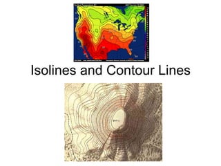
- 1. Isolines and Contour Lines
- 16. Simple Contour Line Map and Profile http://raider.muc.edu/~mcnaugma/Topographic%20Maps/contour.htm