Downloaded 61 times
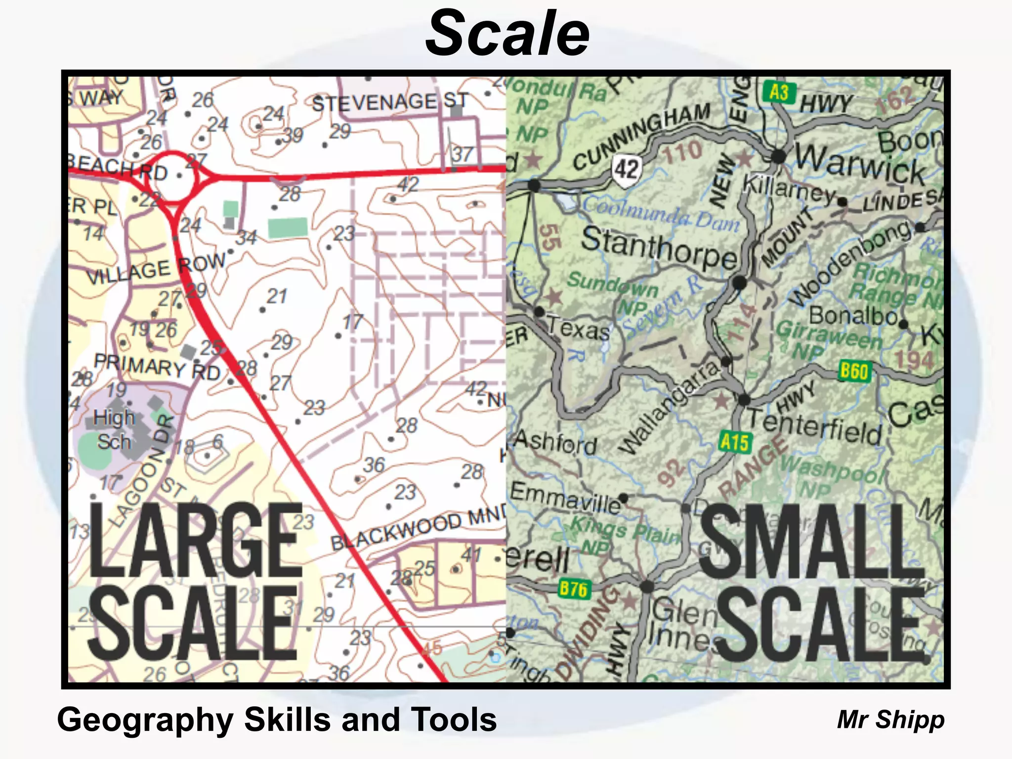
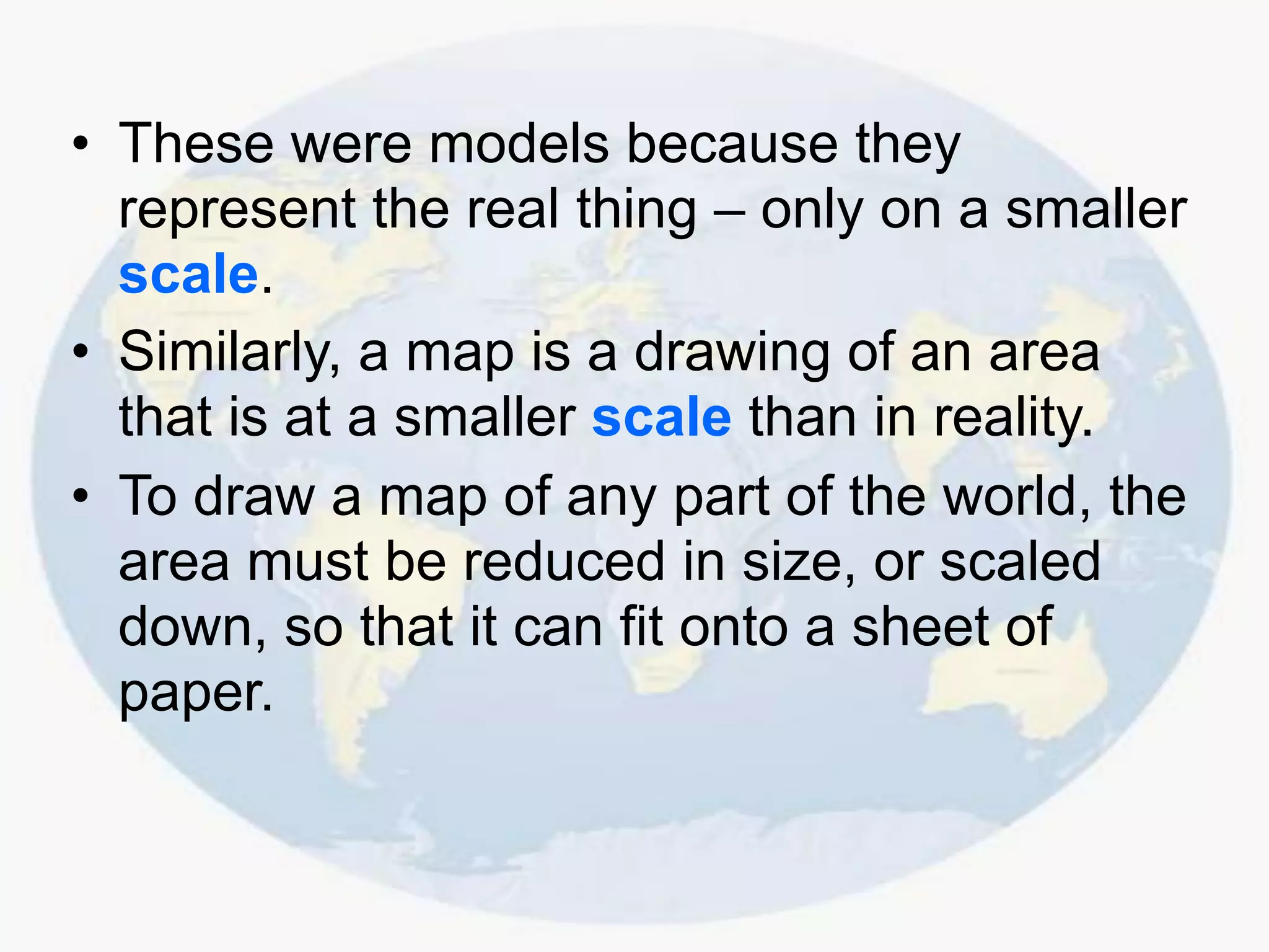
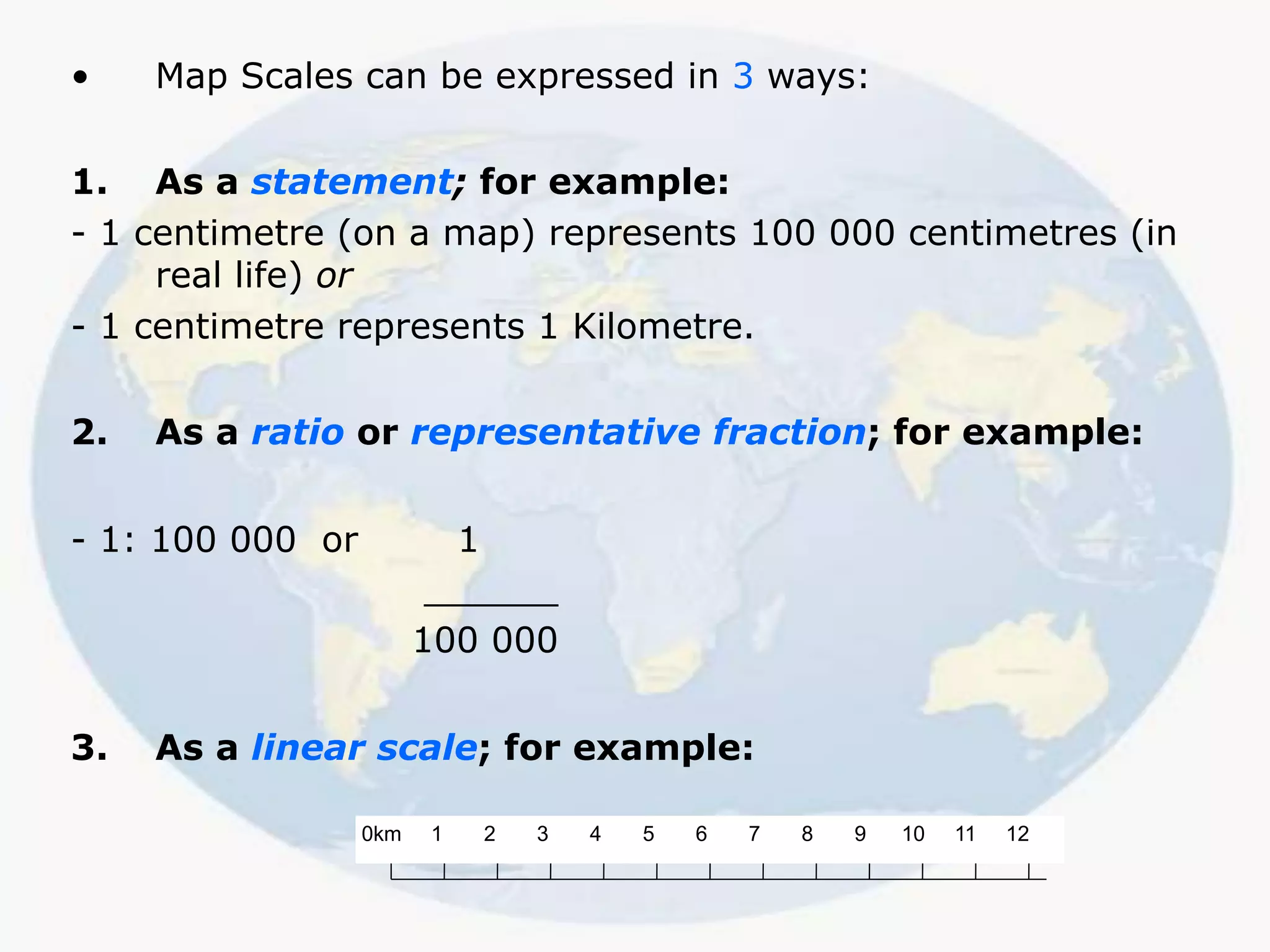
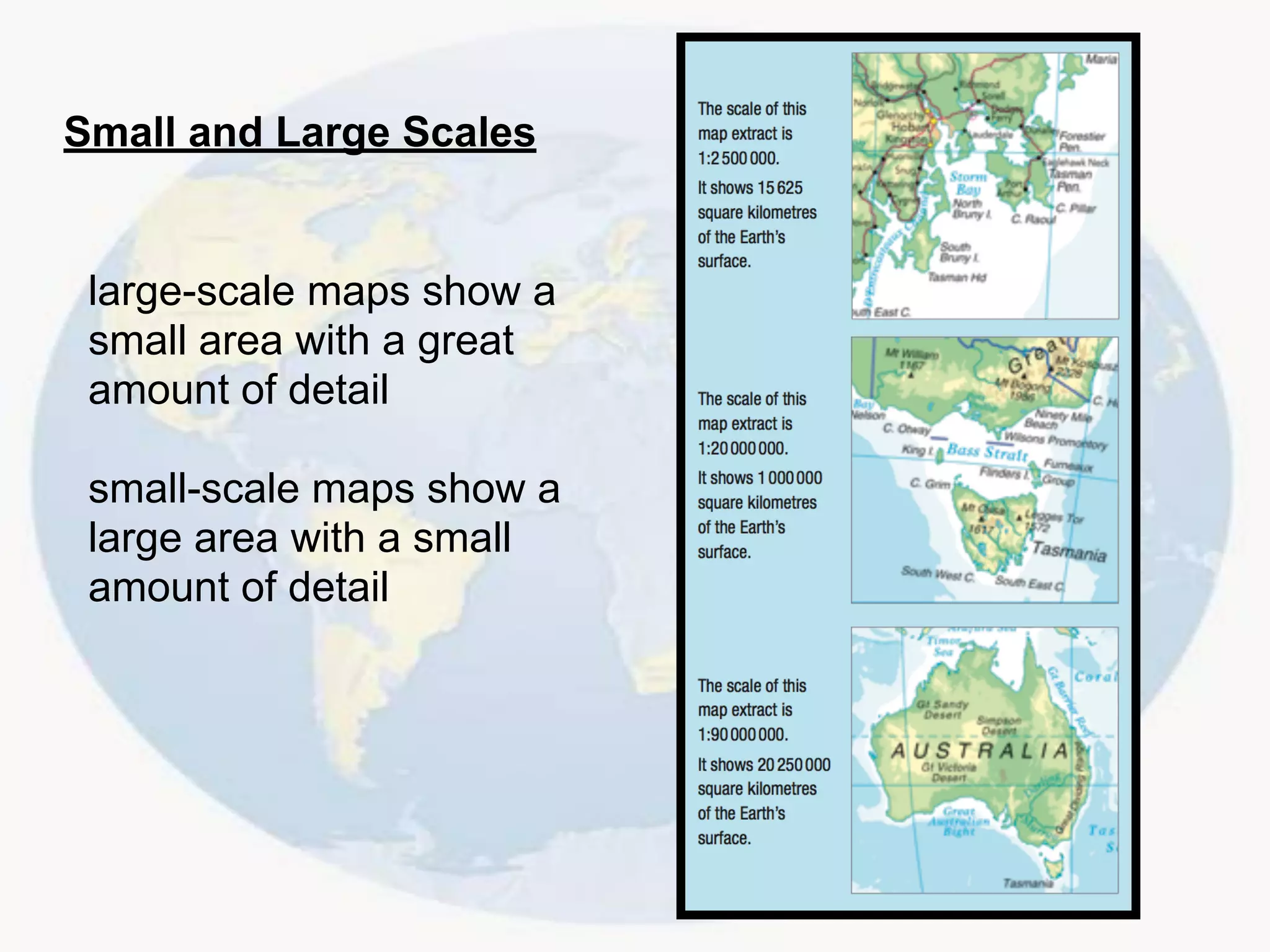
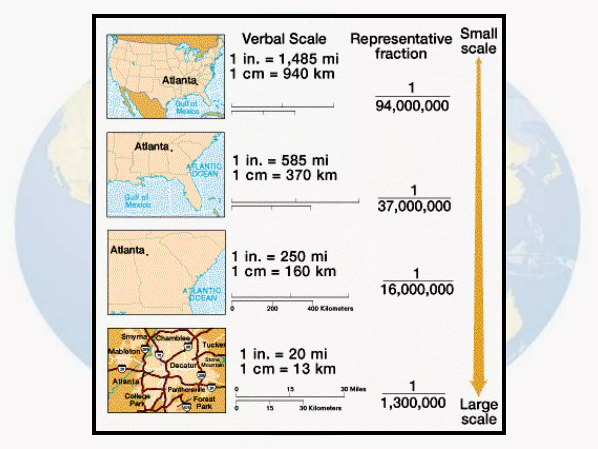

The document discusses map scales. It explains that maps are scaled down representations of areas of the world so they can fit on a sheet of paper. It states that map scales show the relationship between distances on a map and actual distances on the ground. Scales allow the determination of distances between places and the sizes of landmarks. The document also provides examples of how map scales can be expressed as statements, ratios, or linear scales.