
More Related Content
What's hot
What's hot (20)
Similar to Chapter two
Similar to Chapter two (20)
More from lschmidt1170
More from lschmidt1170 (20)
Recently uploaded
Recently uploaded (20)
Chapter two
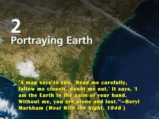
- 1. Title Page Photo "A map says to you, 'Read me carefully, follow me closely, doubt me not.' It says, 'I am the Earth in the palm of your hand. Without me, you are alone and lost.'" — Beryl Markham ( West With the Night, 1946 )
- 2. Vocabulary remote sensing (p. 44) representative fraction (p. 31) rhumb line (p. 36) small-scale map (p. 31) sonar (p. 48) verbal scale (p. 31) global positioning system (GPS) (p. 41) graphic scale (p. 30) isoline (p. 39) large-scale map (p. 31) loxodrome (p. 36) map (p. 29) map projection (p. 33) map scale (p. 30) Mercator projection (p. 36) multispectral scanning system (MSS) (p. 46) aerial photograph (p. 44) conformality (conformal projection) (p. 35) conic projection (p. 37) cylindrical projection (p. 35) elevation contour line (p. 39) equal area projection (p. 35) equivalence (equivalent projection) (p. 35) fractional scale (p. 31) geographic information systems (GIS) (p. 48) orthophoto map (p. 44) photogrammetry (p. 44) plane projection (p. 37) pseudocylindrical projection (elliptical projection) (p. 38) radar (p. 48)
- 11. Map Essentials