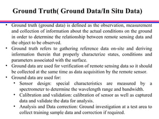
Downloaded 97 times

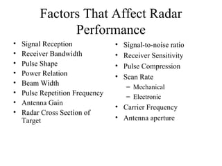
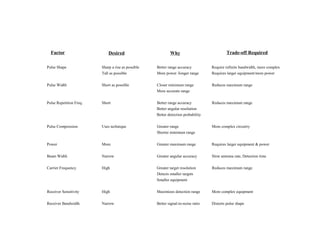
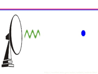
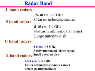
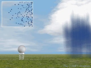
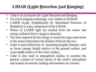
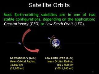
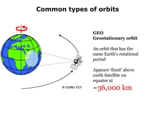
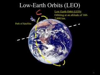
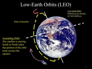
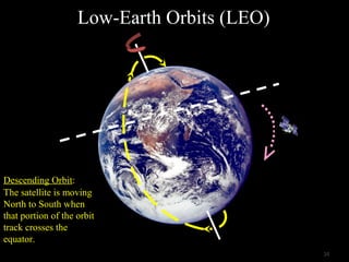
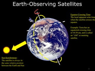
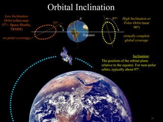

The document provides an overview of remote sensing technology, including classifications based on platform (ground-based, airborne, spaceborne), energy source (passive, active), and regions of the electromagnetic spectrum used. It describes key remote sensing tools like radar and LIDAR, and discusses important considerations like satellite orbits, ground truth data collection, and factors that affect radar performance. Platforms are classified by whether they are ground-based, airborne on aircraft/balloons, or spaceborne on satellites. The summary highlights the document's focus on different remote sensing techniques and essential context about the field.