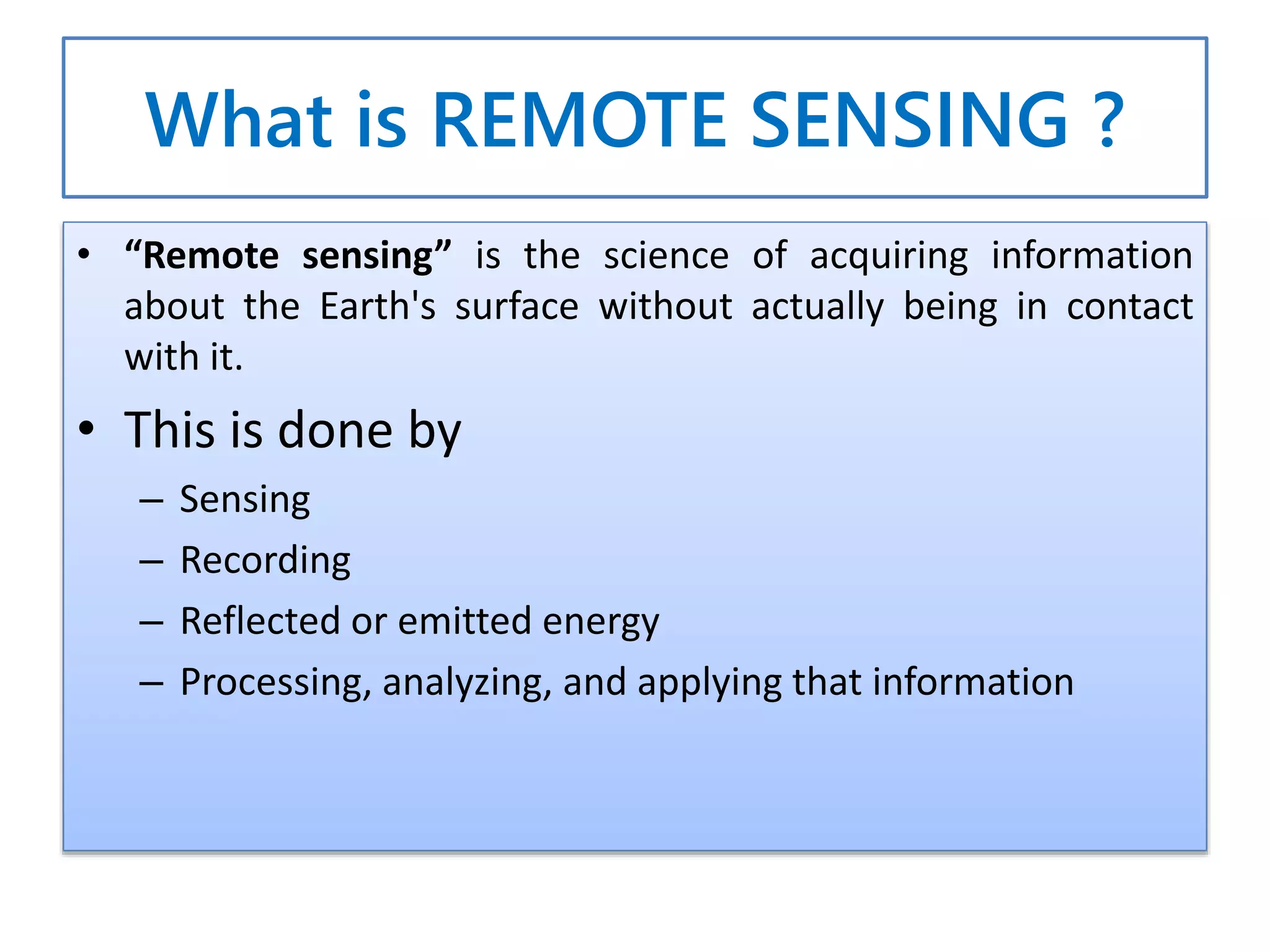
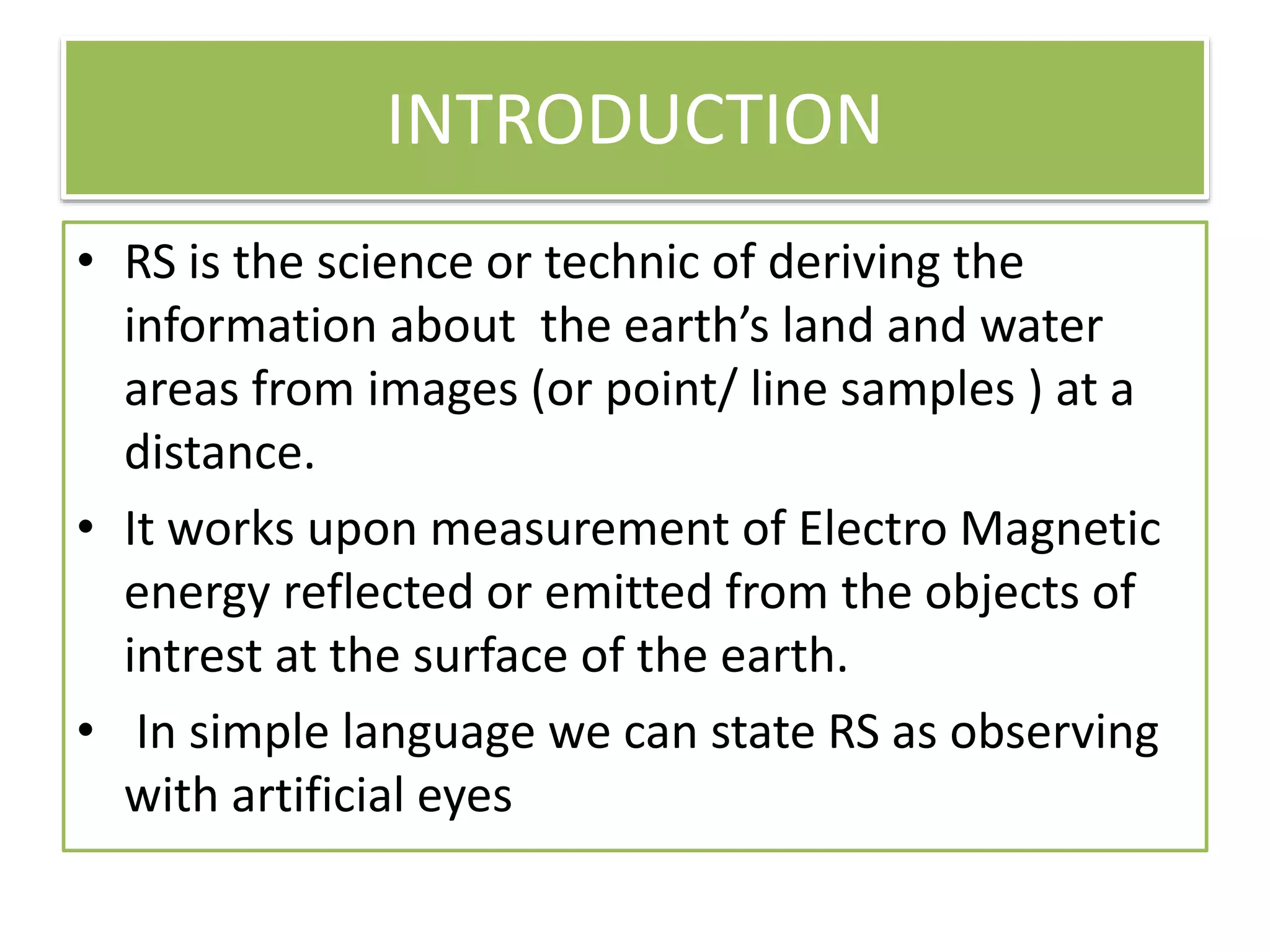
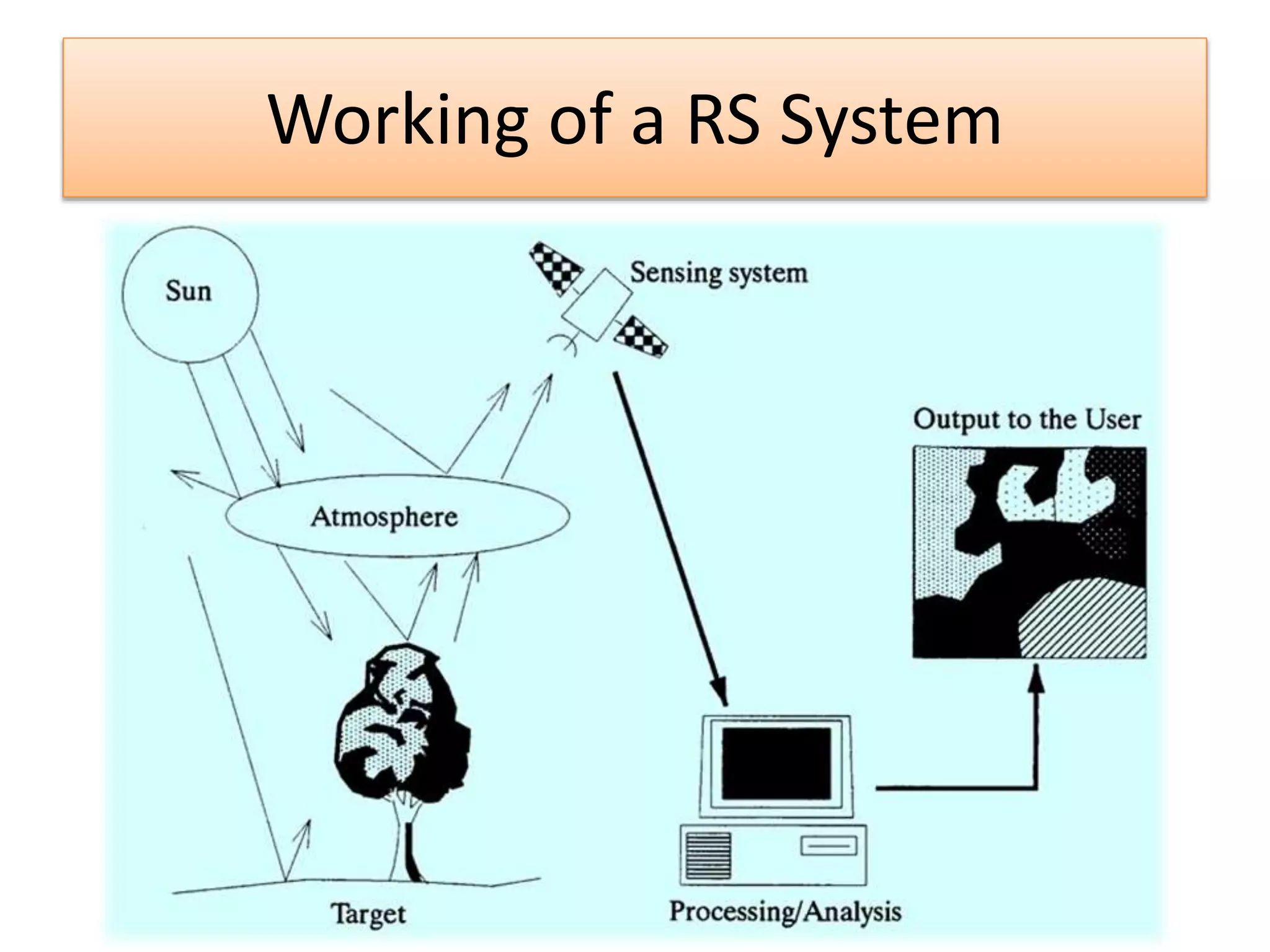
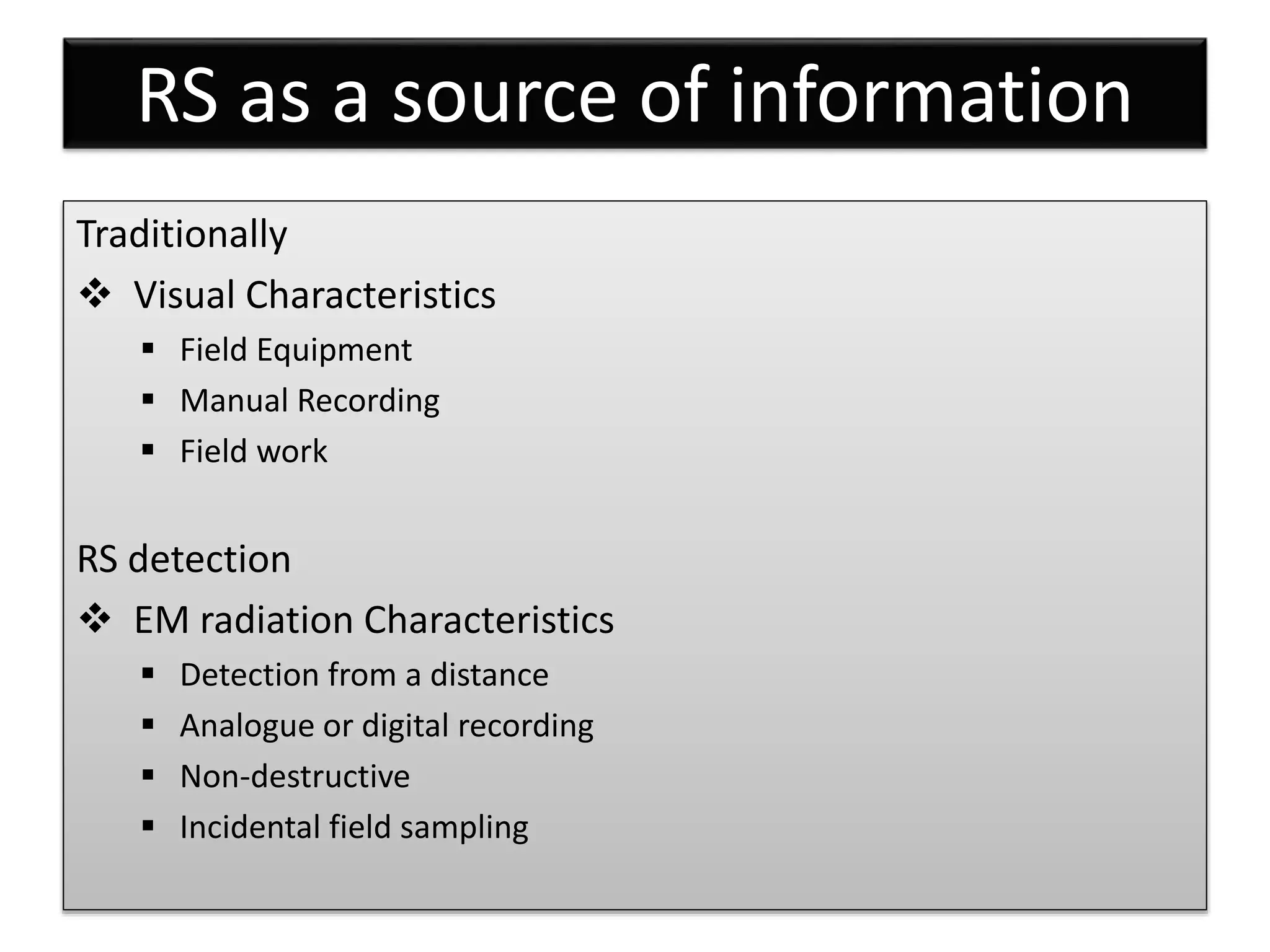
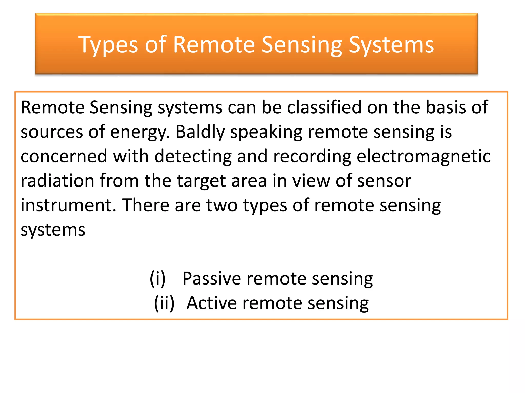
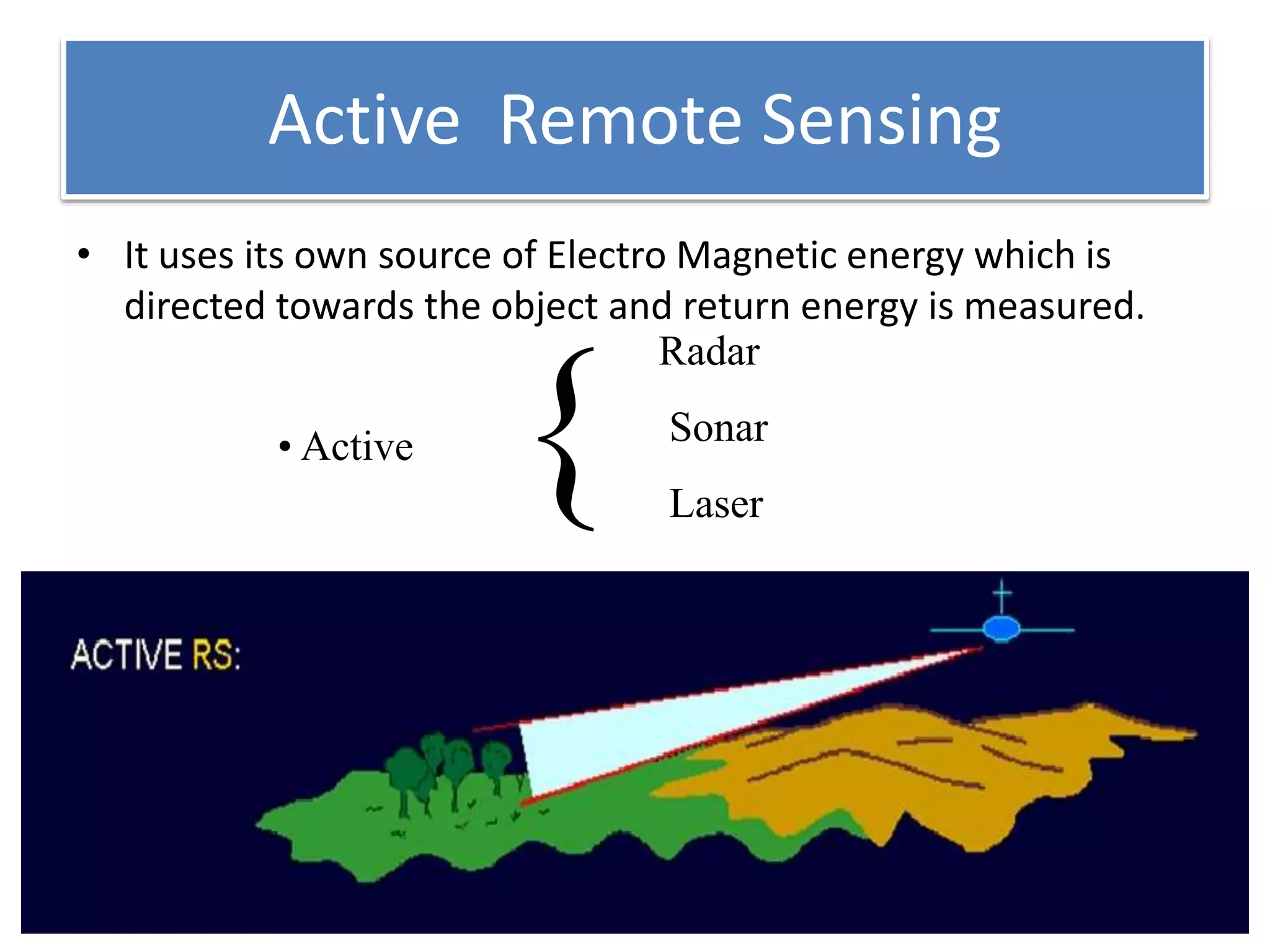
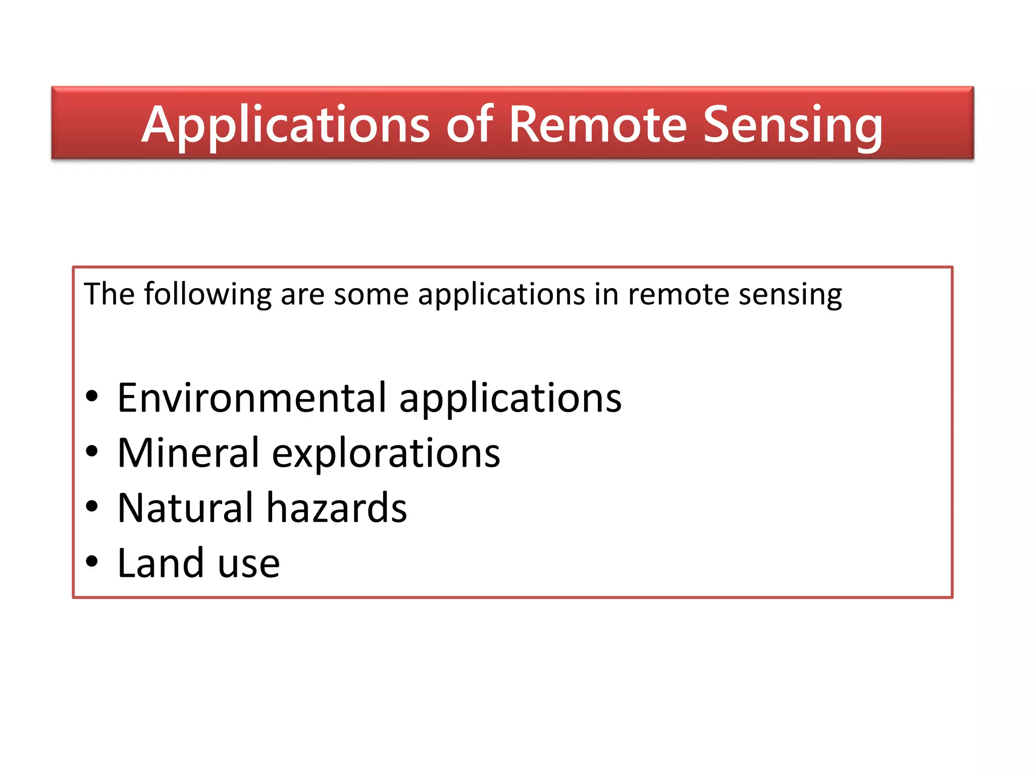
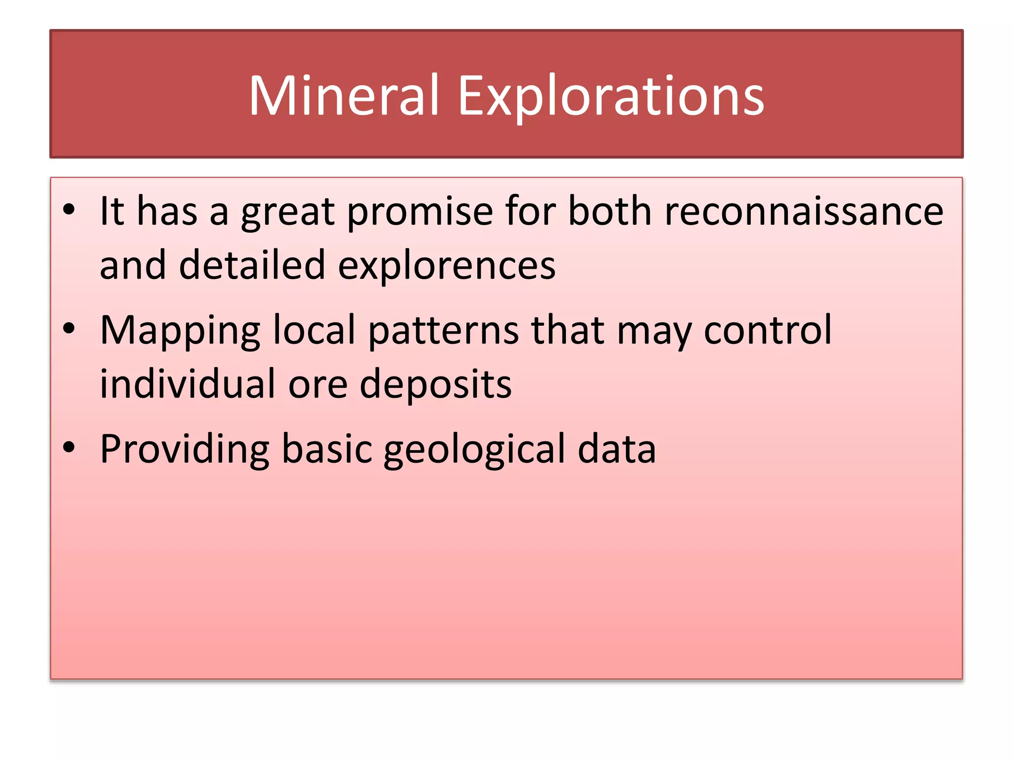
Remote Sensing
By
Syed Imran
12NA1A0117
A paper presentation on
Syed Imran
• B-Tech II year
• Civil Engineering
• LIMAT
• 12NA1A0117
• 8143234117
Objectives
• Introduction
• What is Remote sensing?
• Through the pages of history
• Remote sensing platforms
• Components of remote sensing system
• RS as a source of information
• Types of remote sensing systems
• Applications
• Conclusion
What is REMOTE SENSING ?
• “Remote sensing” is the science of acquiring information
about the Earth's surface without actually being in contact
with it.
• This is done by
– Sensing
– Recording
– Reflected or emitted energy
– Processing, analyzing, and applying that information
INTRODUCTION
• RS is the science or technic of deriving the
information about the earth’s land and water
areas from images (or point/ line samples ) at a
distance.
• It works upon measurement of Electro Magnetic
energy reflected or emitted from the objects of
intrest at the surface of the earth.
• In simple language we can state RS as observing
with artificial eyes
Through the pages of history
• • Remote sensing began in 1840
when balloonists
used “new camera technology” to
take pictures.
• At the end of century “pigeon
fleet” In Europe
Remote Sensing Platforms
• Ground based
• Aircraft
• Space shuttle
• Satellite
Working of a RS System
Components for today’s model
of a remote sensing satellite
• A barrier strip.
• An LED that is connected to the barrier strip.
• A multimeter that can measure a voltage in
millivolts.
• Wires that connect the multimeter to the a
barrier strip.
• A support that serves as a holder for the LED.
RS as a source of information
Traditionally
 Visual Characteristics
 Field Equipment
 Manual Recording
 Field work
RS detection
 EM radiation Characteristics
 Detection from a distance
 Analogue or digital recording
 Non-destructive
 Incidental field sampling
Types of Remote Sensing Systems
Remote Sensing systems can be classified on the basis of
sources of energy. Baldly speaking remote sensing is
concerned with detecting and recording electromagnetic
radiation from the target area in view of sensor
instrument. There are two types of remote sensing
systems
(i) Passive remote sensing
(ii) Active remote sensing
Passive Remote Sensing
• It uses sun as a source of EM energy and records the energy is
naturally radiated and/or reflected from the objects.
Human eye
Camera
Radiometer
• Passive {
Active Remote Sensing
• It uses its own source of Electro Magnetic energy which is
directed towards the object and return energy is measured.
Radar
Sonar
Laser
• Active
{
Applications of Remote Sensing
The following are some applications in remote sensing
• Environmental applications
• Mineral explorations
• Natural hazards
• Land use
ENVIRONMENTAL APPLICATIONS
• This plays a vital role in acquiring basic
environmental information
• The Indian series of satellites INSAT are
currently used for weather forecasting
• Pollution in the form of oil spills and thermal
plumes can easily be monitored
Mineral Explorations
• It has a great promise for both reconnaissance
and detailed explorences
• Mapping local patterns that may control
individual ore deposits
• Providing basic geological data
Natural Hazards
• To identify the risk prone areas
• To estimate the upcoming natural hazards in
various places
• To access the damage caused and there by
helping the rescue and aid operations
Land Use
• Images of large areas can be acquired rapidly
• The problem of access that generally hampers
ground surveys is eliminated.
• Images provide a perspective which is lacking
in the ground survey.
• It is a faster as well as cheaper when
compared to ground survey
Dis-Advantages
• Expensive to build and operate!!!!
• Measurement uncertainty can be large
• resolution is often coarse
– 88D pulse volume is over 1.5 km wide at 100 km range
from radar
– satellites
• Data interpretation can be difficult
– need to understand theoretically how the instrument is
making the measurements
– need to understand measurement uncertainties
– need to have some knowledge of the phenomena you are
sampling
remotesensing-150904070146-lva1-app6892.pdf

remotesensing-150904070146-lva1-app6892.pdf

  • 1.
  • 2.
    Syed Imran • B-TechII year • Civil Engineering • LIMAT • 12NA1A0117 • 8143234117
  • 3.
    Objectives • Introduction • Whatis Remote sensing? • Through the pages of history • Remote sensing platforms • Components of remote sensing system • RS as a source of information • Types of remote sensing systems • Applications • Conclusion
  • 4.
    What is REMOTESENSING ? • “Remote sensing” is the science of acquiring information about the Earth's surface without actually being in contact with it. • This is done by – Sensing – Recording – Reflected or emitted energy – Processing, analyzing, and applying that information
  • 5.
    INTRODUCTION • RS isthe science or technic of deriving the information about the earth’s land and water areas from images (or point/ line samples ) at a distance. • It works upon measurement of Electro Magnetic energy reflected or emitted from the objects of intrest at the surface of the earth. • In simple language we can state RS as observing with artificial eyes
  • 6.
    Through the pagesof history • • Remote sensing began in 1840 when balloonists used “new camera technology” to take pictures. • At the end of century “pigeon fleet” In Europe
  • 7.
    Remote Sensing Platforms •Ground based • Aircraft • Space shuttle • Satellite
  • 8.
    Working of aRS System
  • 9.
    Components for today’smodel of a remote sensing satellite • A barrier strip. • An LED that is connected to the barrier strip. • A multimeter that can measure a voltage in millivolts. • Wires that connect the multimeter to the a barrier strip. • A support that serves as a holder for the LED.
  • 10.
    RS as asource of information Traditionally  Visual Characteristics  Field Equipment  Manual Recording  Field work RS detection  EM radiation Characteristics  Detection from a distance  Analogue or digital recording  Non-destructive  Incidental field sampling
  • 11.
    Types of RemoteSensing Systems Remote Sensing systems can be classified on the basis of sources of energy. Baldly speaking remote sensing is concerned with detecting and recording electromagnetic radiation from the target area in view of sensor instrument. There are two types of remote sensing systems (i) Passive remote sensing (ii) Active remote sensing
  • 12.
    Passive Remote Sensing •It uses sun as a source of EM energy and records the energy is naturally radiated and/or reflected from the objects. Human eye Camera Radiometer • Passive {
  • 13.
    Active Remote Sensing •It uses its own source of Electro Magnetic energy which is directed towards the object and return energy is measured. Radar Sonar Laser • Active {
  • 14.
    Applications of RemoteSensing The following are some applications in remote sensing • Environmental applications • Mineral explorations • Natural hazards • Land use
  • 15.
    ENVIRONMENTAL APPLICATIONS • Thisplays a vital role in acquiring basic environmental information • The Indian series of satellites INSAT are currently used for weather forecasting • Pollution in the form of oil spills and thermal plumes can easily be monitored
  • 16.
    Mineral Explorations • Ithas a great promise for both reconnaissance and detailed explorences • Mapping local patterns that may control individual ore deposits • Providing basic geological data
  • 17.
    Natural Hazards • Toidentify the risk prone areas • To estimate the upcoming natural hazards in various places • To access the damage caused and there by helping the rescue and aid operations
  • 18.
    Land Use • Imagesof large areas can be acquired rapidly • The problem of access that generally hampers ground surveys is eliminated. • Images provide a perspective which is lacking in the ground survey. • It is a faster as well as cheaper when compared to ground survey
  • 19.
    Dis-Advantages • Expensive tobuild and operate!!!! • Measurement uncertainty can be large • resolution is often coarse – 88D pulse volume is over 1.5 km wide at 100 km range from radar – satellites • Data interpretation can be difficult – need to understand theoretically how the instrument is making the measurements – need to understand measurement uncertainties – need to have some knowledge of the phenomena you are sampling