CONTENT
What IsGIS?
Principle Of GIS
Function Of GIS
Components of GIS
Types of GIS
Advantages of GIS
Applications of GIS
Conclusion
3.
Introduction
A GIS isan organized collection of computer hardware,
software, geographic data, and personnel to efficiently
capture, store, update, manipulate, analyze, and display
all forms of geographically referenced information.
4.
Geographic
Information System (GIS)
A GIS integrates spatial and other kinds of information
within a single system to provide a consistent framework
for analyzing geographic (spatial) data.
A GIS makes connections between activities based on
geographic proximity.
The digital data structure can be conceptualized as
a set of “floating electronic maps” with a common
registration allowing the used to “look” down (drill
down) and across the stack of maps.
The spatial relationships can be summarized (data base
inquiries
5.
Principle
Data Capture
Datasources are mainly obtained from manual digitization and scanning of aerial
photographs, paper maps, and existing digital
data sets
Database Management and Update
data security, data integrity, and data storage and retrieval, and
data maintenance abilities
Geographic Analysis
The collected information is analyzed and interpreted qualitatively and quantitatively.
Preparing Result
One of the most exciting aspects of GIS technology is the variety of different
ways in which the information can be presented.
6.
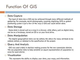
Function Of GIS
Data Capture
The input of data into a GIS can be achieved through many different methods of
gathering. For example, aerial photography, scanning, digitizing, GPS or global
positioning system is just a few of the ways a GIS user could obtain data.
Data Storage
Some data is stored such as a map in a drawer, while others, such as digital data,
can be as a hardcopy, stored on CD or on your hard drive.
Data Manipulation
The digital geographical data can be edited, this allows for many attribute to be
added, edited, or deleted to the specification of the project.
Query And Analysis
GIS was used widely in decision making process for the new commission districts.
We use population data to help establish an equal representation of population to
area for each district.
Visualization
This represents the ability to display your data, your maps, and information.
7.
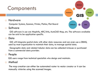
Components
Hardware
Computer System,Scanner, Printer, Plotter, Flat Board
Software
GIS software in use are MapInfo, ARC/Info, AutoCAD Map, etc. The software available
can be said to be application specific.
Data
GIS will integrate spatial data with other data resources and can even use a DBMS,
used by most organization to maintain their data, to manage spatial data.
Geographic data and related tabular data can be collected in-house or purchased
from a commercial data provider.
People
GIS users range from technical specialists who design and maintain.
Method
The map creation can either be automated raster to vector creator or it can be
manually victories using the scanned images.
Scope OF GIS
An information system has a full range of functions
to find:
Hospitals & Health care Centers
Schools, Colleges & Edu. Campus
Hotels, Restaurants
Banks , ATMs
Govt. Offices, Police Stations
Railway Stations, Bus Stations, etc.
10.
Advantages of GIS
GIS allows us to view, understand, and visualize data in many
ways that reveal relationships, patterns, and trends in the form
of maps, globes, reports, and charts.
A GIS helps you answer questions and solve problems by
looking at your data in a way that is quickly understood and
easily shared.
GIS give the accurate Data.
Better Predictions and Analysis
11.
Disadvantages of GIS
Excessive damage in case of internal fault. Long
outage periods as Repair of damaged part at site
may be difficult.
Expensive software.
Integration with traditional map is difficult.
12.
Conclusion
User canprint and save the image of the required
map.
User can view different parameters of particular
area.
User can get path from source to destination.
GIS will also provide working hours.