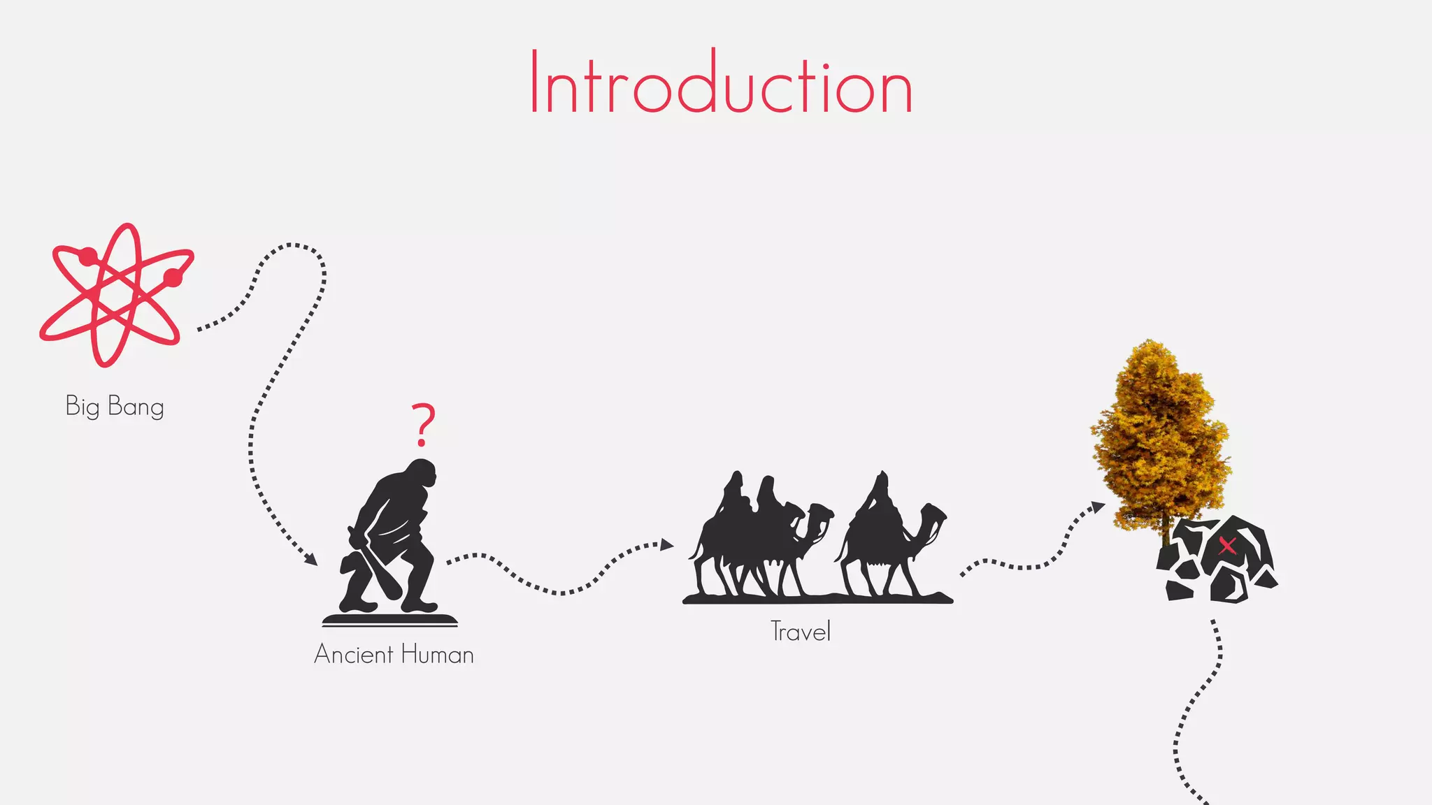
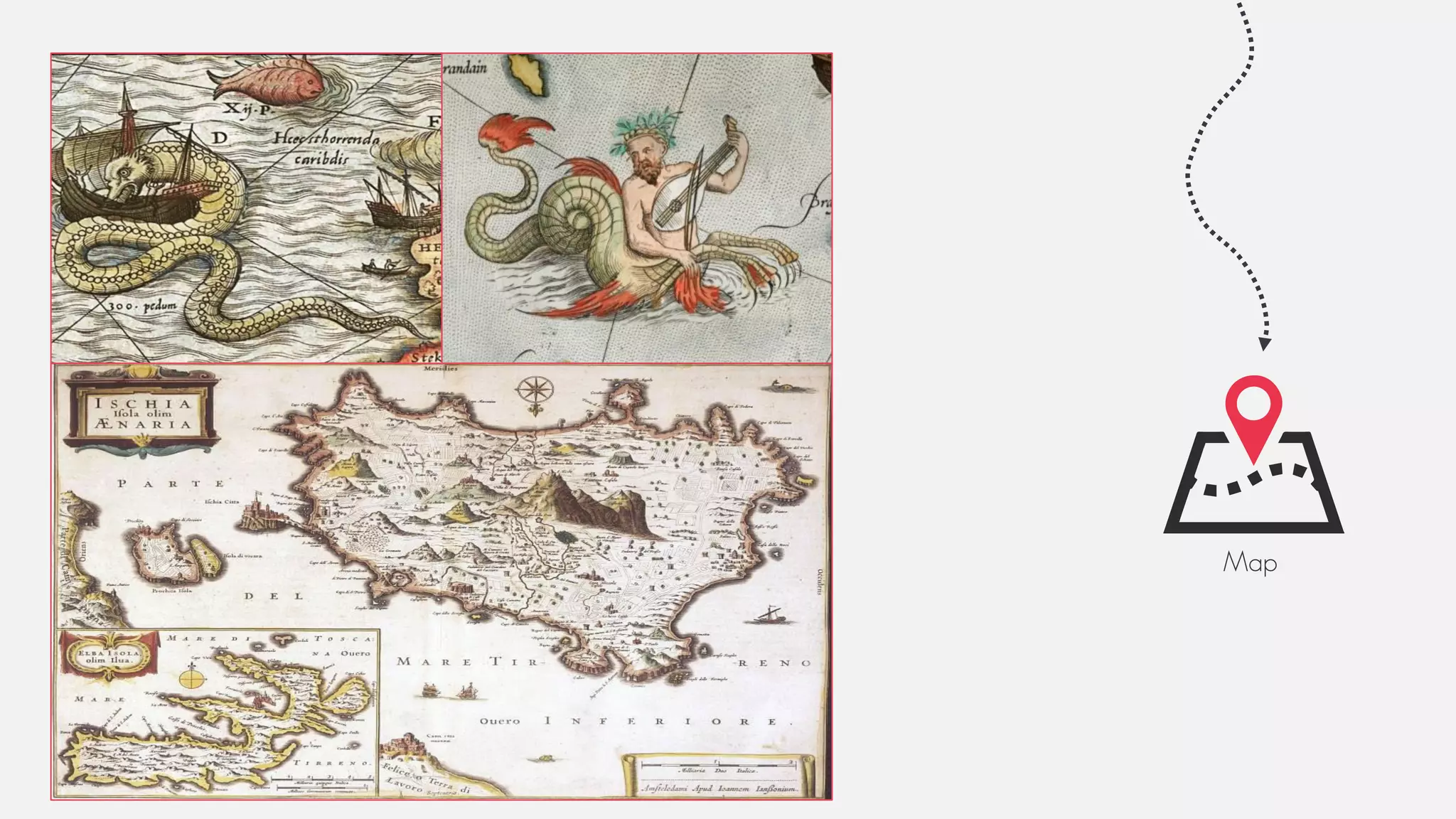
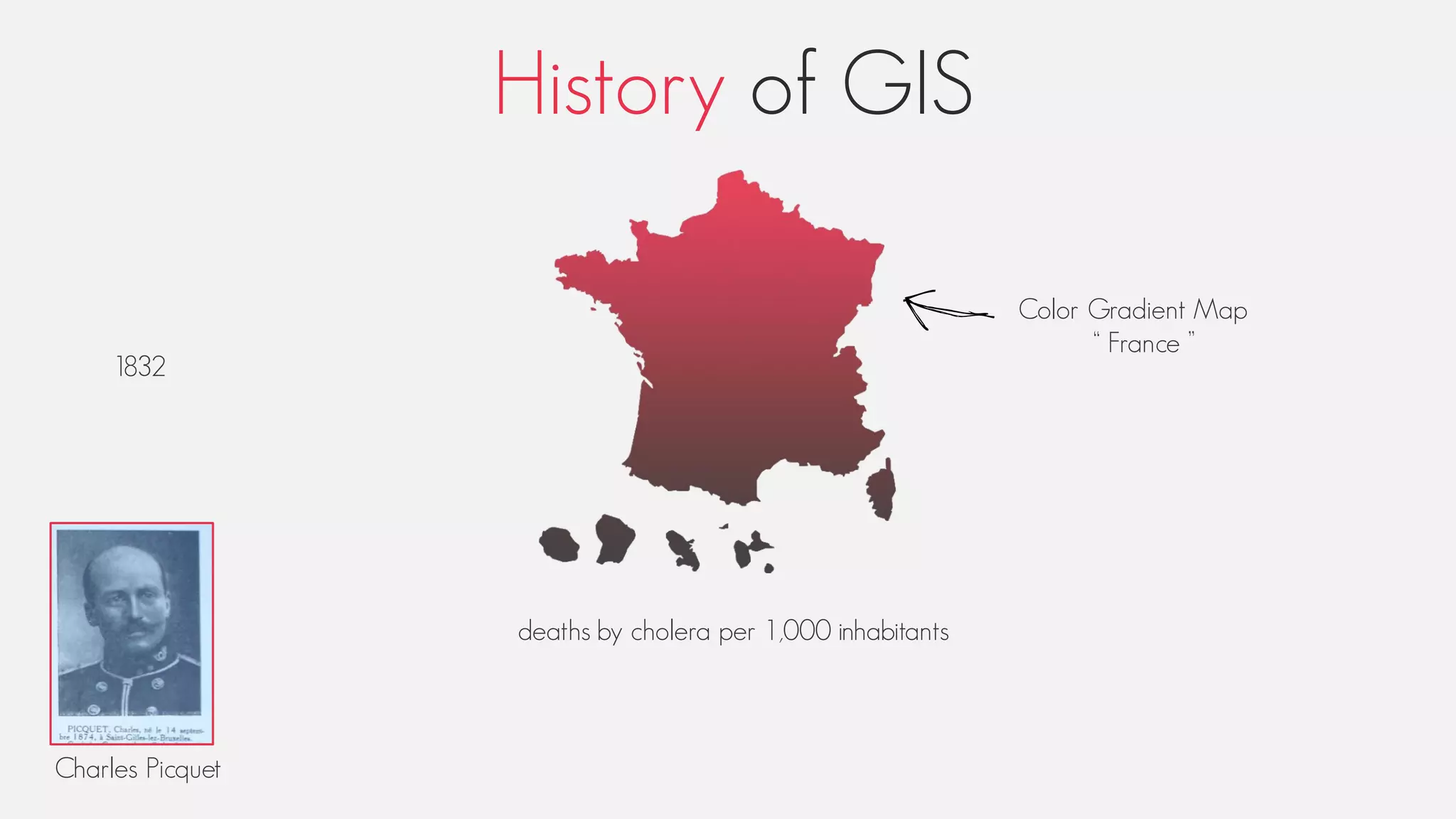
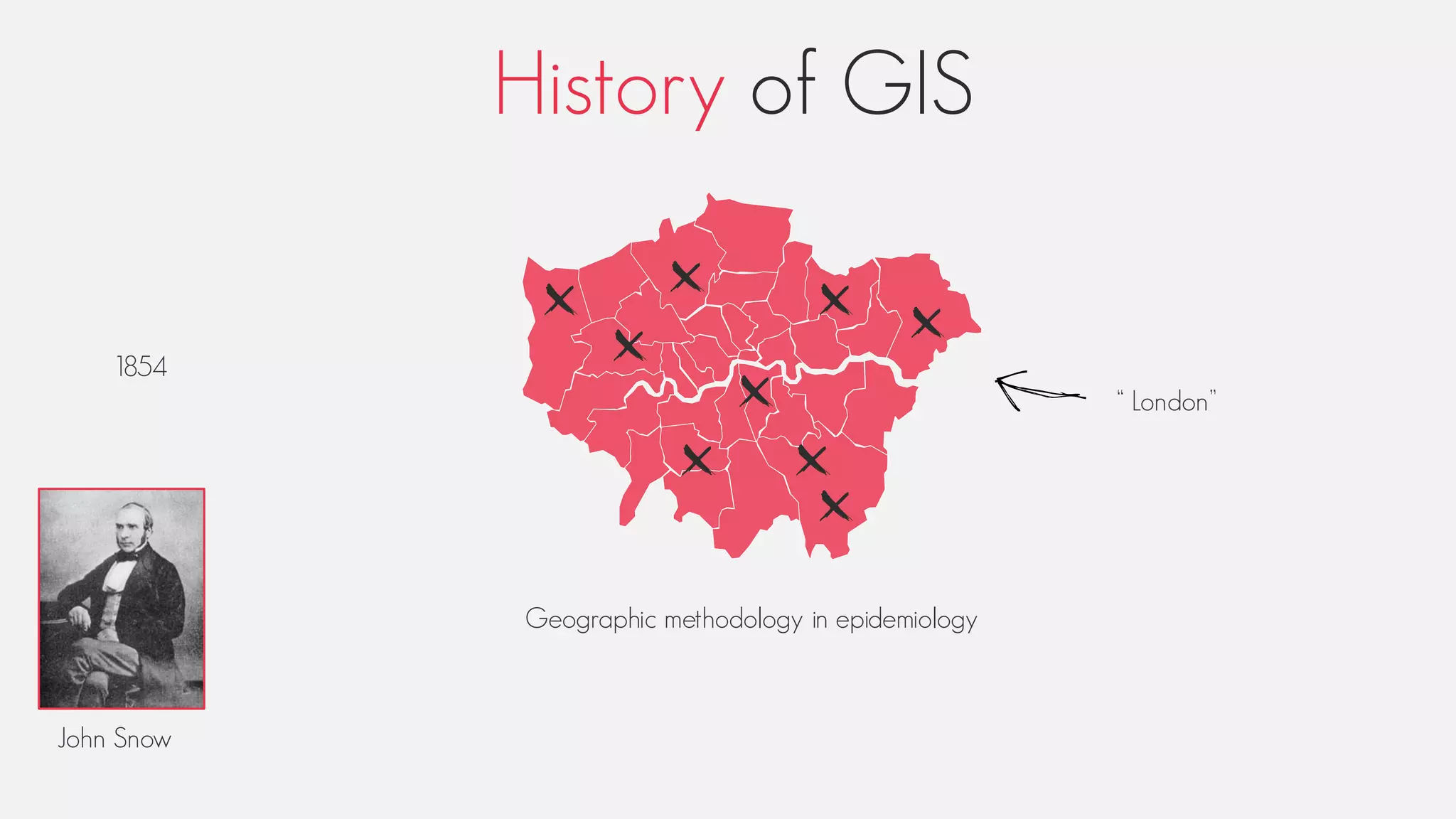
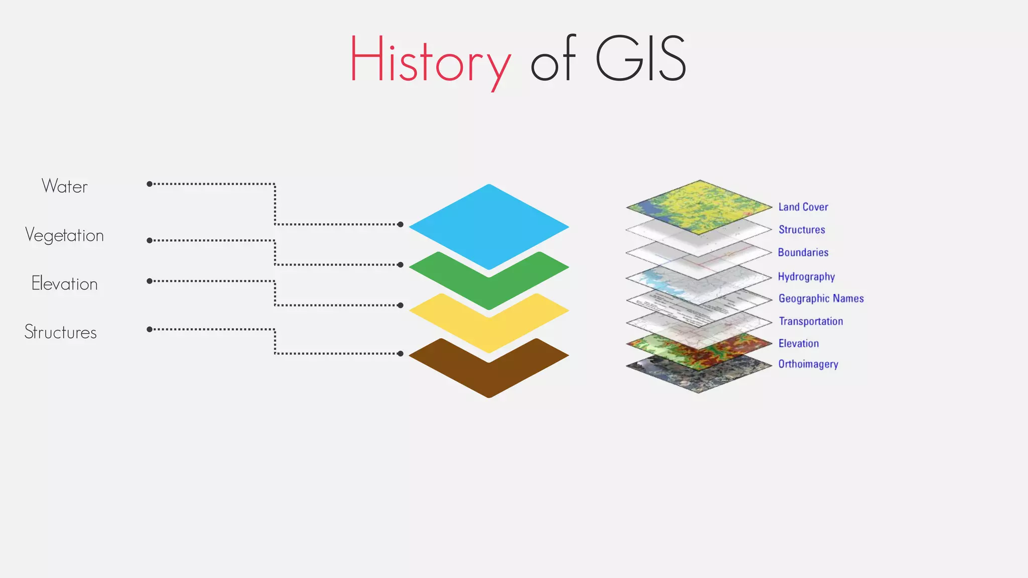
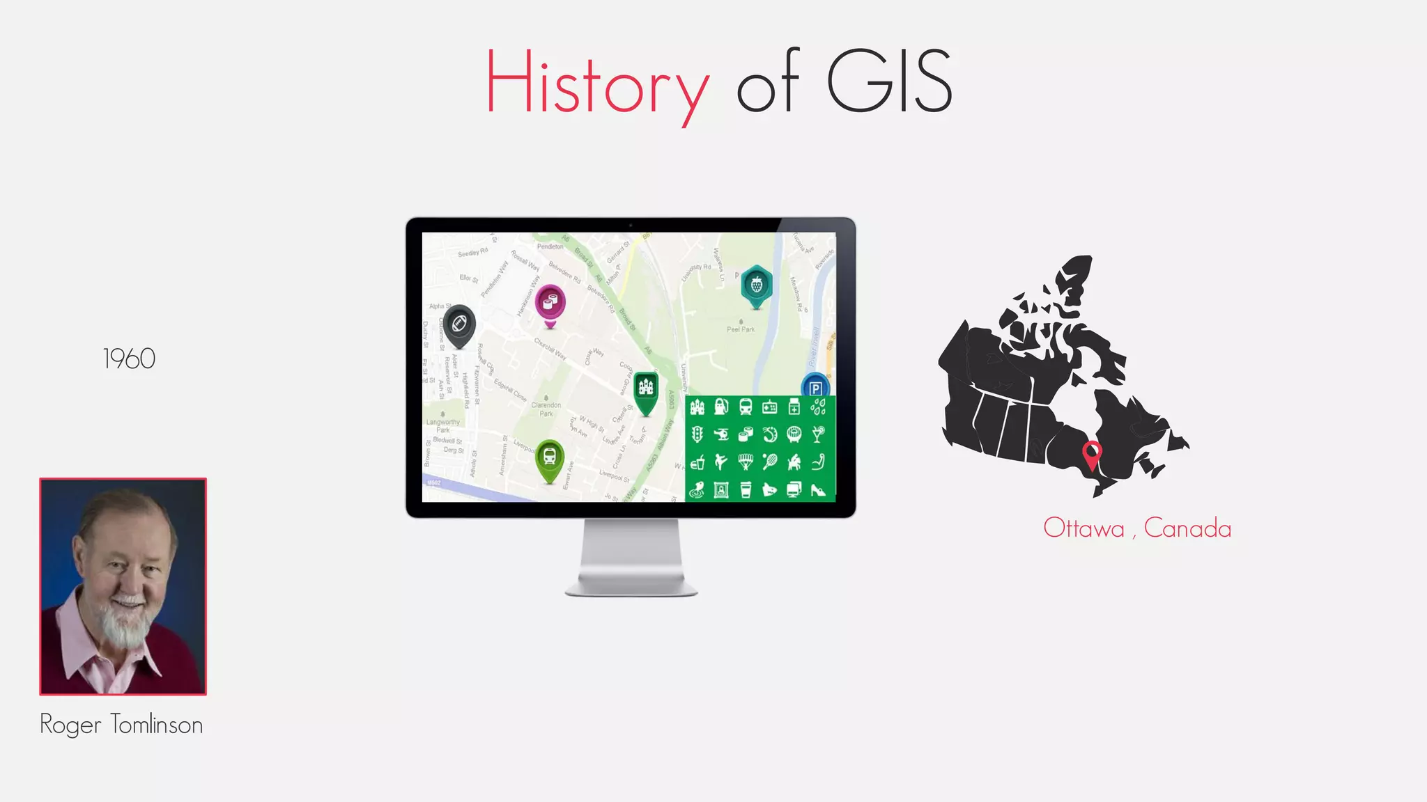
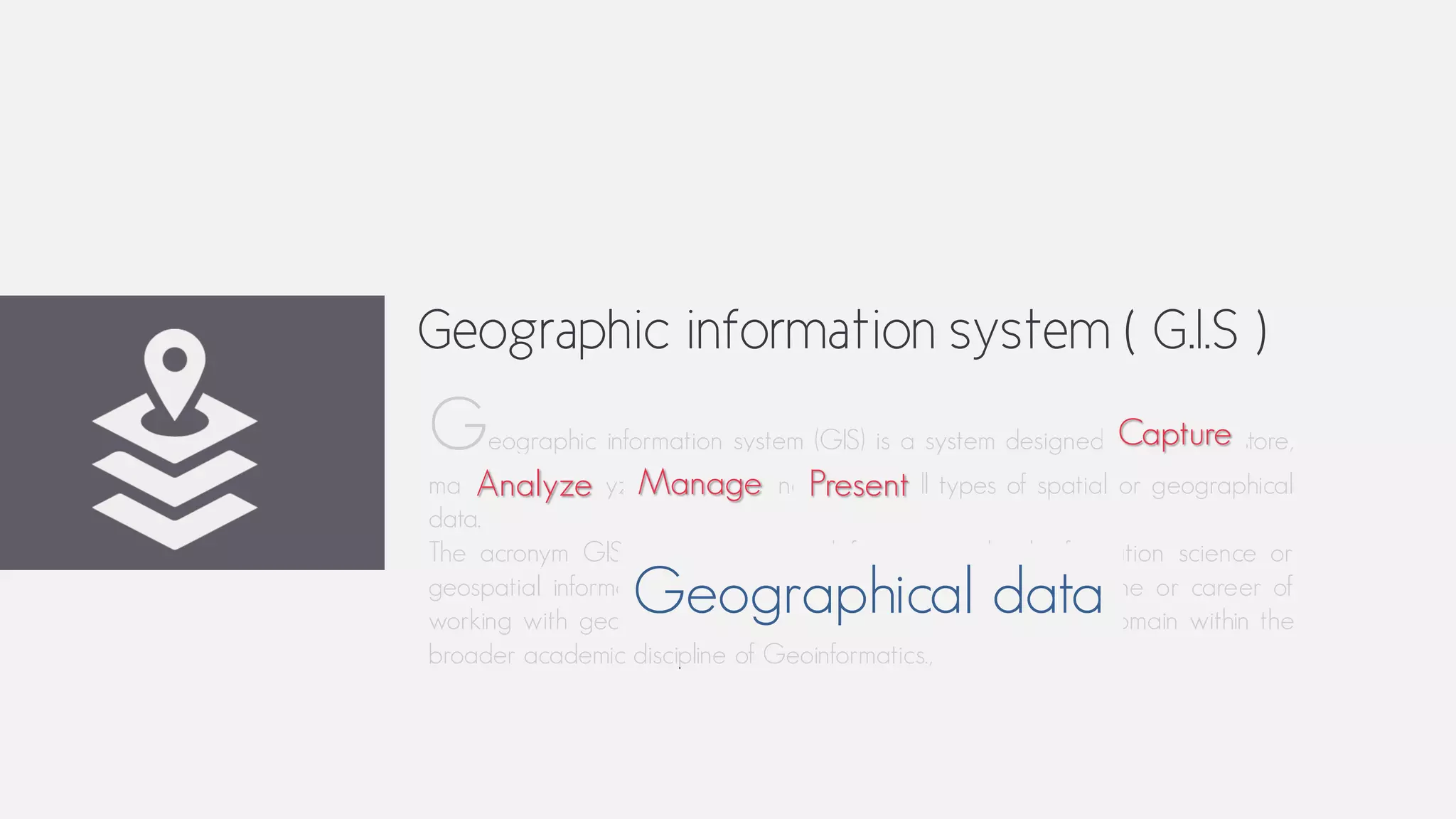
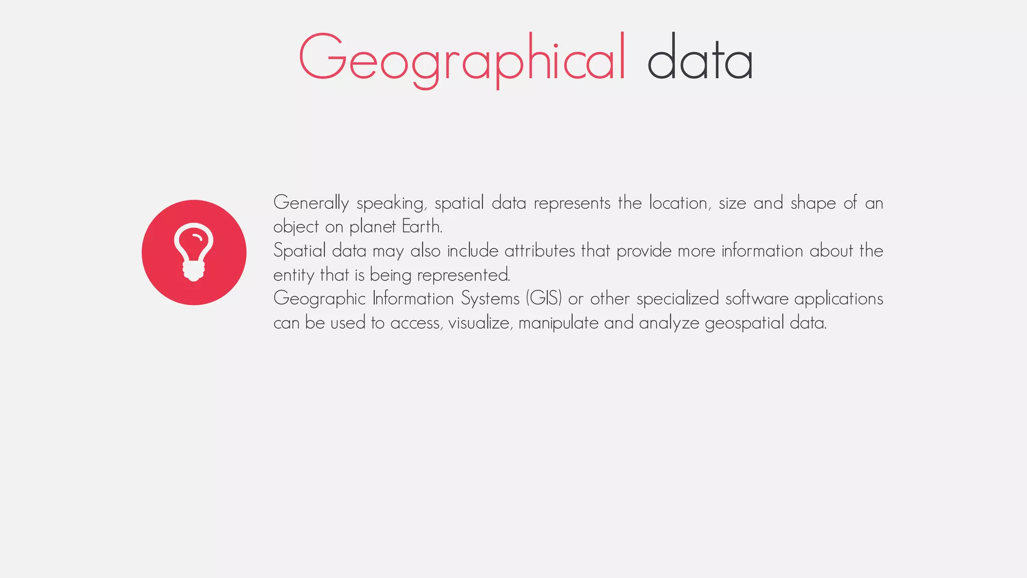
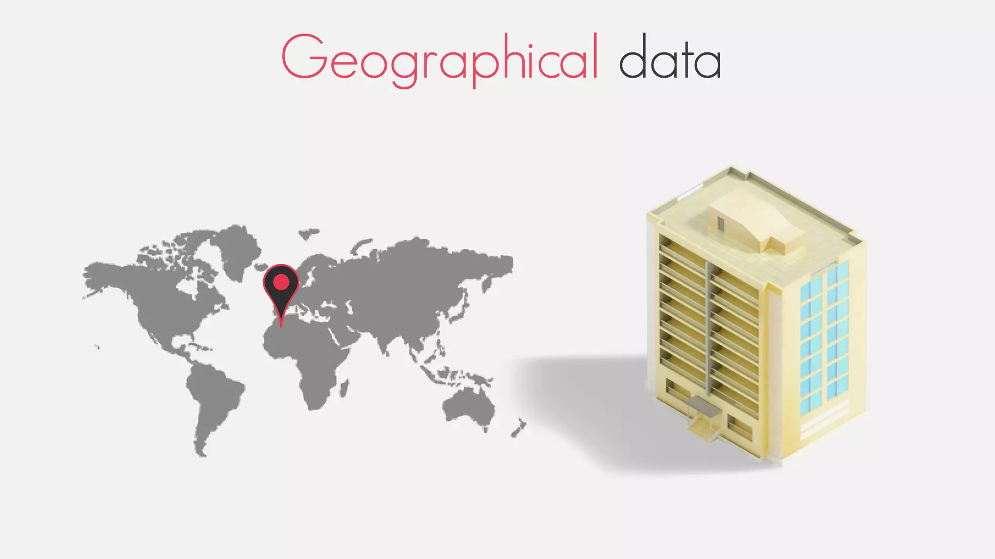
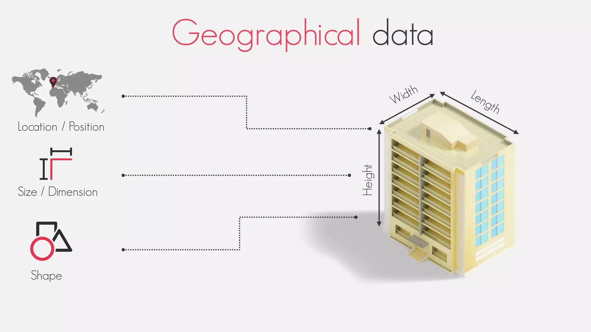
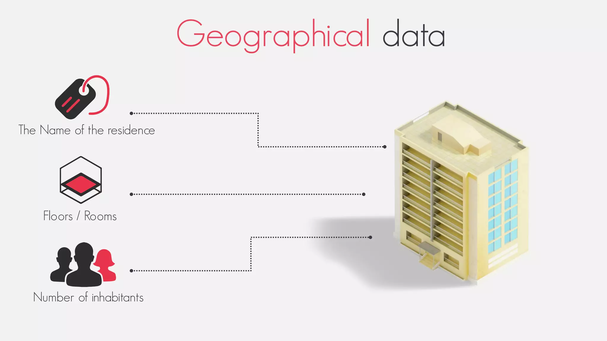
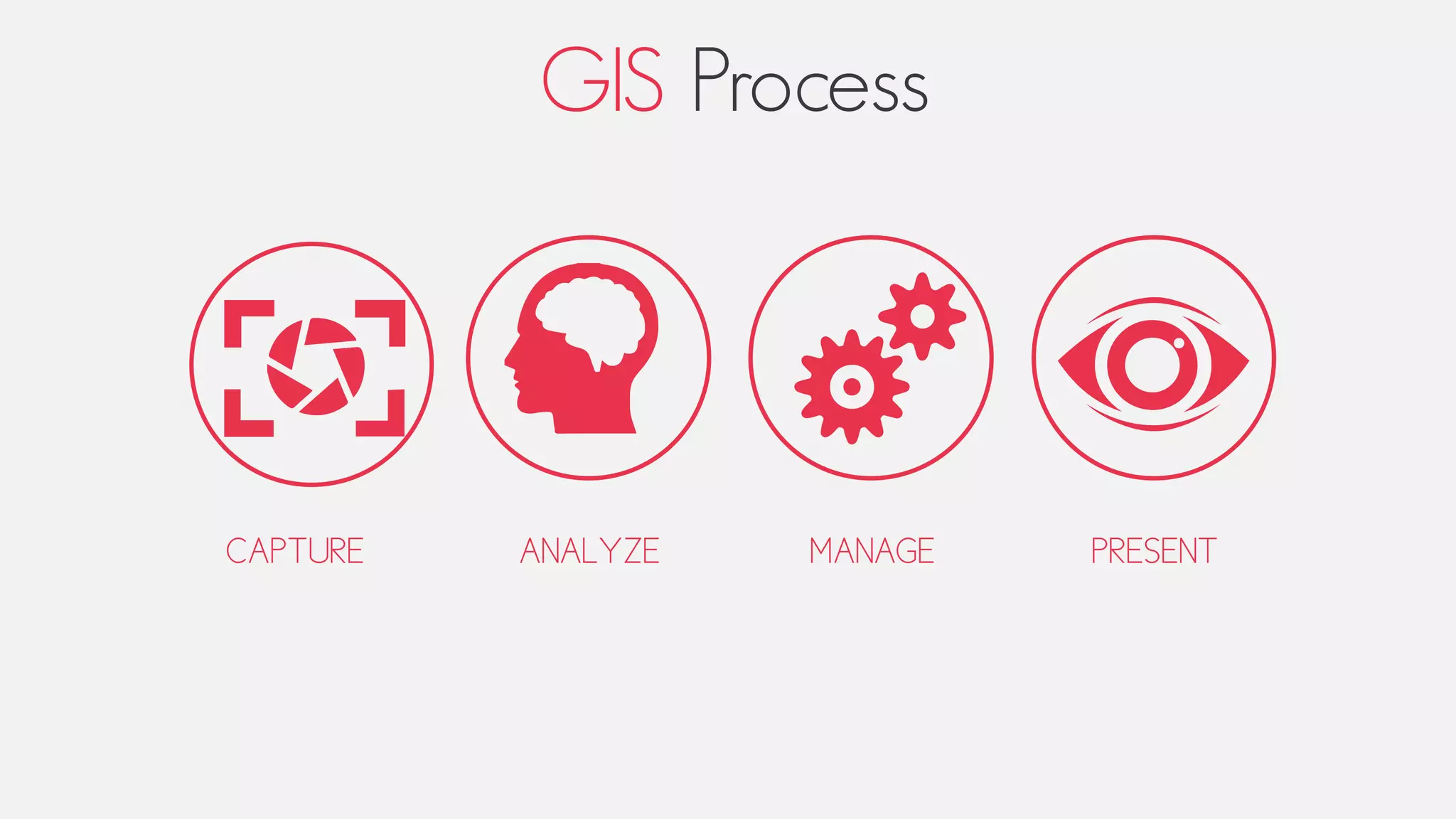
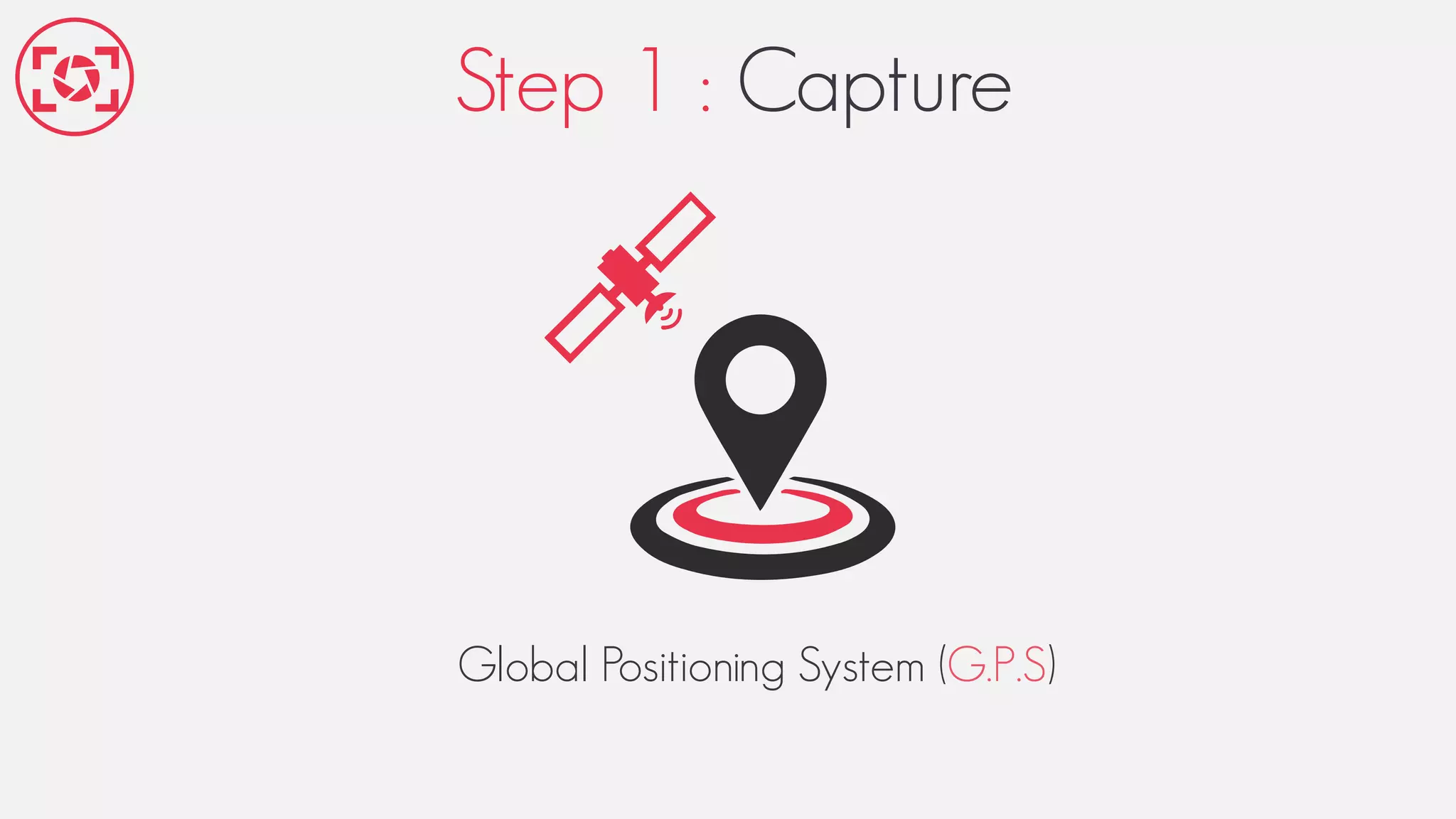
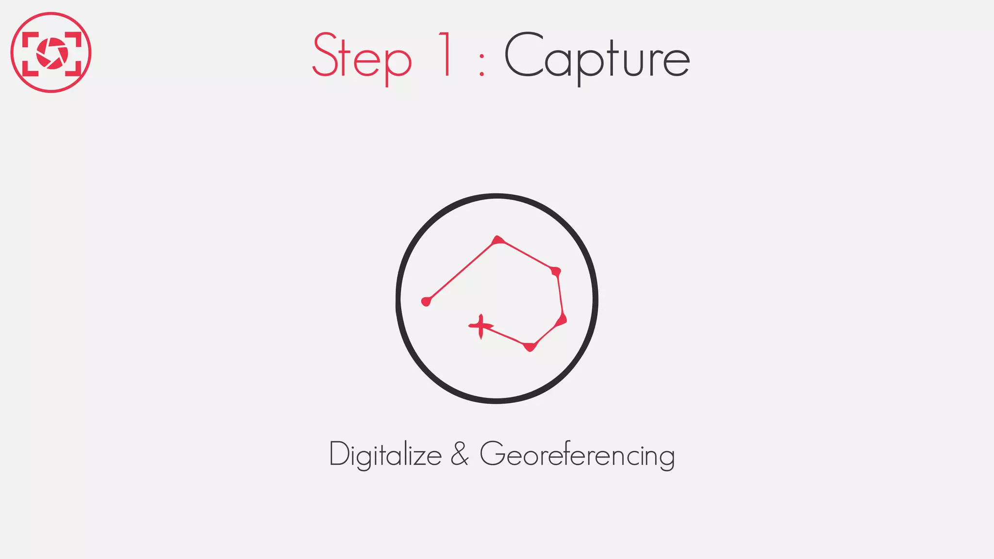
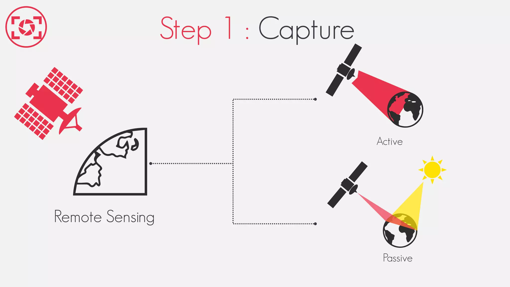
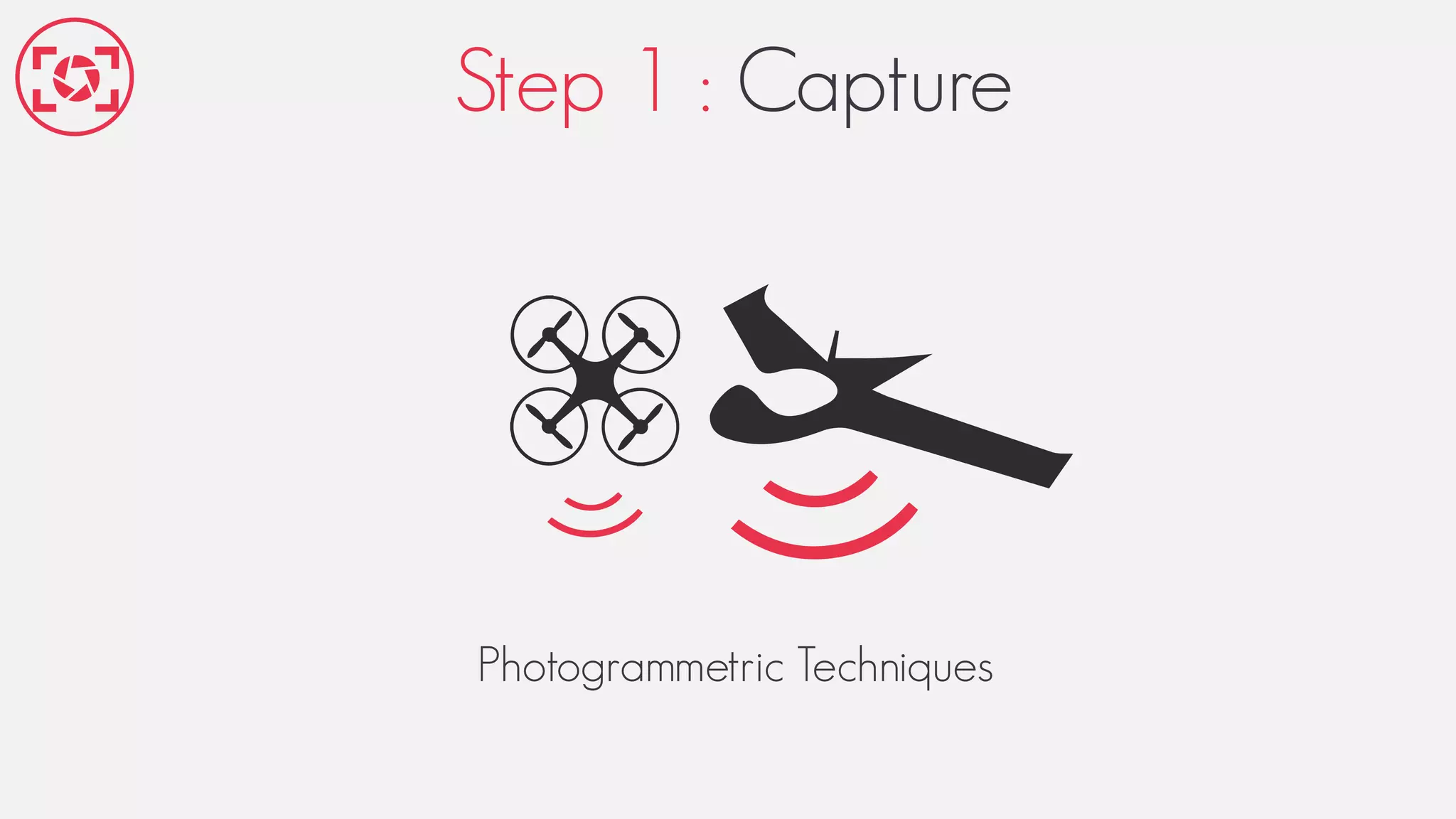
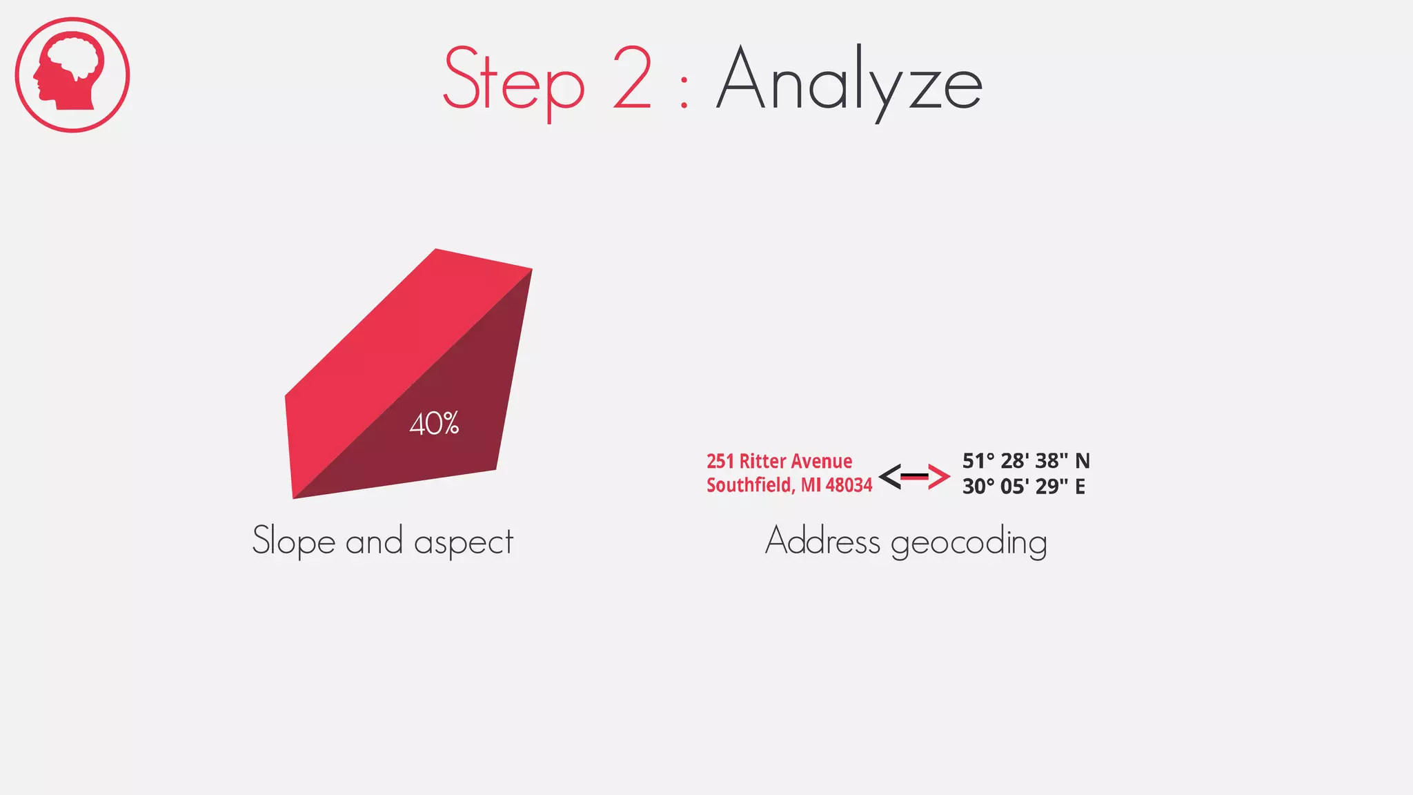
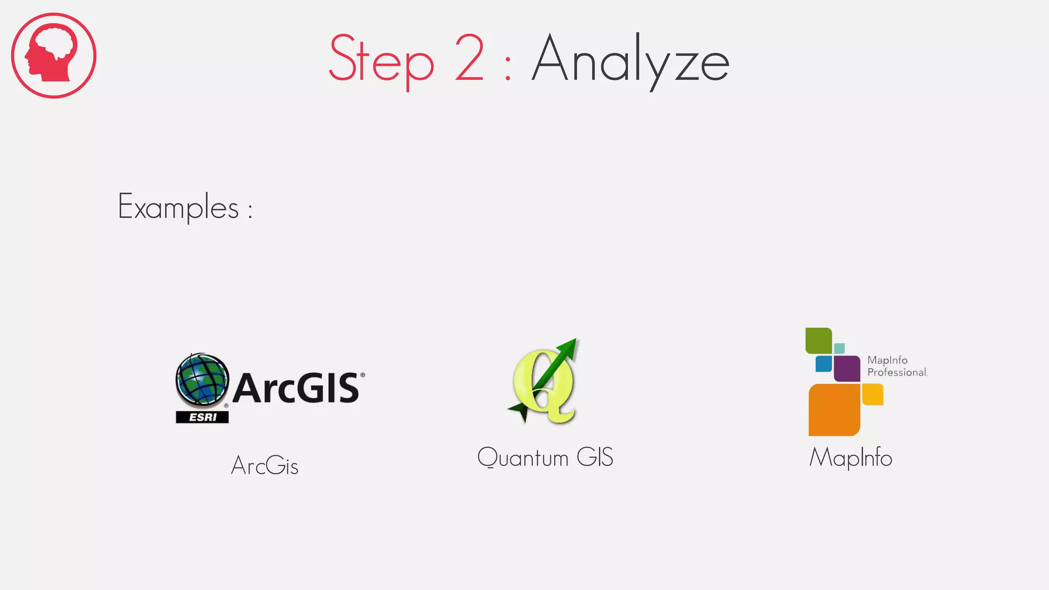
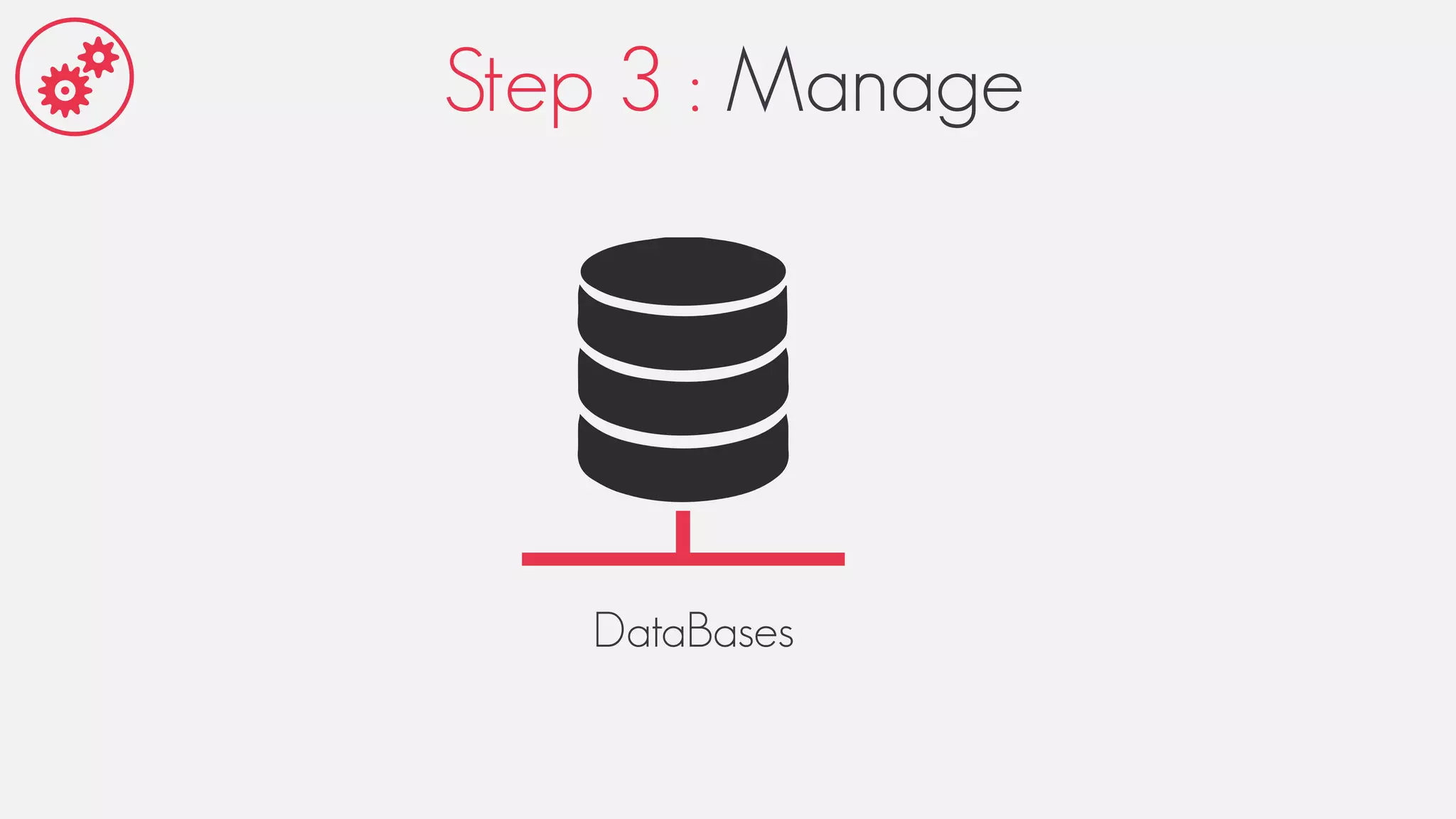
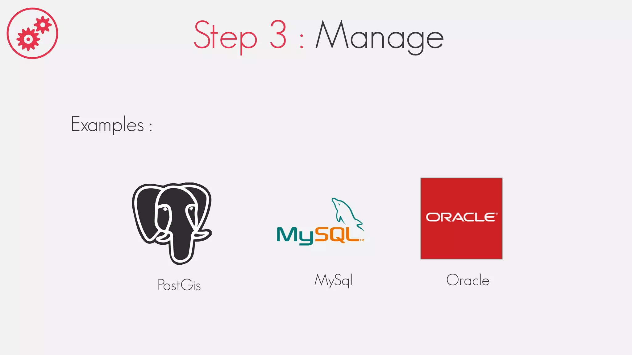
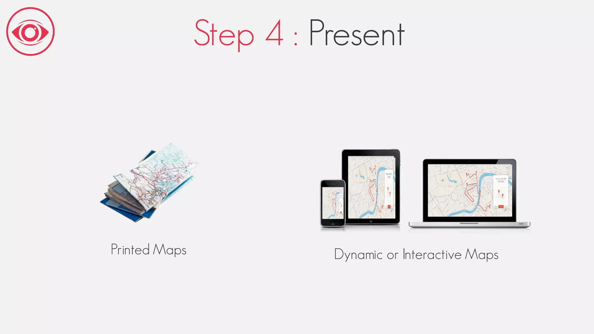
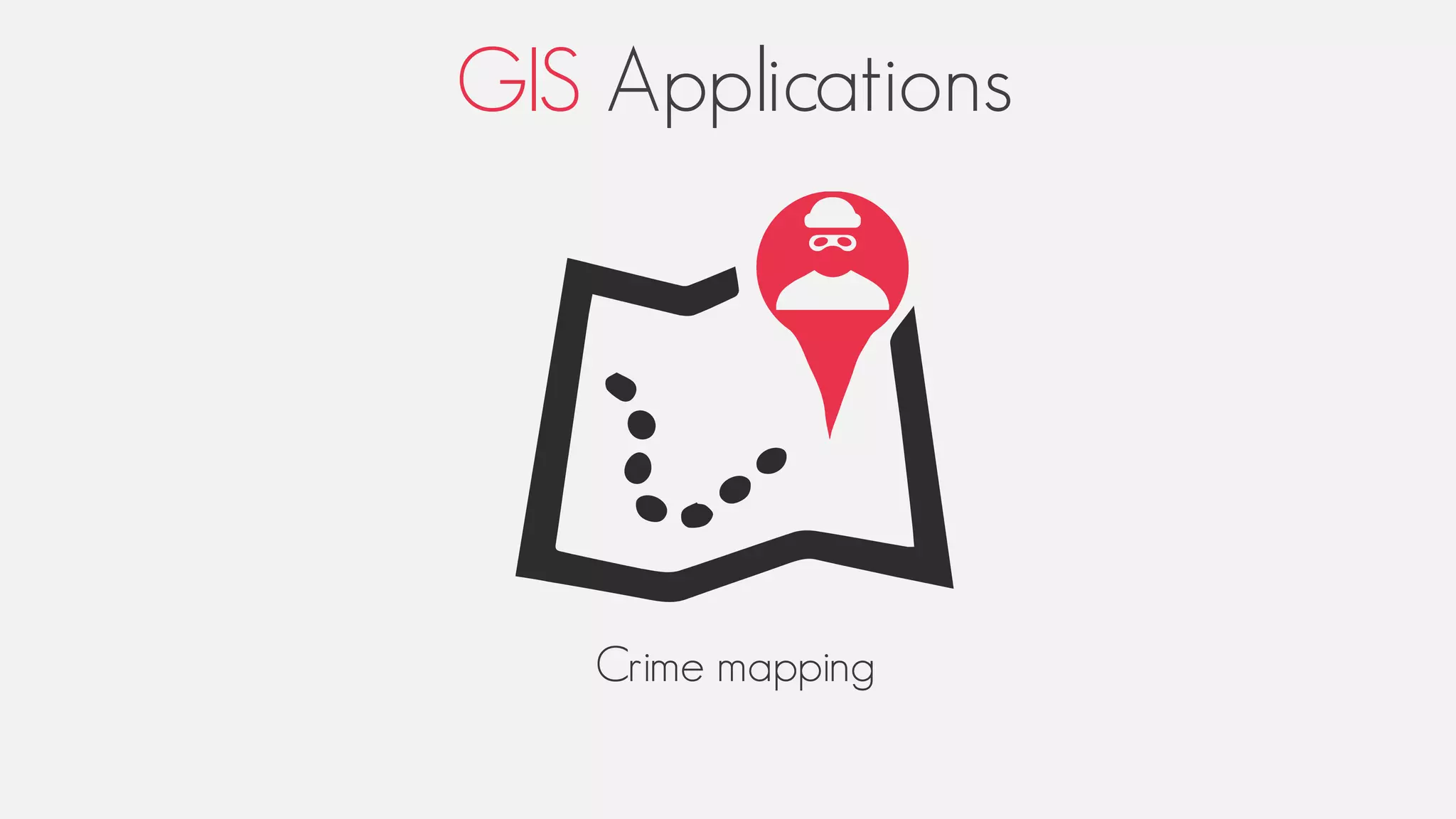
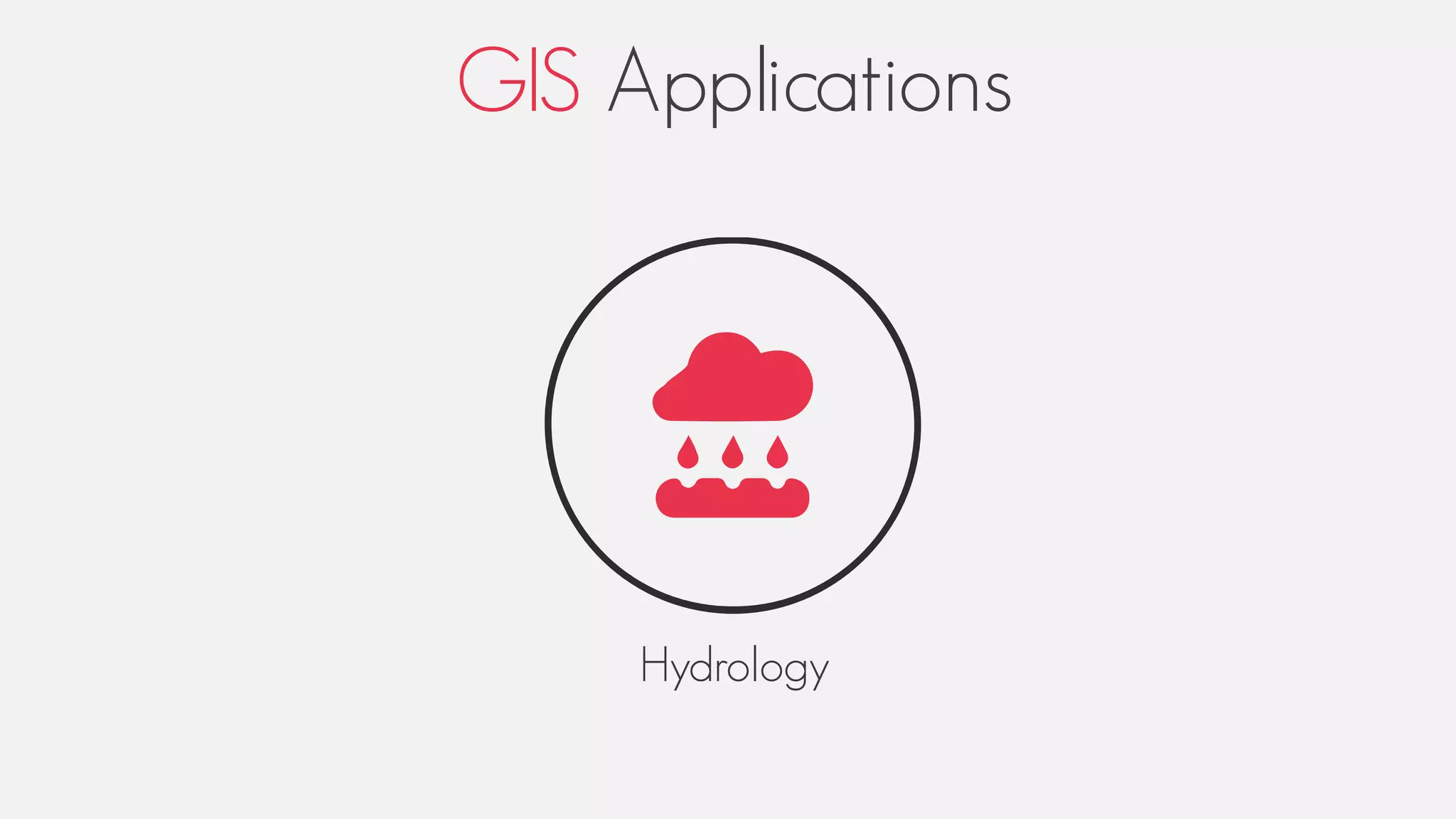
G SThe World is Yours
Created By Ahmed El Atari
Geographical
nformation
System
Plan
Introduction
I. History of GIS
II. What is GIS ?
III. What is Geographical Data ?
IV. GIS Process
1. Capture
2. Manage
3. Analyze
4. Present
V. GIS Applications
Conclusion
Introduction
Big Bang
Ancient Human
Travel
Map
History of GIS
1832
deaths by cholera per 1,000 inhabitants
Charles Picquet
Color Gradient Map
“ France ”
History of GIS
John Snow
“ London”
Geographic methodology in epidemiology
1854
History of GIS
Water
Vegetation
Elevation
Structures
History of GIS
Plastic film
History of GIS
Roger Tomlinson
1960
Ottawa , Canada
Geographic information system ( G.I.S )
Geographic information system (GIS) is a system designed to capture, store,
manipulate, analyze, manage, and present all types of spatial or geographical
data.
The acronym GIS is sometimes used for geographical information science or
geospatial information studies to refer to the academic discipline or career of
working with geographic information systems and is a large domain within the
broader academic discipline of Geoinformatics.,
Capture
Analyze Manage Present
Geographical data
Geographical data
Generally speaking, spatial data represents the location, size and shape of an
object on planet Earth.
Spatial data may also include attributes that provide more information about the
entity that is being represented.
Geographic Information Systems (GIS) or other specialized software applications
can be used to access, visualize, manipulate and analyze geospatial data.
Geographical data
Location / Position
Height
Size / Dimension
Shape
Geographical data
Floors / Rooms
The Name of the residence
Number of inhabitants
Geographical data
GIS Process
CAPTURE ANALYZE MANAGE PRESENT
Step 1 : Capture
Global Positioning System (G.P.S)
Step 1 : Capture
Digitalize & Georeferencing
Step 1 : Capture
Remote Sensing
Active
Passive
Step 1 : Capture
Photogrammetric Techniques
Step 2 : Analyze
Slope and aspect Address geocoding
Step 2 : Analyze
Examples :
ArcGis Quantum GIS MapInfo
Step 3 : Manage
DataBases
Step 3 : Manage
Examples :
PostGis MySql Oracle
Step 4 : Present
Printed Maps Dynamic or Interactive Maps
GIS Applications
GIS Applications
Crime mapping
GIS Applications
Hydrology
GIS Applications
Health Services
Conclusion
Thanks for Watching

GIS