Downloaded 122 times
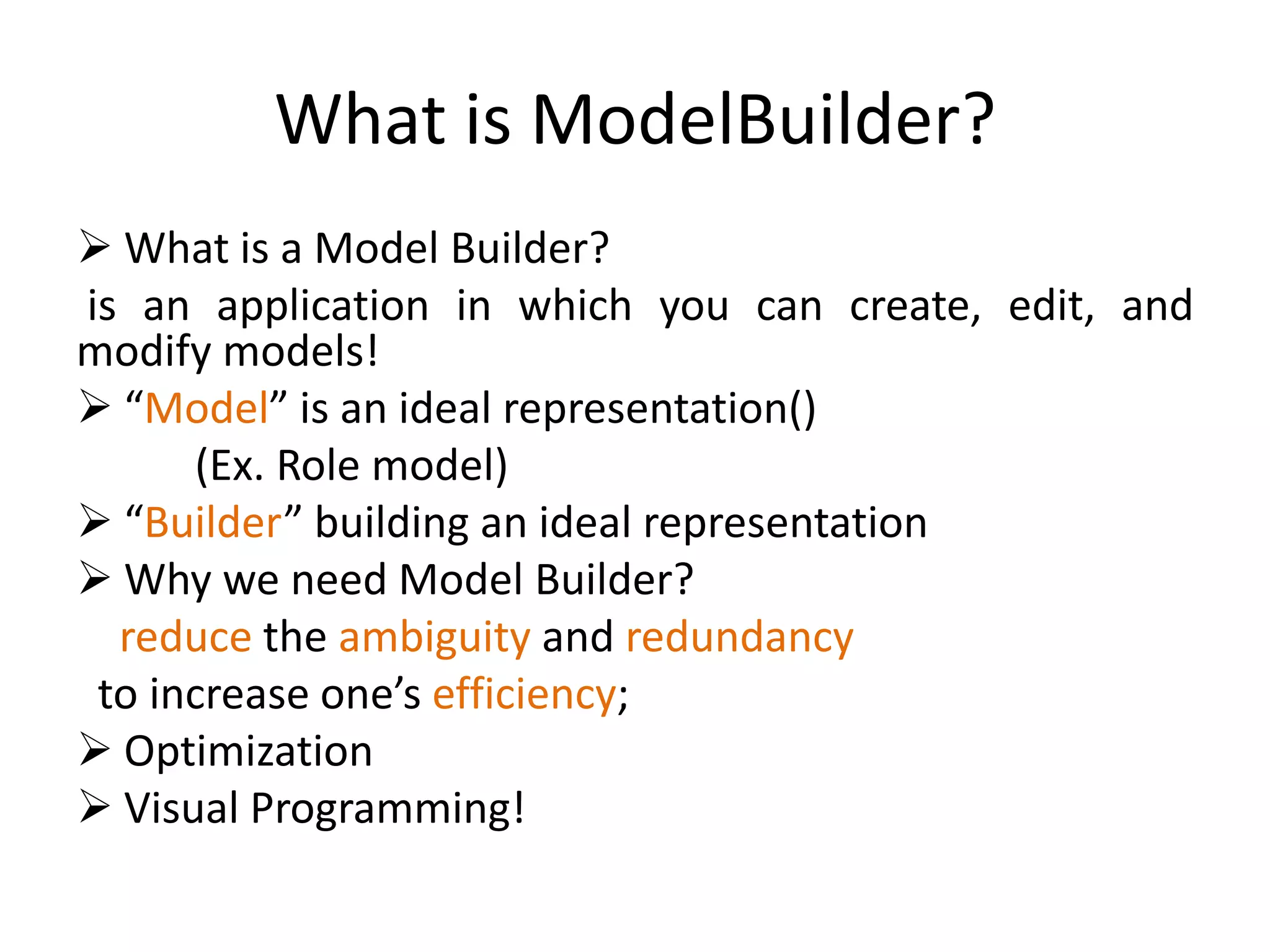
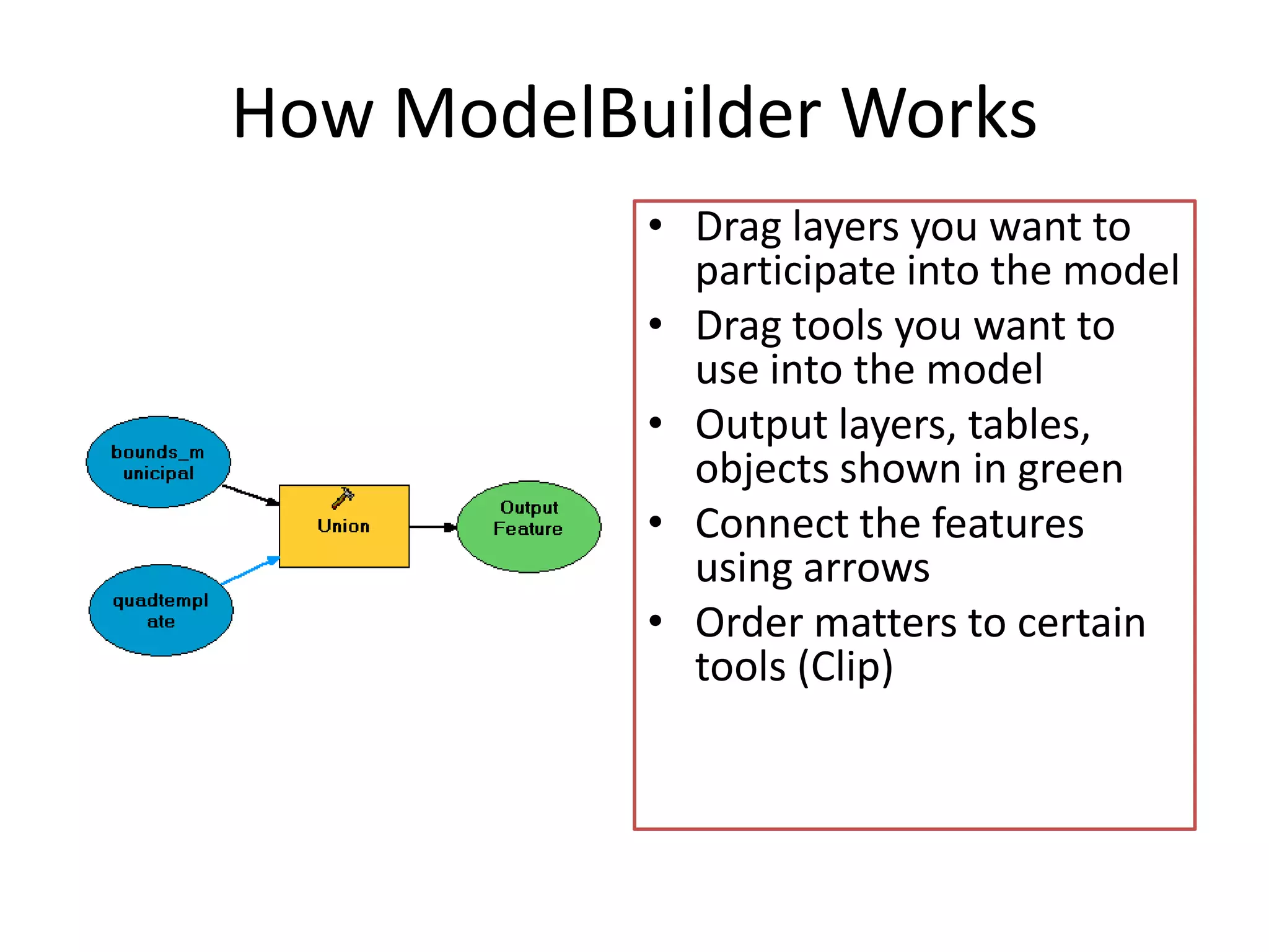
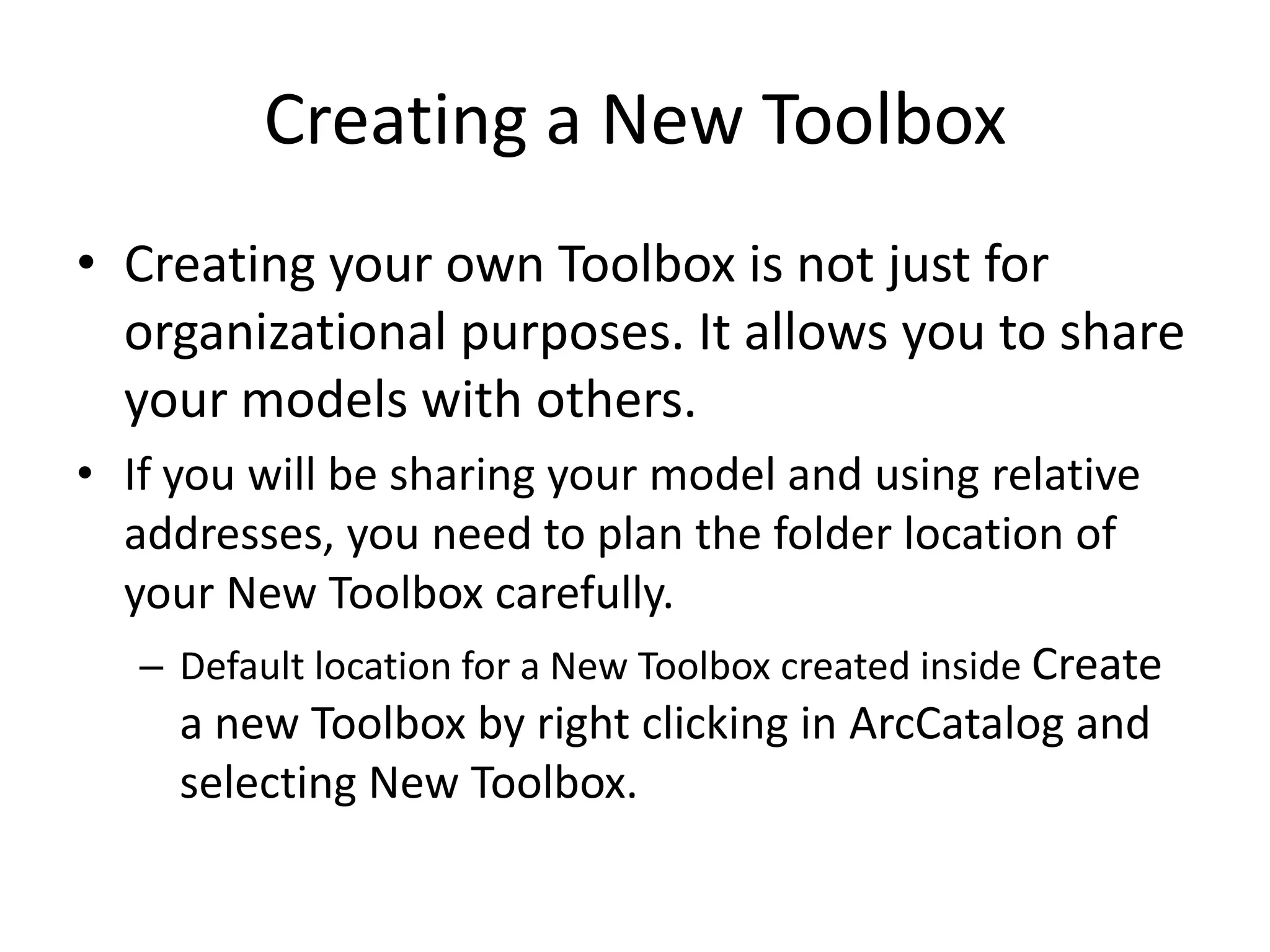
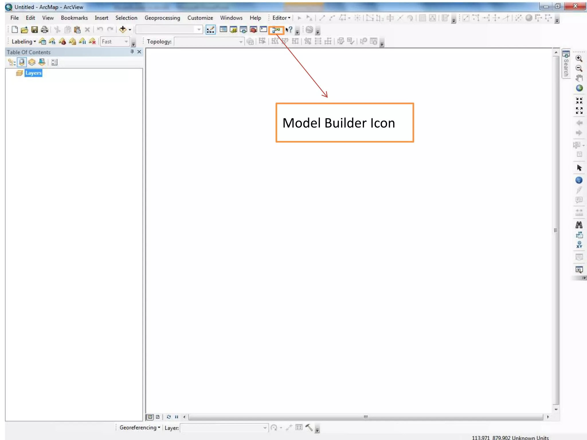
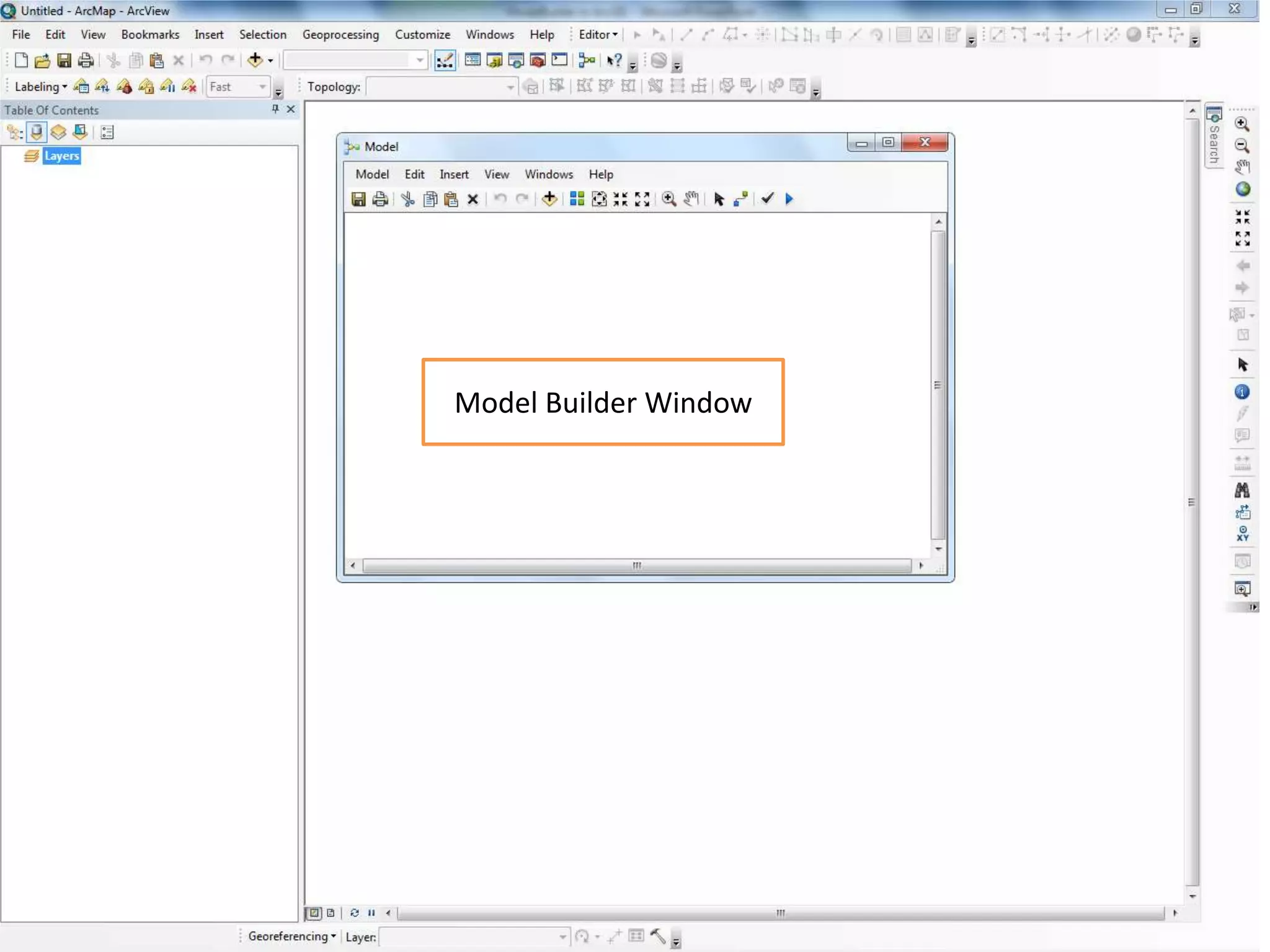
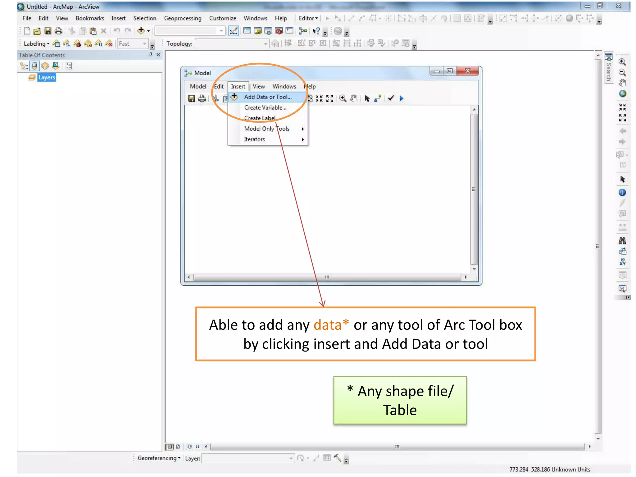


Model Builder in ArcGIS allows users to visually create, edit, and run geospatial models. It provides an interface for stringing together geoprocessing tools, datasets, and other elements in a workflow. Key benefits of Model Builder include simplifying complex workflows, enabling easy reproduction of analyses, and automating repetitive tasks. The visual programming environment in Model Builder allows non-scripting users to leverage the power of geoprocessing tools without writing code. Models can be run, edited, and shared with others to streamline common GIS tasks.


![Vibe Coding vs. Spec-Driven Development [Free Meetup]](https://cdn.slidesharecdn.com/ss_thumbnails/vibecodingvsspecdrivendevelopment-251209105622-43f455e7-thumbnail.jpg?width=640&height=640&fit=bounds)


![Coded Agents – with UiPath SDK + LangGraph [Virtual Hands-on Workshop]](https://cdn.slidesharecdn.com/ss_thumbnails/codedagentsdeck-251215155422-5497c599-thumbnail.jpg?width=640&height=640&fit=bounds)


