Downloaded 199 times

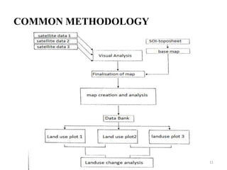

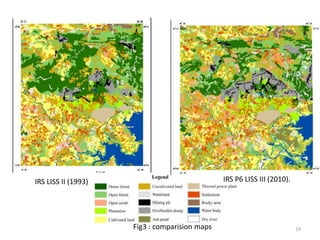
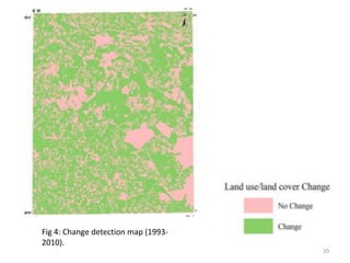
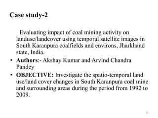
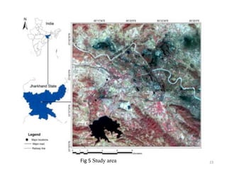


The document discusses two case studies that analyze the impact of coal mining on land use and land cover over time using remote sensing and GIS techniques. Both studies find that coal mining activities have significantly degraded forests and agricultural lands through the creation of mining pits and dumping of overburden materials. The first case study examines changes between 1993 and 2010 around Singrauli, India, finding increases in mining and settlements and decreases in forests and water bodies. The second assesses changes from 1992 to 2009 in South Karanpura, India, documenting total forest destruction near some mines. Both studies demonstrate the ability of remote sensing and GIS to accurately measure and monitor land use/cover changes over periods of mining.


