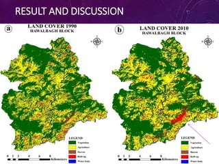
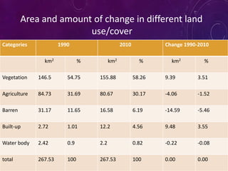
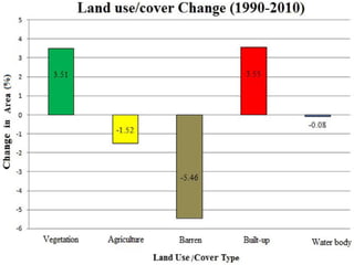
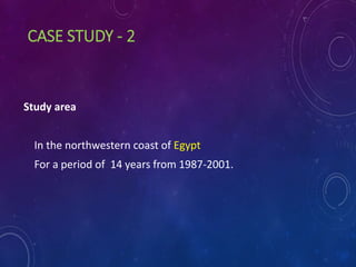
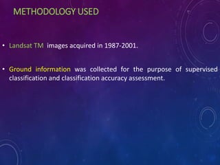
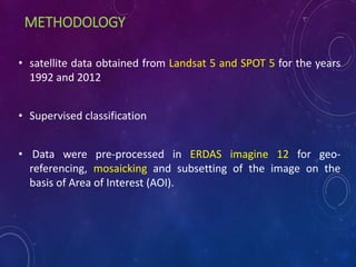
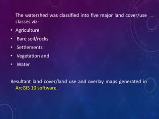
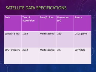
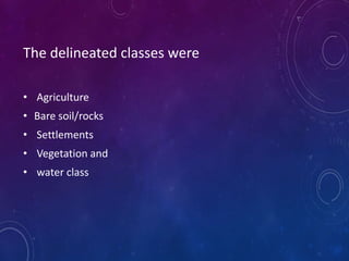
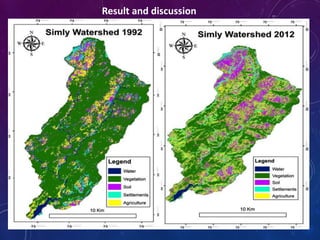
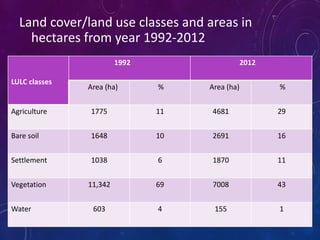
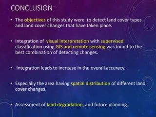
This document summarizes three case studies that used remote sensing and GIS techniques to analyze land use and land cover change over time. The first case study analyzed changes from 1990-2010 in Hawalbagh, India using Landsat imagery. It found increases in built-up land and decreases in barren land. The second studied coastal Egypt from 1987-2001 using Landsat, identifying 8 land cover classes. The third examined Simly watershed, Pakistan from 1992-2012 using Landsat and SPOT data, finding increases in agriculture and decreases in vegetation. All three used supervised classification and post-classification comparison to analyze land use/cover changes.