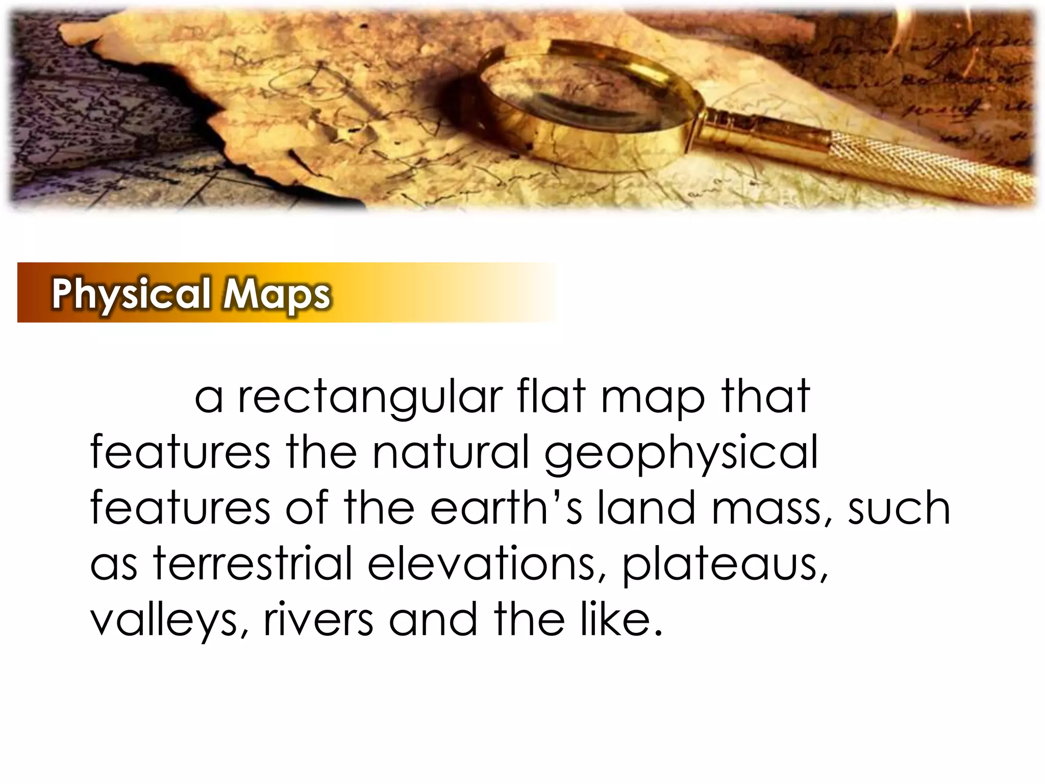
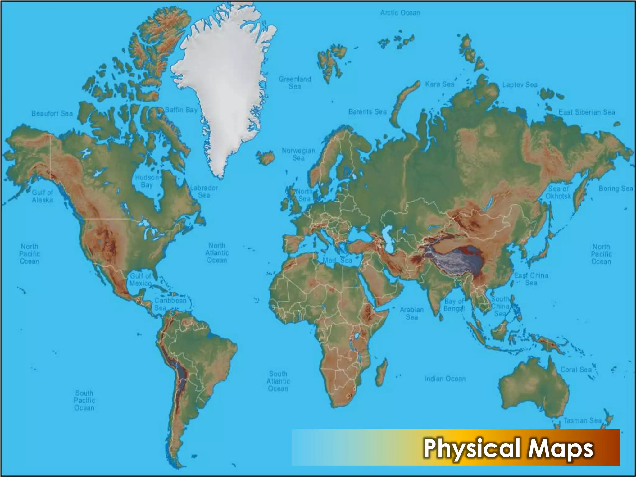

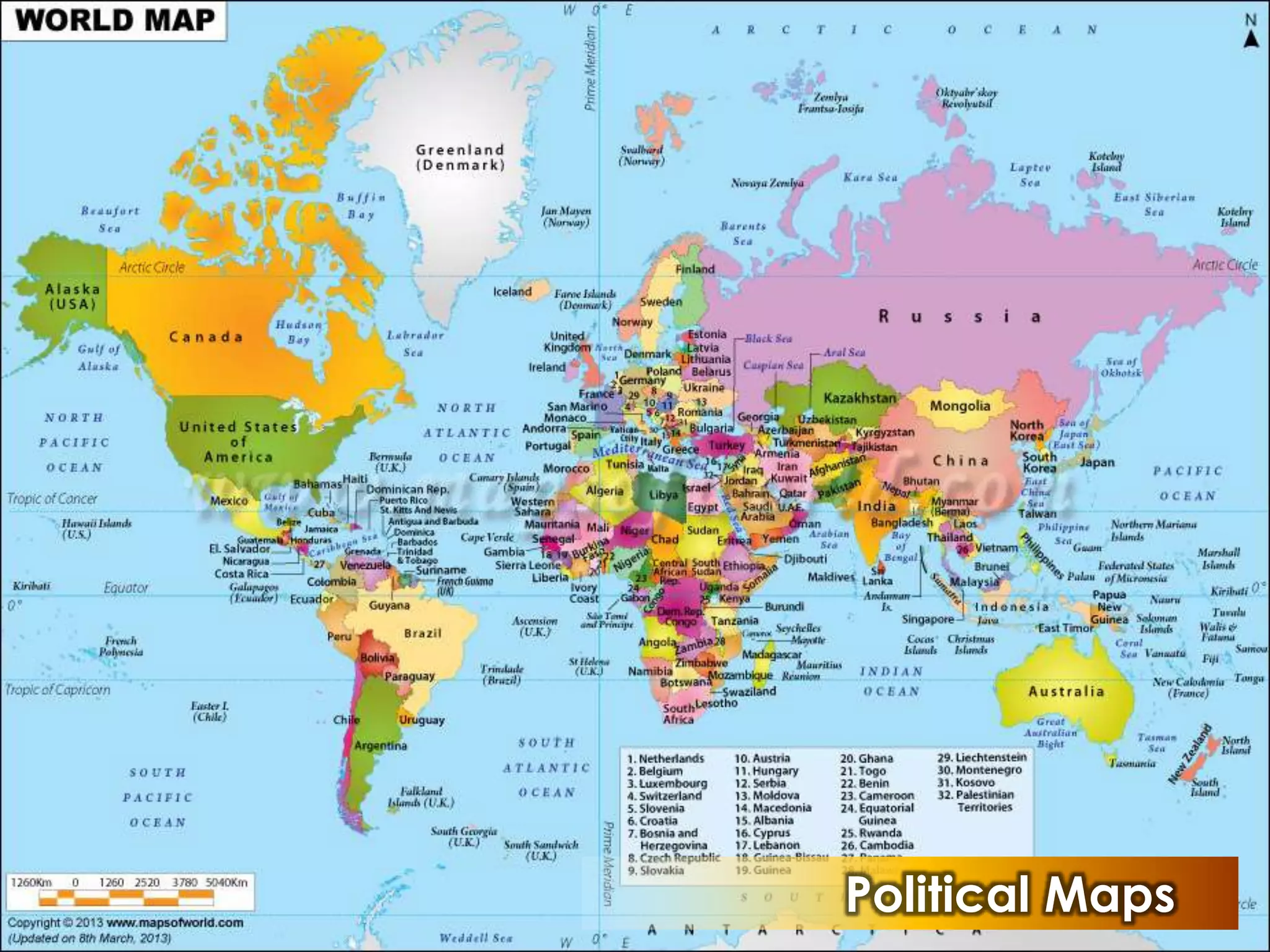
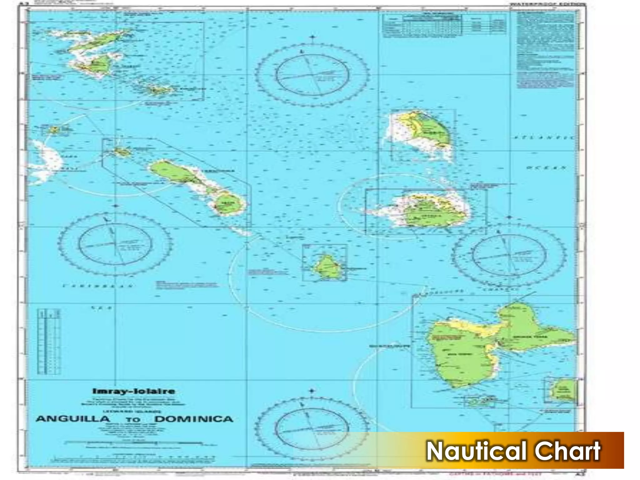
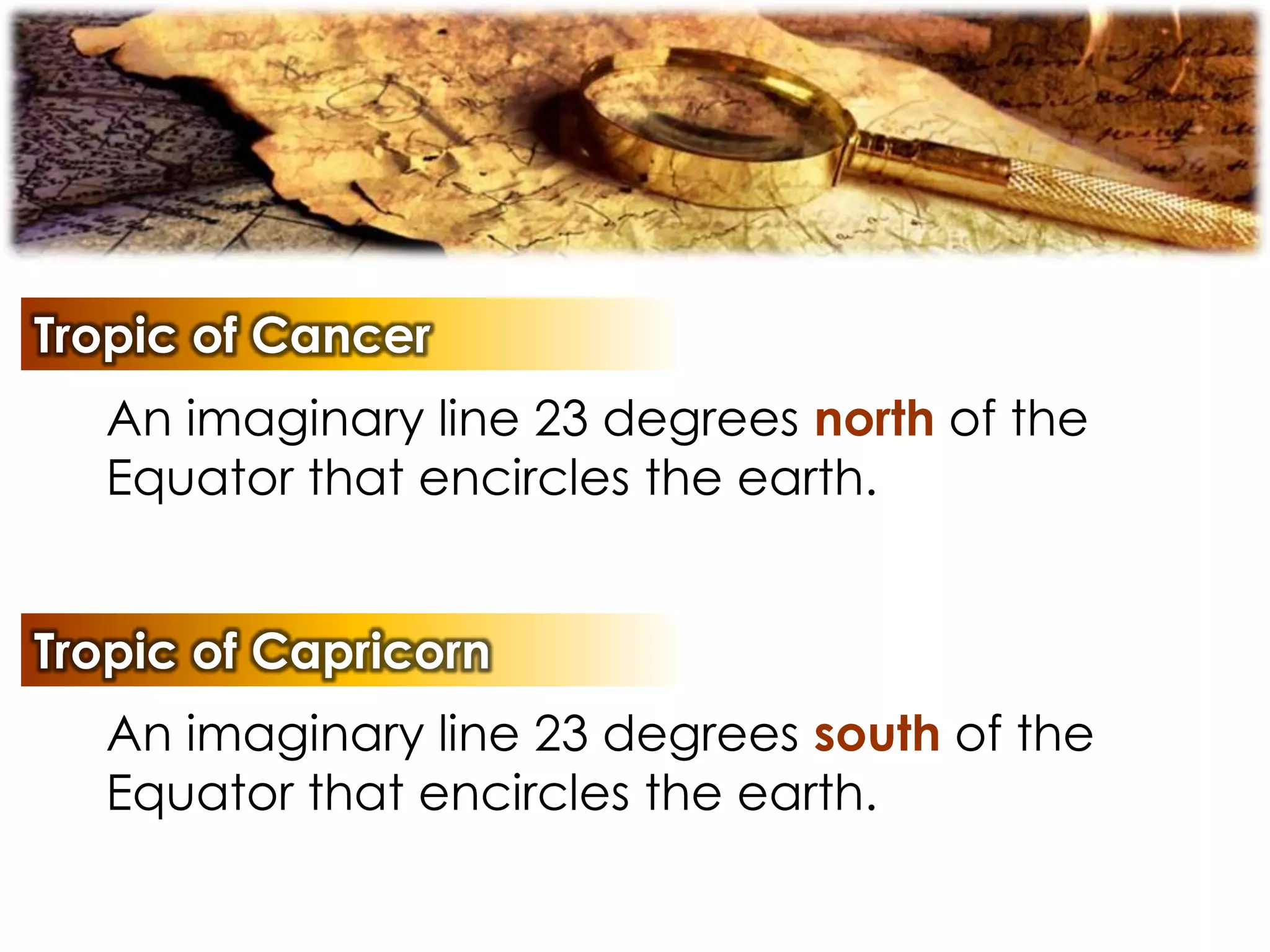
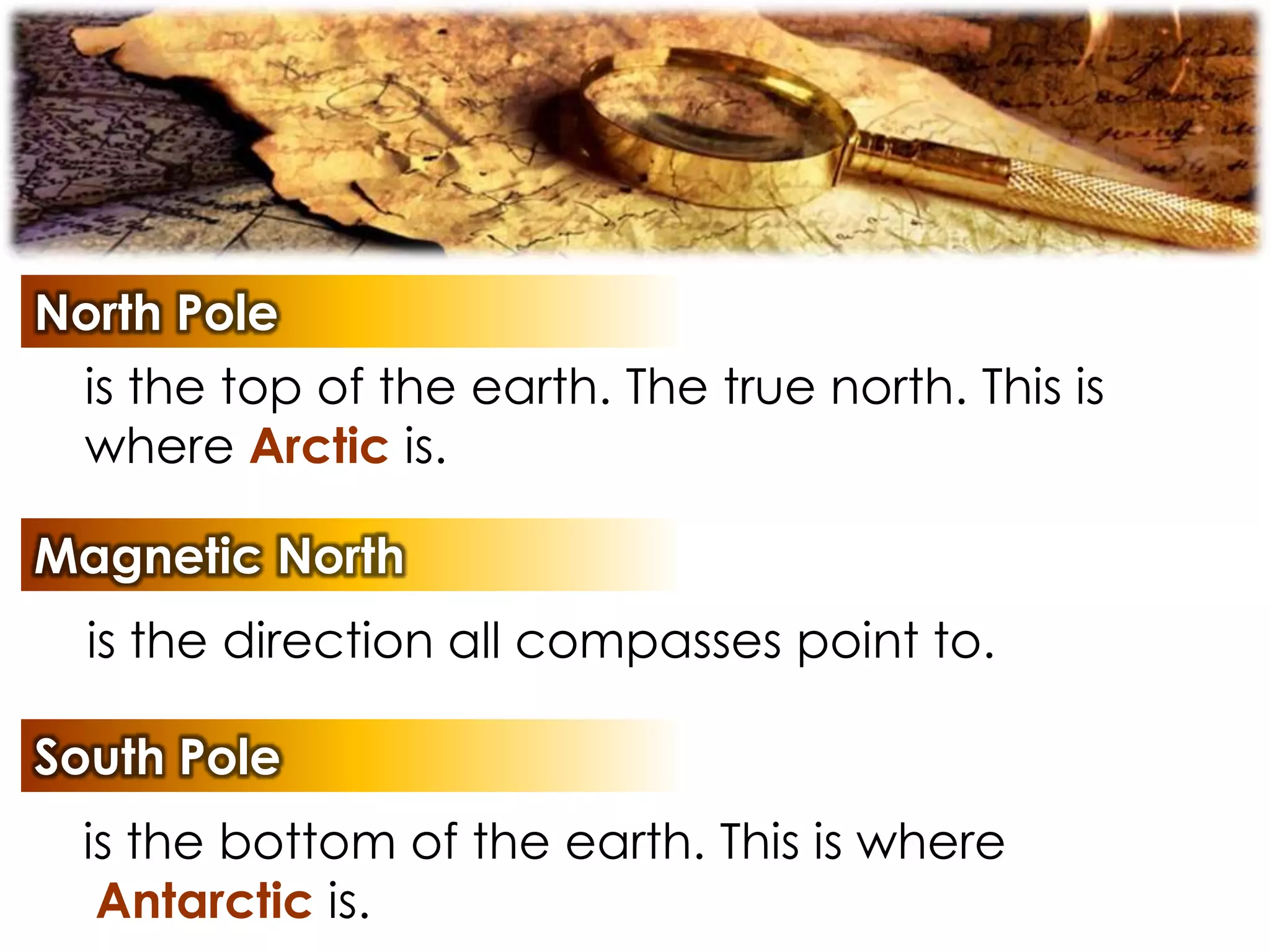
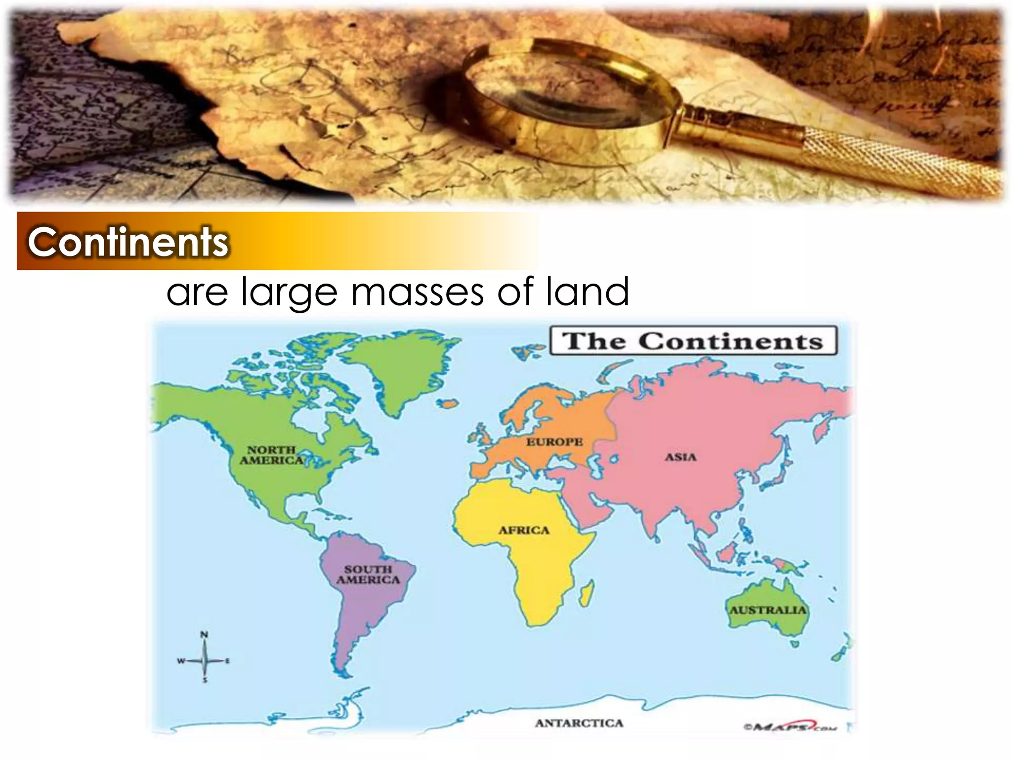
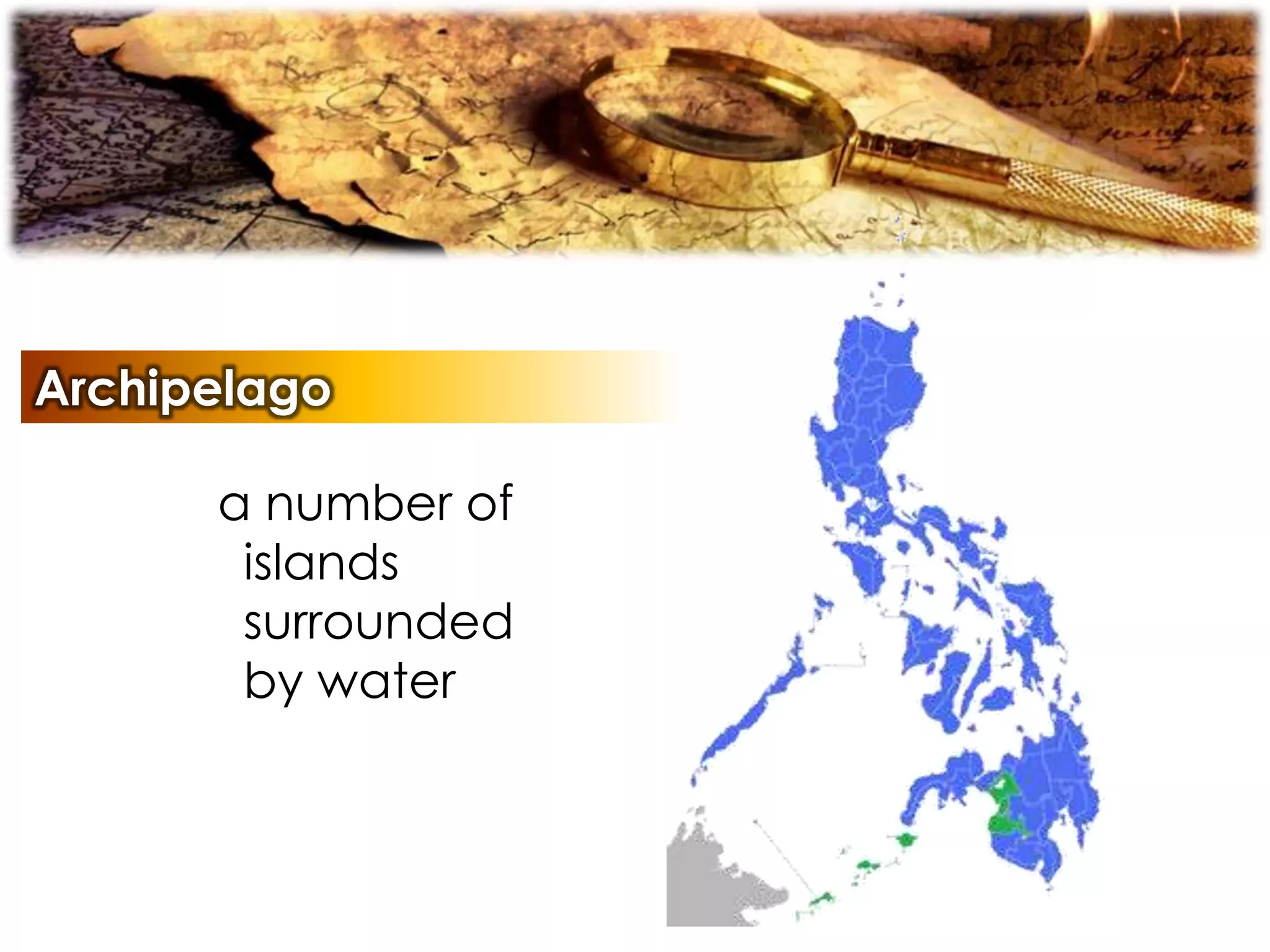
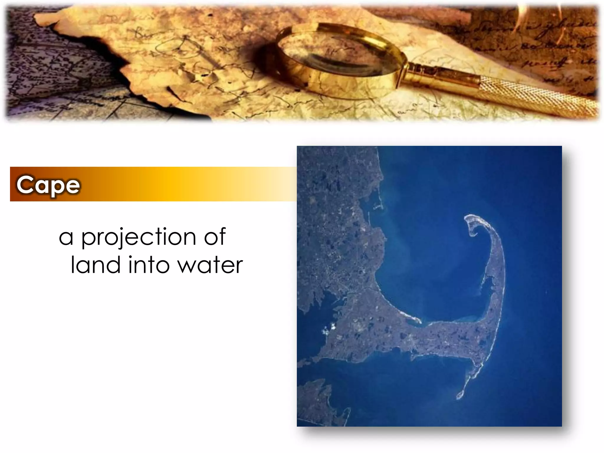
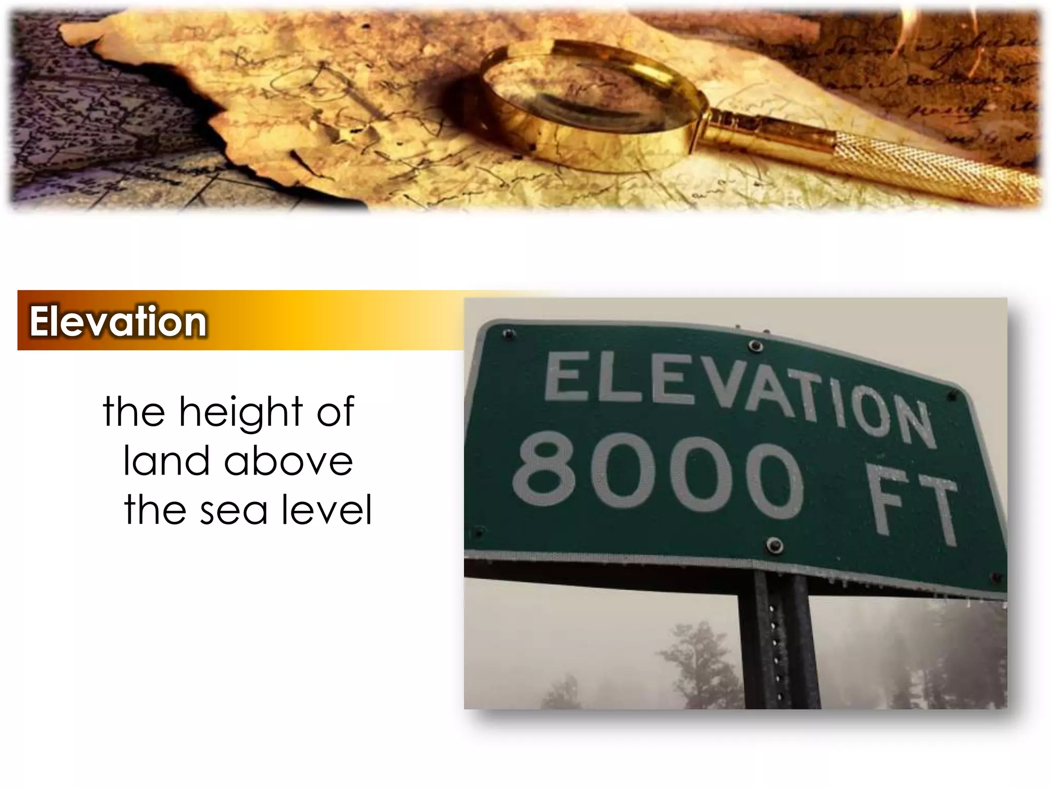
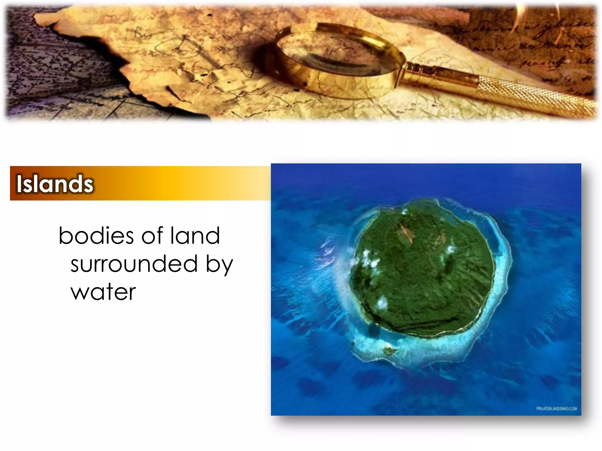
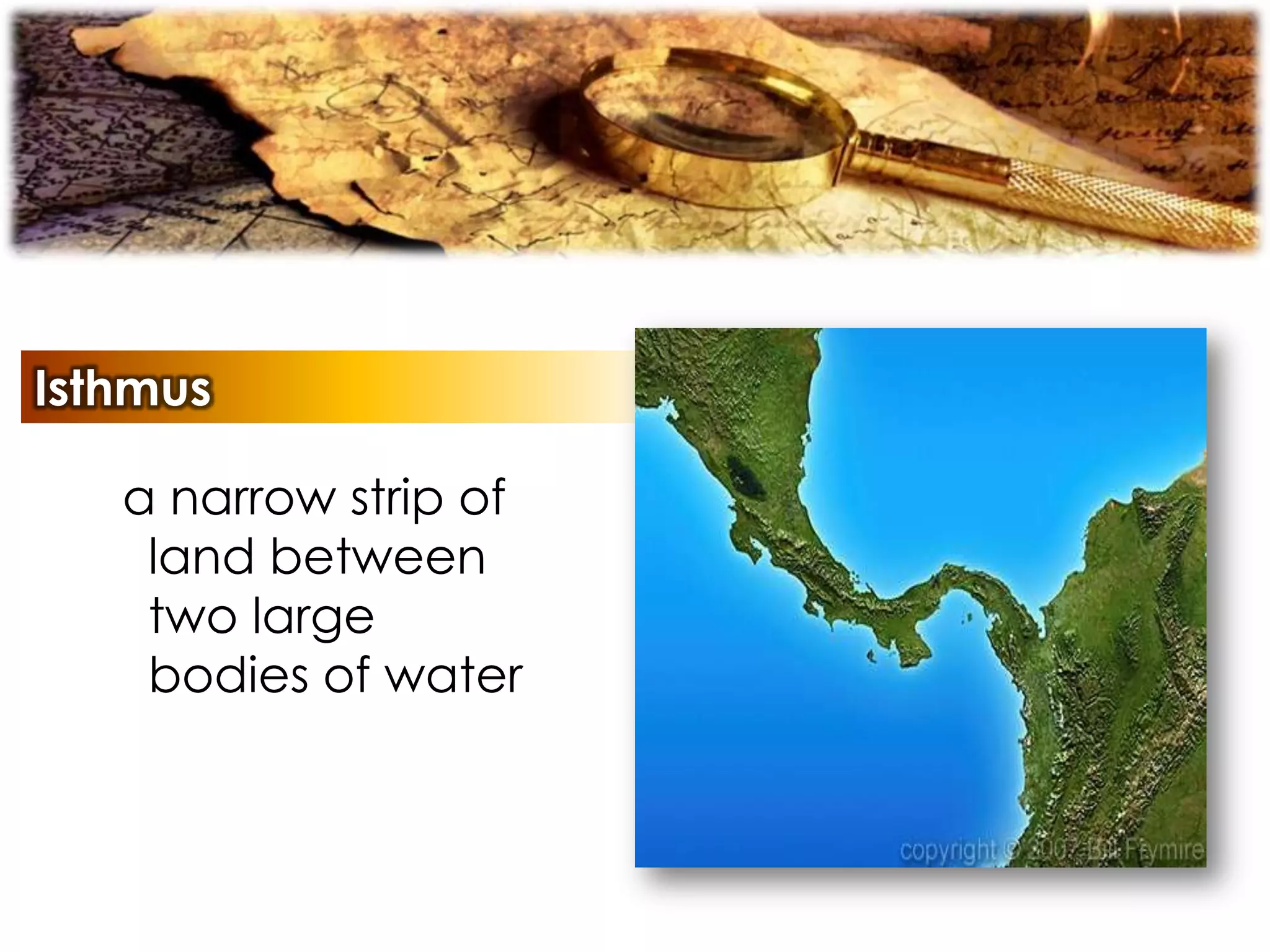
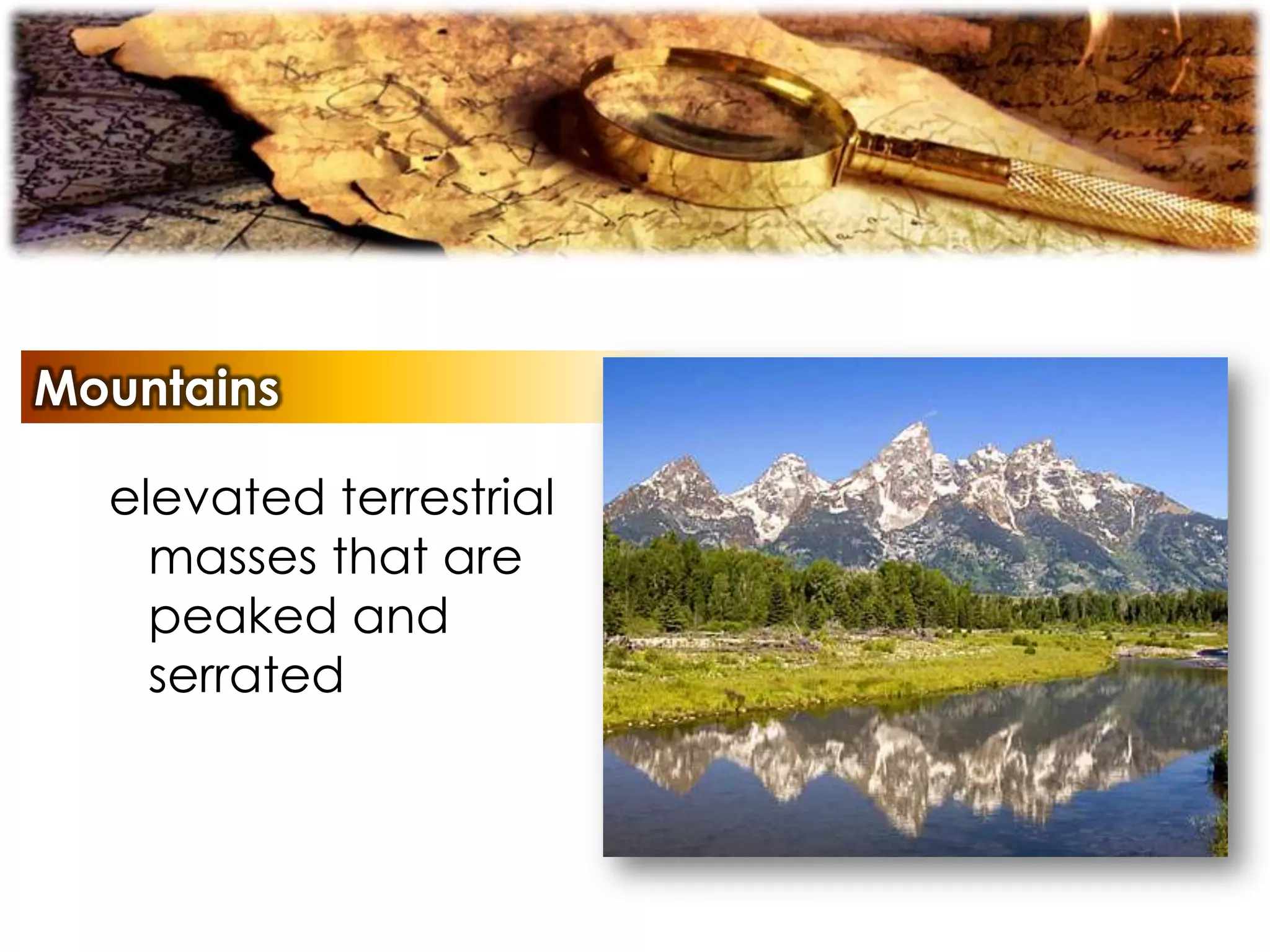
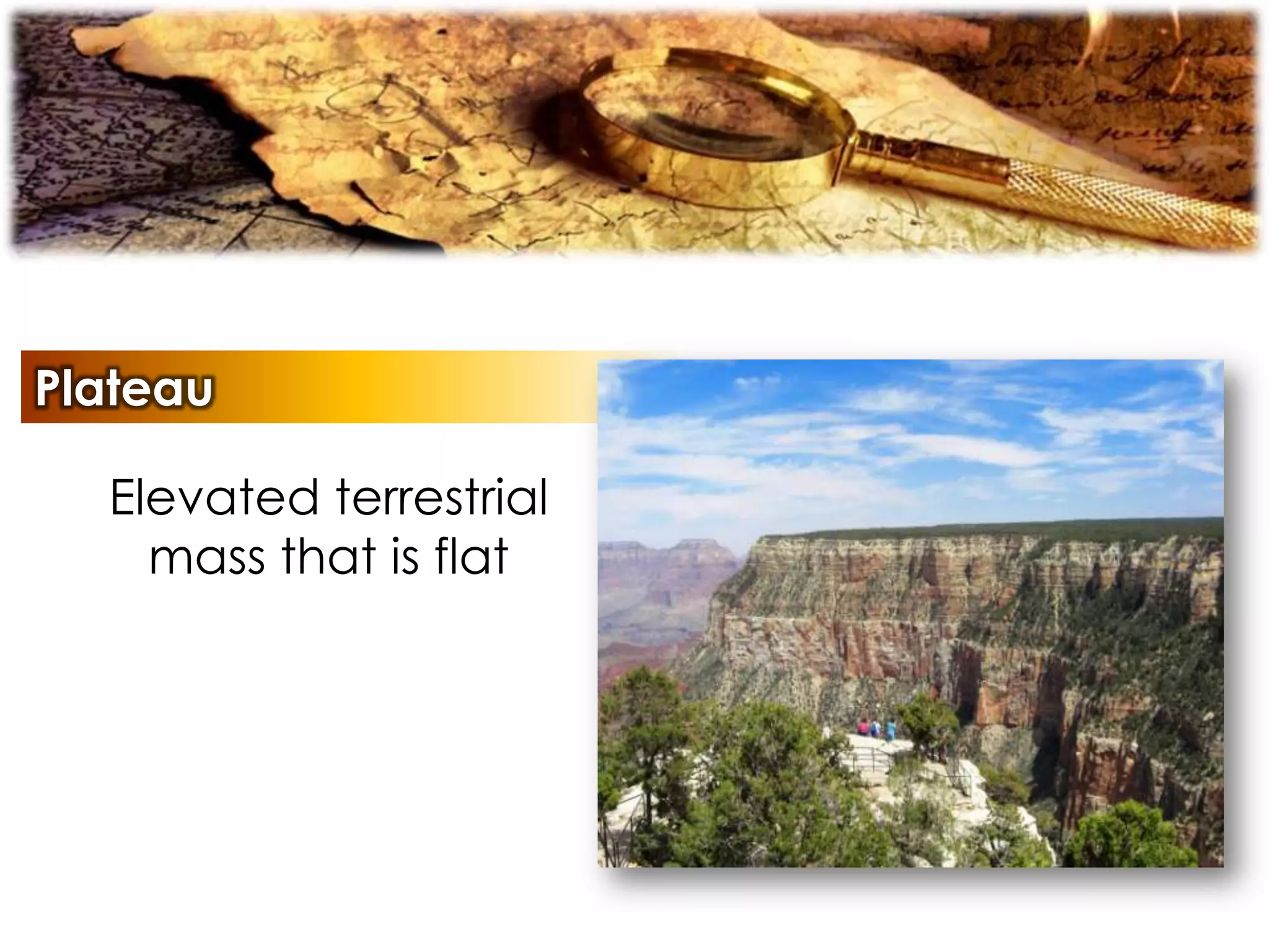
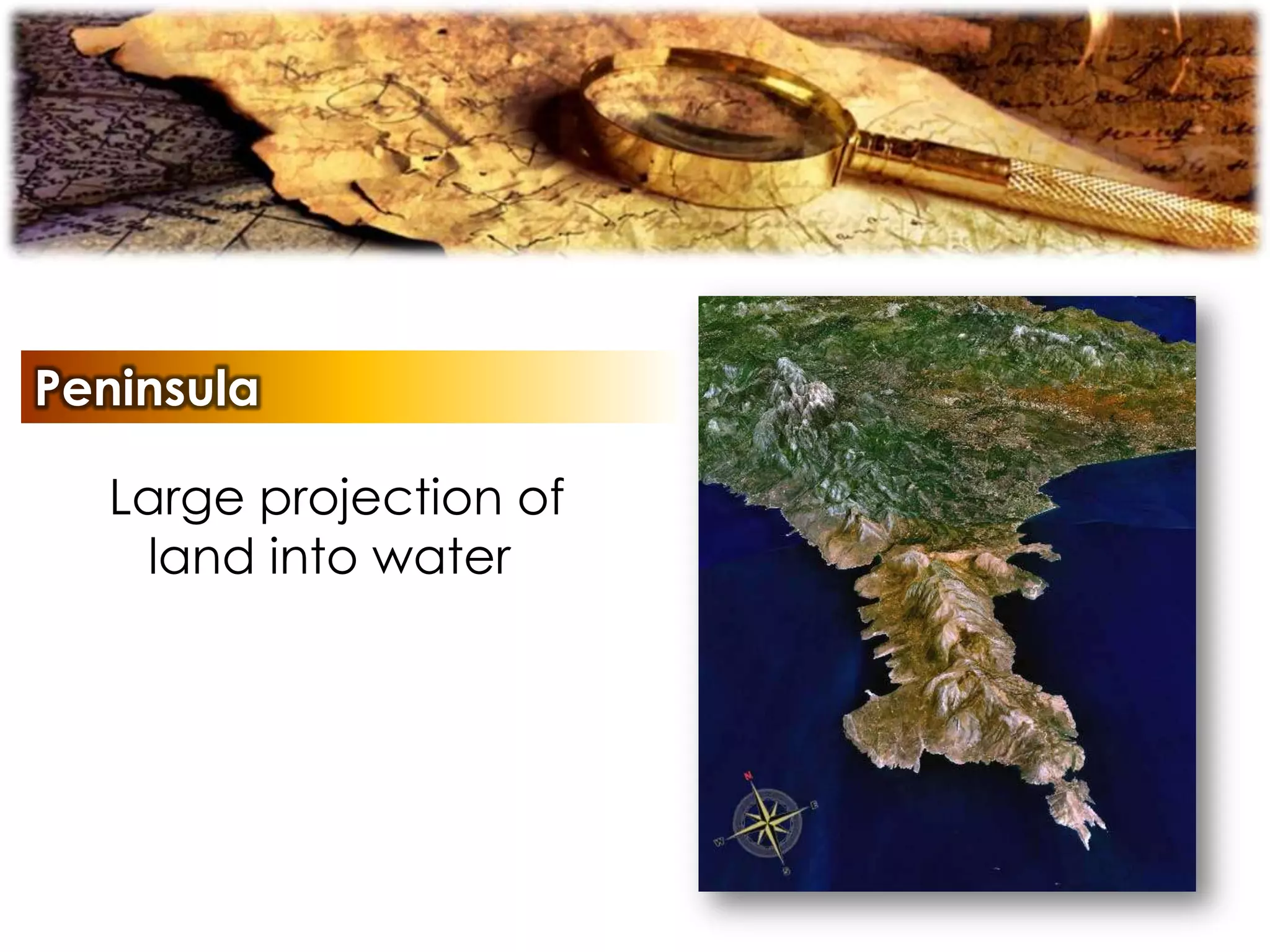
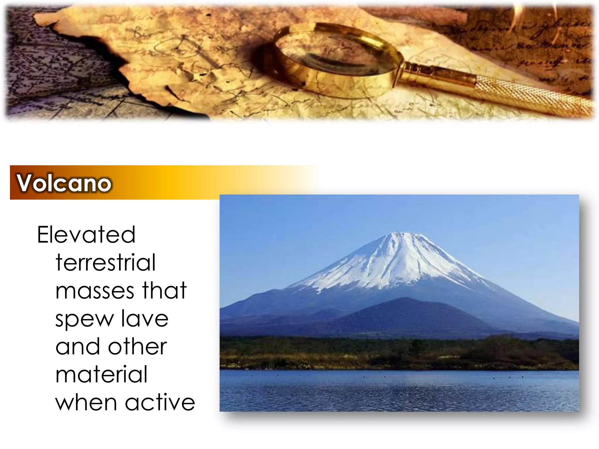
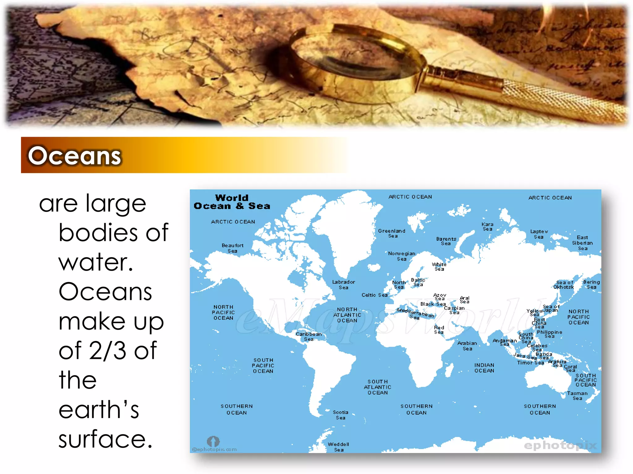
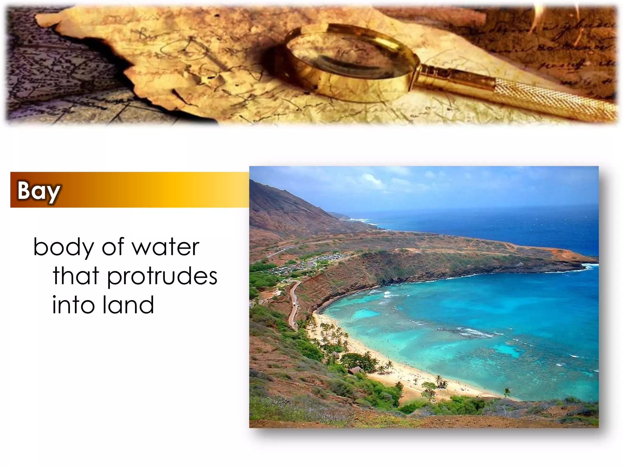
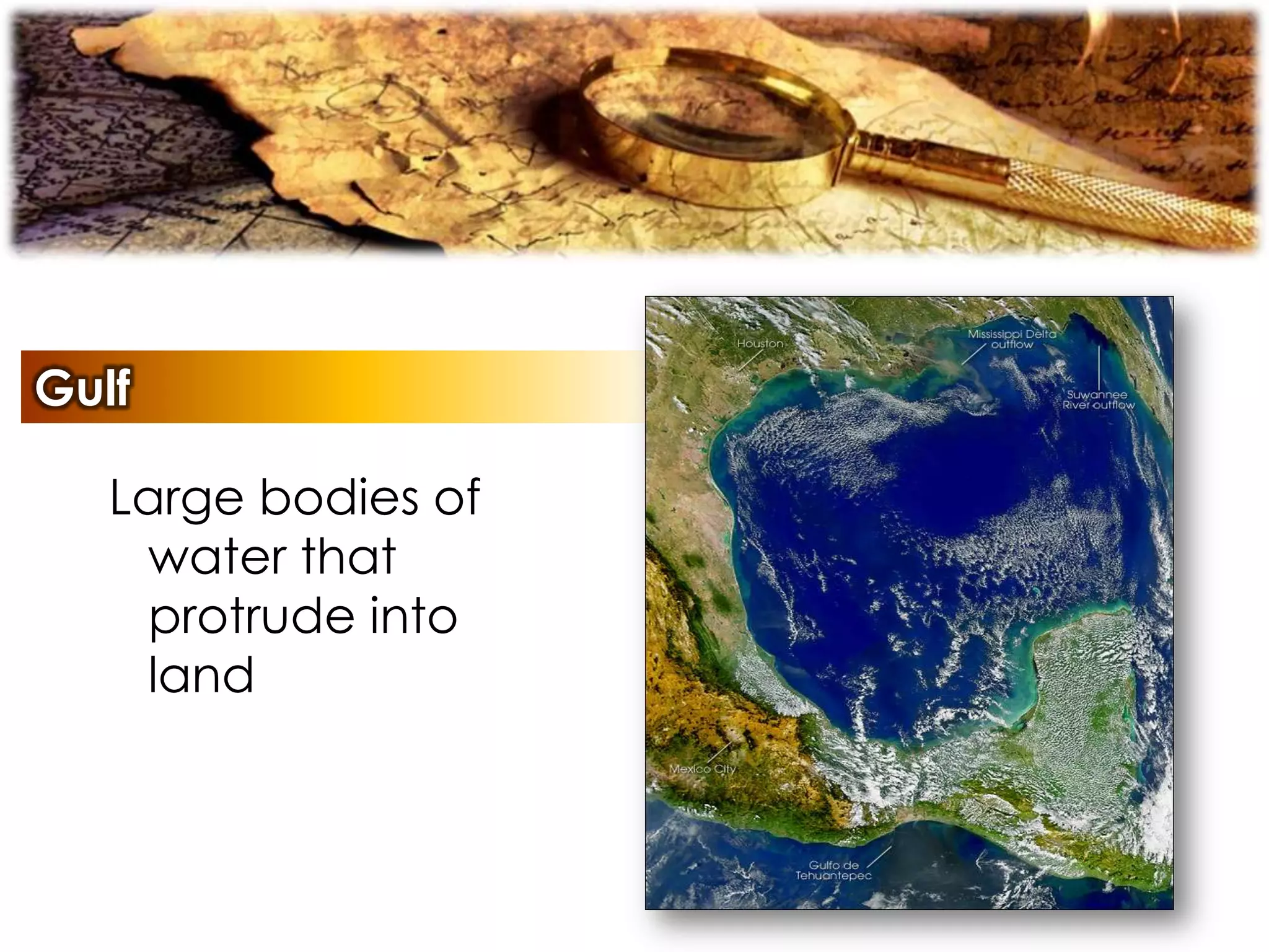
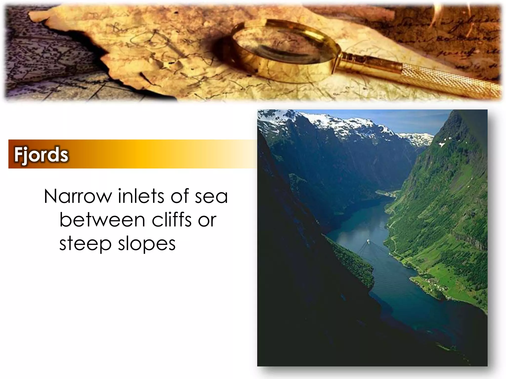
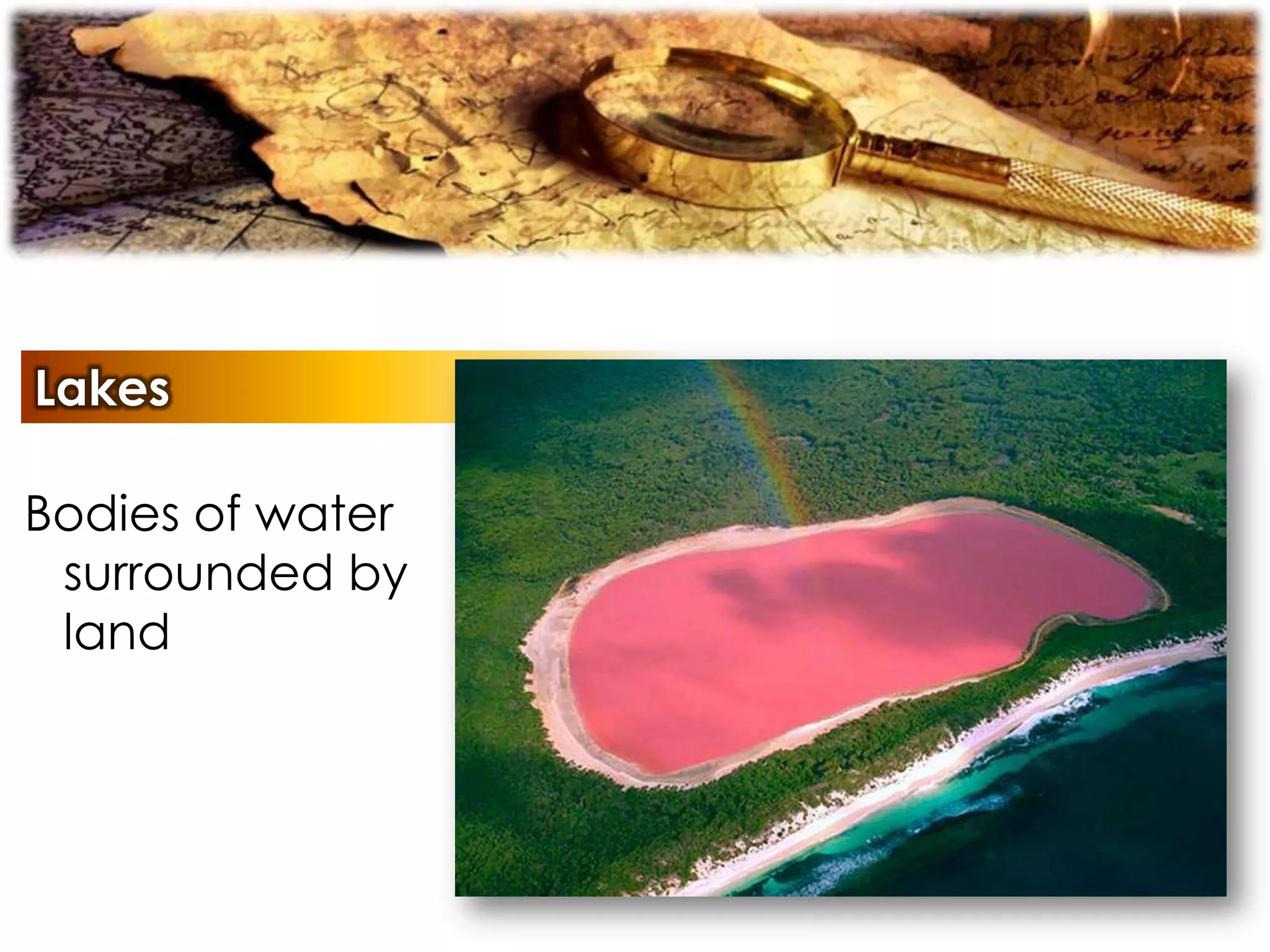
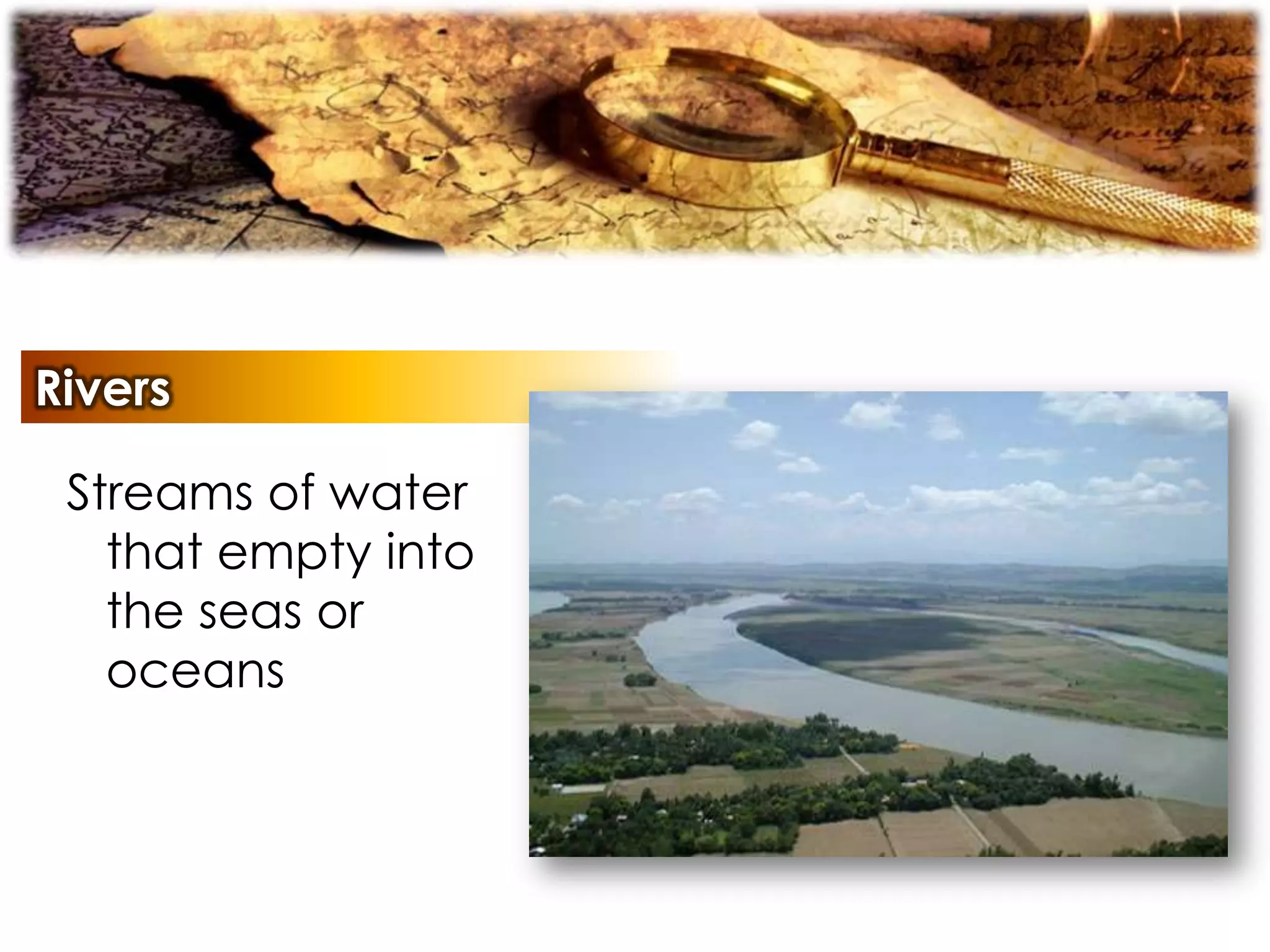
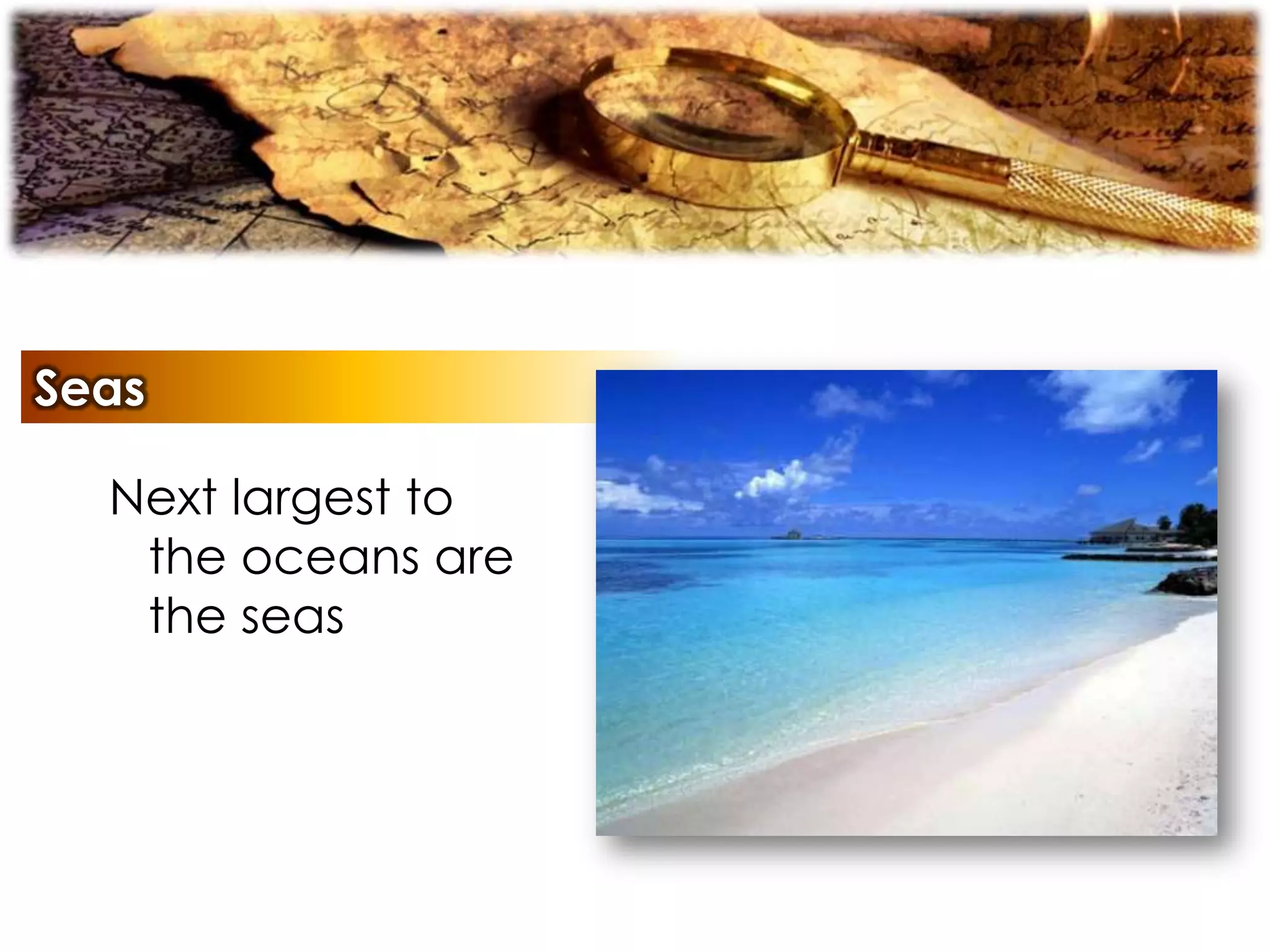
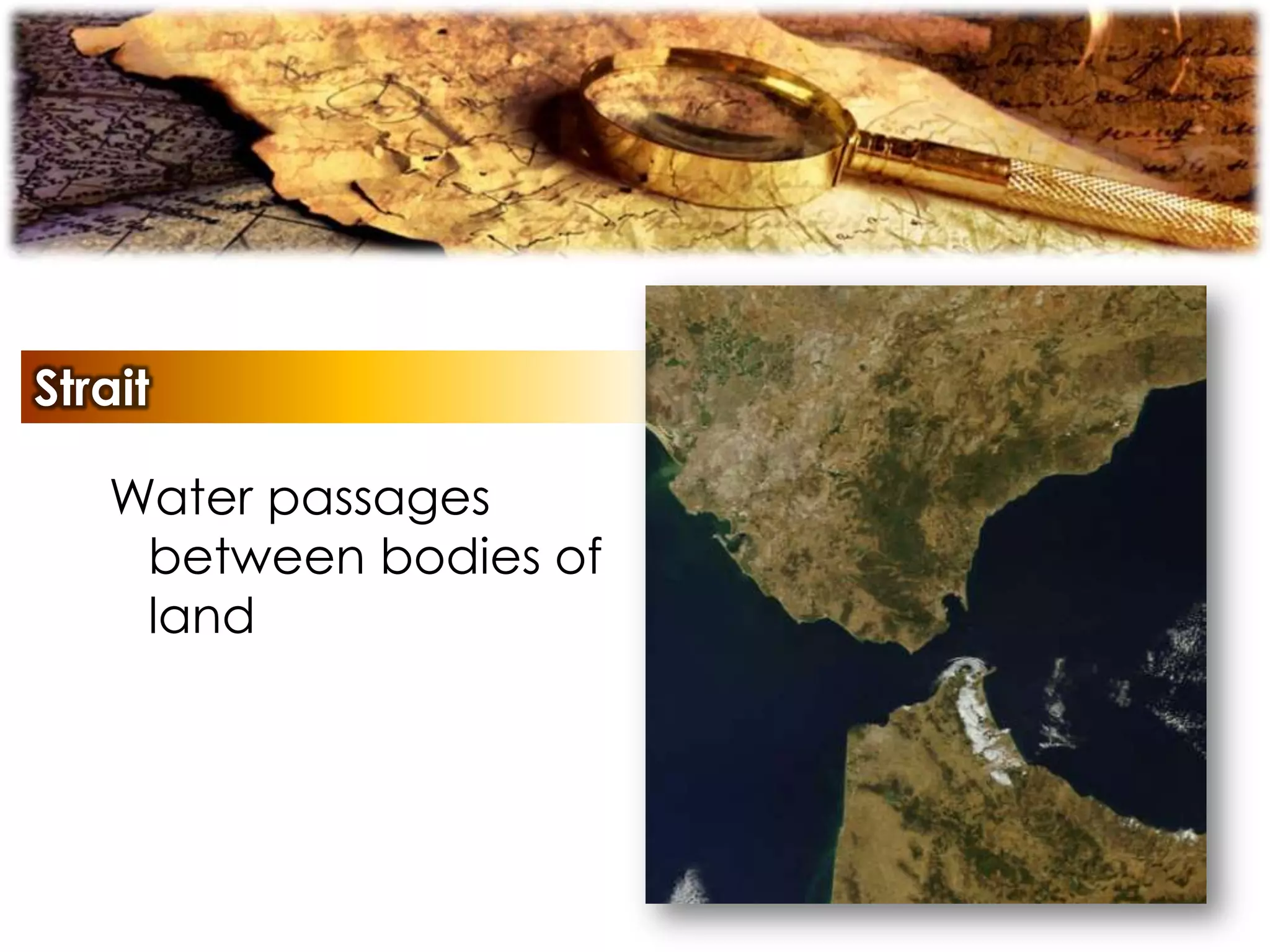

The document describes various types of maps, including physical maps, political maps, and nautical charts, detailing their features and uses. It covers geographical concepts such as longitudes, latitudes, and cardinal points, as well as significant Earth features such as the equator, poles, and various landforms. Additionally, it explains climatic zones and provides definitions of key geographical terms.


![4 Climate & Tourism[1]](https://cdn.slidesharecdn.com/ss_thumbnails/4_Climate__Tourism1-090222182440-phpapp02-thumbnail.jpg?width=640&height=640&fit=bounds)


