Downloaded 669 times

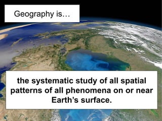
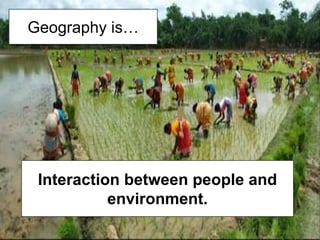


Geography is the study of spatial patterns on Earth's surface and the interactions between humans and their environments. There are five key themes of geography: location, place, human-environmental interaction, movement, and regions. Geography uses both quantitative and qualitative methods to study physical geography topics like landforms and climates as well as human geography topics like population and culture. Common methods include data collection, analysis, mapping, and the use of tools like geographic information systems.