Downloaded 209 times


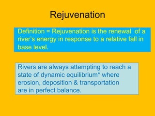


Rejuvenation is the renewal of a river's energy triggered by a drop in base level, affecting the river's ability to erode, deposit, and transport materials. The document discusses how dynamic and eustatic changes, such as land uplift and global sea level variations, impact river profiles, leading to landforms like knick points and entrenched meanders. It also describes static changes, which can increase a river's erosion capacity due to factors like changes in sediment load and discharge.