Downloaded 337 times
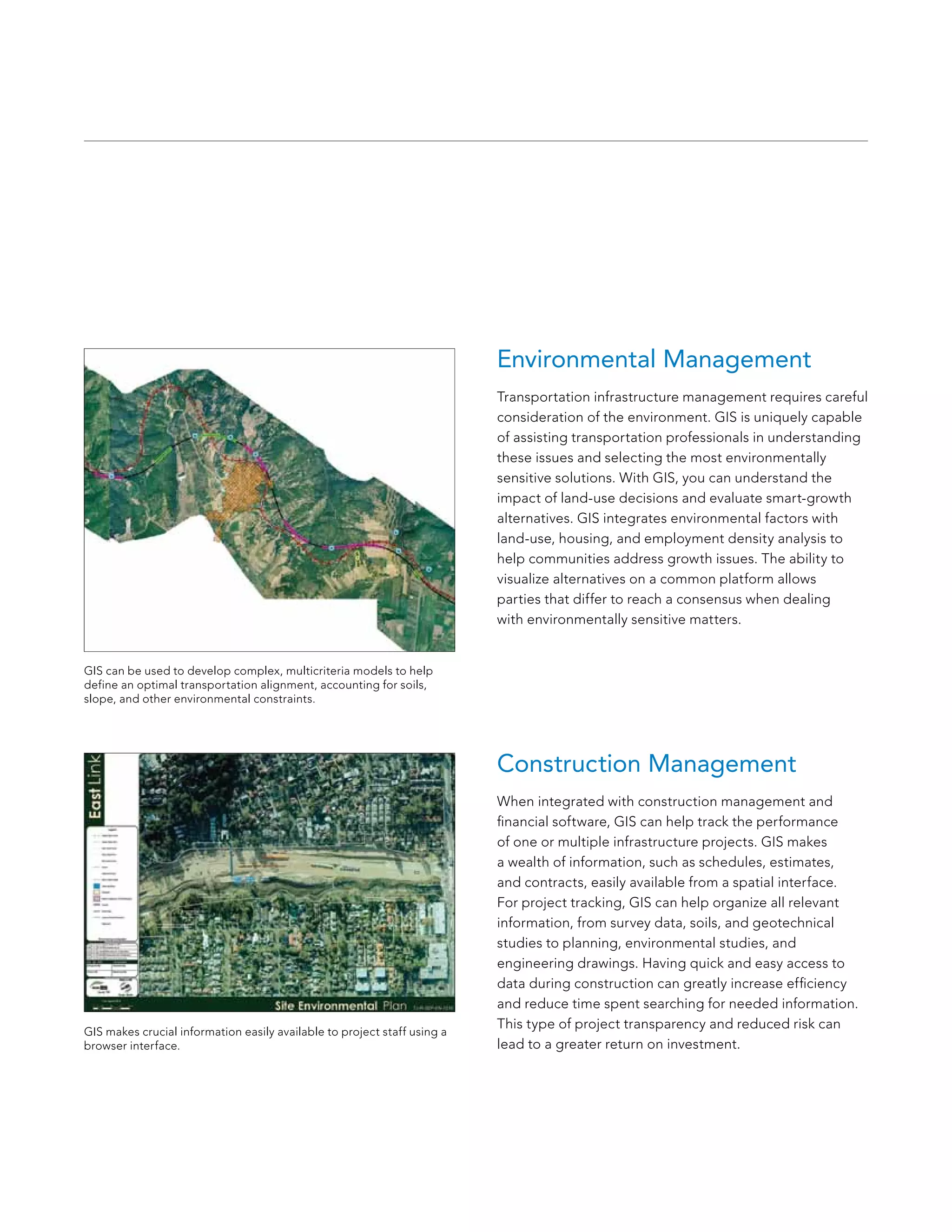
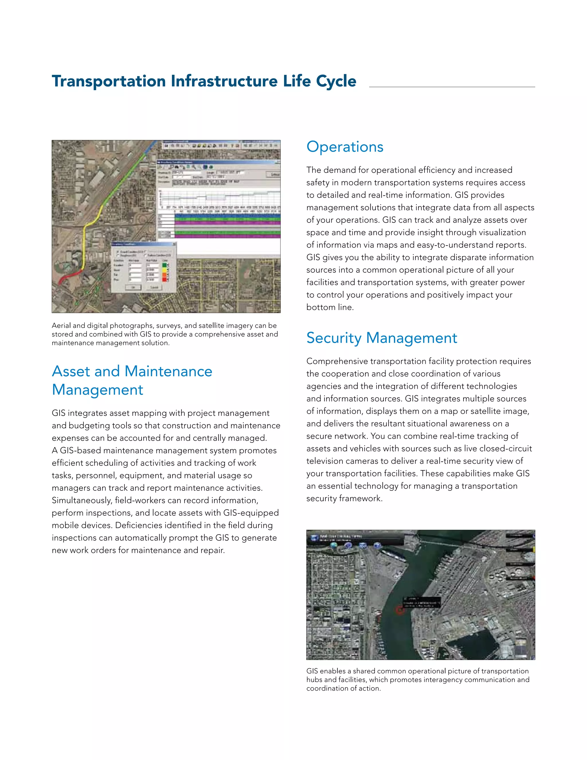


The document discusses the role of Geographic Information Systems (GIS) in managing transportation infrastructure by enhancing decision-making through visualization of assets and data integration. It emphasizes GIS's ability to streamline the planning, design, construction, and maintenance phases of transportation projects, improving operational efficiency and safety. Furthermore, the document highlights how GIS can facilitate better communication among stakeholders, support environmental considerations, and aid in rights-of-way management.


