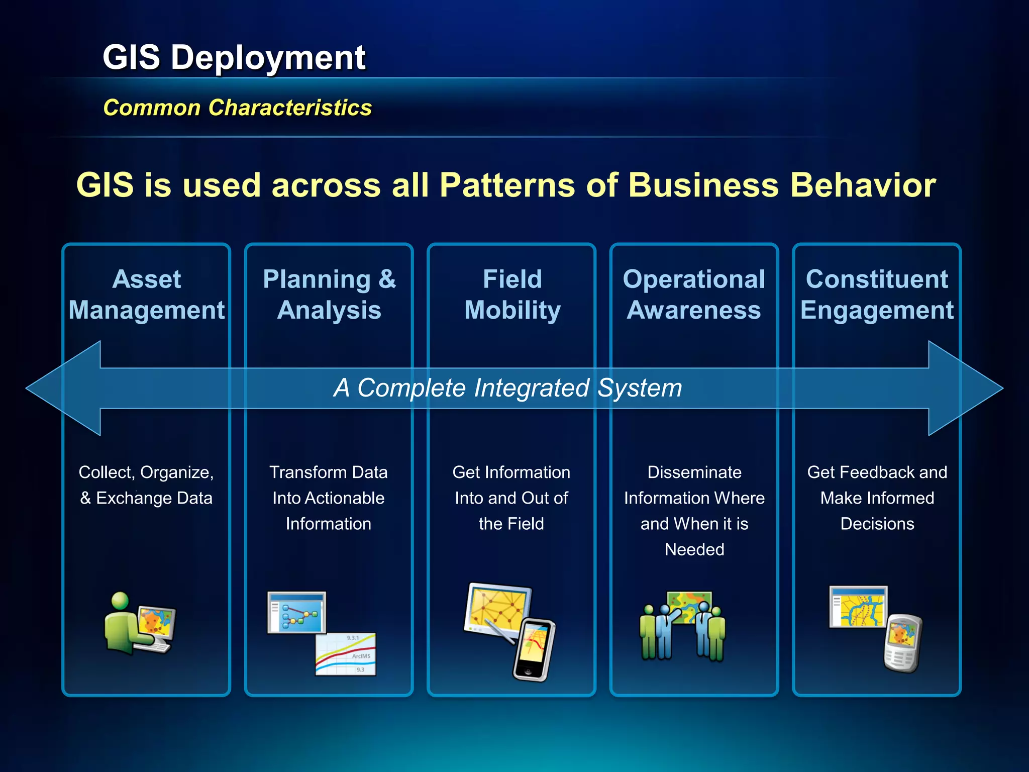
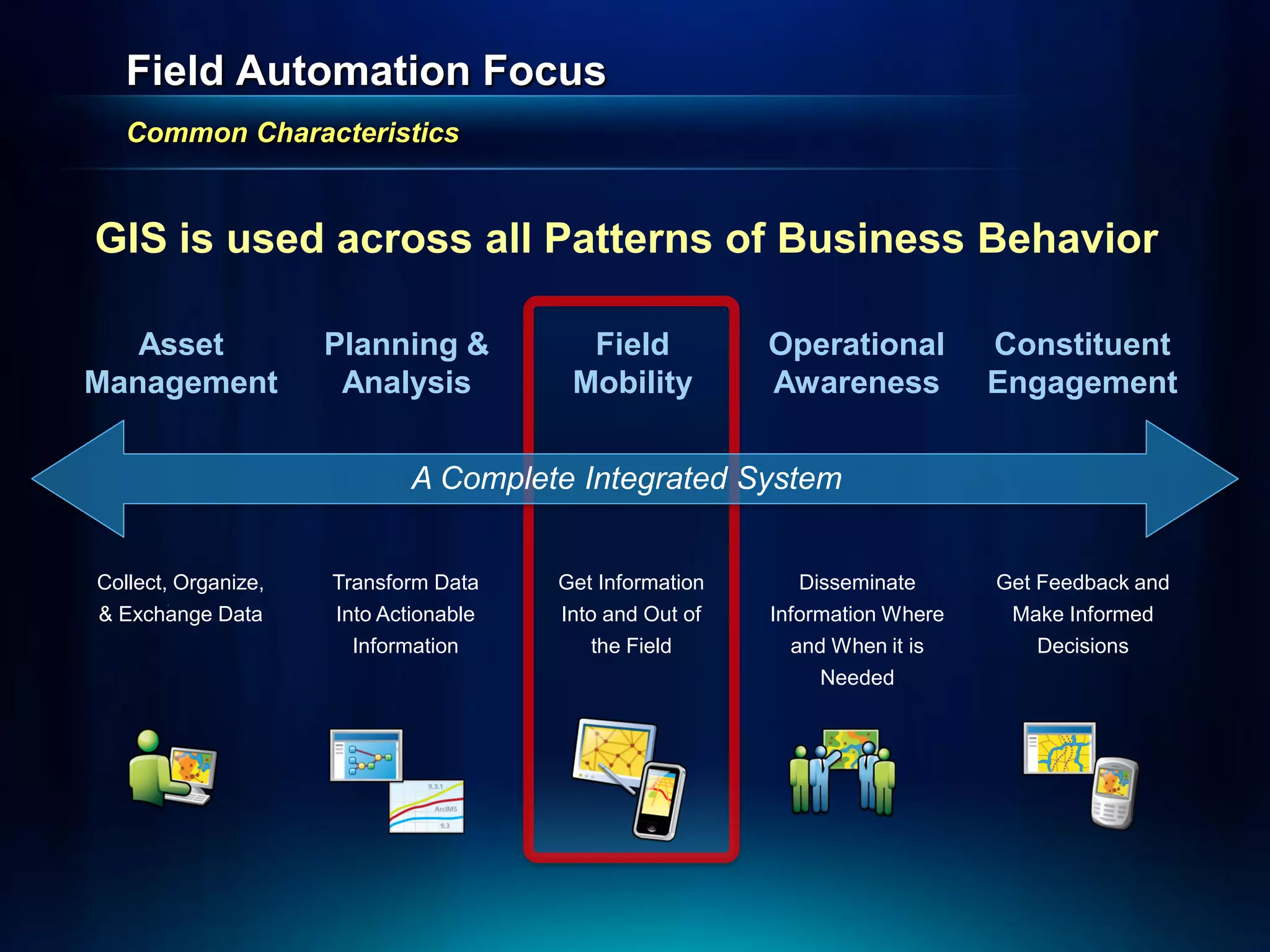
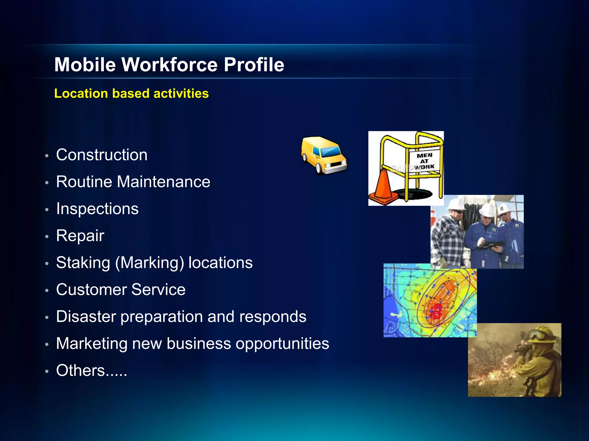
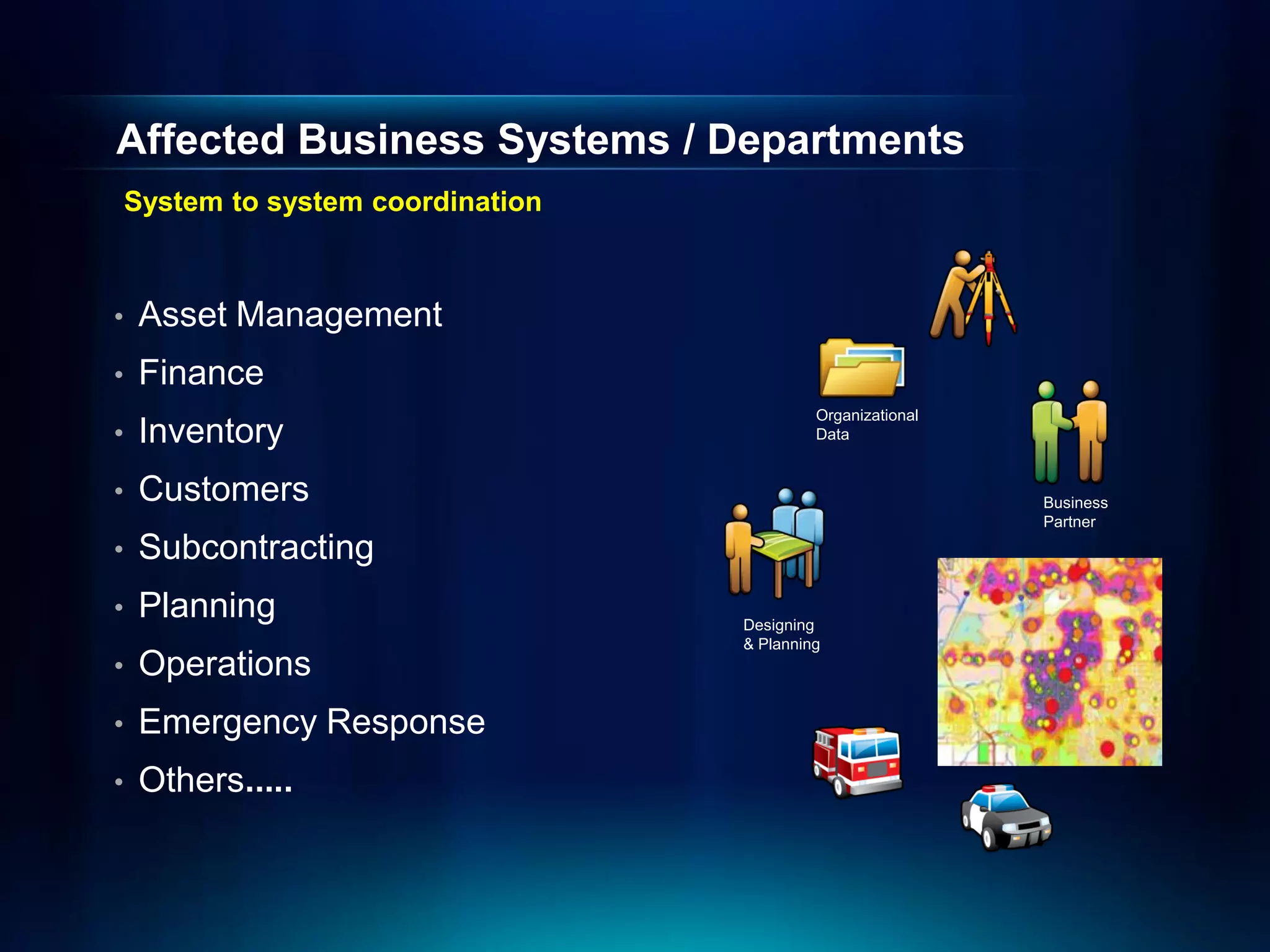
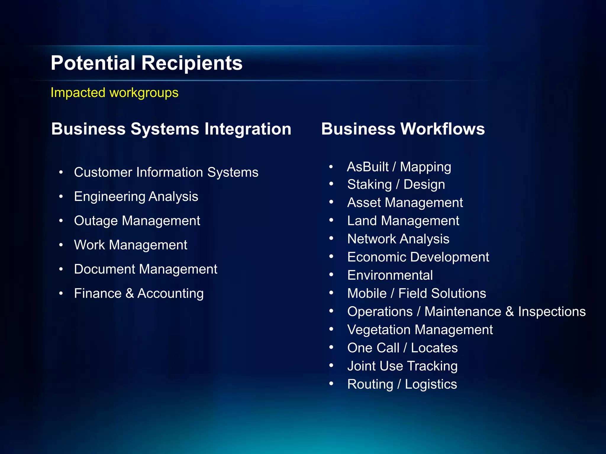
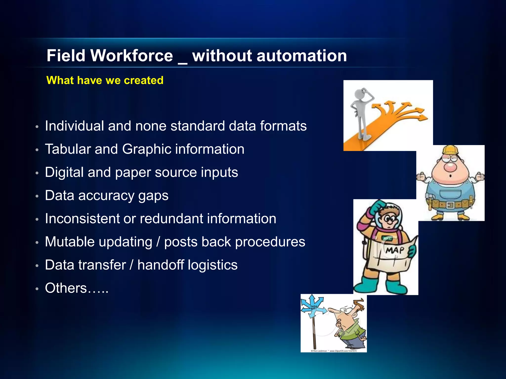
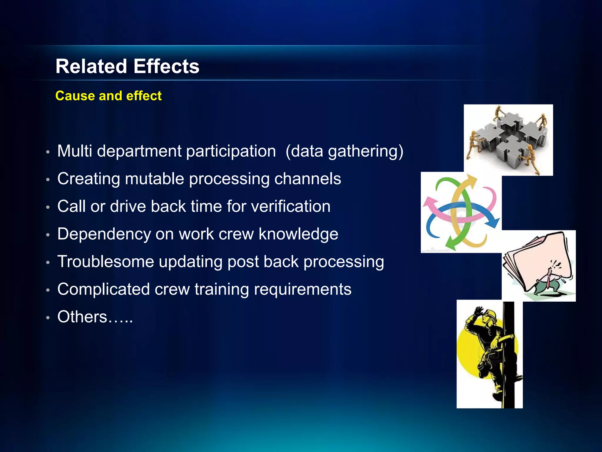
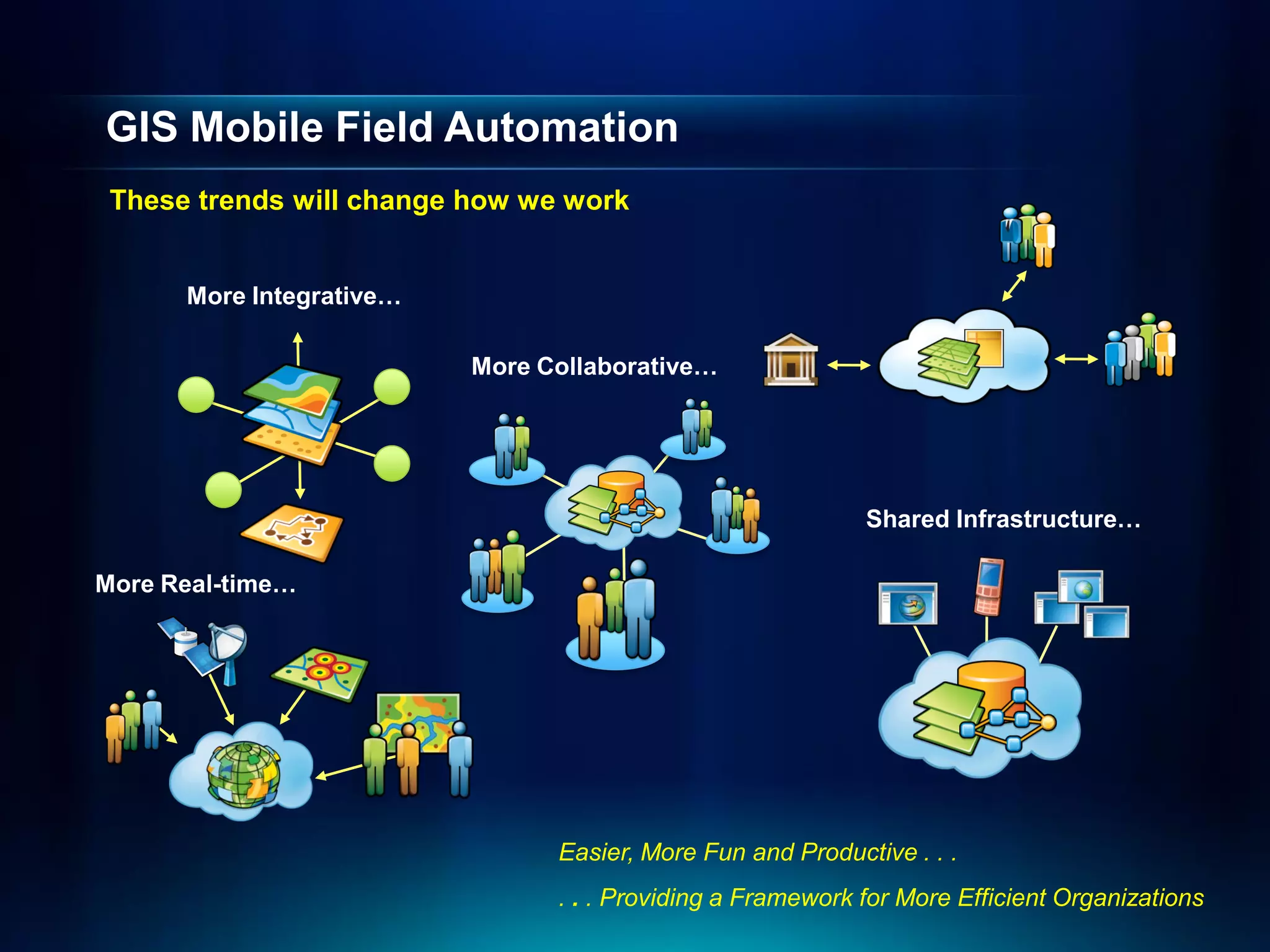
The Benefits of a GIS System
supporting Field Automation for
            Utilities


              Rod O’Strand
      Utilities Account Manager -Esri
GIS Deployment
   Common Characteristics


GIS is used across all Patterns of Business Behavior

   Asset             Planning &          Field           Operational         Constituent
Management            Analysis          Mobility         Awareness           Engagement


                             A Complete Integrated System


Collect, Organize,   Transform Data    Get Information      Disseminate      Get Feedback and
& Exchange Data      Into Actionable   Into and Out of   Information Where    Make Informed
                       Information         the Field       and When it is        Decisions
                                                             Needed
Field Automation Focus
   Common Characteristics


GIS is used across all Patterns of Business Behavior

   Asset             Planning &          Field           Operational         Constituent
Management            Analysis          Mobility         Awareness           Engagement


                             A Complete Integrated System


Collect, Organize,   Transform Data    Get Information      Disseminate      Get Feedback and
& Exchange Data      Into Actionable   Into and Out of   Information Where    Make Informed
                       Information         the Field       and When it is        Decisions
                                                             Needed
Mobile Workforce Profile
    Location based activities


•   Construction
•   Routine Maintenance
•   Inspections
•   Repair
•   Staking (Marking) locations
•   Customer Service
•   Disaster preparation and responds
•   Marketing new business opportunities
•   Others.....
Affected Business Systems / Departments
    System to system coordination


•    Asset Management
•    Finance
                                             Organizational
•    Inventory                               Data


•    Customers                                                Business
                                                              Partner

•    Subcontracting
•    Planning                       Designing
                                    & Planning
•    Operations
•    Emergency Response
•    Others.....
Potential Recipients
Impacted workgroups

Business Systems Integration      Business Workflows

 • Customer Information Systems   •   AsBuilt / Mapping
                                  •   Staking / Design
 • Engineering Analysis           •   Asset Management
 • Outage Management              •   Land Management
 • Work Management                •   Network Analysis
                                  •   Economic Development
 • Document Management            •   Environmental
 • Finance & Accounting           •   Mobile / Field Solutions
                                  •   Operations / Maintenance & Inspections
                                  •   Vegetation Management
                                  •   One Call / Locates
                                  •   Joint Use Tracking
                                  •   Routing / Logistics
Field Workforce _ without automation
    What have we created


•   Individual and none standard data formats
•   Tabular and Graphic information
•   Digital and paper source inputs
•   Data accuracy gaps
•   Inconsistent or redundant information
•   Mutable updating / posts back procedures
•   Data transfer / handoff logistics
•   Others…..
Related Effects
    Cause and effect


•   Multi department participation (data gathering)
•   Creating mutable processing channels
•   Call or drive back time for verification
•   Dependency on work crew knowledge
•   Troublesome updating post back processing
•   Complicated crew training requirements
•   Others…..
Many Forces Are Converging
Enabling a Pervasive Geospatial Platform


                               . . . Creating greater consciousness and collaboration
Mobile Technology Trends
Usage of maps continues to increase


GPS

                                        Internet / Cloud


                                      New market potential
GIS Mobile Field Automation
 These trends will change how we work


      More Integrative…

                          More Collaborative…


                                                            Shared Infrastructure…

More Real-time…


                                Easier, More Fun and Productive . . .
                                . . . Providing a Framework for More Efficient Organizations
Business Drives
Why is this so important?


•   Provide a reliable and cost-effective product
•   Supports a profitable sustainable business
•   Improve customer and public relationships
•   Creates meaningful workplace
•   Promotes a safer and more productive environment
•   Improve overall service efficiency & effectiveness
•   Others….
Return-On-Investment (ROI) Methodology
Overview of the ROI methodology…..


    1. Prepare for ROI Project               Planning &
    2. Identify Business Opportunities       Investigation
    3. Prioritize Business Opportunities


                                 4. Construct GIS Program
                                 5. Define Project Control          Program
                                                                    Definition
                                 6. Specify and Cost GIS Projects
                                 7. Estimate Benefits

           8. Create Benefits Roadmap                Business
           9. Calculate Financial Metrics            Analysis


           10. Build and Present Report              Reporting
Asset Management – Solution Map
 Problem                                                         Solution


                                            Negative                                   Positive
                       Cause of                                  How We Solve
 Problem                                    Business                                   Business
                       Problem                                   The Problem
                                            Impact                                     Outcome

• Difficulty to       • Lack of good       • Unexpected        • Processes to         • Reduce risk of
  access                record keeping       equipment failure   migrate legacy         unexplained
  comprehensive         tools &            • Increased labor     data to enterprise     failure
  information about     processes            costs researching   asset                • Provide facility
  assets to enable    • Lack of              & accessing data    management             maintenance
  accurate and          centralized data   • Inability to make   environment            planning
  timely decisions      management           timely decisions  • Solutions with       • Reduce time to
                      • Disparate Asset    • Risk in Capital     cascading              make operational
                        information          Improvement         benefits for:          decisions
                                                                  • Executives
                        sources              Planning             • Managers          • Visibility into
                          • Paper                                 • Planners            corporate assets
                          • Cad            • Variability in
                                                                  • Customer
                          • Access/Excel     O&M expenses           Service Reps
                      • Loosing                                    • O&M Field
                                                                     Crews
                        Institutional
                        knowledge
                      • Aging
                        infrastructure
ROI _Areas to Consider
Labor is the largest controllable cost


•   Map Book Creation, updating, distribution
•   Preparation and travel time
•   Fleet operational cost
•   Outsourcing cost (vendor and management)
•   Reporting
•   Safety
•   Emergency responds time
•   Asset accounting (inventory, operational, retired) timeline
•   Others….
Questions ?

            Resource Idea:
        http://esripress.esri.com
Search on (The Business Benefits of GIS)

Hawaii Pacific GIS Conference 2012: GIS for Utilities II - Benefits of a GIS System Supporting Field Automation for Utilites

  • 1.
    The Benefits ofa GIS System supporting Field Automation for Utilities Rod O’Strand Utilities Account Manager -Esri
  • 2.
    GIS Deployment Common Characteristics GIS is used across all Patterns of Business Behavior Asset Planning & Field Operational Constituent Management Analysis Mobility Awareness Engagement A Complete Integrated System Collect, Organize, Transform Data Get Information Disseminate Get Feedback and & Exchange Data Into Actionable Into and Out of Information Where Make Informed Information the Field and When it is Decisions Needed
  • 3.
    Field Automation Focus Common Characteristics GIS is used across all Patterns of Business Behavior Asset Planning & Field Operational Constituent Management Analysis Mobility Awareness Engagement A Complete Integrated System Collect, Organize, Transform Data Get Information Disseminate Get Feedback and & Exchange Data Into Actionable Into and Out of Information Where Make Informed Information the Field and When it is Decisions Needed
  • 4.
    Mobile Workforce Profile Location based activities • Construction • Routine Maintenance • Inspections • Repair • Staking (Marking) locations • Customer Service • Disaster preparation and responds • Marketing new business opportunities • Others.....
  • 5.
    Affected Business Systems/ Departments System to system coordination • Asset Management • Finance Organizational • Inventory Data • Customers Business Partner • Subcontracting • Planning Designing & Planning • Operations • Emergency Response • Others.....
  • 6.
    Potential Recipients Impacted workgroups BusinessSystems Integration Business Workflows • Customer Information Systems • AsBuilt / Mapping • Staking / Design • Engineering Analysis • Asset Management • Outage Management • Land Management • Work Management • Network Analysis • Economic Development • Document Management • Environmental • Finance & Accounting • Mobile / Field Solutions • Operations / Maintenance & Inspections • Vegetation Management • One Call / Locates • Joint Use Tracking • Routing / Logistics
  • 7.
    Field Workforce _without automation What have we created • Individual and none standard data formats • Tabular and Graphic information • Digital and paper source inputs • Data accuracy gaps • Inconsistent or redundant information • Mutable updating / posts back procedures • Data transfer / handoff logistics • Others…..
  • 8.
    Related Effects Cause and effect • Multi department participation (data gathering) • Creating mutable processing channels • Call or drive back time for verification • Dependency on work crew knowledge • Troublesome updating post back processing • Complicated crew training requirements • Others…..
  • 9.
    Many Forces AreConverging Enabling a Pervasive Geospatial Platform . . . Creating greater consciousness and collaboration
  • 10.
    Mobile Technology Trends Usageof maps continues to increase GPS Internet / Cloud New market potential
  • 11.
    GIS Mobile FieldAutomation These trends will change how we work More Integrative… More Collaborative… Shared Infrastructure… More Real-time… Easier, More Fun and Productive . . . . . . Providing a Framework for More Efficient Organizations
  • 12.
    Business Drives Why isthis so important? • Provide a reliable and cost-effective product • Supports a profitable sustainable business • Improve customer and public relationships • Creates meaningful workplace • Promotes a safer and more productive environment • Improve overall service efficiency & effectiveness • Others….
  • 13.
    Return-On-Investment (ROI) Methodology Overviewof the ROI methodology….. 1. Prepare for ROI Project Planning & 2. Identify Business Opportunities Investigation 3. Prioritize Business Opportunities 4. Construct GIS Program 5. Define Project Control Program Definition 6. Specify and Cost GIS Projects 7. Estimate Benefits 8. Create Benefits Roadmap Business 9. Calculate Financial Metrics Analysis 10. Build and Present Report Reporting
  • 14.
    Asset Management –Solution Map Problem Solution Negative Positive Cause of How We Solve Problem Business Business Problem The Problem Impact Outcome • Difficulty to • Lack of good • Unexpected • Processes to • Reduce risk of access record keeping equipment failure migrate legacy unexplained comprehensive tools & • Increased labor data to enterprise failure information about processes costs researching asset • Provide facility assets to enable • Lack of & accessing data management maintenance accurate and centralized data • Inability to make environment planning timely decisions management timely decisions • Solutions with • Reduce time to • Disparate Asset • Risk in Capital cascading make operational information Improvement benefits for: decisions • Executives sources Planning • Managers • Visibility into • Paper • Planners corporate assets • Cad • Variability in • Customer • Access/Excel O&M expenses Service Reps • Loosing • O&M Field Crews Institutional knowledge • Aging infrastructure
  • 15.
    ROI _Areas toConsider Labor is the largest controllable cost • Map Book Creation, updating, distribution • Preparation and travel time • Fleet operational cost • Outsourcing cost (vendor and management) • Reporting • Safety • Emergency responds time • Asset accounting (inventory, operational, retired) timeline • Others….
  • 16.
    Questions ? Resource Idea: http://esripress.esri.com Search on (The Business Benefits of GIS)