

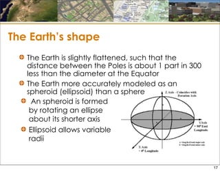
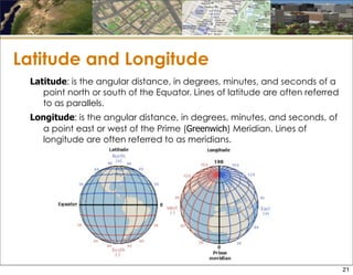
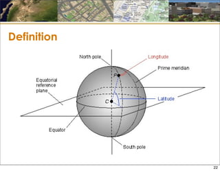
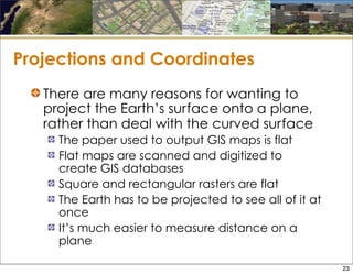
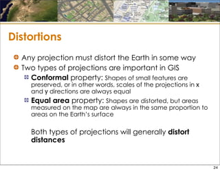
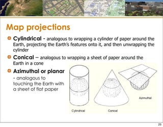
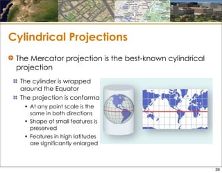
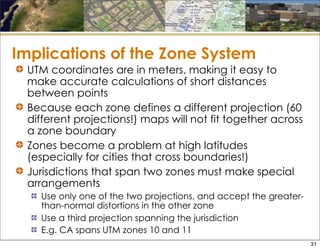
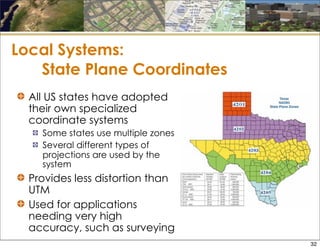
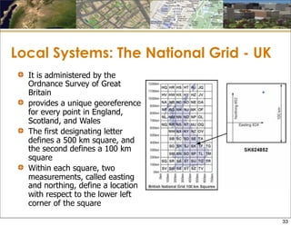

The document discusses various methods of georeferencing, which is assigning accurate locations to spatial information. The most comprehensive method is using latitude and longitude, which defines locations based on angles from the equator and Greenwich Meridian. However, the Earth's curved surface poses issues for technologies that work with flat maps and data. Therefore, map projections are used to translate locations on the spherical Earth onto flat planes or surfaces, though all projections introduce some distortion. Common projections include cylindrical, conic, and the Universal Transverse Mercator system.


![Introto geography[1]](https://cdn.slidesharecdn.com/ss_thumbnails/introtogeography1-130411124640-phpapp02-thumbnail.jpg?width=640&height=640&fit=bounds)


