Downloaded 143 times
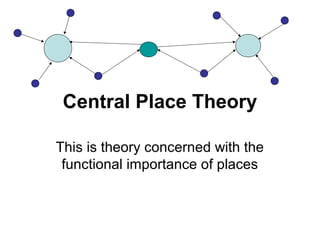
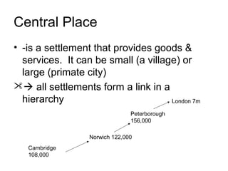
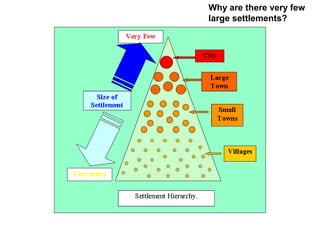
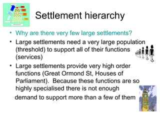
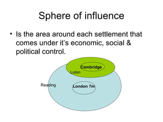
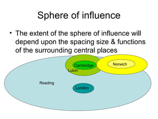
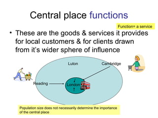

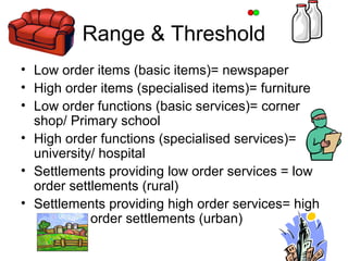
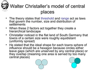

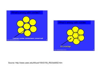
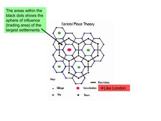

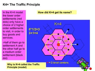
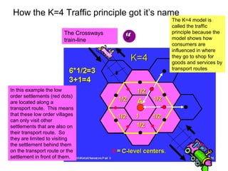
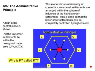
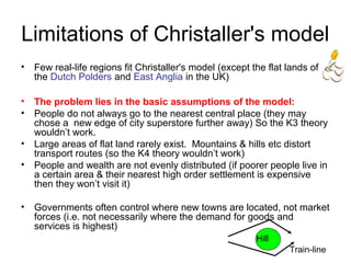

Central Place Theory proposes that settlements form a hierarchy based on the goods and services they provide. Larger settlements can support more specialized, high-order functions and have a greater sphere of influence than smaller settlements. Christaller developed a central place model where the ideal shape for a settlement's sphere of influence is a hexagon to ensure all areas are served without gaps or overlaps. His K=3 and K=4 models show how consumers are distributed between central places based on thresholds and ranges. However, Christaller's model has limitations as it relies on assumptions rarely seen in reality, such as uniformly distributed populations and flat, isotropic landscapes.


