Downloaded 506 times

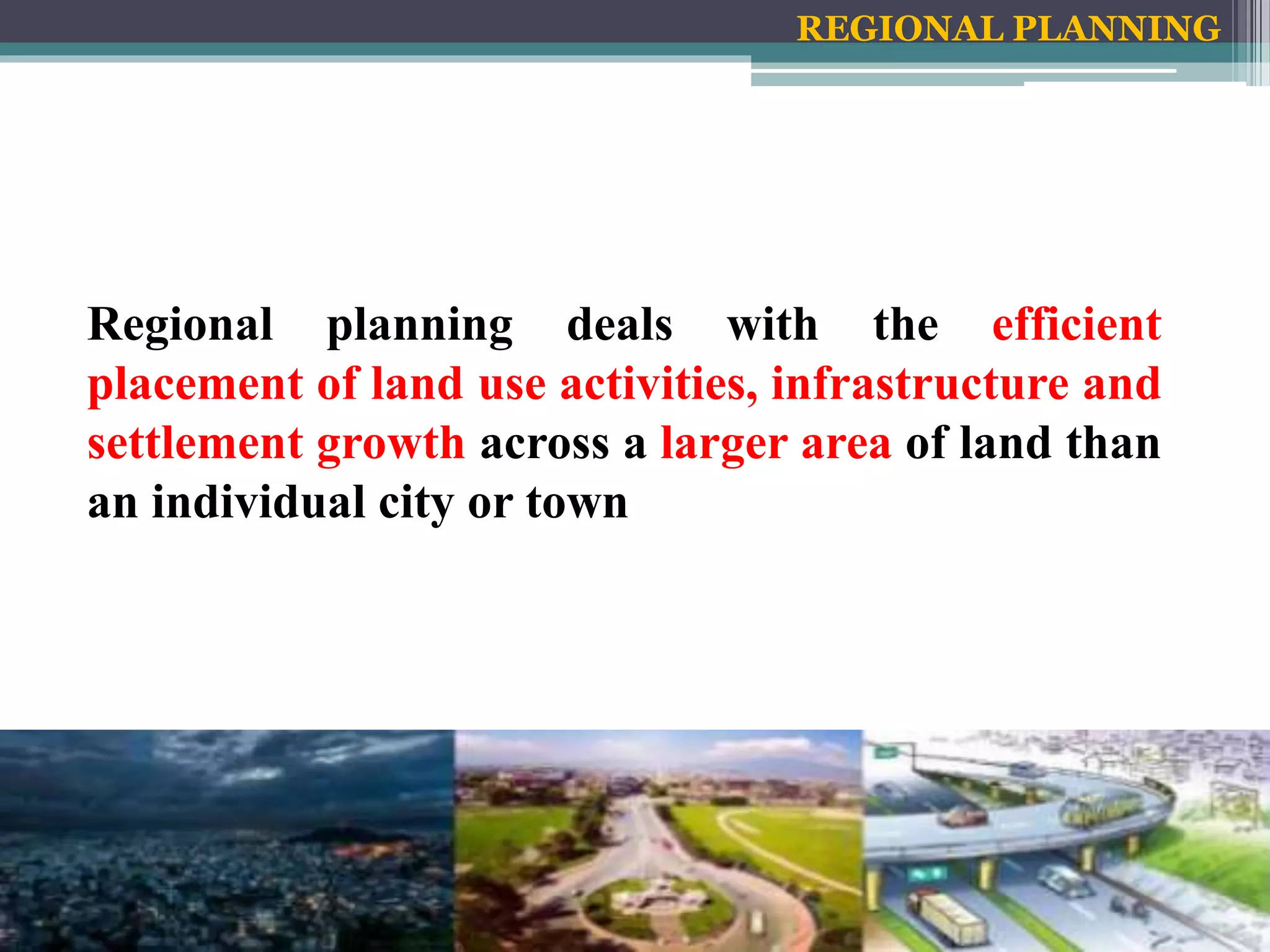


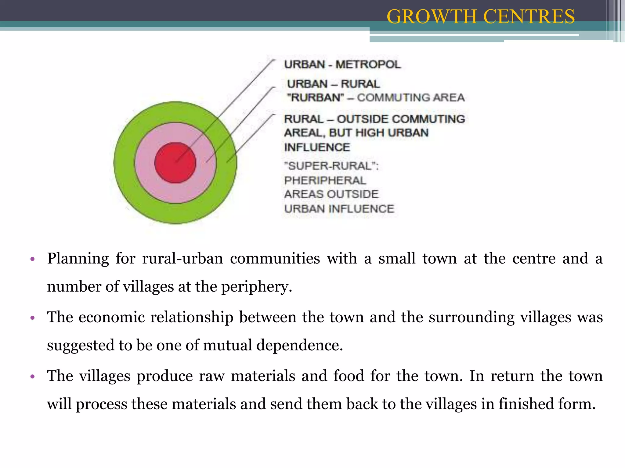


Regional planning deals with efficient placement of land uses like farmland, cities, infrastructure, and wilderness across a larger area than individual towns. A region requires various land uses to support protection of farmland, cities, industry, transportation, and other needs. Regional development addresses region-wide environmental, social and economic issues through efficient infrastructure placement and zoning to sustainably grow a region.


