Download as PDF, PPTX
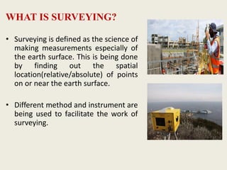
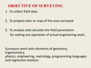
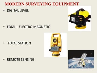
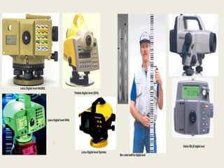
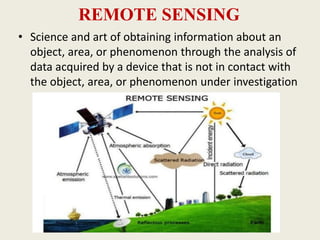
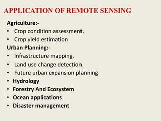
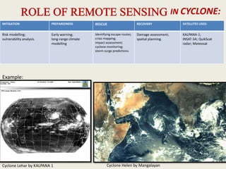
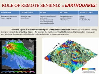
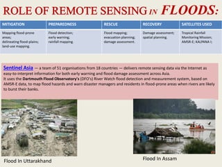
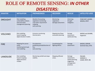

This document discusses modern surveying techniques and technologies. It begins by defining surveying and its objectives such as collecting field data and preparing maps. It then describes several key pieces of modern surveying equipment - digital levels, electro-magnetic distance measurement instruments (EDMI), total stations, and remote sensing. For each, it provides details on how they work, their features and applications. Remote sensing in particular discusses how satellite imagery can support disaster management activities such as mitigation, preparedness, response and recovery for cyclones, earthquakes, floods and other hazards.