Downloaded 298 times
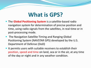
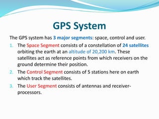

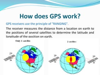
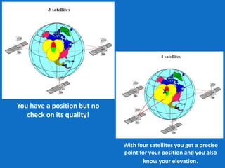
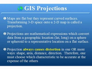
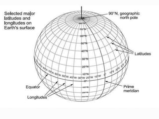
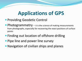
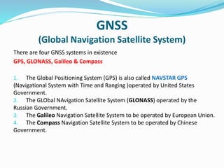


The document explains GPS (Global Positioning System) as a satellite-based navigation system that allows users to determine their precise position and time through radio signals. It describes the three segments of the GPS system: space, control, and user, and highlights the ranging principle used by receivers to calculate location. Additionally, it covers various applications of GPS and mentions the existence of four global navigation satellite systems (GPS, GLONASS, Galileo, and Compass).


![Introduction to gps [compatibility mode]](https://cdn.slidesharecdn.com/ss_thumbnails/introductiontogpscompatibilitymode-131231040925-phpapp01-thumbnail.jpg?width=640&height=640&fit=bounds)