
Download as PDF, PPTX
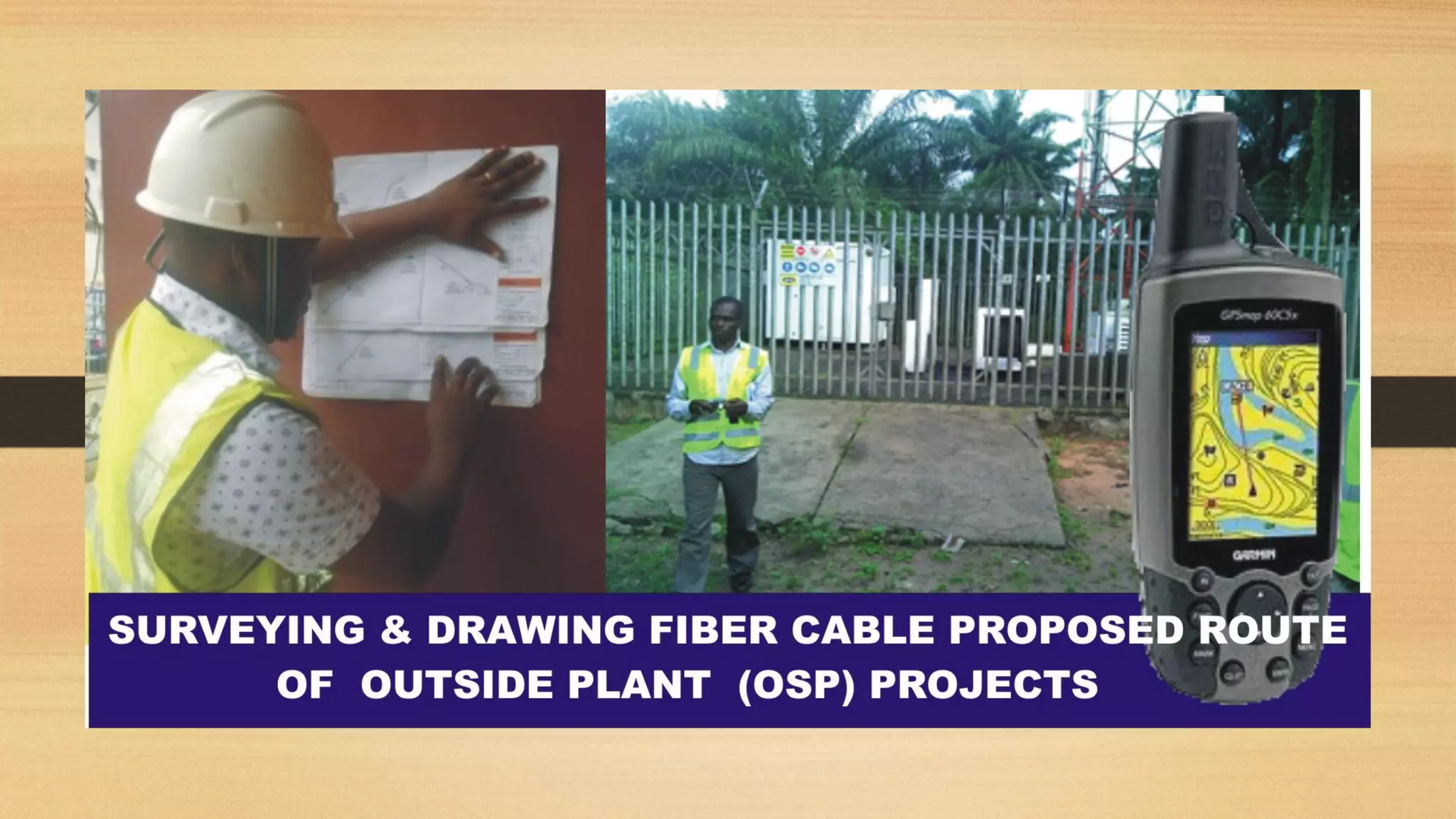
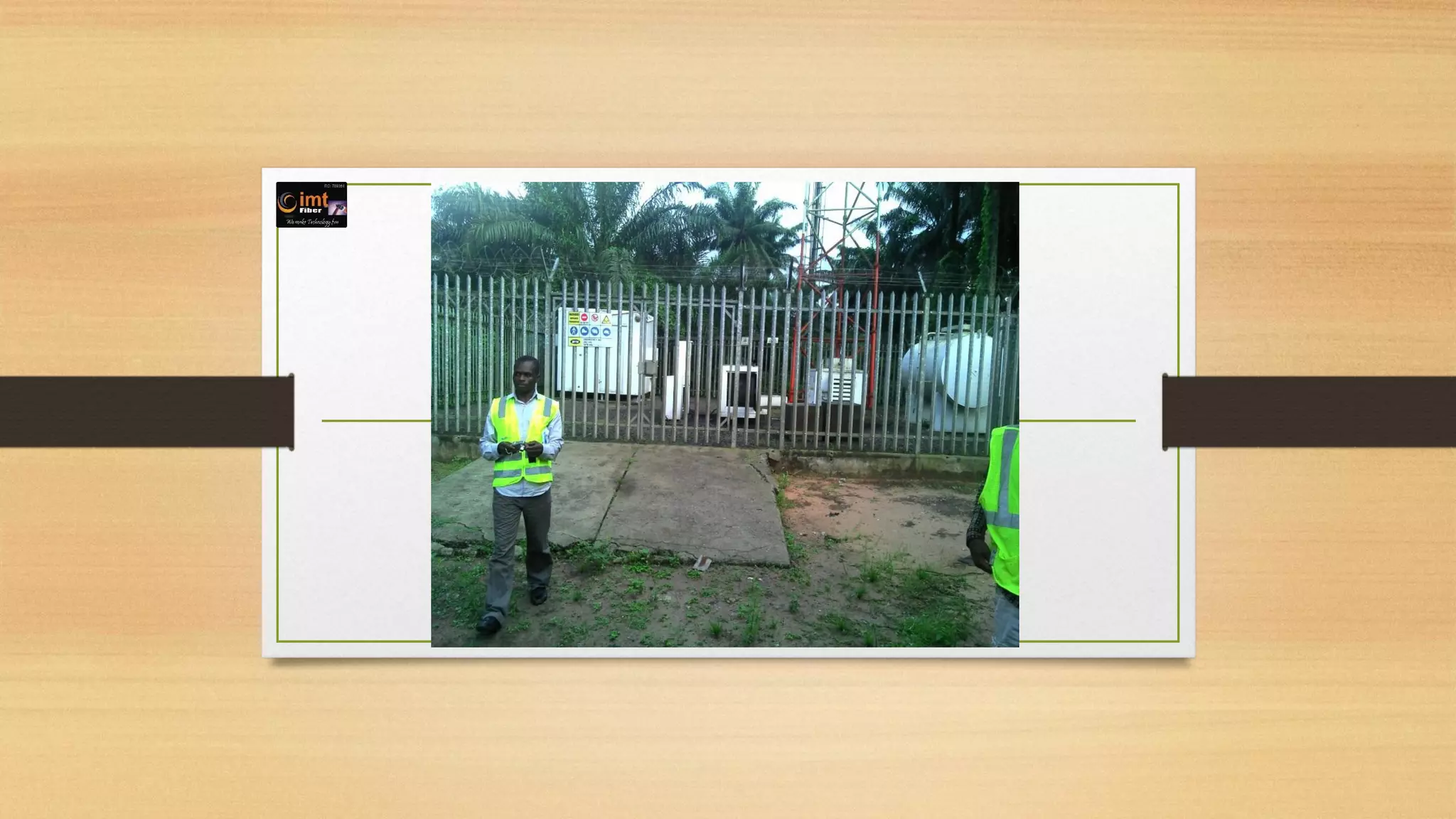

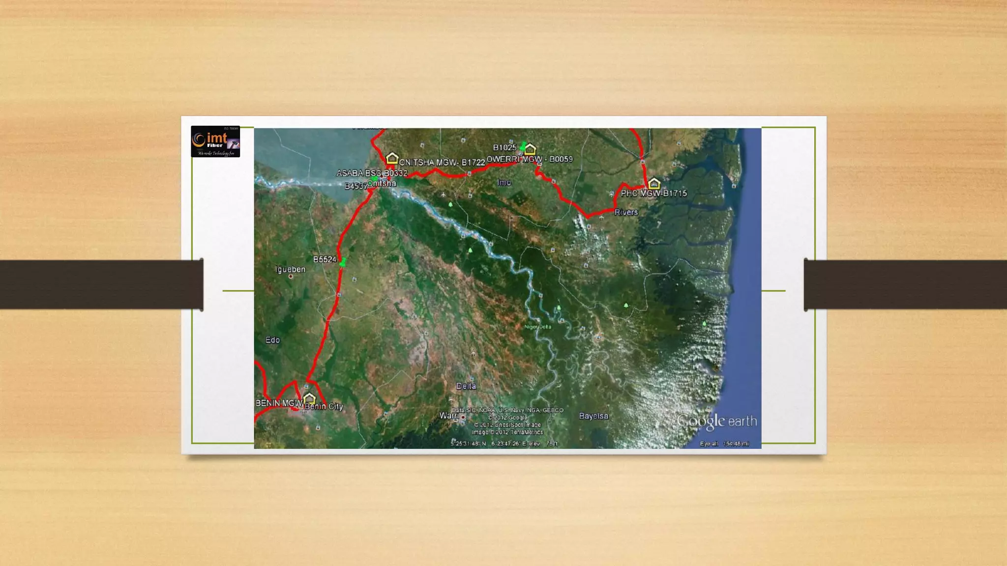

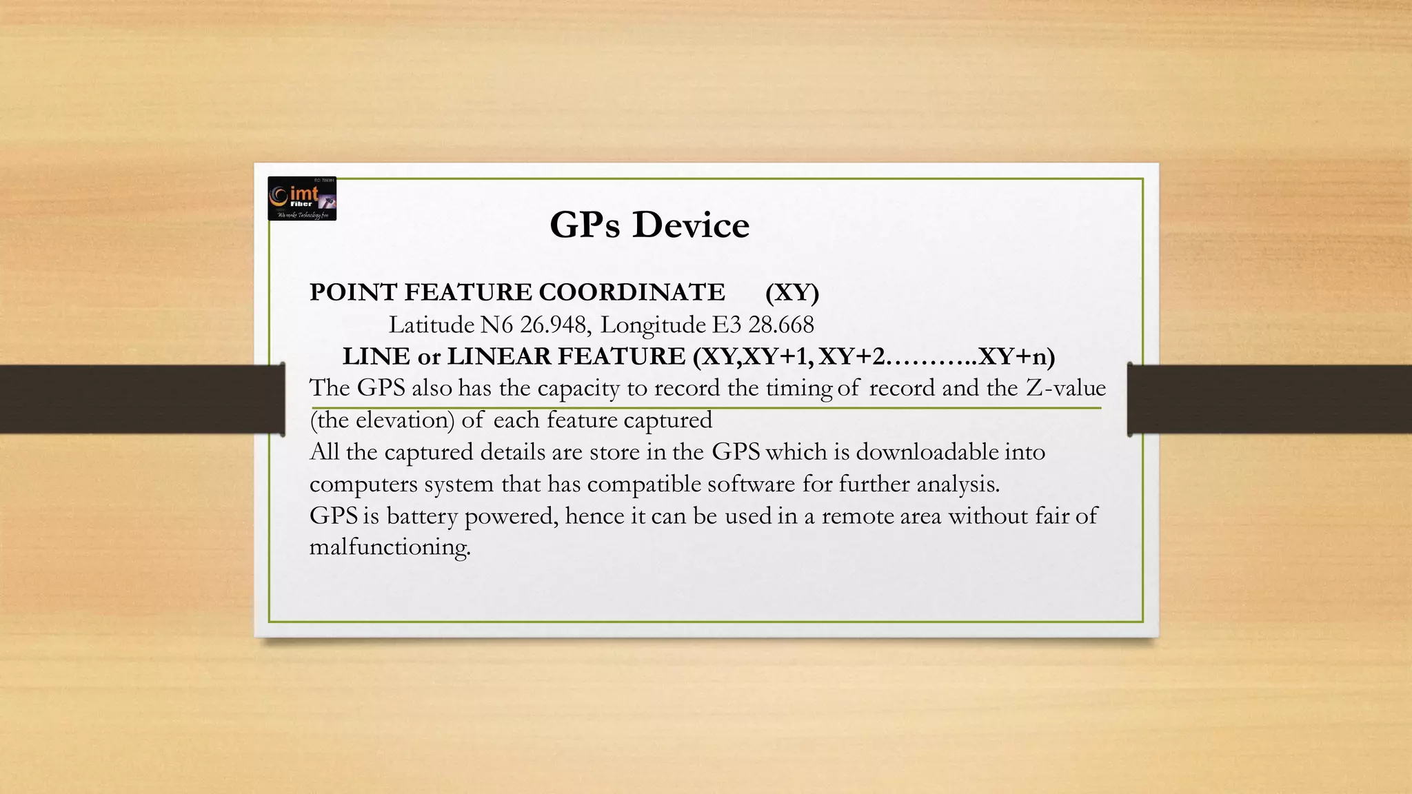
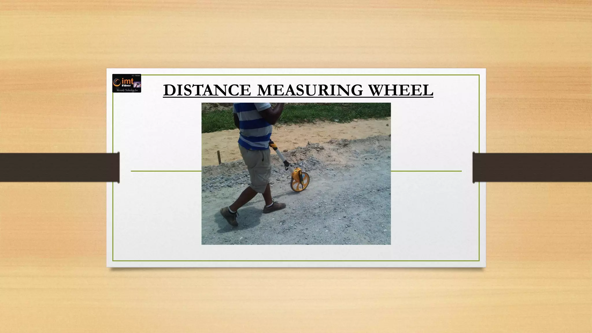


The document outlines the process and importance of conducting a route survey for fiber project implementation, emphasizing that it is crucial for project accuracy and successful execution. It describes the necessary equipment, such as GPS devices and distance measuring wheels, and highlights the need for ground truthing to gather precise data about the proposed fiber cable route. The survey provides critical information for project drawings, financial proposals, and serves as a guide for implementation in varying terrain conditions.


![Coded Agents – with UiPath SDK + LangGraph [Virtual Hands-on Workshop]](https://cdn.slidesharecdn.com/ss_thumbnails/codedagentsdeck-251215155422-5497c599-thumbnail.jpg?width=640&height=640&fit=bounds)


