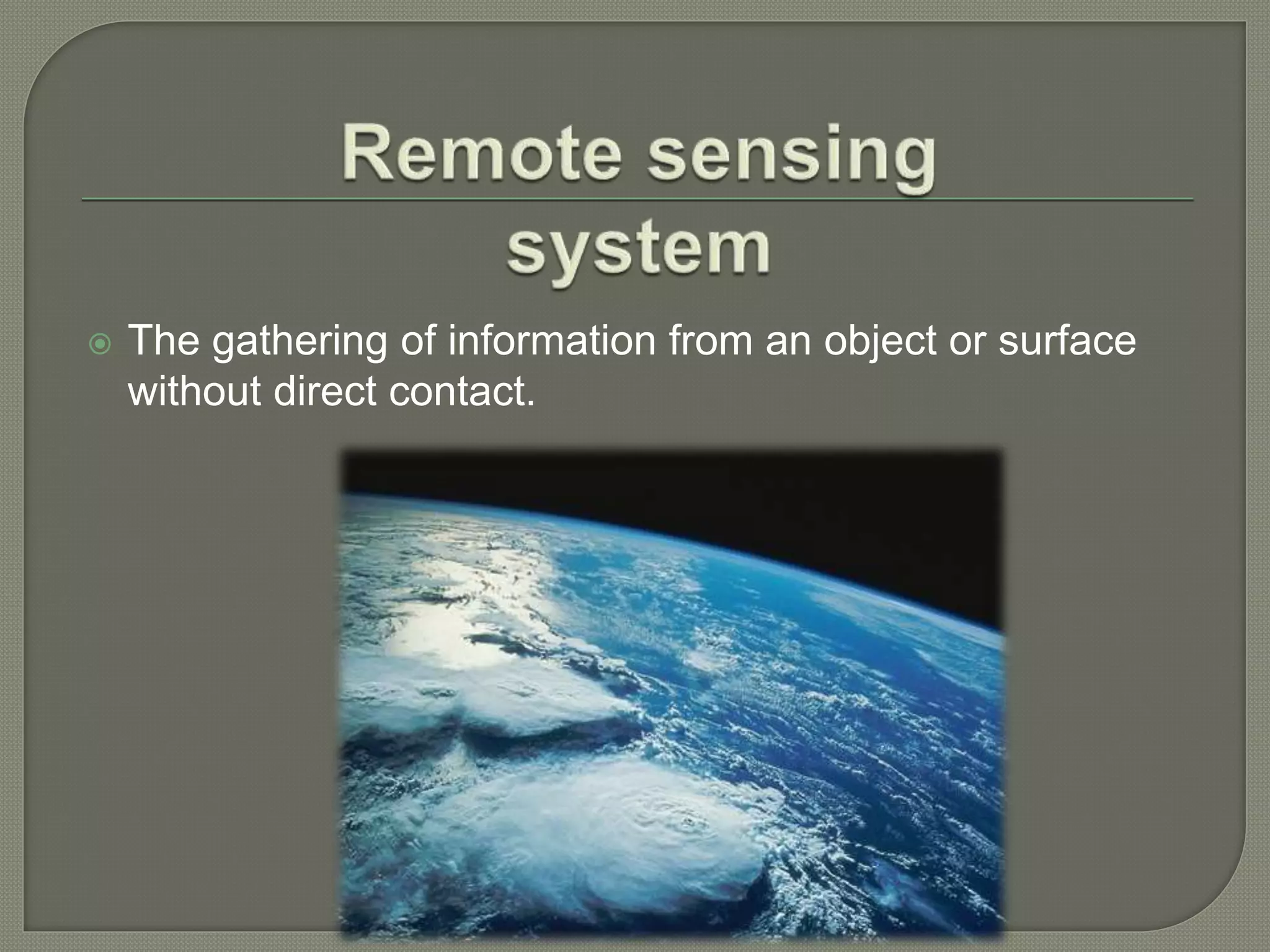
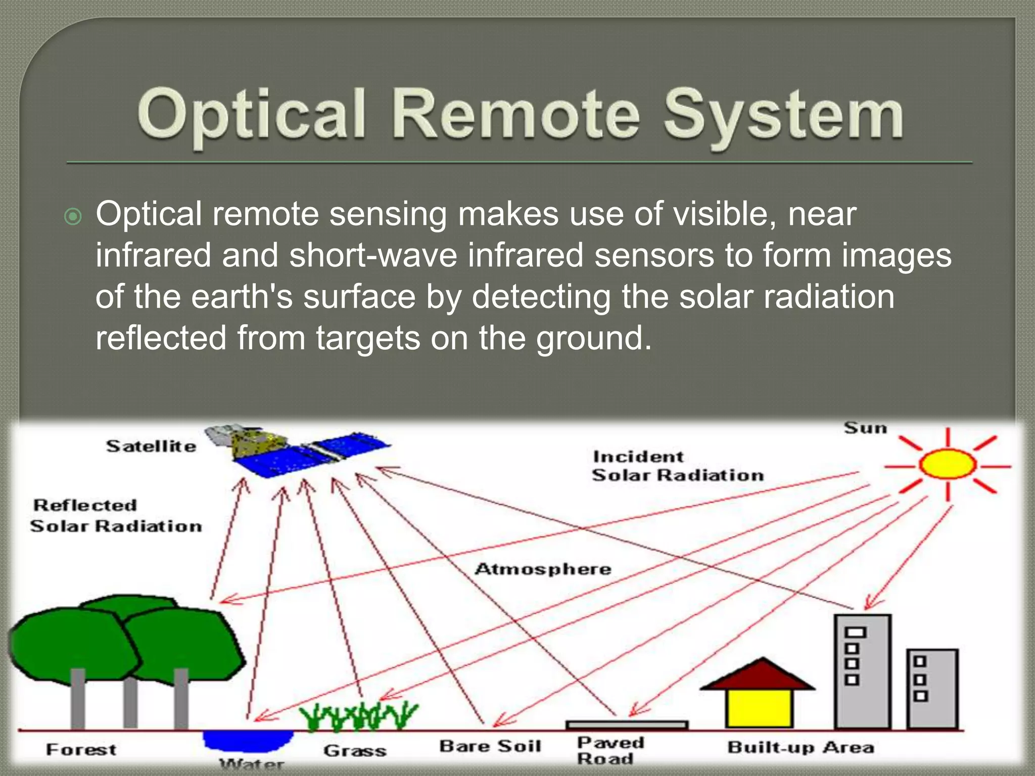
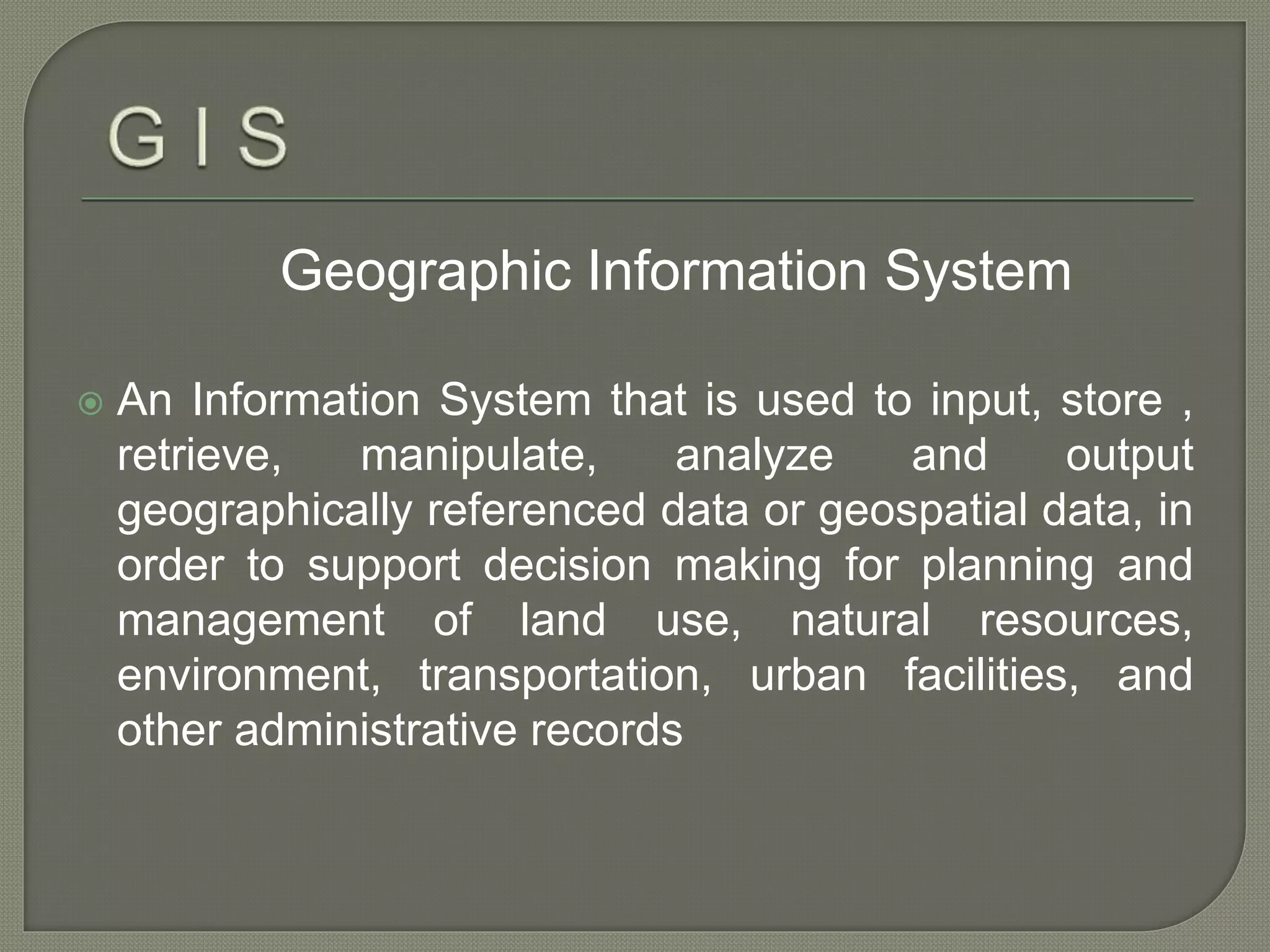
PREPARED BY:-
K Vigneshwar
Geographical Information
System
&
Remote Sensing
 The gathering of information from an object or surface
without direct contact.
 Passive Remote Sensing
 Photography
 Radiometers
 Infrared
 Active Remote Sensing
 RADAR
 Forestry
 Agriculture
 Hydrology
 Sea Ice
 Land Cover & Land Use
 Spectral Signatures
 Image Acquisition
 Spatial Resolution
 Spectral Resolution
 Multispectral Images
 Radiometric Resolution
High Resolutions: Low Resolution:
Multi Spectral: Hyper Spectral:
Optical System
 Panchromatic imaging system
 Multispectral imaging system
 Super spectral Imaging System
 Hyper spectral Imaging System
RADAR System
 Optical remote sensing makes use of visible, near
infrared and short-wave infrared sensors to form images
of the earth's surface by detecting the solar radiation
reflected from targets on the ground.
 A single channel sensor is used to detect radiation
 If range of wavelength and the visible range become
same then the imagery will appear as a black and white
photograph taken from space
Uses a multi channel detector and records
radiation with a narrow range
Brightness and color informatics are
available
Finer spectral feature that capture by the
sensors.
Geographic Information System
 An Information System that is used to input, store ,
retrieve, manipulate, analyze and output
geographically referenced data or geospatial data, in
order to support decision making for planning and
management of land use, natural resources,
environment, transportation, urban facilities, and
other administrative records
 Data Acquisition and prepossessing
 Database Management and Retrieval
 Spatial Measurement and Analysis
 Graphic output and Visualization
 Geospatial data are better maintained in a
standard format.
 Revision and updating are easier.
 Geospatial data and information are easier to
search, analysis and represent.
 More value added product.
 Geospatial data can be shared and exchanged
freely.
 Productivity of the staff improved and more
efficient.
 Time and money are saved.
 Better decision can be made.
 Locations - What is at….?
v Objects - Where is…?
Patterns - Which things are related…?
v Models - What if…?
Trends - What has changed since…?
• A GIS is a 5-part system:
– People
– Data
– Hardware
– Software
– Procedures
• A GIS is only as strong as its
weakest link!
Six Functions of a GIS
Capture data
Store data
Query data
Analyze data
Display data
Produce output
Area GIS Application
Facilities Management Locating underground pipes & cables,
planning facility maintenance,
telecommunication network services
Environmental and Natural
Resources Management
Environmental impact analysis, disaster
management and mitigation
Street Network
Locating houses and streets, car
navigation, transportation planning
Planning and Engineering Urban planning, regional planning,
development of public facilities
Land Information Taxation, zoning of land use, land
acquisition
… but generally can be grouped into four basic categories:
• NATURAL RESOURCE MANAGEMENT
» Forest & Wildlife
» Hydrological
» Minerals
• URBAN & REGSIONAL MANAGEMENT
» Land Use Planning/Environmental Impact
» Public Works
» Emergency Response
» Legal Records
• COMMERCIAL
» Market Area Analysis
» Site Selection
» Routing
• AGRICULTURAL MANAGEMENT
» Field Records
» Animal Management
» Climate Change / Human Impact
GIS & RS
GIS & RS

GIS & RS

  • 1.
    PREPARED BY:- K Vigneshwar GeographicalInformation System & Remote Sensing
  • 3.
     The gatheringof information from an object or surface without direct contact.
  • 4.
     Passive RemoteSensing  Photography  Radiometers  Infrared  Active Remote Sensing  RADAR
  • 5.
     Forestry  Agriculture Hydrology  Sea Ice  Land Cover & Land Use
  • 6.
     Spectral Signatures Image Acquisition  Spatial Resolution  Spectral Resolution  Multispectral Images  Radiometric Resolution
  • 7.
    High Resolutions: LowResolution: Multi Spectral: Hyper Spectral:
  • 8.
    Optical System  Panchromaticimaging system  Multispectral imaging system  Super spectral Imaging System  Hyper spectral Imaging System RADAR System
  • 9.
     Optical remotesensing makes use of visible, near infrared and short-wave infrared sensors to form images of the earth's surface by detecting the solar radiation reflected from targets on the ground.
  • 10.
     A singlechannel sensor is used to detect radiation  If range of wavelength and the visible range become same then the imagery will appear as a black and white photograph taken from space
  • 11.
    Uses a multichannel detector and records radiation with a narrow range Brightness and color informatics are available
  • 12.
    Finer spectral featurethat capture by the sensors.
  • 13.
    Geographic Information System An Information System that is used to input, store , retrieve, manipulate, analyze and output geographically referenced data or geospatial data, in order to support decision making for planning and management of land use, natural resources, environment, transportation, urban facilities, and other administrative records
  • 14.
     Data Acquisitionand prepossessing  Database Management and Retrieval  Spatial Measurement and Analysis  Graphic output and Visualization
  • 15.
     Geospatial dataare better maintained in a standard format.  Revision and updating are easier.  Geospatial data and information are easier to search, analysis and represent.  More value added product.  Geospatial data can be shared and exchanged freely.  Productivity of the staff improved and more efficient.  Time and money are saved.  Better decision can be made.
  • 16.
     Locations -What is at….? v Objects - Where is…? Patterns - Which things are related…? v Models - What if…? Trends - What has changed since…?
  • 17.
    • A GISis a 5-part system: – People – Data – Hardware – Software – Procedures • A GIS is only as strong as its weakest link! Six Functions of a GIS Capture data Store data Query data Analyze data Display data Produce output
  • 18.
    Area GIS Application FacilitiesManagement Locating underground pipes & cables, planning facility maintenance, telecommunication network services Environmental and Natural Resources Management Environmental impact analysis, disaster management and mitigation Street Network Locating houses and streets, car navigation, transportation planning Planning and Engineering Urban planning, regional planning, development of public facilities Land Information Taxation, zoning of land use, land acquisition
  • 19.
    … but generallycan be grouped into four basic categories: • NATURAL RESOURCE MANAGEMENT » Forest & Wildlife » Hydrological » Minerals • URBAN & REGSIONAL MANAGEMENT » Land Use Planning/Environmental Impact » Public Works » Emergency Response » Legal Records
  • 20.
    • COMMERCIAL » MarketArea Analysis » Site Selection » Routing • AGRICULTURAL MANAGEMENT » Field Records » Animal Management » Climate Change / Human Impact