Download as PPSX, PPTX
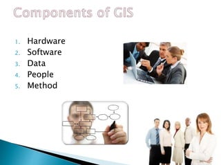


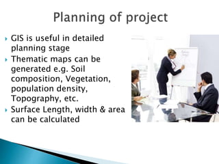
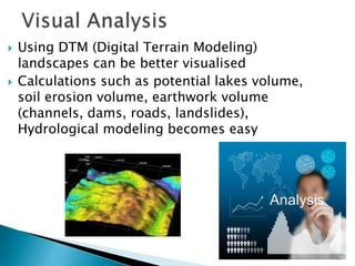
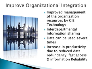


This document discusses Geographic Information Systems (GIS) and their components and applications. It explains that GIS integrates hardware, software, and geospatial data to capture, manage, analyze and display spatially referenced information. It then describes the key components of GIS, including hardware, software, data, users, and methods for map creation. Finally, it outlines several applications of GIS in urban planning such as project planning, decision making, spatial and visual analysis, and improving organizational integration.