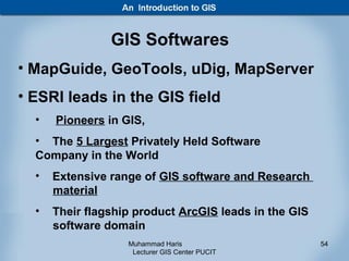
Downloaded 939 times

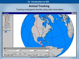
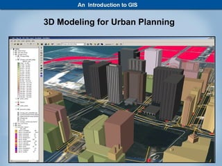
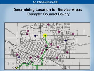
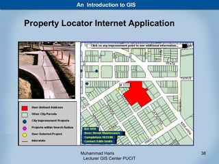
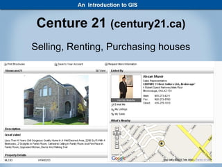
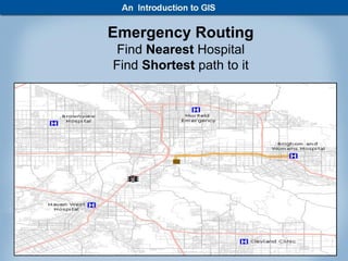

This document provides an introduction to Geographic Information Systems (GIS) presented by Muhammad Haris. It begins with informal definitions of GIS for beginners and discusses how GIS links spatial and attribute data to find patterns. Examples are given of how GIS represents and analyzes layered data in vector and raster formats. Major application areas of GIS are outlined such as emergency routing and 3D modeling. The presentation concludes with a discussion of common GIS software and where the technology is used.


