Downloaded 128 times


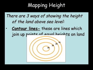
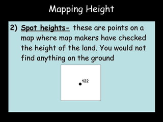
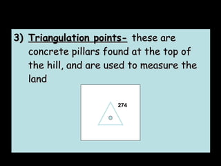
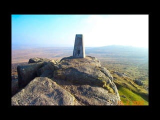
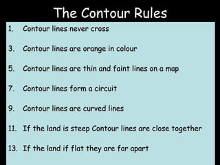
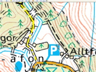
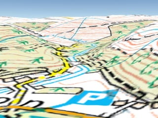

There are 3 ways to show height above sea level on a map: contour lines which join points of equal height; spot heights which are specific measured points; and triangulation points which are concrete pillars used for measurement. Contour lines never cross, are orange, thin and faint, form circuits, and are closer together for steeper land and farther apart for flatter land.