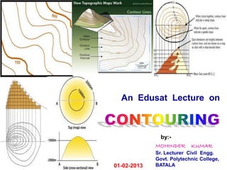
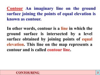
The document provides information on contouring and contour maps. It defines a contour as an imaginary line joining points of equal elevation. Contour maps show contour lines and provide information on surface altitudes and relative positions. The process of tracing contour lines is called contouring. Contour surveys are conducted for engineering projects to select sites, locate alignments, and minimize earthworks. The constant vertical distance between contours is the contour interval, while the horizontal distance varies based on slope. Contour interpolation involves proportionally spacing contours between plotted ground points based on assumed uniform slopes.