Downloaded 344 times


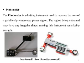
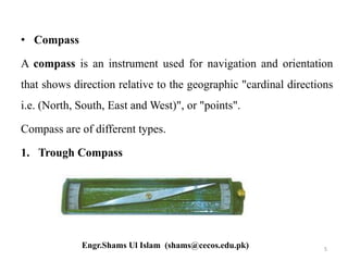


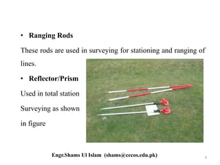


This document discusses surveying instruments used in civil engineering. It describes various tools like chains for measuring distance, clinometers for measuring inclined angles, planimeters for measuring irregular areas, and compasses for determining directions. Additional instruments mentioned include ranging rods, reflector prisms, auto levels, staff rods, theodolites, total stations, tripods, pegs, scales, plan tables, and plumb bobs. Each tool has a specific purpose in surveying applications.


