Downloaded 2,591 times


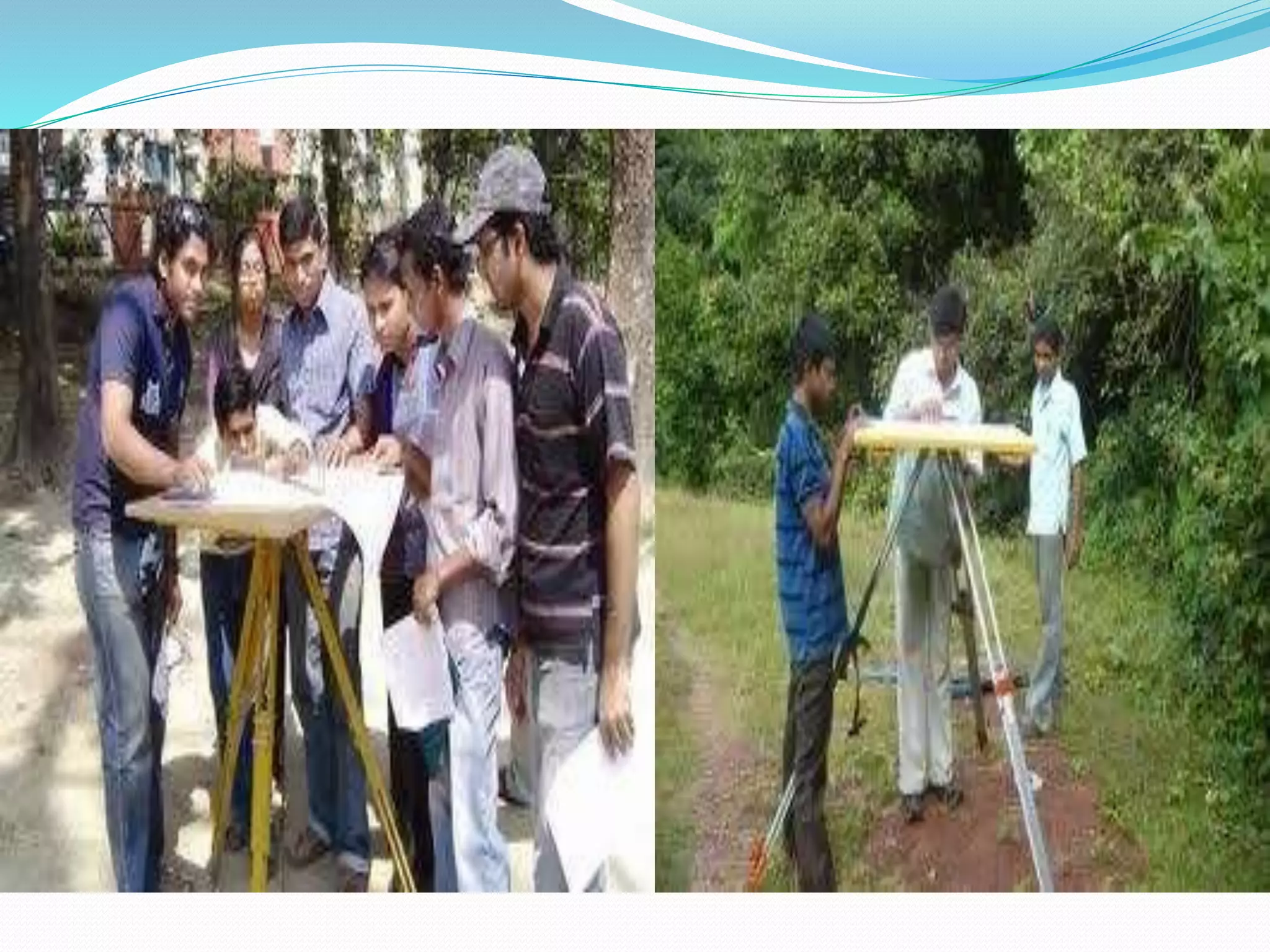


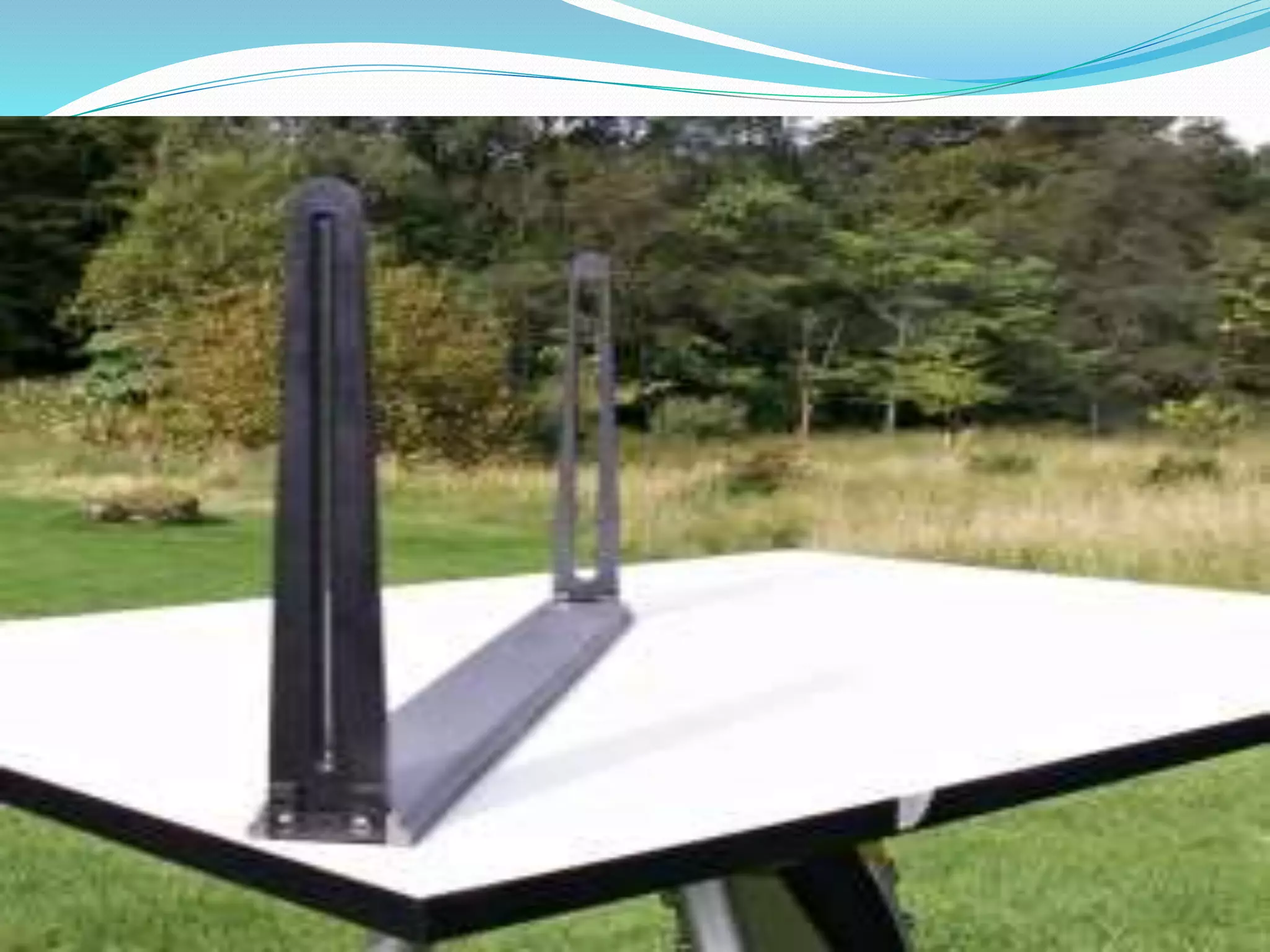
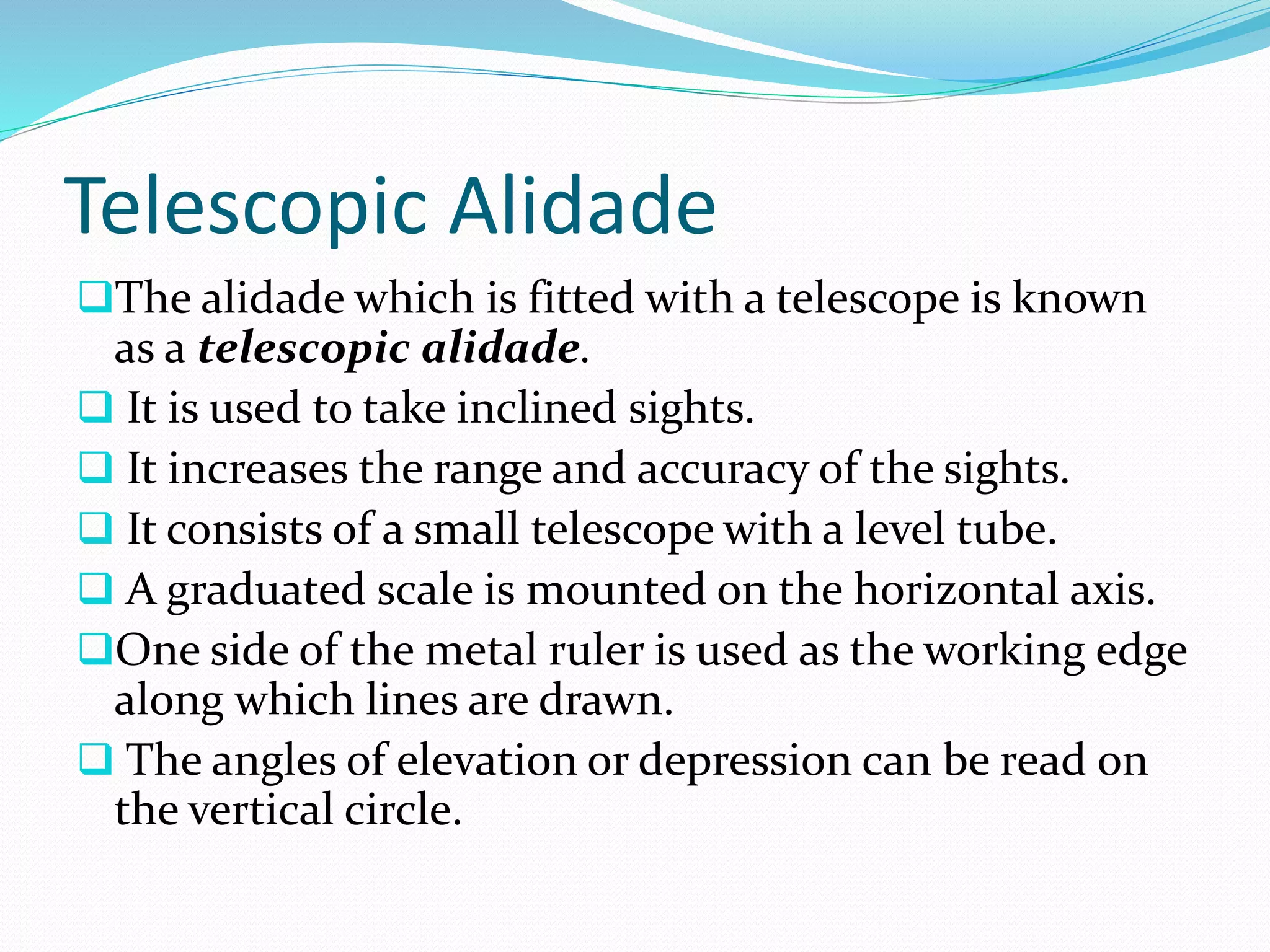
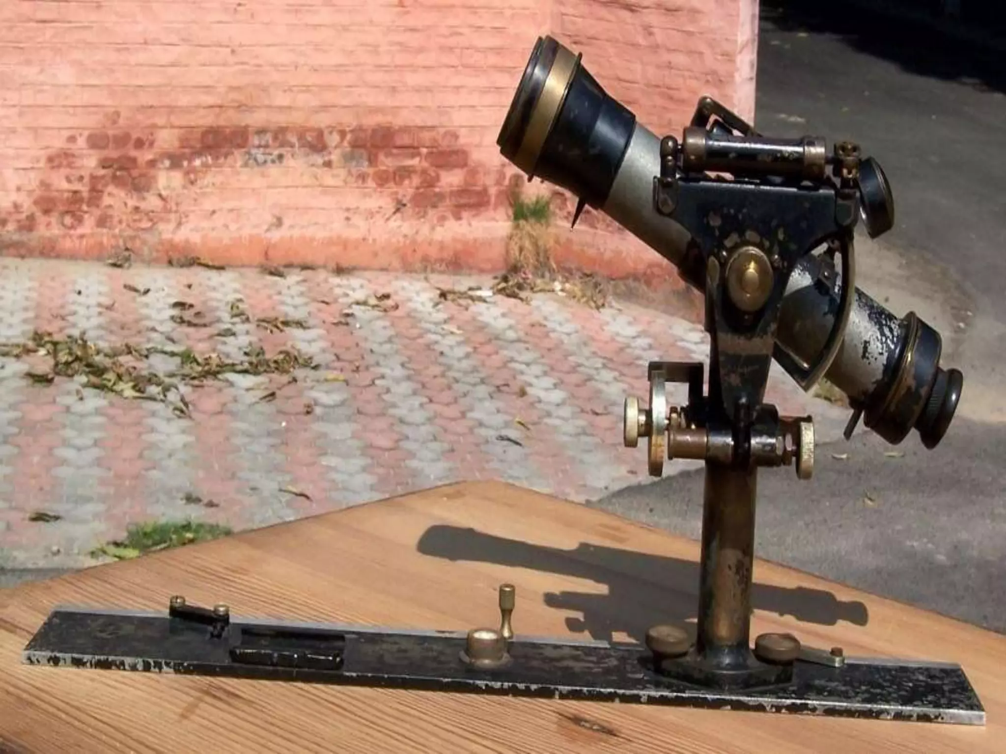
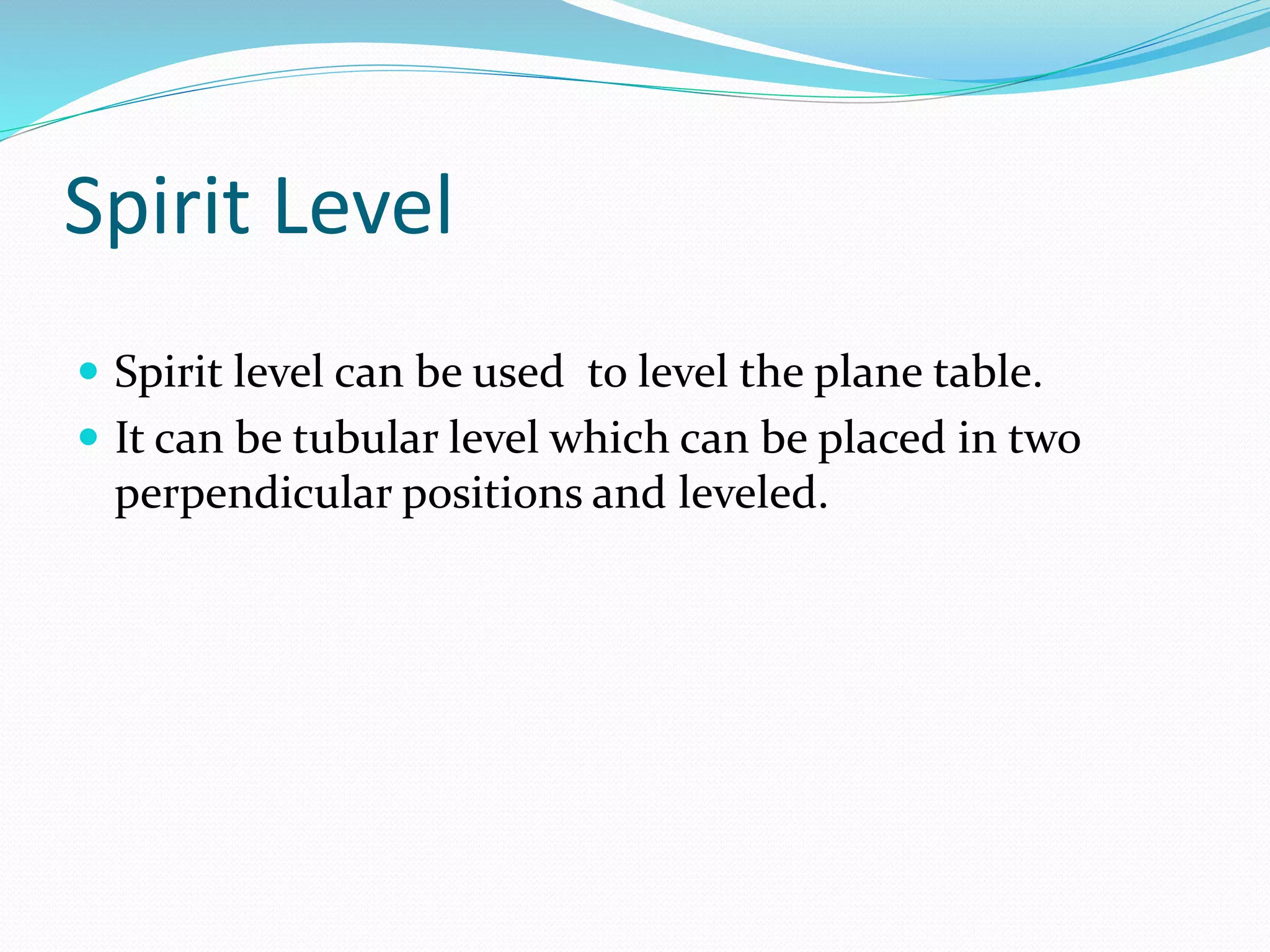
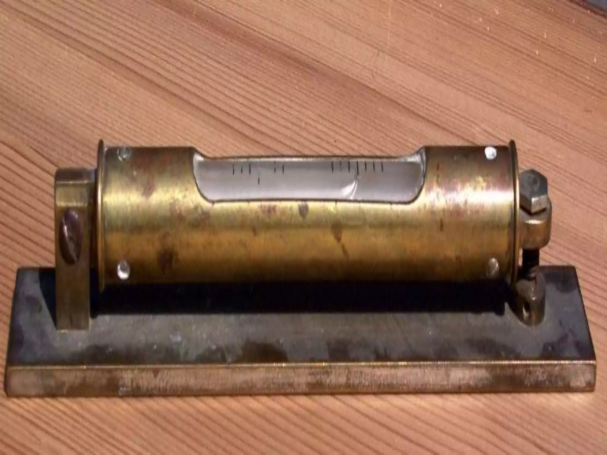
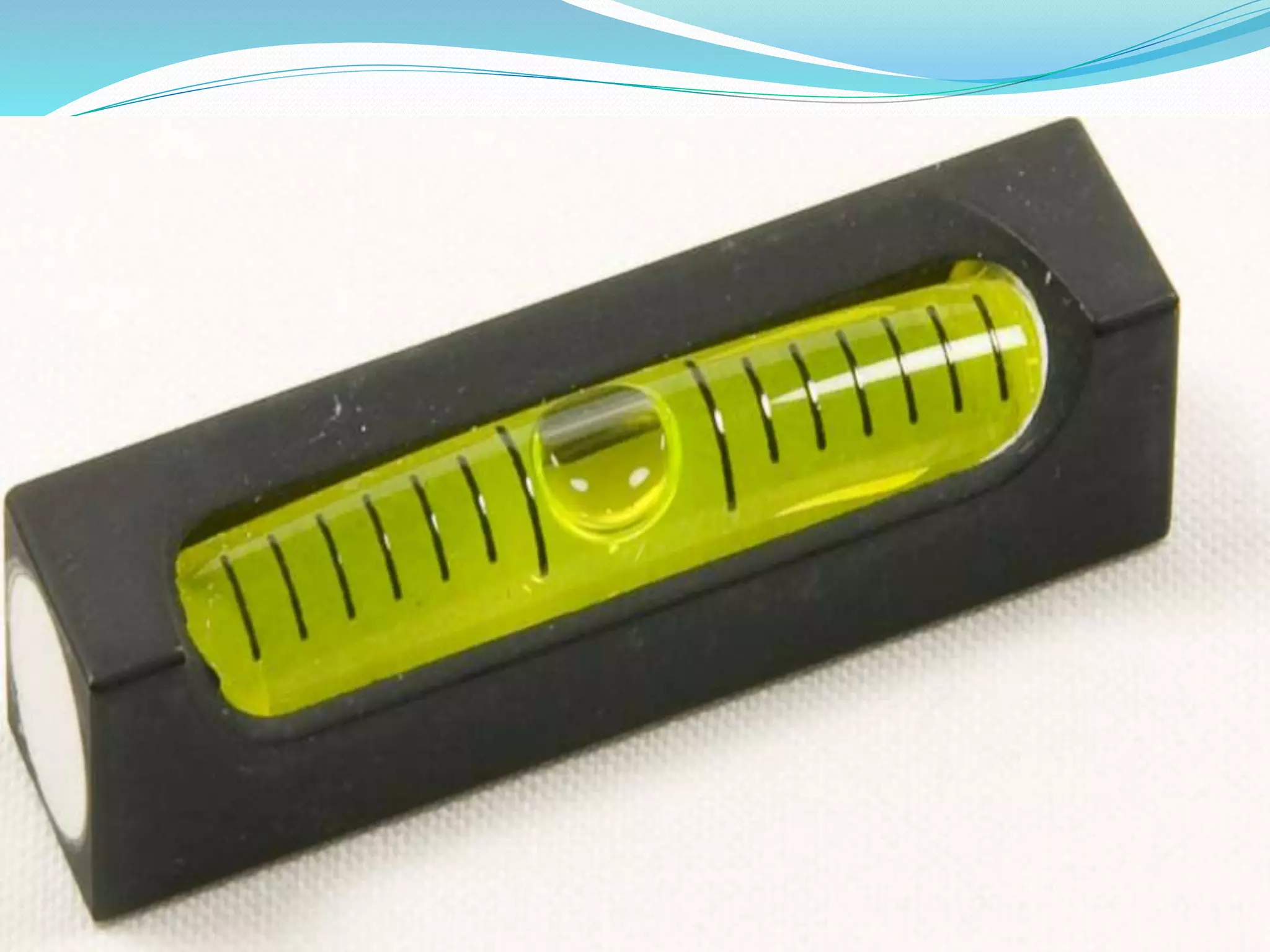

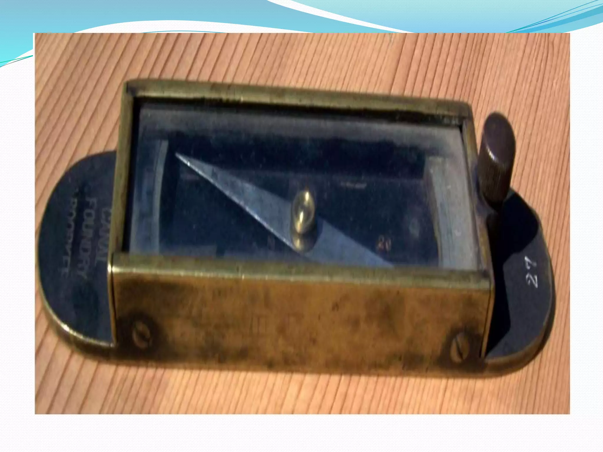


Plane table surveying involves simultaneously conducting fieldwork and plotting on a drawing board equipped with a ball and socket leveling arrangement. An alidade, which is a ruler with a fiducial edge and sighting frames, is used to draw lines of sight. A telescopic alidade can take inclined sights to increase range and accuracy. Orientation is achieved through resection or backsight methods. The radiation, intersection, traversing, and resection plane table methods are used to connect stations and fill in surveyed details on the map.