Download as PDF, PPTX
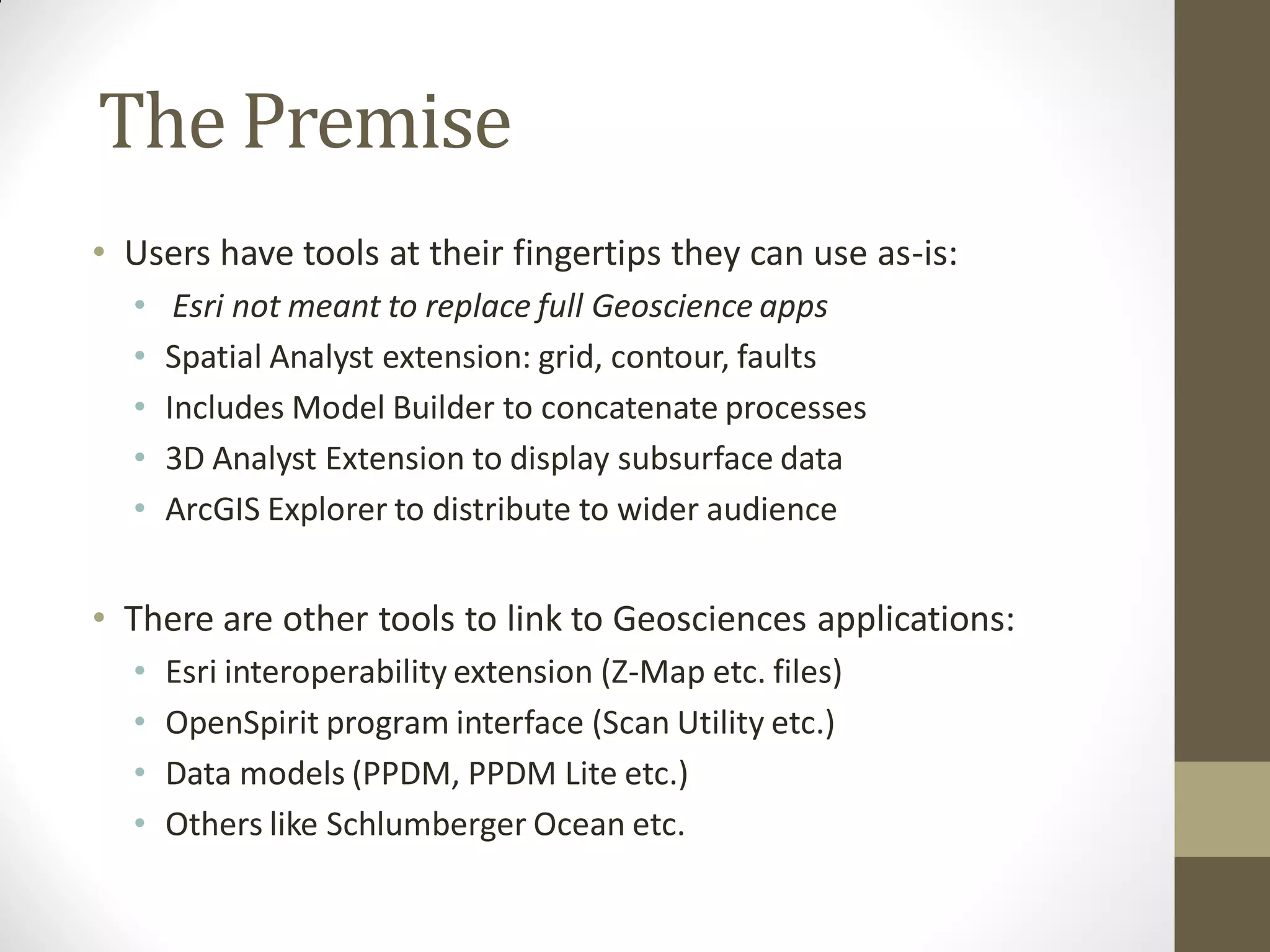
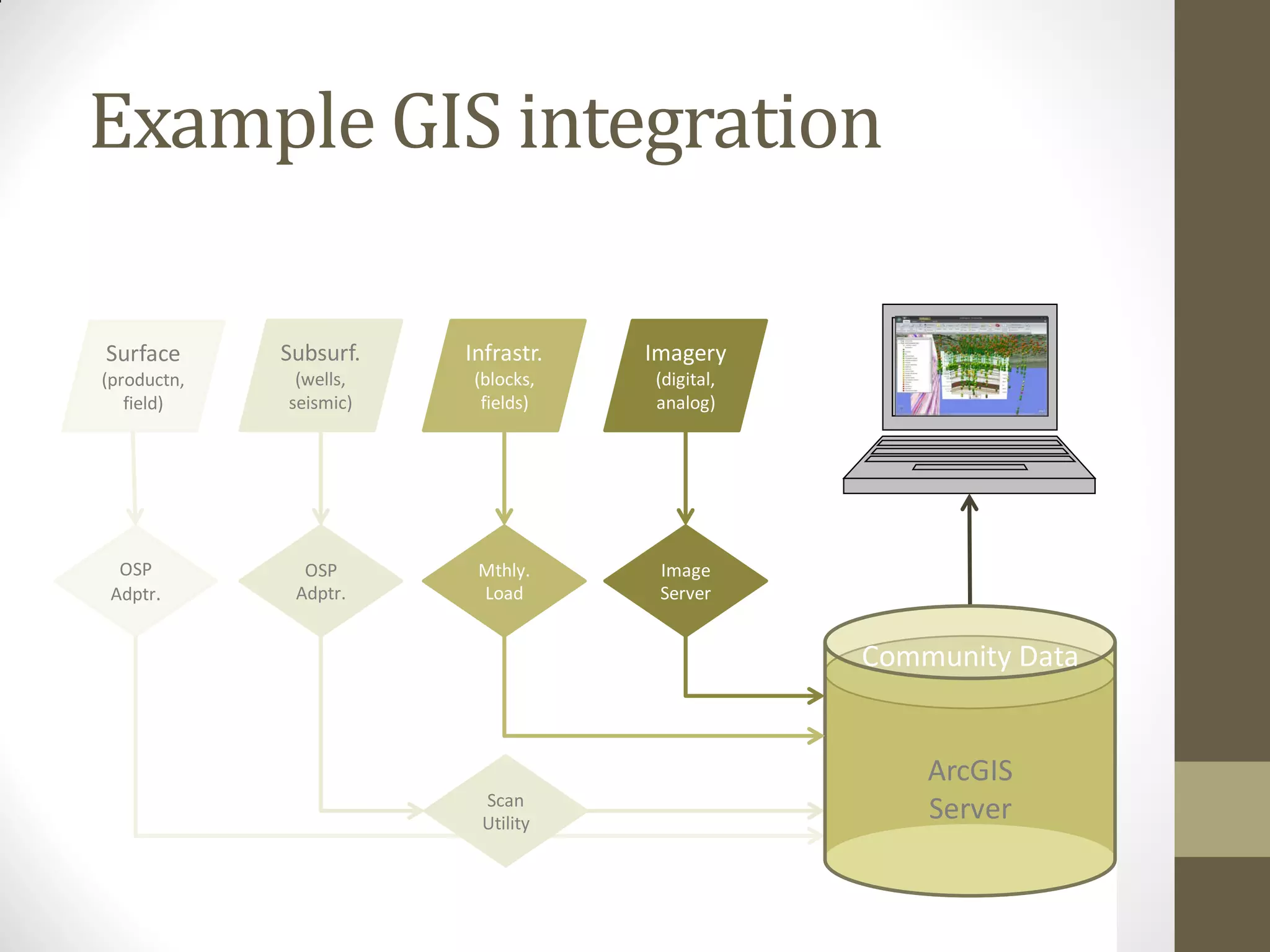
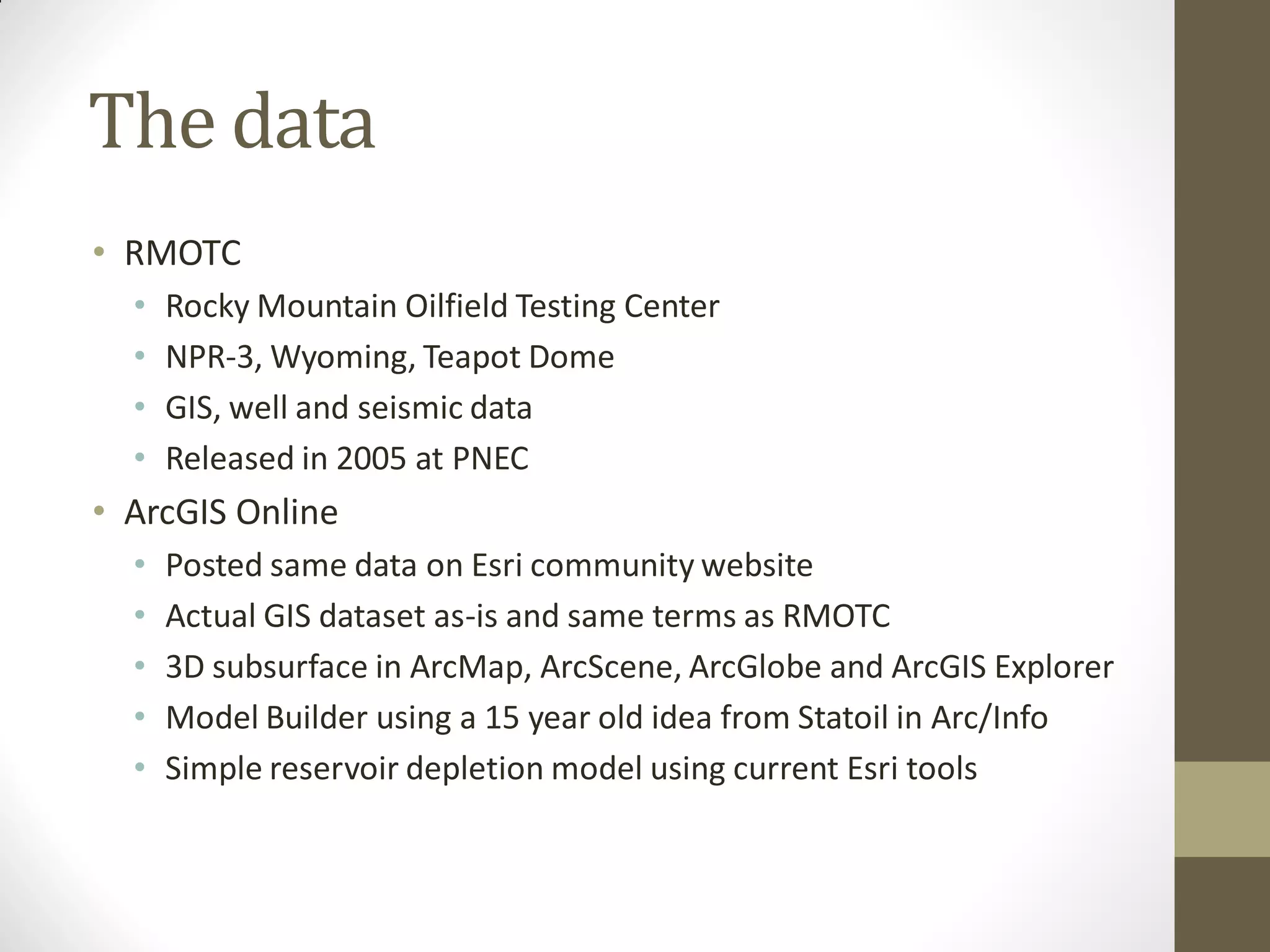
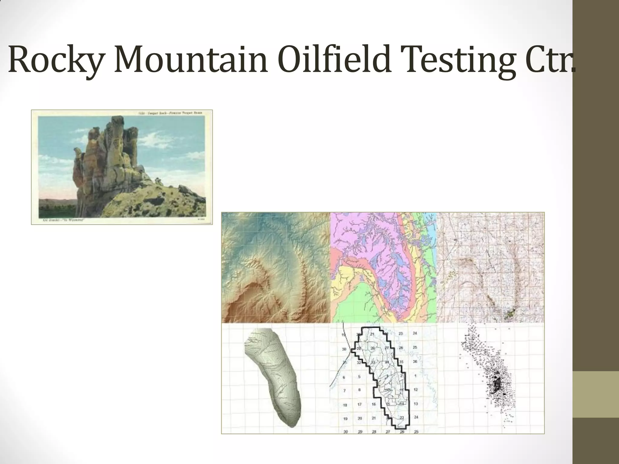
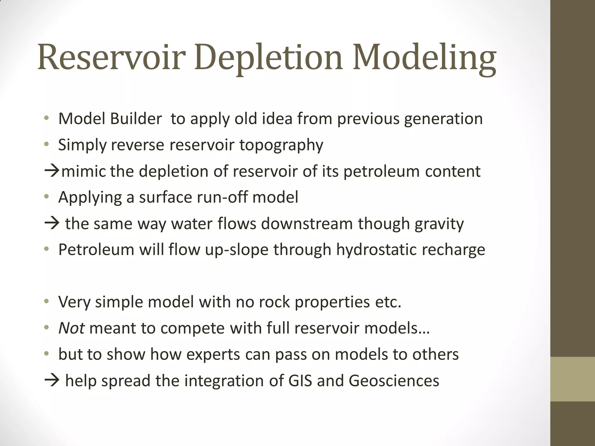
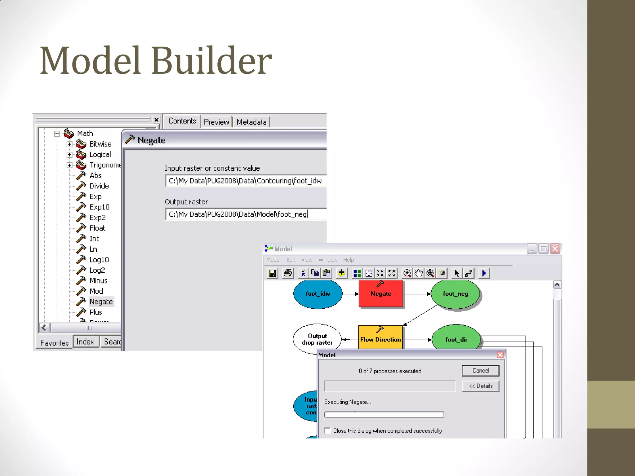
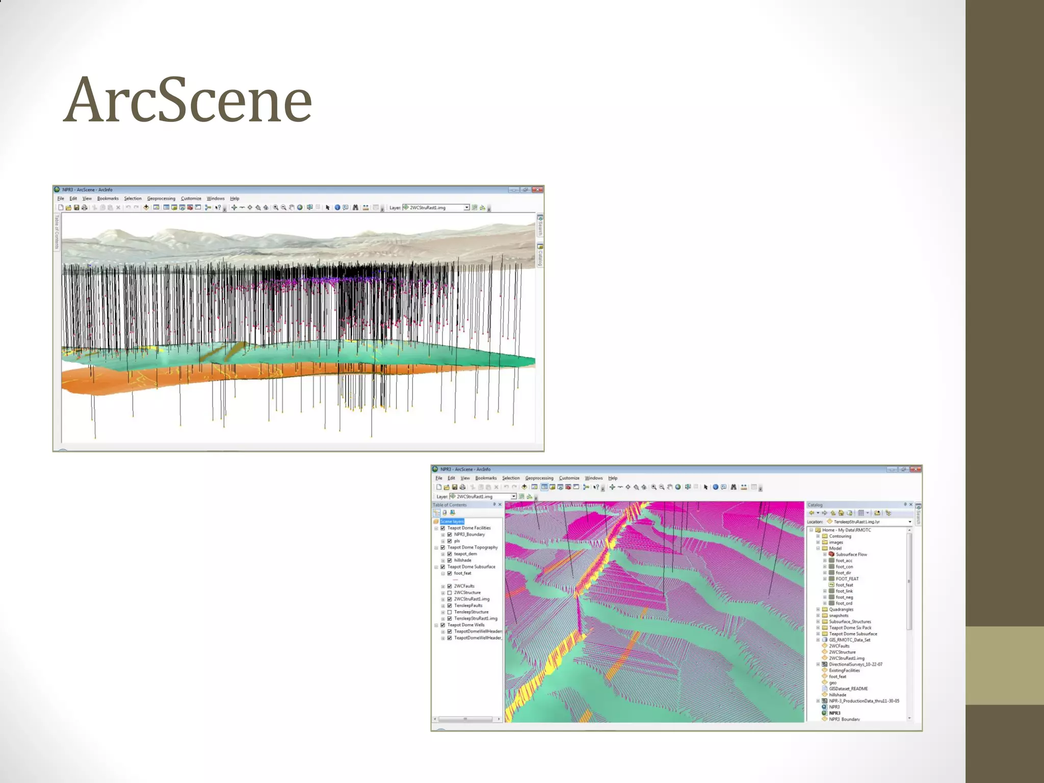
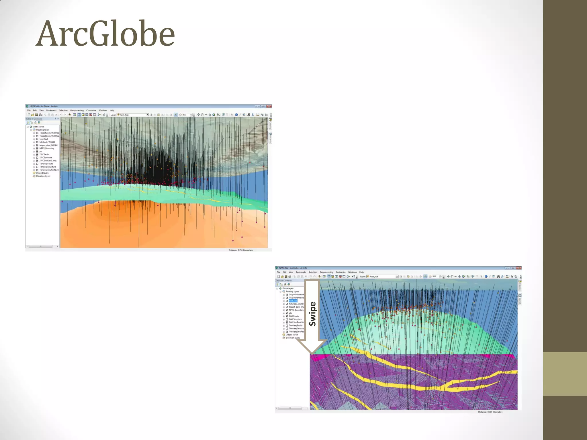
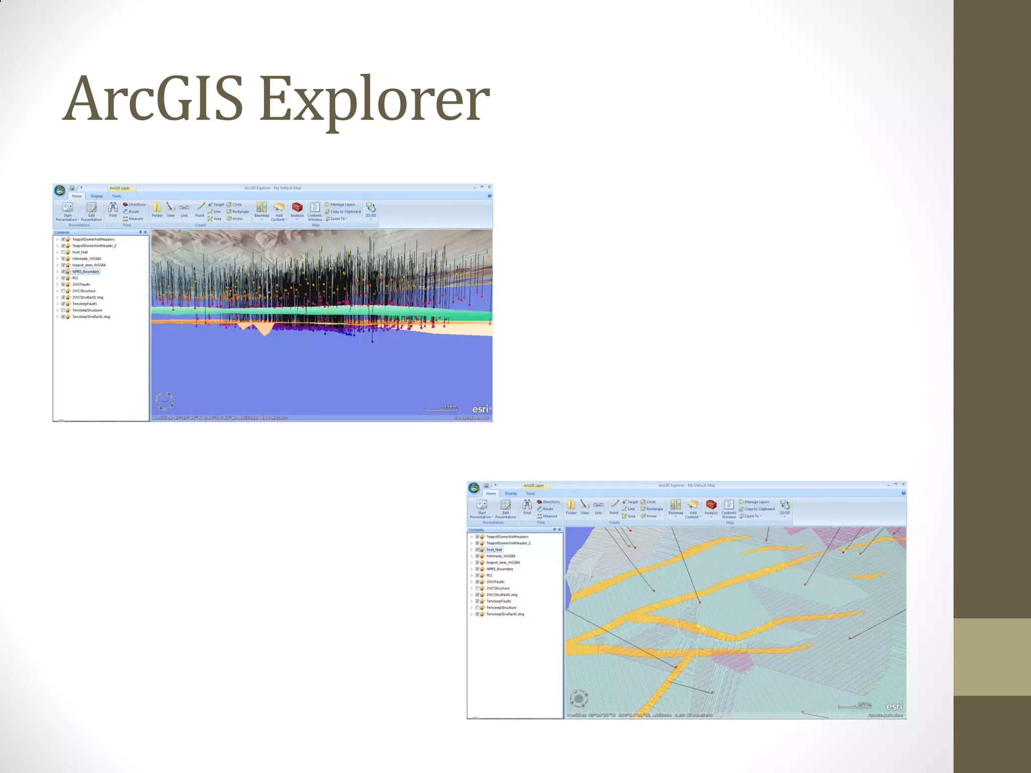

This document summarizes using Esri GIS tools to model simple subsurface reservoir depletion using publicly available petroleum data from the Rocky Mountain Oilfield Testing Center. It describes how users can utilize built-in Esri extensions for 3D visualization and spatial analysis without specialized applications. As an example, a 15-year old reservoir depletion model originally developed by Statoil is replicated using Model Builder to reverse reservoir topography and simulate hydrocarbon flow upwards through hydrostatic pressure like a surface runoff model. While a simple approach, it demonstrates how experts can share models to help spread integration of GIS and geosciences to a wider audience through tools in ArcGIS Online, ArcMap, ArcScene, ArcGlobe and ArcGIS Explorer.


