Downloaded 262 times
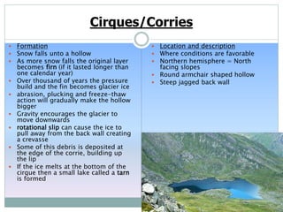
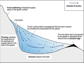
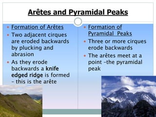
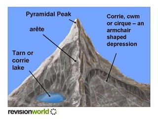
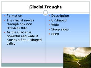
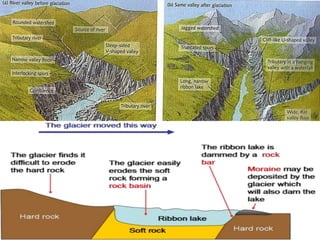
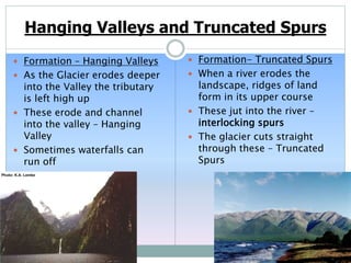
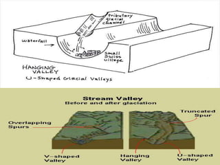
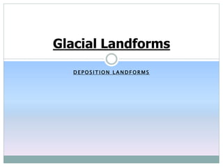
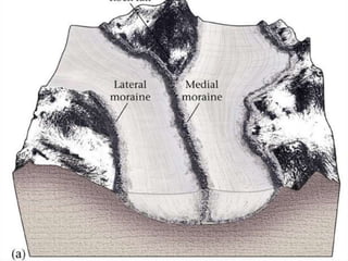
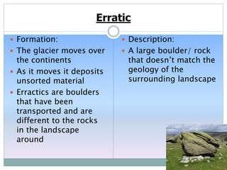
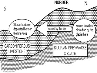
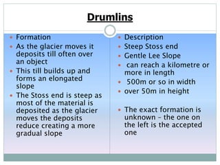
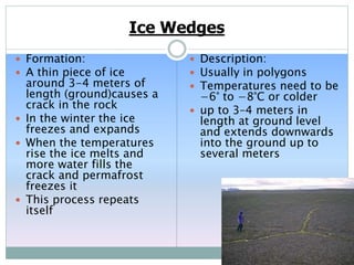
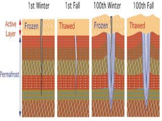
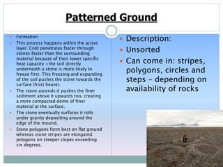
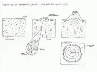
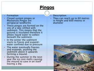
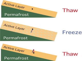

This document describes various glacial and periglacial landforms formed by glacial erosion and deposition. Cirques are round hollows formed by glacial erosion in mountain regions. Arêtes are knife-edged ridges formed between two cirques, and pyramidal peaks form where three or more cirques meet. Glacial erosion can also form U-shaped valleys called troughs. Deposition by glaciers forms landforms like till, moraines, drumlins and erratics. Periglacial processes in cold regions without glaciers form patterned ground, ice wedges, pingos and other landforms through freeze-thaw action.


![Chapter 12 graphics- glaciers (1) [Autosaved].ppt](https://cdn.slidesharecdn.com/ss_thumbnails/chapter12graphics-glaciers1autosaved-230303182549-de7c9ed7-thumbnail.jpg?width=640&height=640&fit=bounds)


