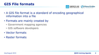

This document discusses GIS file formats, conversions between formats, and common vector and raster formats. It provides the following key points: 1. GIS file formats encode geographic information into files, with main formats created by mapping agencies and GIS software developers, including vector and raster formats. 2. The GDAL/OGR libraries support conversions between 142 raster formats and 84 vector formats and are used in many GIS software programs. 3. Common vector formats include ESRI Shapefiles and CSV files, while common raster formats include TIFF and GeoTIFF files.