Downloaded 228 times
![28
References
[1] Coors, V., 2002, 3D GIS in Networking environments, CEUS (to be published), 17 p.
[2] Oosterom. P.J.M. van, J.E. Stoter, S. Zlatanova, W.C. Quak, 2002, The balance between
Geometry and Topology, Advances in Spatial Data handling, D.Richardson, P.van Oosterom
(Eds.), Ottawa, Canada, 9-12 July
[3] Coors, V. and V. Jung, 1998, Using VRML as an Interface to the 3D data warehouse, in:
Proceedings of VRML'98, New York
[4] Abdul-Rahman, A., 2000. The design and implementation of two and three-dimensional
triangular irregular network (TIN) based GIS. PhD thesis, University of Glasgow, Scotland,
United Kingdom, 250 p. [5] P. Vessen, “wireless Power transmission,” Leonardo energy; briefing
paper.
[6] http://www.innovativegis.com/basis/mapanalysis/Topic27/Topic27.htm
[7] http://proceedings.esri.com/library/userconf/proc01/professional.../papers/pap565/p565.htm
[8] Deren Li, Qing Zhu Qiang, Liu Peng Xu., From 2D to 3D GIS for CYBERCITY ,State Key
Laboratory of Information Engineering in Surveying, Mapping and Remote Sensing, Wuhan
Universit
[9] Claire Ellul, Muki Haklay. 2006 Requirements for Topology in 3D GIS
[10] Billen R., S. Zlatanova, P. Mathonet and F. Boniver, 2002, The Dimensional Model: a framework
to distinguish spatial relationships, in: Advances in Spatial Data handling, D.Richardson, P.van
Oosterom (Eds.), Springer, Ottawa, Canada, 9-12 July, pp. 285-298
[11] Alias Abdul Rahman1, Sisi Zlatanova2, Morakot Pilouk, The 3D GIS Software Development:
global efforts from researchers and vendors](https://image.slidesharecdn.com/threedimensional3dgis-140107113359-phpapp01/85/Three-dimensional-3D-GIS-28-320.jpg)


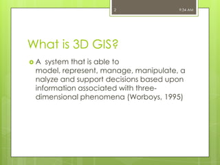
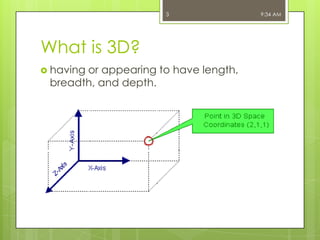
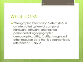
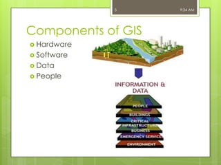
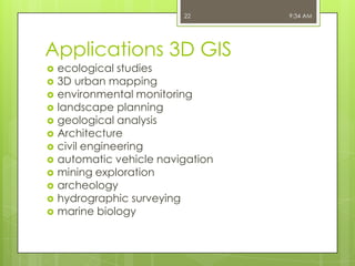
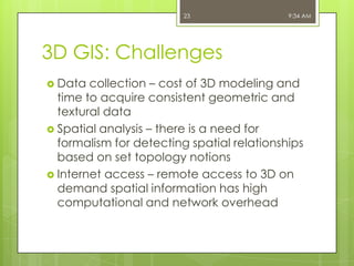
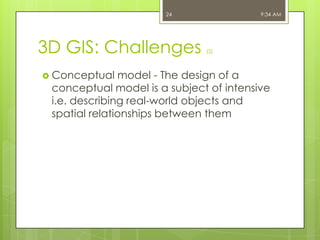
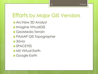
3D GIS systems allow for modeling, representation, and analysis of spatial data in three dimensions. It extends traditional 2D GIS capabilities to incorporate depth information. 3D GIS faces challenges such as high data collection costs and developing formalisms for spatial analysis and relationships in 3D. While still specialized, 3D GIS has many applications and is being further developed by major GIS vendors and through integrating technologies like virtual reality.


