Downloaded 13 times
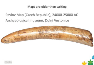
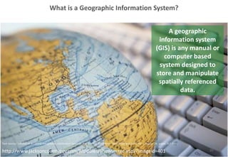

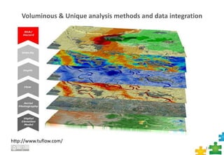
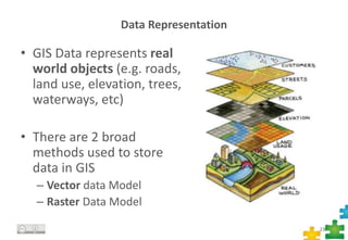
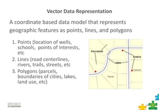
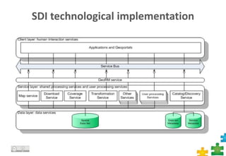

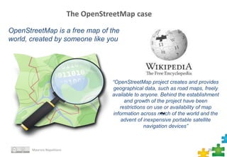
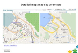
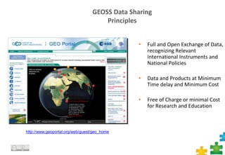


This document provides an overview of maps, geographic information systems (GIS), and spatial data infrastructures (SDI). It discusses how maps predate writing, how GIS allows analyzing geospatial data through software, and how SDIs facilitate sharing and using spatial data. Key topics covered include GIS data models, common file formats, examples of GIS software, the purpose of the INSPIRE directive, and OpenStreetMap as an open SDI project.


![Polymer [ बहुलक ] Chemistry Notes PDF - Irfanullah Mehar - JJ Sir Chemistry.pdf](https://cdn.slidesharecdn.com/ss_thumbnails/polymerchemistrynotespdf-irfanullahmehar-jjsirchemistry-260210172118-3f9b37f7-thumbnail.jpg?width=640&height=640&fit=bounds)
